How to get to R.D. Talley Books Publishing by bus?
Click on the bus route to see step by step directions with maps, line arrival times and updated time schedules.
From Cannery Casino & Hotel, North Las Vegas
41 minFrom Main Street Station Hotel & Casino (Main Street Station Casino Brewery Hotel), Las Vegas
43 minFrom Poker Palace Casino, North Las Vegas
61 minFrom Healthcore, Las Vegas
43 minFrom Lake Las Vegas, Las Vegas
56 minFrom Las Vegas Zoo, Las Vegas
26 minFrom Outlet Mall, Las Vegas
47 minFrom W. Charleston CSN DRC, Las Vegas
45 minFrom World Market Center, Las Vegas
64 minFrom Las Vegas Hair Clinic, Las Vegas
30 min
Bus stops near R.D. Talley Books Publishing in Las Vegas
Bus lines to R.D. Talley Books Publishing in Las Vegas
What are the closest stations to R.D. Talley Books Publishing?
The closest stations to R.D. Talley Books Publishing are:
- Sb Decatur After Lone Mountain is 315 yards away, 4 min walk.
- Eb Craig After Thom is 845 yards away, 10 min walk.
Which bus line stops near R.D. Talley Books Publishing?
103 (103a Decatur Northbound)
What’s the nearest bus station to R.D. Talley Books Publishing in Las Vegas?
The nearest bus station to R.D. Talley Books Publishing in Las Vegas is Sb Decatur After Lone Mountain. It’s a 4 min walk away.
What time is the first bus to R.D. Talley Books Publishing in Las Vegas?
The 103 is the first bus that goes to R.D. Talley Books Publishing in Las Vegas. It stops nearby at 3:10 AM.
What time is the last bus to R.D. Talley Books Publishing in Las Vegas?
The 103 is the last bus that goes to R.D. Talley Books Publishing in Las Vegas. It stops nearby at 3:12 AM.
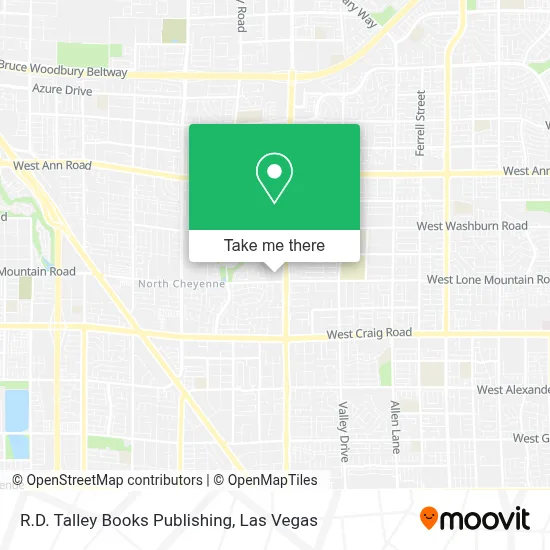
See R.D. Talley Books Publishing, Las Vegas, on the map
Public Transit to R.D. Talley Books Publishing in Las Vegas
Wondering how to get to R.D. Talley Books Publishing in Las Vegas? Moovit helps you find the best way to get to R.D. Talley Books Publishing with step-by-step directions from the nearest public transit station.
Moovit provides free maps and live directions to help you navigate through your city. View schedules, routes, timetables, and find out how long does it take to get to R.D. Talley Books Publishing in real time.
Looking for the nearest stop or station to R.D. Talley Books Publishing? Check out this list of stops closest to your destination: Sb Decatur After Lone Mountain; Eb Craig After Thom.
Bus: 103, 219.
Want to see if there’s another route that gets you there at an earlier time? Moovit helps you find alternative routes or times. Get directions from and directions to R.D. Talley Books Publishing easily from the Moovit App or Website.
We make riding to R.D. Talley Books Publishing easy, which is why over 1.7 million users, including users in Las Vegas, trust Moovit as the best app for public transit. You don’t need to download an individual bus app or train app, Moovit is your all-in-one transit app that helps you find the best bus time or train time available.
For information on prices of bus, costs and ride fares to R.D. Talley Books Publishing, please check the Moovit app.
Use the app to navigate to popular places including to the airport, hospital, stadium, grocery store, mall, coffee shop, school, college, and university.
R.D. Talley Books Publishing Address: 3500 S Las Vegas Blvd street in Las Vegas
- Shelly Rogers - Unitedhealthcare Licensed Sales Agent,
- Opportunity Village,
- Smiths Money Services,
- Janice Darko, DDS,
- McDonald's,
- Craig Rd and Simmons,
- Las Vegas, Summerlin, & Henderson, Nevada,
- Eos Fitness,
- Planet Fitness,
- 7-11,
- University Medical Center,
- UMC Quick Care | Urgent Care,
- Lied Stem Academy,
- Centennial Hills Seventh Day Adventist Church,
- Allen Ln / W Alexander Rd,
- WinCo Foods,
- Village Starfish,
- Ross Dress for Less,
- FedEx,
- W Tropical Pkwy
Places Near R.D. Talley Books Publishing (Las Vegas)
- Walmart, Las Vegas,
- Omega Mart, Las Vegas,
- Las Vegas Premium Outlets-North, Enterprise,
- Arte Museum Las Vegas, Paradise,
- Gold & Silver Pawn Shop, Las Vegas,
- Koolsville Tattoos, Las Vegas,
- Allegiant Stadium, Paradise,
- Zak Bagans Haunted Museum, Las Vegas,
- The Palms Casino Resort, Paradise,
- Town Square, Enterprise,
- Trump International Hotel Las Vegas, Paradise,
- Las Vegas South Premium Outlets, Enterprise,
- The Neon Museum, Las Vegas,
- Las Vegas North Premium Outlets, Las Vegas,
- Walmart Supercenter, Las Vegas,
- Lee Canyon, Las Vegas,
- The Deuce Bus Stop at Fremont St, Las Vegas,
- Meow Wolf - Las Vegas (Meow Wolf's Omega Mart), Las Vegas,
- Area15, Las Vegas,
- Welcome To Fabulous Las Vegas Sign, Paradise
How to get to popular places in Las Vegas with public transit
Get around Las Vegas by public transit!
Traveling around Las Vegas has never been so easy. See step by step directions as you travel to any attraction, street or major public transit station. View bus and train schedules, arrival times, service alerts and detailed routes on a map, so you know exactly how to get to anywhere in Las Vegas.
When traveling to any destination around Las Vegas use Moovit's Live Directions with Get Off Notifications to know exactly where and how far to walk, how long to wait for your line, and how many stops are left. Moovit will alert you when it's time to get off — no need to constantly re-check whether yours is the next stop.
Wondering how to use public transit in Las Vegas or how to pay for public transit in Las Vegas? Moovit public transit app can help you navigate your way with public transit easily, and at minimum cost. It includes public transit fees, ticket prices, and costs. Looking for a map of Las Vegas public transit lines? Moovit public transit app shows all public transit maps in Las Vegas with all Bus and Monorail routes and stops on an interactive map.
Las Vegas has 2 transit type(s), including: Bus and Monorail, operated by several transit agencies, including RTCSNV, City of Las Vegas, Alvand Transportation, Vegas Airporter, Las Vegas Monorail, FlixBus-us and Greyhound-us