R. Diego Velasquez, 570 stop - Wednesday schedule
| Line | Direction | Time |
|---|---|---|
| 8050-31 | Pq. Morro Doce | 6:24 AM |
| 8050-31 | Pq. Morro Doce | 6:54 AM |
| 8050-31 | Pq. Morro Doce | 7:36 AM |
| 8050-31 | Pq. Morro Doce | 8:19 AM |
| 8050-31 | Pq. Morro Doce | 8:54 AM |
| 8050-31 | Pq. Morro Doce | 9:29 AM |
| 8050-31 | Pq. Morro Doce | 10:04 AM |
| 8050-31 | Pq. Morro Doce | 10:37 AM |
| 8050-31 | Pq. Morro Doce | 11:18 AM |
| 8050-31 | Pq. Morro Doce | 12:13 PM |
| 8050-31 | Pq. Morro Doce | 12:58 PM |
| 8050-31 | Pq. Morro Doce | 1:38 PM |
| 8050-31 | Pq. Morro Doce | 2:13 PM |
| 8050-31 | Pq. Morro Doce | 2:48 PM |
| 8050-31 | Pq. Morro Doce | 3:26 PM |
| 8050-31 | Pq. Morro Doce | 4:09 PM |
| 8050-31 | Pq. Morro Doce | 4:39 PM |
| 8050-31 | Pq. Morro Doce | 5:09 PM |
| 8050-31 | Pq. Morro Doce | 5:39 PM |
| 8050-31 | Pq. Morro Doce | 6:09 PM |
| 8050-31 | Pq. Morro Doce | 6:44 PM |
| 8050-31 | Pq. Morro Doce | 7:19 PM |
| 8050-31 | Pq. Morro Doce | 7:49 PM |
| 8050-31 | Pq. Morro Doce | 8:15 PM |
| 8050-31 | Pq. Morro Doce | 8:42 PM |
Directions to R. Diego Velasquez, 570 stop (Anhanguera) with public transit
The following transit lines have routes that pass near R. Diego Velasquez, 570
 Bus: 261, 352, 386, 8013-10, 8014-10.
How to get to R. Diego Velasquez, 570 stop by bus?
Click on the bus route to see step by step directions with maps, line arrival times and updated time schedules.
Bus stops near R. Diego Velasquez, 570 stop in Anhanguera
- R. Diego Velasquez, 533, 1 min walk,
- R. Delsuc Alves de Magalhães, 194, 1 min walk,
- R. Domênico Aspari, 1, 4 min walk,
- Rod. Anhanguera 6806, 5 min walk,
- Estr. Cel. José Gladiador, 262 - Parque Anhangüera, São Paulo, 6 min walk,
- Rod. Anhanguera (Pista Lateral), 6 min walk,
Bus lines to R. Diego Velasquez, 570 stop in Anhanguera
- 8050-31, Pq. Morro Doce,
- 1012-10, Jd. Monte Belo,
- 1012-21, Jd. Rosinha,
- 1014-10, Morro Doce,
- 1015-10, Chác. Maria Trindade,
- 8013-10, Lapa,
- 8013-41, Jd. Paineiras,
- 8014-10, Perus,
- 119L-10, Vila Sulina - Terminal Lapa,
- 8050-10, Parque Morro Doce - Lapa,
- 8055-10, Perus - Lapa,
- 8055-51, Perus - Metrô Barra Funda,
- 8622-10, Morro Doce - Praça Ramos De Azevedo,
- 564, Santana de Parnaiba (Centro),
- 054, Cajamar (Jordanesia) - Sao Paulo (Lapa),
- 055, Cajamar (Cte - Vila Nova) - Sao Paulo (Lapa),
- 198, Caieiras (Laranjeiras) - Sao Paulo (Lapa),
- 261, Santana de Parnaiba (Varzea de Souza) - Sao Paulo (Lapa),
- 310, Sao Paulo (Lapa) - Santana de Parnaiba (Colinas da Anhanguera),
- 352, Santana de Parnaiba (Cidade de Sao Pedro) - Sao Paulo (Lapa),
What are the closest stations to R. Diego Velasquez, 570?
The closest stations to R. Diego Velasquez, 570 are:
- R. Diego Velasquez, 533 stop is 39 meters away, 1 min walk.
- R. Delsuc Alves de Magalhães, 194 stop is 55 meters away, 1 min walk.
- R. Domênico Aspari, 1 stop is 294 meters away, 4 min walk.
- Rod. Anhanguera 6806 stop is 342 meters away, 5 min walk.
- Estr. Cel. José Gladiador, 262 - Parque Anhangüera, São Paulo stop is 415 meters away, 6 min walk.
- Rod. Anhanguera (Pista Lateral) stop is 435 meters away, 6 min walk.
Which bus lines stop near R. Diego Velasquez, 570?
These bus lines stop near R. Diego Velasquez, 570: 261, 352, 386, 8013-10, 8014-10, 8622-10.
What’s the nearest bus station to R. Diego Velasquez, 570 in Anhanguera?
The nearest bus stations to R. Diego Velasquez, 570 in Anhanguera are R. Diego Velasquez, 533 and R. Delsuc Alves de Magalhães, 194. The closest one is a 1 min walk away.
What time is the first bus to R. Diego Velasquez, 570 in Anhanguera?
The 1012-10 is the first bus that goes to R. Diego Velasquez, 570 in Anhanguera. It stops nearby at 3:21 AM.
What time is the last bus to R. Diego Velasquez, 570 in Anhanguera?
The 1012-10 is the last bus that goes to R. Diego Velasquez, 570 in Anhanguera. It stops nearby at 1:45 AM.
R. Diego Velasquez, 570 station
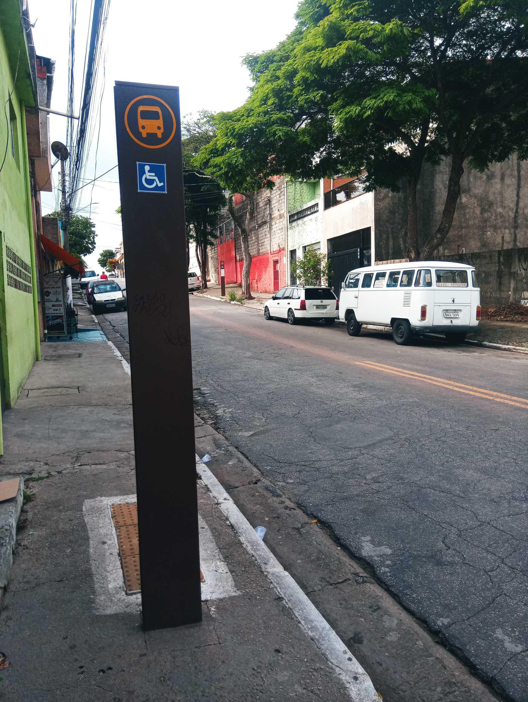 Taken by Anonymous
See R. Diego Velasquez, 570 stop, Anhanguera, on the map
Public transit to R. Diego Velasquez, 570 stop in Anhanguera
Looking for directions to R. Diego Velasquez, 570 in Anhanguera, Brazil?
Download the Moovit App to find the current schedule and step-by-step directions for Bus or Train routes that pass through R. Diego Velasquez, 570.
Looking for the nearest stops closest to R. Diego Velasquez, 570 ? Check out this list of closest stops to your destination: R. Diego Velasquez; R. Delsuc Alves de Magalhães; R. Domênico Aspari; Rod. Anhanguera 6806; Estr. Cel. José Gladiador; Rod. Anhanguera (Pista Lateral).
Bus: 261, 352, 386, 8013-10, 8014-10, 8622-10, 8050-31, 1012-10, 1012-21, 1014-10, 1015-10, 8013-41, 119L-10, 8050-10, 8055-10, 8055-51, 564, 054, 055, 198, 310.
We make riding on public transit to R. Diego Velasquez, 570 easy, which is why over 1.7 billion users, including users in Anhanguera trust Moovit as the best app for public transit.
Use the app to navigate to popular places including to the airport, hospital, stadium, grocery store, mall, coffee shop, school, college, and university.
The first line to this stop is 8050-31, at 6:24 AM, and the last line is 8050-31 at 11:49 PM.
6 A Rua Diego Velasquez, São Paulo, Brazil
This stop serves SPTrans’s lines
- R. Diego Velasquez, 533,
- R. Delsuc Alves de Magalhães, 194,
- R. Domênico Aspari, 1,
- Rod. Anhanguera 6806,
- Estr. Cel. José Gladiador, 262 - Parque Anhangüera, São Paulo,
- Rod. Anhanguera (Pista Lateral)
Bus stops near R. Diego Velasquez, 570 stop
- Estação Ana Neri,
- Av. Guido Aliberti, 4850 - Mauá, São Caetano do Sul,
- Terminal Metrô Conceição Oeste,
- Avenida Brigadeiro Luís Antônio 2337,
- Av. Eng. Caetano Alvares, 4528,
- Itapevi,
- Av. dos Nacionalistas, 920,
- Estrada Marechal Mascarenhas de Moraes- 601,
- Avenida Almirante Delamare,
- Av. Cel. Sezefredo Fagundes, 5550,
- USP Leste,
- Av. Vautier, 33,
- Estrada Kem Saito (Recanto Sol),
- Parada Bandeira Paulista 446,
- Avenida Professor Ascendino Reis, 724 • Metrô Aacd-Servidor,
- Av. Pires do Rio, 3439,
- Parada Faria Lima B/C,
- Terminal Santana de Parnaíba,
- Marechal Deodoro,
- Avenida Presidente Costa E Silva, 144
Popular public transit stations in Anhanguera
Get around Anhanguera by public transit!
Traveling around Anhanguera has never been so easy. See step by step directions as you travel to any attraction, street or major public transit station. View bus and train schedules, arrival times, service alerts and detailed routes on a map, so you know exactly how to get to anywhere in Anhanguera.
When traveling to any destination around Anhanguera use Moovit's Live Directions with Get Off Notifications to know exactly where and how far to walk, how long to wait for your line, and how many stops are left. Moovit will alert you when it's time to get off — no need to constantly re-check whether yours is the next stop.
Wondering how to use public transit in Anhanguera or how to pay for public transit in Anhanguera? Moovit public transit app can help you navigate your way with public transit easily, and at minimum cost. It includes public transit fees, ticket prices, and costs. Looking for a map of Anhanguera public transit lines? Moovit public transit app shows all public transit maps in Anhanguera with all Bus, Train, Metro, Light Rail, Ferry, Gondola, Cable Car and Funicular routes and stops on an interactive map.
Sao Paulo Region has 8 transit type(s), including: Bus, Train, Metro, Light Rail, Ferry, Gondola, Cable Car and Funicular, operated by several transit agencies, including SPTrans, CPTM, ViaMobilidade, Aquático SP, SPTRANS, EMTU, ViaQuatro, Auto Ônibus Moratense, GRU Airport (Aeroporto de Guarulhos), Auto Viação Urubupungá (Cajamar), Viação Cometa, Auto Viação Urubupungá (Osasco), Viação Ultra / Rápido Brasil, Auto Viação Urubupungá (Santana de Parnaíba) and Expresso Luxo