R. Domingos Alaleone, 45 stop - Thursday schedule
| Line | Direction | Time |
|---|---|---|
| 4030-10 | Shop. Aricanduva | 4:24 AM |
| 4030-10 | Shop. Aricanduva | 4:39 AM |
| 4030-10 | Shop. Aricanduva | 4:54 AM |
| 4030-10 | Shop. Aricanduva | 5:10 AM |
| 4030-10 | Shop. Aricanduva | 5:22 AM |
| 4030-10 | Shop. Aricanduva | 5:34 AM |
| 4030-10 | Shop. Aricanduva | 5:46 AM |
| 4030-10 | Shop. Aricanduva | 5:58 AM |
| 574W-10 | Jd. Walkiria | 6:08 AM |
| 4030-10 | Shop. Aricanduva | 6:10 AM |
| 4030-10 | Shop. Aricanduva | 6:22 AM |
| 574W-10 | Jd. Walkiria | 6:27 AM |
| 4030-10 | Shop. Aricanduva | 6:34 AM |
| 4030-10 | Shop. Aricanduva | 6:46 AM |
| 574W-10 | Jd. Walkiria | 6:46 AM |
| 4030-10 | Shop. Aricanduva | 6:58 AM |
| 574W-10 | Jd. Walkiria | 7:05 AM |
| 4030-10 | Shop. Aricanduva | 7:13 AM |
| 574W-10 | Jd. Walkiria | 7:24 AM |
| 4030-10 | Shop. Aricanduva | 7:28 AM |
| 574W-10 | Jd. Walkiria | 7:43 AM |
| 4030-10 | Shop. Aricanduva | 7:43 AM |
| 4030-10 | Shop. Aricanduva | 7:58 AM |
| 574W-10 | Jd. Walkiria | 8:01 AM |
| 4030-10 | Shop. Aricanduva | 8:13 AM |
Directions to R. Domingos Alaleone, 45 stop (Sapopemba) with public transit
The following transit lines have routes that pass near R. Domingos Alaleone, 45
 Bus: 4030-10, 574W-10.
- Metro: LINHA 15.
How to get to R. Domingos Alaleone, 45 stop by bus?
Click on the bus route to see step by step directions with maps, line arrival times and updated time schedules.
Bus stops near R. Domingos Alaleone, 45 stop in Sapopemba
- R. George Bekesy, 7, 1 min walk,
Metro stations near R. Domingos Alaleone, 45 station in Sapopemba
- Jardim Colonial, 16 min walk,
Bus lines to R. Domingos Alaleone, 45 stop in Sapopemba
- 574W-10, Metrô Belém,
- 4030-10, Shop. Aricanduva,
What are the closest stations to R. Domingos Alaleone, 45?
The closest stations to R. Domingos Alaleone, 45 are:
- R. George Bekesy, 7 stop is 17 meters away, 1 min walk.
- Jardim Colonial station is 1199 meters away, 16 min walk.
Which bus lines stop near R. Domingos Alaleone, 45?
These bus lines stop near R. Domingos Alaleone, 45: 4030-10, 574W-10.
What’s the nearest metro station to R. Domingos Alaleone, 45 in Sapopemba?
The nearest metro station to R. Domingos Alaleone, 45 in Sapopemba is Jardim Colonial. It’s a 16 min walk away.
What’s the nearest bus station to R. Domingos Alaleone, 45 in Sapopemba?
The nearest bus station to R. Domingos Alaleone, 45 in Sapopemba is R. George Bekesy, 7. It’s a 1 min walk away.
What time is the first metro to R. Domingos Alaleone, 45 in Sapopemba?
The LINHA 15 is the first metro that goes to R. Domingos Alaleone, 45 in Sapopemba. It stops nearby at 4:40 AM.
What time is the last metro to R. Domingos Alaleone, 45 in Sapopemba?
The LINHA 15 is the last metro that goes to R. Domingos Alaleone, 45 in Sapopemba. It stops nearby at 12:33 AM.
What time is the first bus to R. Domingos Alaleone, 45 in Sapopemba?
The 574W-10 is the first bus that goes to R. Domingos Alaleone, 45 in Sapopemba. It stops nearby at 3:51 AM.
What time is the last bus to R. Domingos Alaleone, 45 in Sapopemba?
The 574W-10 is the last bus that goes to R. Domingos Alaleone, 45 in Sapopemba. It stops nearby at 1:56 AM.
R. Domingos Alaleone, 45 station
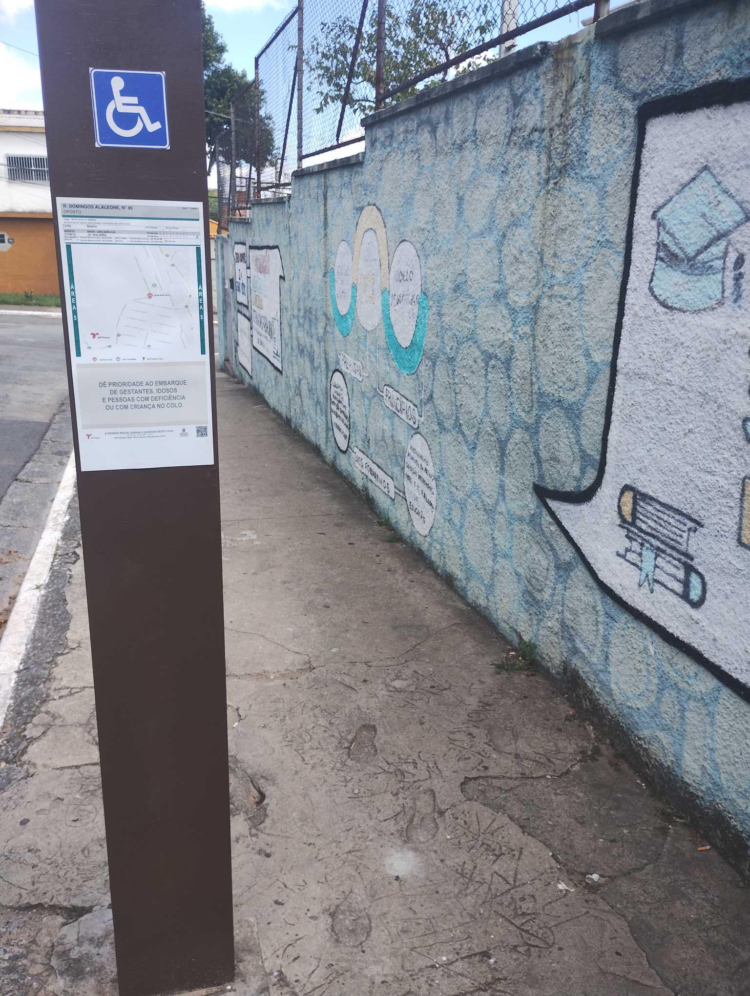 Taken by Anonymous
See R. Domingos Alaleone, 45 stop, Sapopemba, on the map
Public transit to R. Domingos Alaleone, 45 stop in Sapopemba
Looking for directions to R. Domingos Alaleone, 45 in Sapopemba, Brazil?
Download the Moovit App to find the current schedule and step-by-step directions for Bus or Train routes that pass through R. Domingos Alaleone, 45.
Looking for the nearest stops closest to R. Domingos Alaleone, 45 ? Check out this list of closest stops to your destination: R. George Bekesy; Jardim Colonial.
Bus: 4030-10, 574W-10.Metro: LINHA 15.
We make riding on public transit to R. Domingos Alaleone, 45 easy, which is why over 1.7 billion users, including users in Sapopemba trust Moovit as the best app for public transit.
Use the app to navigate to popular places including to the airport, hospital, stadium, grocery store, mall, coffee shop, school, college, and university.
The first line to this stop is 4030-10, at 4:24 AM, and the last line is 574W-10 at 1:53 AM.
7 Rua George Bekesy, São Paulo, Brazil
This stop serves SPTrans’s lines
- R. George Bekesy, 7
Bus stop near R. Domingos Alaleone, 45 stop
- Jardim Colonial
Metro station near R. Domingos Alaleone, 45 station
- Av. Vautier, 33,
- Av. Inconfidência Mineira, 2050,
- Hospital Doutor Arnaldo Pezzuti Cavalcanti (Espaco Do Usuario),
- Transporte Coletivo Privado,
- Avenida Marginal do Ribeirão,
- Rua Doutor Washington Pedro Lanzzelotti 241,
- Terminal Pirituba,
- Alto do Ipiranga,
- Av. Pres. Juscelino Kubitschek, 180 - Itaim Bibi, São Paulo,
- Av. Amador Bueno da Veiga, 195 | Centro Médico São Gabriel - Penha de França, São Paulo,
- Av. das Nações Unidas, 12495,
- R. Olavo Egídio, 163,
- Prefeito Celso Daniel-Santo André,
- Estação Adolfo Pinheiro 1,
- Avenida Hilário Pereira De Souza, 492,
- Viad. Nove de Julho, 160,
- R. Clênio Wanderley, 80,
- Ponto Final,
- Av. Arruda Botelho 255,
- Estrada Do Kiri
Popular public transit stations in Sapopemba
Get around Sapopemba by public transit!
Traveling around Sapopemba has never been so easy. See step by step directions as you travel to any attraction, street or major public transit station. View bus and train schedules, arrival times, service alerts and detailed routes on a map, so you know exactly how to get to anywhere in Sapopemba.
When traveling to any destination around Sapopemba use Moovit's Live Directions with Get Off Notifications to know exactly where and how far to walk, how long to wait for your line, and how many stops are left. Moovit will alert you when it's time to get off — no need to constantly re-check whether yours is the next stop.
Wondering how to use public transit in Sapopemba or how to pay for public transit in Sapopemba? Moovit public transit app can help you navigate your way with public transit easily, and at minimum cost. It includes public transit fees, ticket prices, and costs. Looking for a map of Sapopemba public transit lines? Moovit public transit app shows all public transit maps in Sapopemba with all Bus, Train, Metro, Light Rail, Ferry, Gondola, Cable Car and Funicular routes and stops on an interactive map.
Sao Paulo Region has 8 transit type(s), including: Bus, Train, Metro, Light Rail, Ferry, Gondola, Cable Car and Funicular, operated by several transit agencies, including SPTrans, CPTM, ViaMobilidade, Aquático SP, SPTRANS, EMTU, ViaQuatro, Auto Ônibus Moratense, GRU Airport (Aeroporto de Guarulhos), Auto Viação Urubupungá (Cajamar), Viação Cometa, Auto Viação Urubupungá (Osasco), Viação Ultra / Rápido Brasil, Auto Viação Urubupungá (Santana de Parnaíba) and Expresso Luxo