R. Domingos de Morais, 2800 stop - Tuesday schedule
| Line | Direction | Time |
|---|---|---|
| N604-11 | Metrô Jabaquara | 3:26 AM |
| N604-11 | Metrô Jabaquara | 4:11 AM |
| N604-11 | Metrô Jabaquara | 4:26 AM |
| 5123-10 | Jd. Miriam | 5:14 AM |
| 4718-10 | Metrô Sta. Cruz | 5:15 AM |
| 4716-10 | Metrô Tamanduateí | 5:23 AM |
| 5123-10 | Jd. Miriam | 5:34 AM |
| 5164-21 | Pq. Ibirapuera | 5:38 AM |
| 4716-10 | Metrô Tamanduateí | 5:43 AM |
| 5791-10 | Eldorado | 5:45 AM |
| 4718-10 | Metrô Sta. Cruz | 5:47 AM |
| 574A-10 | Americanópolis | 5:51 AM |
| 5123-10 | Jd. Miriam | 5:54 AM |
| 5106-10 | Mar Paulista | 5:55 AM |
| 5164-21 | Pq. Ibirapuera | 5:59 AM |
| 4716-10 | Metrô Tamanduateí | 5:59 AM |
| 5791-10 | Eldorado | 6:05 AM |
| 574A-10 | Americanópolis | 6:06 AM |
| 5123-10 | Jd. Miriam | 6:09 AM |
| 4716-10 | Metrô Tamanduateí | 6:14 AM |
| 5123-10 | Jd. Miriam | 6:17 AM |
| 5164-21 | Pq. Ibirapuera | 6:20 AM |
| 574A-10 | Americanópolis | 6:21 AM |
| 4718-10 | Metrô Sta. Cruz | 6:22 AM |
| 5123-10 | Jd. Miriam | 6:25 AM |
Directions to R. Domingos de Morais, 2800 stop (Saúde) with public transit
The following transit lines have routes that pass near R. Domingos de Morais, 2800
 Bus: 502J-10, 5290-10, 675L-10, 875A-10, 577T-10.
- Metro: LINHA 1, LINHA 5, LINHA 2.
How to get to R. Domingos de Morais, 2800 stop by bus?
Click on the bus route to see step by step directions with maps, line arrival times and updated time schedules.
How to get to R. Domingos de Morais, 2800 stop by metro?
Click on the metro route to see step by step directions with maps, line arrival times and updated time schedules.
Bus stops near R. Domingos de Morais, 2800 stop in Saúde
- R. Pe. Machado, 43, 2 min walk,
- Terminal Metrô Santa Cruz, 3 min walk,
- Metrô Santa Cruz B/C, 4 min walk,
- Rua Loefgreen, 1057 - Metrô Santa Cruz, 4 min walk,
- R. Tte. Gomes Ribeiro, 225, 4 min walk,
- R. Afonso Celso, 871, 6 min walk,
- R. Loefgreen, 1438, 6 min walk,
- Machado Bittencourt B/C, 6 min walk,
- R. Primeiro de Janeiro, 54, 7 min walk,
Metro stations near R. Domingos de Morais, 2800 station in Saúde
- Hospital São Paulo, 4 min walk,
- Santa Cruz, 15 min walk,
- Chácara Klabin, 28 min walk,
Bus lines to R. Domingos de Morais, 2800 stop in Saúde
- 577T-10, Metrô Ana Rosa,
- 6338-10, Pq. Ibirapuera,
- 875C-1, Terminal Lapa - Metrô Santa Cruz,
- 675L-10, Terminal Santo Amaro - Metrô Santa Cruz,
- 857A-10, Terminal Campo Limpo - Metrô Santa Cruz,
- 875C-10, Terminal Lapa - Metrô Santa Cruz,
- 574A-10, Lgo. Cambuci,
- 574A-21, Metrô Vl. Mariana,
- N604-11, Metrô Jabaquara,
- 875A-10, Perdizes,
- 5106-10, Mar Paulista,
- 5290-10, Term. Pq. D. Pedro II,
- 5791-10, Metrô Vergueiro,
- 475R-10, Jardim São Savério - Terminal Parque Dom Pedro Ii,
- 476A-10, Ipiranga - Terminal Santo Amaro,
- 502J-10, Estação Autódromo - Metrô Santa Cruz,
- N505-11, Terminal Sacomã - Terminal Pinheiros,
- 4716-10, Metrô Tamanduateí - Metrô Santa Cruz,
- 4718-10, Jardim Celeste - Metrô Santa Cruz (Circular),
- 5103-10, Terminal Sacomã - Moema (Circular),
What are the closest stations to R. Domingos de Morais, 2800?
The closest stations to R. Domingos de Morais, 2800 are:
- R. Pe. Machado, 43 stop is 130 meters away, 2 min walk.
- Terminal Metrô Santa Cruz is 168 meters away, 3 min walk.
- Metrô Santa Cruz B/C stop is 227 meters away, 4 min walk.
- Rua Loefgreen, 1057 - Metrô Santa Cruz stop is 231 meters away, 4 min walk.
- R. Tte. Gomes Ribeiro, 225 stop is 240 meters away, 4 min walk.
- Hospital São Paulo station is 272 meters away, 4 min walk.
- R. Afonso Celso, 871 stop is 408 meters away, 6 min walk.
- R. Loefgreen, 1438 stop is 424 meters away, 6 min walk.
- Machado Bittencourt B/C stop is 447 meters away, 6 min walk.
- R. Primeiro de Janeiro, 54 stop is 509 meters away, 7 min walk.
- Santa Cruz station is 1092 meters away, 15 min walk.
- Chácara Klabin station is 2174 meters away, 28 min walk.
Which bus lines stop near R. Domingos de Morais, 2800?
These bus lines stop near R. Domingos de Morais, 2800: 502J-10, 5290-10, 675L-10, 875A-10.
Which metro lines stop near R. Domingos de Morais, 2800?
These metro lines stop near R. Domingos de Morais, 2800: LINHA 1, LINHA 5.
What’s the nearest metro station to R. Domingos de Morais, 2800 in Saúde?
The nearest metro station to R. Domingos de Morais, 2800 in Saúde is Hospital São Paulo. It’s a 4 min walk away.
What’s the nearest bus station to R. Domingos de Morais, 2800 in Saúde?
The nearest bus station to R. Domingos de Morais, 2800 in Saúde is R. Pe. Machado, 43. It’s a 2 min walk away.
What time is the first metro to R. Domingos de Morais, 2800 in Saúde?
The LINHA 5 is the first metro that goes to R. Domingos de Morais, 2800 in Saúde. It stops nearby at 4:40 AM.
What time is the last metro to R. Domingos de Morais, 2800 in Saúde?
The LINHA 1 is the last metro that goes to R. Domingos de Morais, 2800 in Saúde. It stops nearby at 12:35 AM.
What time is the first bus to R. Domingos de Morais, 2800 in Saúde?
The N505-11 is the first bus that goes to R. Domingos de Morais, 2800 in Saúde. It stops nearby at 3:16 AM.
What time is the last bus to R. Domingos de Morais, 2800 in Saúde?
The N604-11 is the last bus that goes to R. Domingos de Morais, 2800 in Saúde. It stops nearby at 2:57 AM.
R. Domingos de Morais, 2800 station
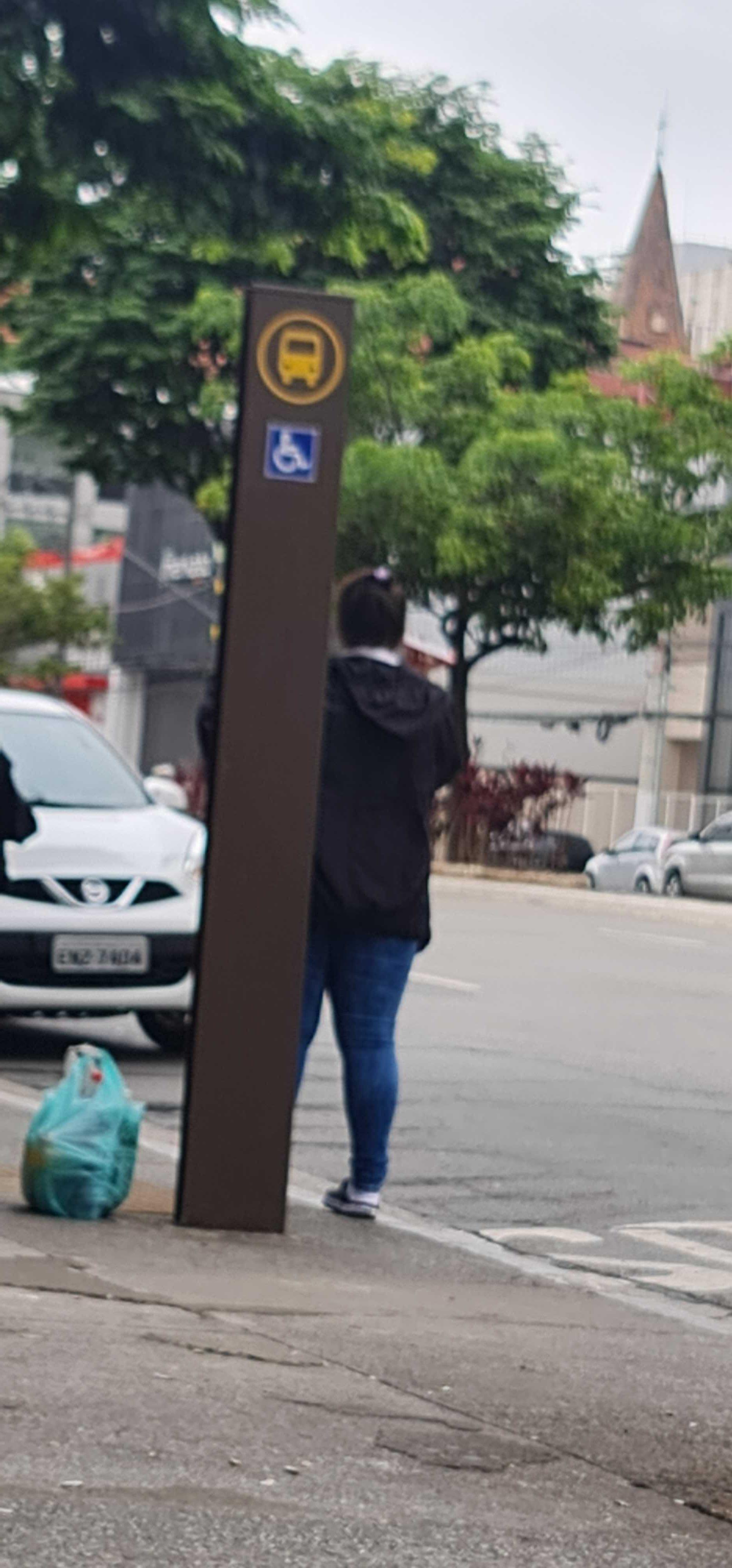 Taken by blayde S.
See R. Domingos de Morais, 2800 stop, Saúde, on the map
Public transit to R. Domingos de Morais, 2800 stop in Saúde
Looking for directions to R. Domingos de Morais, 2800 in Saúde, Brazil?
Download the Moovit App to find the current schedule and step-by-step directions for Metro or Bus routes that pass through R. Domingos de Morais, 2800.
Looking for the nearest stops closest to R. Domingos de Morais, 2800 ? Check out this list of closest stops to your destination: R. Pe. Machado; Terminal Metrô Santa Cruz; Metrô Santa Cruz B/C; Rua Loefgreen; R. Tte. Gomes Ribeiro; Hospital São Paulo; R. Afonso Celso; R. Loefgreen; Machado Bittencourt B/C; R. Primeiro de Janeiro; Santa Cruz; Chácara Klabin.
Bus: 502J-10, 5290-10, 675L-10, 875A-10, 577T-10, 6338-10, 875C-1, 857A-10, 875C-10, 574A-10, 574A-21, N604-11, 5106-10.Metro: LINHA 1, LINHA 5, LINHA 2.
We make riding on public transit to R. Domingos de Morais, 2800 easy, which is why over 1.7 billion users, including users in Saúde trust Moovit as the best app for public transit.
Use the app to navigate to popular places including to the airport, hospital, stadium, grocery store, mall, coffee shop, school, college, and university.
The first line to this stop is N604-11, at 3:26 AM, and the last line is N604-11 at 2:56 AM.
2740 Rua Domingo De Moraes, São Paulo, Brazil
This stop serves SPTrans’s lines
- R. Pe. Machado, 43,
- Terminal Metrô Santa Cruz,
- Metrô Santa Cruz B/C,
- Rua Loefgreen, 1057 - Metrô Santa Cruz,
- R. Tte. Gomes Ribeiro, 225,
- R. Afonso Celso, 871,
- R. Loefgreen, 1438,
- Machado Bittencourt B/C,
- R. Primeiro de Janeiro, 54
Bus stops near R. Domingos de Morais, 2800 stop
- Hospital São Paulo,
- Santa Cruz,
- Chácara Klabin
Metro stations near R. Domingos de Morais, 2800 station
- R. Verbo Divino, 371,
- Hospital Campo Limpo B/C,
- Inhomerim C/B,
- Estr. Egílio Vitorello, 31 - Jardim Maria Beatriz, Carapicuíba,
- Av. da Aclimação, 63,
- Av. Olavo Fontoura, 2222,
- Lapa,
- Av. Nordestina, 43,
- Av. Yervant Kissajikian, 2248,
- Av. Interlagos, 3501,
- Av. Ricardo Jafet, 1898,
- R. Voluntários da Pátria, 3744,
- Avenida Brigadeiro Luís Antônio, 4435,
- Av. Cruzeiro do Sul, 1949,
- Rod. Raposo Tavares - Km 31,
- C. V. João Jorge Saad, 624,
- Sp-031 Rod. Índio Tibiriçá, Km 37,5 Oeste - Jardim Clube de Campo, Santo André,
- Pedro Taques C/B,
- Avenida Professor Vicente Rao,
- Guarulhos-Cecap
Popular public transit stations in Saúde
Get around Saúde by public transit!
Traveling around Saúde has never been so easy. See step by step directions as you travel to any attraction, street or major public transit station. View bus and train schedules, arrival times, service alerts and detailed routes on a map, so you know exactly how to get to anywhere in Saúde.
When traveling to any destination around Saúde use Moovit's Live Directions with Get Off Notifications to know exactly where and how far to walk, how long to wait for your line, and how many stops are left. Moovit will alert you when it's time to get off — no need to constantly re-check whether yours is the next stop.
Wondering how to use public transit in Saúde or how to pay for public transit in Saúde? Moovit public transit app can help you navigate your way with public transit easily, and at minimum cost. It includes public transit fees, ticket prices, and costs. Looking for a map of Saúde public transit lines? Moovit public transit app shows all public transit maps in Saúde with all Bus, Train, Metro, Light Rail, Ferry, Gondola, Cable Car and Funicular routes and stops on an interactive map.
Sao Paulo Region has 8 transit type(s), including: Bus, Train, Metro, Light Rail, Ferry, Gondola, Cable Car and Funicular, operated by several transit agencies, including SPTrans, CPTM, ViaMobilidade, Aquático SP, SPTRANS, EMTU, ViaQuatro, Auto Ônibus Moratense, GRU Airport (Aeroporto de Guarulhos), Auto Viação Urubupungá (Cajamar), Viação Cometa, Auto Viação Urubupungá (Osasco), Viação Ultra / Rápido Brasil, Auto Viação Urubupungá (Santana de Parnaíba) and Expresso Luxo