R. Estado de Pernambuco, 451 stop - Thursday schedule
| Line | Direction | Time |
|---|---|---|
| 3053-10 | Metrô Belém | 4:00 AM |
| 3053-10 | Metrô Belém | 4:10 AM |
| 3053-10 | Metrô Belém | 4:20 AM |
| 3053-10 | Metrô Belém | 4:30 AM |
| 3053-10 | Metrô Belém | 4:40 AM |
| 3053-10 | Metrô Belém | 4:50 AM |
| 3053-10 | Metrô Belém | 5:00 AM |
| 3053-10 | Metrô Belém | 5:06 AM |
| 3053-10 | Metrô Belém | 5:12 AM |
| 3053-10 | Metrô Belém | 5:18 AM |
| 3053-10 | Metrô Belém | 5:24 AM |
| 3053-10 | Metrô Belém | 5:30 AM |
| 3053-10 | Metrô Belém | 5:36 AM |
| 3053-10 | Metrô Belém | 5:42 AM |
| 3053-10 | Metrô Belém | 5:48 AM |
| 3053-10 | Metrô Belém | 5:54 AM |
| 3053-10 | Metrô Belém | 6:00 AM |
| 3053-10 | Metrô Belém | 6:04 AM |
| 3053-10 | Metrô Belém | 6:08 AM |
| 3053-10 | Metrô Belém | 6:12 AM |
| 3053-10 | Metrô Belém | 6:17 AM |
| 3053-10 | Metrô Belém | 6:20 AM |
| 3053-10 | Metrô Belém | 6:24 AM |
| 3053-10 | Metrô Belém | 6:28 AM |
| 3053-10 | Metrô Belém | 6:33 AM |
Directions to R. Estado de Pernambuco, 451 stop (São Mateus) with public transit
The following transit lines have routes that pass near R. Estado de Pernambuco, 451
 Bus: 087, 2290-10, 3053-10, 407J-10, 342M-10.
- Metro: LINHA 15.
How to get to R. Estado de Pernambuco, 451 stop by bus?
Click on the bus route to see step by step directions with maps, line arrival times and updated time schedules.
How to get to R. Estado de Pernambuco, 451 stop by metro?
Click on the metro route to see step by step directions with maps, line arrival times and updated time schedules.
Bus stops near R. Estado de Pernambuco, 451 stop in São Mateus
- R. Estado de Pernambuco, 477, 1 min walk,
- Av. Rio das Pedras, 4117 - Jardim Egle, São Paulo, 6 min walk,
- Av. Rio das Pedras, 3858 - Cidade Centenário, São Paulo, 7 min walk,
- Avenida Piranguçu , 214, 9 min walk,
Metro stations near R. Estado de Pernambuco, 451 station in São Mateus
- Jardim Planalto, 20 min walk,
Bus lines to R. Estado de Pernambuco, 451 stop in São Mateus
- 3053-10, Jd. Itápolis,
- 342M-10, Terminal São Mateus - Terminal Penha,
- N404-11, Terminal São Mateus - Terminal Penha,
- 407F-10, Terminal São Mateus - Metrô Belém,
- 407J-10, Jardim Soares - Metrô Tatuapé,
- N434-11, Terminal Vila Carrão - Jardim Iv Centenário (Circular),
- 573T-10, Terminal Sapopemba - Metrô Carrão,
- 573T-31, Terminal Sapopemba - Metrô Carrão,
- 2290-10, Terminal São Mateus - Terminal Parque Dom Pedro Ii,
- 2290-21, São Mateus - Terminal Parque Dom Pedro Ii,
- 3023-10, Shopping Aricanduva - Parque São Rafael,
- 4002-10, Guaianases - Terminal Vila Carrão,
- 4008-10, Jardim Cibele - Terminal Vila Carrão,
- 4010-10, Jardim Nossa Senhora Do Carmo - Terminal Vila Carrão,
- 4014-10, Jardim Vila Carrão - Terminal Vila Carrão,
- 4030-10, Fazenda Da Juta - Shopping Aricanduva,
- 087, Santo Andre (Terminal Metropolitano Santo Andre-leste) - Sao Paulo (Metro Itaquera),
- 262, Santo Andre (Terminal Metropolitano Santo Andre Leste) - Sao Paulo (Artur Alvim),
- 102, Sao Caetano do Sul (Bairro Fundacao),
- 364A-10, Hospital Ipiranga - Shopping Aricanduva,
What are the closest stations to R. Estado de Pernambuco, 451?
The closest stations to R. Estado de Pernambuco, 451 are:
- R. Estado de Pernambuco, 477 stop is 38 meters away, 1 min walk.
- Av. Rio das Pedras, 4117 - Jardim Egle, São Paulo stop is 412 meters away, 6 min walk.
- Av. Rio das Pedras, 3858 - Cidade Centenário, São Paulo stop is 535 meters away, 7 min walk.
- Avenida Piranguçu , 214 stop is 673 meters away, 9 min walk.
- Jardim Planalto station is 1526 meters away, 20 min walk.
Which bus lines stop near R. Estado de Pernambuco, 451?
These bus lines stop near R. Estado de Pernambuco, 451: 087, 2290-10, 3053-10, 407J-10.
Which metro line stops near R. Estado de Pernambuco, 451?
LINHA 15 (São Mateus)
What’s the nearest metro station to R. Estado de Pernambuco, 451 in São Mateus?
The nearest metro station to R. Estado de Pernambuco, 451 in São Mateus is Jardim Planalto. It’s a 20 min walk away.
What’s the nearest bus station to R. Estado de Pernambuco, 451 in São Mateus?
The nearest bus station to R. Estado de Pernambuco, 451 in São Mateus is R. Estado de Pernambuco, 477. It’s a 1 min walk away.
What time is the first metro to R. Estado de Pernambuco, 451 in São Mateus?
The LINHA 15 is the first metro that goes to R. Estado de Pernambuco, 451 in São Mateus. It stops nearby at 4:40 AM.
What time is the last metro to R. Estado de Pernambuco, 451 in São Mateus?
The LINHA 15 is the last metro that goes to R. Estado de Pernambuco, 451 in São Mateus. It stops nearby at 12:33 AM.
What time is the first bus to R. Estado de Pernambuco, 451 in São Mateus?
The N434-11 is the first bus that goes to R. Estado de Pernambuco, 451 in São Mateus. It stops nearby at 3:18 AM.
What time is the last bus to R. Estado de Pernambuco, 451 in São Mateus?
The N434-11 is the last bus that goes to R. Estado de Pernambuco, 451 in São Mateus. It stops nearby at 3:50 AM.
R. Estado de Pernambuco, 451 station
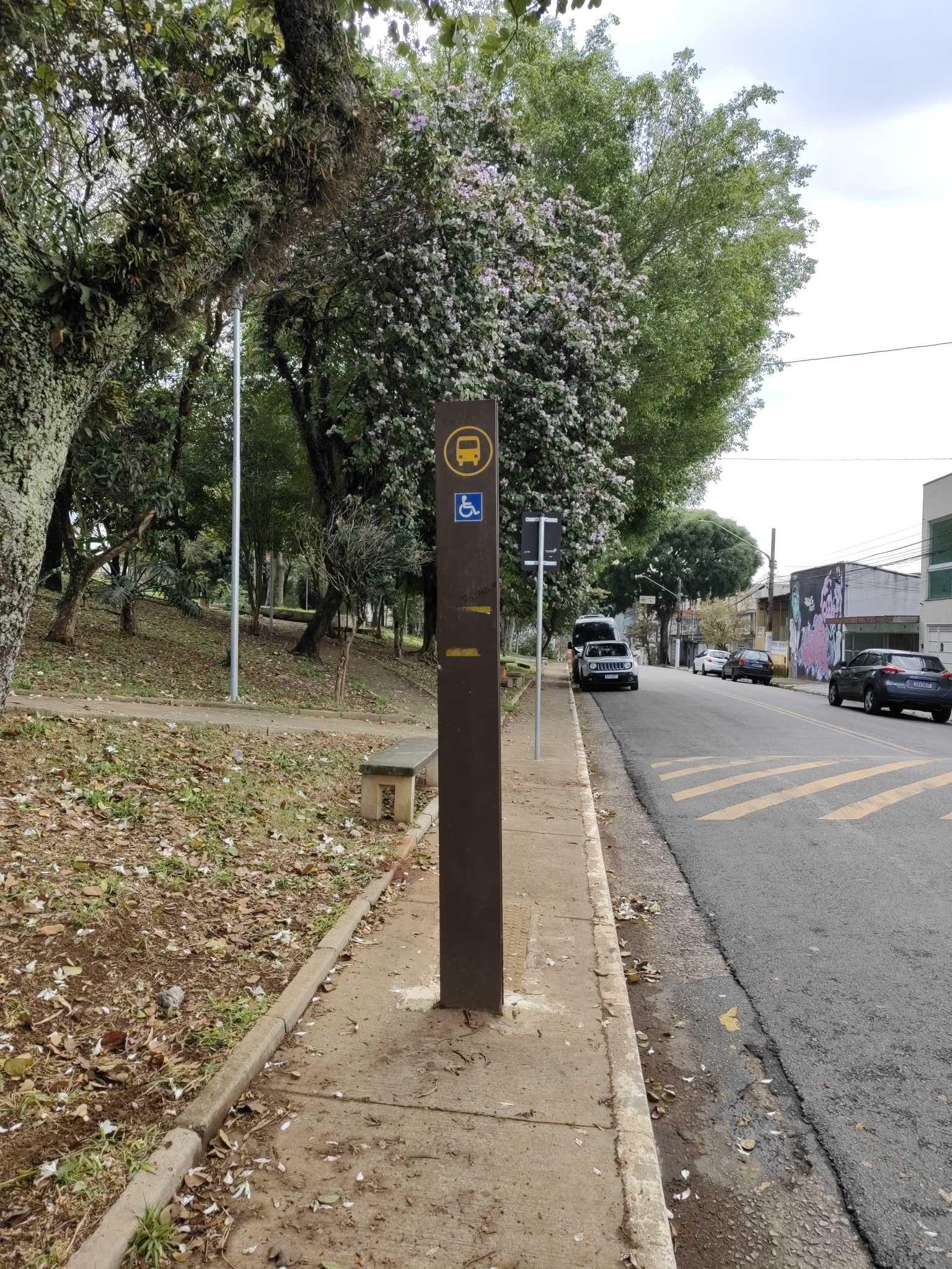 Taken by Anonymous
See R. Estado de Pernambuco, 451 stop, São Mateus, on the map
Public transit to R. Estado de Pernambuco, 451 stop in São Mateus
Looking for directions to R. Estado de Pernambuco, 451 in São Mateus, Brazil?
Download the Moovit App to find the current schedule and step-by-step directions for Bus or Metro routes that pass through R. Estado de Pernambuco, 451.
Looking for the nearest stops closest to R. Estado de Pernambuco, 451 ? Check out this list of closest stops to your destination: R. Estado de Pernambuco; Av. Rio das Pedras; Av. Rio das Pedras; Avenida Piranguçu ; Jardim Planalto.
Bus: 087, 2290-10, 3053-10, 407J-10, 342M-10, N404-11, 407F-10, N434-11, 102, 364A-10, 407W-10, 507T-10.Metro: LINHA 15.
We make riding on public transit to R. Estado de Pernambuco, 451 easy, which is why over 1.7 billion users, including users in São Mateus trust Moovit as the best app for public transit.
Use the app to navigate to popular places including to the airport, hospital, stadium, grocery store, mall, coffee shop, school, college, and university.
The first line to this stop is 3053-10, at 4:00 AM, and the last line is 3053-10 at 12:00 AM.
1232 Rua Morada Nova De Minas, São Paulo, Brazil
This stop serves SPTrans’s lines
- R. Estado de Pernambuco, 477,
- Av. Rio das Pedras, 4117 - Jardim Egle, São Paulo,
- Av. Rio das Pedras, 3858 - Cidade Centenário, São Paulo,
- Avenida Piranguçu , 214
Bus stops near R. Estado de Pernambuco, 451 stop
- Jardim Planalto
Metro station near R. Estado de Pernambuco, 451 station
- R. João Amado Coutinho, 400,
- Marechal Deodoro B/C,
- São Bento,
- Rua do Manifesto 931,
- Avenida Almirante Delamare,
- SESC Pompéia C/B,
- Av. Prof. Gioia Martins, 140,
- Av. João Paulo Primeiro, 1110,
- Via de Acesso João de Góes, 2041-2065 - Jardim Alvorada - Jardim Alvorada, Jandira,
- R. Francisco Fanganiello, 127,
- Rodovia Raposo Tavares (Km 26/São Paulo),
- Rua Major Carlo Del Prete - Centro, São Caetano do Sul,
- Av. das Cerejeiras, 1335,
- Av. Sumaré,
- Marina Cintra C/B,
- Pf - Vila Belmiro,
- Parada Periperi (C/B),
- Av. Venturosa, 1409 - Jardim Cumbica, Guarulhos,
- Morumbi,
- R. Miguel Yunes, 500
Popular public transit stations in São Mateus
Get around São Mateus by public transit!
Traveling around São Mateus has never been so easy. See step by step directions as you travel to any attraction, street or major public transit station. View bus and train schedules, arrival times, service alerts and detailed routes on a map, so you know exactly how to get to anywhere in São Mateus.
When traveling to any destination around São Mateus use Moovit's Live Directions with Get Off Notifications to know exactly where and how far to walk, how long to wait for your line, and how many stops are left. Moovit will alert you when it's time to get off — no need to constantly re-check whether yours is the next stop.
Wondering how to use public transit in São Mateus or how to pay for public transit in São Mateus? Moovit public transit app can help you navigate your way with public transit easily, and at minimum cost. It includes public transit fees, ticket prices, and costs. Looking for a map of São Mateus public transit lines? Moovit public transit app shows all public transit maps in São Mateus with all Bus, Train, Metro, Light Rail, Ferry, Gondola, Cable Car and Funicular routes and stops on an interactive map.
Sao Paulo Region has 8 transit type(s), including: Bus, Train, Metro, Light Rail, Ferry, Gondola, Cable Car and Funicular, operated by several transit agencies, including SPTrans, CPTM, ViaMobilidade, Aquático SP, SPTRANS, EMTU, ViaQuatro, Auto Ônibus Moratense, GRU Airport (Aeroporto de Guarulhos), Auto Viação Urubupungá (Cajamar), Viação Cometa, Auto Viação Urubupungá (Osasco), Viação Ultra / Rápido Brasil, Auto Viação Urubupungá (Santana de Parnaíba) and Expresso Luxo