R. Estado do Amazonas, 691 stop - Wednesday schedule
| Line | Direction | Time |
|---|---|---|
| 507T-10 | Metrô Carrão | 4:15 AM |
| 507T-10 | Metrô Carrão | 4:27 AM |
| 507T-10 | Metrô Carrão | 4:39 AM |
| 507T-10 | Metrô Carrão | 4:51 AM |
| 507T-10 | Metrô Carrão | 5:03 AM |
| 507T-10 | Metrô Carrão | 5:16 AM |
| 507T-10 | Metrô Carrão | 5:26 AM |
| 507T-10 | Metrô Carrão | 5:36 AM |
| 507T-10 | Metrô Carrão | 5:44 AM |
| 507T-10 | Metrô Carrão | 5:51 AM |
| 507T-10 | Metrô Carrão | 5:58 AM |
| 507T-10 | Metrô Carrão | 6:04 AM |
| 507T-10 | Metrô Carrão | 6:10 AM |
| 507T-10 | Metrô Carrão | 6:16 AM |
| 507T-10 | Metrô Carrão | 6:22 AM |
| 507T-10 | Metrô Carrão | 6:28 AM |
| 507T-10 | Metrô Carrão | 6:34 AM |
| 507T-10 | Metrô Carrão | 6:40 AM |
| 507T-10 | Metrô Carrão | 6:46 AM |
| 507T-10 | Metrô Carrão | 6:51 AM |
| 507T-10 | Metrô Carrão | 6:57 AM |
| 507T-10 | Metrô Carrão | 7:04 AM |
| 507T-10 | Metrô Carrão | 7:12 AM |
| 507T-10 | Metrô Carrão | 7:21 AM |
| 507T-10 | Metrô Carrão | 7:28 AM |
Directions to R. Estado do Amazonas, 691 stop (São Mateus) with public transit
The following transit lines have routes that pass near R. Estado do Amazonas, 691
 Bus: 507T-10, 3029-10, 364A-10, 407W-10, N434-11.
- Metro: LINHA 15.
How to get to R. Estado do Amazonas, 691 stop by bus?
Click on the bus route to see step by step directions with maps, line arrival times and updated time schedules.
How to get to R. Estado do Amazonas, 691 stop by metro?
Click on the metro route to see step by step directions with maps, line arrival times and updated time schedules.
Bus stops near R. Estado do Amazonas, 691 stop in São Mateus
- R. Estado do Amazonas, 464, 3 min walk,
- R. Rufino Fernandes Inivarri, 69, 4 min walk,
- Av. Piranguçu, 69 - Jardim Imperador (Zona Leste), São Paulo, 5 min walk,
Metro stations near R. Estado do Amazonas, 691 station in São Mateus
- Vila União, 26 min walk,
Bus lines to R. Estado do Amazonas, 691 stop in São Mateus
- 507T-10, Metrô Carrão,
- 3029-10, Metrô Tatuapé,
- 364A-10, Shop. Aricanduva,
- 407W-10, Metrô Carrão,
- N434-11, Jd. IV Centenário,
- 087, Santo Andre (Terminal Metropolitano Santo Andre-Leste),
- 102, Sao Paulo (Iv Centenario),
- 262, Sao Paulo (Artur Alvim),
What are the closest stations to R. Estado do Amazonas, 691?
The closest stations to R. Estado do Amazonas, 691 are:
- R. Estado do Amazonas, 464 stop is 202 meters away, 3 min walk.
- R. Rufino Fernandes Inivarri, 69 stop is 262 meters away, 4 min walk.
- Av. Piranguçu, 69 - Jardim Imperador (Zona Leste), São Paulo stop is 353 meters away, 5 min walk.
- Vila União station is 2029 meters away, 26 min walk.
Which bus line stops near R. Estado do Amazonas, 691?
507T-10 (Term. Sapopemba)
Which metro line stops near R. Estado do Amazonas, 691?
LINHA 15 (São Mateus)
What’s the nearest metro station to R. Estado do Amazonas, 691 in São Mateus?
The nearest metro station to R. Estado do Amazonas, 691 in São Mateus is Vila União. It’s a 26 min walk away.
What’s the nearest bus station to R. Estado do Amazonas, 691 in São Mateus?
The nearest bus station to R. Estado do Amazonas, 691 in São Mateus is R. Estado do Amazonas, 464. It’s a 3 min walk away.
What time is the first metro to R. Estado do Amazonas, 691 in São Mateus?
The LINHA 15 is the first metro that goes to R. Estado do Amazonas, 691 in São Mateus. It stops nearby at 4:42 AM.
What time is the last metro to R. Estado do Amazonas, 691 in São Mateus?
The LINHA 15 is the last metro that goes to R. Estado do Amazonas, 691 in São Mateus. It stops nearby at 12:26 AM.
What time is the first bus to R. Estado do Amazonas, 691 in São Mateus?
The N434-11 is the first bus that goes to R. Estado do Amazonas, 691 in São Mateus. It stops nearby at 3:17 AM.
What time is the last bus to R. Estado do Amazonas, 691 in São Mateus?
The N434-11 is the last bus that goes to R. Estado do Amazonas, 691 in São Mateus. It stops nearby at 4:01 AM.
R. Estado do Amazonas, 691 station
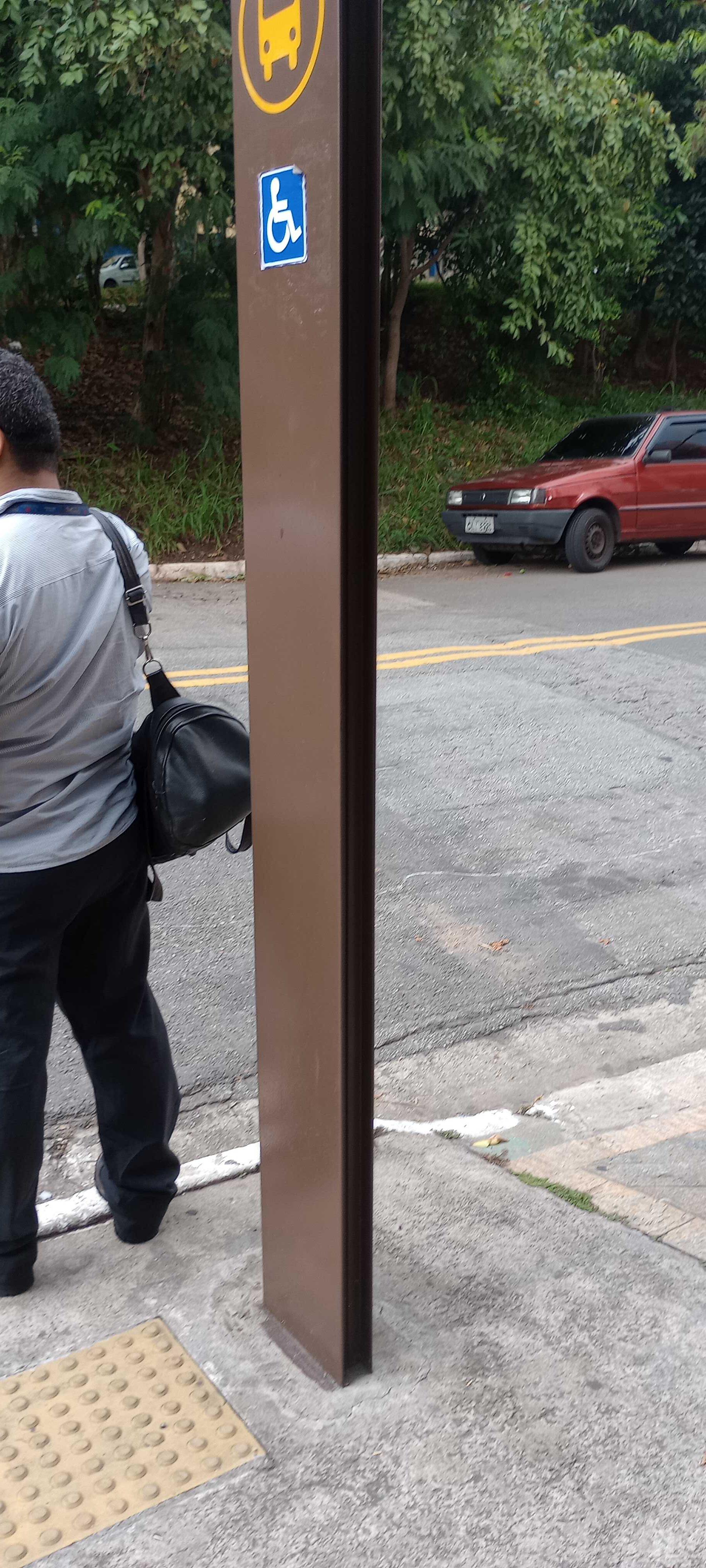 Taken by Anonymous
See R. Estado do Amazonas, 691 stop, São Mateus, on the map
Public transit to R. Estado do Amazonas, 691 stop in São Mateus
Looking for directions to R. Estado do Amazonas, 691 in São Mateus, Brazil?
Download the Moovit App to find the current schedule and step-by-step directions for Bus or Metro routes that pass through R. Estado do Amazonas, 691.
Looking for the nearest stops closest to R. Estado do Amazonas, 691 ? Check out this list of closest stops to your destination: R. Estado do Amazonas; R. Rufino Fernandes Inivarri; Av. Piranguçu; Vila União.
Bus: 507T-10, 3029-10, 364A-10, 407W-10, N434-11, 087, 102.Metro: LINHA 15.
We make riding on public transit to R. Estado do Amazonas, 691 easy, which is why over 1.7 billion users, including users in São Mateus trust Moovit as the best app for public transit.
Use the app to navigate to popular places including to the airport, hospital, stadium, grocery store, mall, coffee shop, school, college, and university.
The first line to this stop is 507T-10, at 4:15 AM, and the last line is 507T-10 at 11:55 PM.
29 Rua Chale, São Paulo, Brazil
This stop serves SPTrans’s lines
- R. Estado do Amazonas, 464,
- R. Rufino Fernandes Inivarri, 69,
- Av. Piranguçu, 69 - Jardim Imperador (Zona Leste), São Paulo
Bus stops near R. Estado do Amazonas, 691 stop
- Vila União
Metro station near R. Estado do Amazonas, 691 station
- Terminal Cidade Tiradentes,
- Av. Guido Caloi, 1164,
- Capuava,
- Av. Ricardo Jafet, 1550,
- Estação Metrô Pedro II,
- Rua Benedito De Carvalho Filho (N. 12 Escola),
- São Bento,
- Av. dos Funcionários Públicos, 379,
- Av. Pires do Rio, 3439,
- Mogi Das Cruzes,
- Avenida Presidente Costa E Silva, 144,
- Rua Doutor Washington Pedro Lanzzelotti 241,
- Av. Amador Bueno da Veiga, 195 | Centro Médico São Gabriel - Penha de França, São Paulo,
- Parada 1,
- Avenida Charles Goodyear, 65,
- Av. Moreira Guimarães, 510,
- Av. Giovanni Gronchi, 5819,
- Av. Irmã Dulce,
- Av. Paula Ferreira, 2427,
- Av. Washington Luiz, 1277
Popular public transit stations in São Mateus
Get around São Mateus by public transit!
Traveling around São Mateus has never been so easy. See step by step directions as you travel to any attraction, street or major public transit station. View bus and train schedules, arrival times, service alerts and detailed routes on a map, so you know exactly how to get to anywhere in São Mateus.
When traveling to any destination around São Mateus use Moovit's Live Directions with Get Off Notifications to know exactly where and how far to walk, how long to wait for your line, and how many stops are left. Moovit will alert you when it's time to get off — no need to constantly re-check whether yours is the next stop.
Wondering how to use public transit in São Mateus or how to pay for public transit in São Mateus? Moovit public transit app can help you navigate your way with public transit easily, and at minimum cost. It includes public transit fees, ticket prices, and costs. Looking for a map of São Mateus public transit lines? Moovit public transit app shows all public transit maps in São Mateus with all Bus, Train, Metro, Light Rail, Ferry, Gondola, Cable Car and Funicular routes and stops on an interactive map.
Sao Paulo Region has 8 transit type(s), including: Bus, Train, Metro, Light Rail, Ferry, Gondola, Cable Car and Funicular, operated by several transit agencies, including SPTrans, CPTM, ViaMobilidade, Aquático SP, SPTRANS, EMTU, ViaQuatro, Auto Ônibus Moratense, GRU Airport (Aeroporto de Guarulhos), Auto Viação Urubupungá (Cajamar), Viação Cometa, Auto Viação Urubupungá (Osasco), Viação Ultra / Rápido Brasil, Auto Viação Urubupungá (Santana de Parnaíba) and Expresso Luxo