R. Forte de São Caetano stop - Monday schedule
| Line | Direction | Time |
|---|---|---|
| N231-11 | Pedra Branca | 3:39 AM |
| 2013-10 | Cachoeirinha | 3:57 AM |
| 2013-10 | Cachoeirinha | 4:12 AM |
| 2013-10 | Cachoeirinha | 4:27 AM |
| 1760-10 | Shop. Center Norte | 4:33 AM |
| 2013-10 | Cachoeirinha | 4:35 AM |
| N231-11 | Pedra Branca | 4:39 AM |
| 2013-10 | Cachoeirinha | 4:43 AM |
| 2013-10 | Cachoeirinha | 4:51 AM |
| 1760-10 | Shop. Center Norte | 4:53 AM |
| 2013-10 | Cachoeirinha | 4:59 AM |
| 2013-10 | Cachoeirinha | 5:08 AM |
| 1760-10 | Shop. Center Norte | 5:14 AM |
| 2013-10 | Cachoeirinha | 5:14 AM |
| 2013-10 | Cachoeirinha | 5:20 AM |
| 2013-10 | Cachoeirinha | 5:26 AM |
| 2013-10 | Cachoeirinha | 5:32 AM |
| 1760-10 | Shop. Center Norte | 5:34 AM |
| 2013-10 | Cachoeirinha | 5:38 AM |
| 2013-10 | Cachoeirinha | 5:43 AM |
| 2013-10 | Cachoeirinha | 5:48 AM |
| 2013-10 | Cachoeirinha | 5:53 AM |
| 1760-10 | Shop. Center Norte | 5:54 AM |
| 2013-10 | Cachoeirinha | 5:58 AM |
| 2013-10 | Cachoeirinha | 6:03 AM |
Directions to R. Forte de São Caetano stop (Cachoeirinha) with public transit
The following transit lines have routes that pass near R. Forte de São Caetano
 Bus: 148L-10, 1760-10, 2013-10, N231-11, N236-11.
How to get to R. Forte de São Caetano stop by bus?
Click on the bus route to see step by step directions with maps, line arrival times and updated time schedules.
Bus stops near R. Forte de São Caetano stop in Cachoeirinha
- R. Forte de São Caetano, 1 min walk,
- R. Palmas de São Moisés, 320, 3 min walk,
- Av. Mariana Caligiori Ronchetti, 792, 4 min walk,
Bus lines to R. Forte de São Caetano stop in Cachoeirinha
- 1760-10, Shop. Center Norte,
- 2013-10, Cachoeirinha,
- N231-11, Pedra Branca,
- 148L-10, Lapa,
- N236-11, Jd. Antártica,
- 1742-10, Metrô Santana,
- 1758-10, Metrô Santana,
What are the closest stations to R. Forte de São Caetano?
The closest stations to R. Forte de São Caetano are:
- R. Forte de São Caetano stop is 36 meters away, 1 min walk.
- R. Palmas de São Moisés, 320 stop is 174 meters away, 3 min walk.
- Av. Mariana Caligiori Ronchetti, 792 stop is 282 meters away, 4 min walk.
Which bus lines stop near R. Forte de São Caetano?
These bus lines stop near R. Forte de São Caetano: 148L-10, 1760-10.
What’s the nearest bus station to R. Forte de São Caetano in Cachoeirinha?
The nearest bus station to R. Forte de São Caetano in Cachoeirinha is R. Forte de São Caetano. It’s a 1 min walk away.
What time is the first bus to R. Forte de São Caetano in Cachoeirinha?
The N236-11 is the first bus that goes to R. Forte de São Caetano in Cachoeirinha. It stops nearby at 3:31 AM.
What time is the last bus to R. Forte de São Caetano in Cachoeirinha?
The N231-11 is the last bus that goes to R. Forte de São Caetano in Cachoeirinha. It stops nearby at 2:40 AM.
R. Forte de São Caetano station
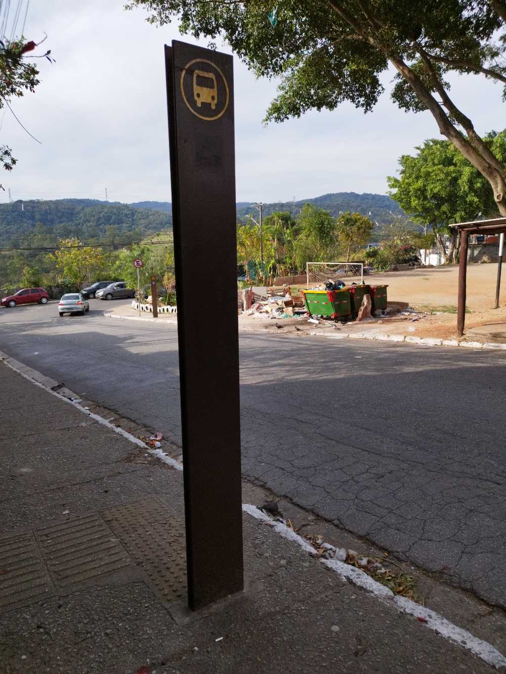 Taken by Anonymous
See R. Forte de São Caetano stop, Cachoeirinha, on the map
Public transit to R. Forte de São Caetano stop in Cachoeirinha
Looking for directions to R. Forte de São Caetano in Cachoeirinha, Brazil?
Download the Moovit App to find the current schedule and step-by-step directions for Bus or Metro routes that pass through R. Forte de São Caetano.
Looking for the nearest stops closest to R. Forte de São Caetano ? Check out this list of closest stops to your destination: R. Forte de São Caetano; R. Palmas de São Moisés; Av. Mariana Caligiori Ronchetti.
Bus: 148L-10, 1760-10, 2013-10, N231-11, N236-11, 1742-10, 1758-10.
We make riding on public transit to R. Forte de São Caetano easy, which is why over 1.7 billion users, including users in Cachoeirinha trust Moovit as the best app for public transit.
Use the app to navigate to popular places including to the airport, hospital, stadium, grocery store, mall, coffee shop, school, college, and university.
The first line to this stop is N231-11, at 3:39 AM, and the last line is N231-11 at 2:39 AM.
This stop serves SPTrans’s lines
- R. Forte de São Caetano,
- R. Palmas de São Moisés, 320,
- Av. Mariana Caligiori Ronchetti, 792
Bus stops near R. Forte de São Caetano stop
- Campo Limpo,
- Avenida Paula Ferreira, 295,
- Via de Acesso João de Góes, 2300 - Jardim Alvorada Jandira,
- Vila Clarice,
- Av. Prof. Alfonso Bovero, 477,
- Spm-330 D Rodovia Anhanguera, Km 24,7 Norte,
- Capão Redondo,
- Av. dos Metalúrgicos, 1797,
- C. V. João Jorge Saad, 624,
- Av. do Anastácio, 2421,
- Parada 3 - Metrô Tatuapé,
- Av. das Nações Unidas, 11633,
- Avenida 23 De Maio 412,
- Avenida Prefeito Carlos Ferreira Lopes (Extra),
- R. Guabiroba de Minas, 27,
- Francisco Morato,
- R. Maria Paula, 53,
- Av. Ragueb Chohfi, 1296,
- Av. Dos Eucaliptos, 740 • Metrô Eucaliptos,
- Jardim São Paulo-Ayrton Senna
Popular public transit stations in Cachoeirinha
Get around Cachoeirinha by public transit!
Traveling around Cachoeirinha has never been so easy. See step by step directions as you travel to any attraction, street or major public transit station. View bus and train schedules, arrival times, service alerts and detailed routes on a map, so you know exactly how to get to anywhere in Cachoeirinha.
When traveling to any destination around Cachoeirinha use Moovit's Live Directions with Get Off Notifications to know exactly where and how far to walk, how long to wait for your line, and how many stops are left. Moovit will alert you when it's time to get off — no need to constantly re-check whether yours is the next stop.
Wondering how to use public transit in Cachoeirinha or how to pay for public transit in Cachoeirinha? Moovit public transit app can help you navigate your way with public transit easily, and at minimum cost. It includes public transit fees, ticket prices, and costs. Looking for a map of Cachoeirinha public transit lines? Moovit public transit app shows all public transit maps in Cachoeirinha with all Bus, Train, Metro, Light Rail, Ferry, Gondola, Cable Car and Funicular routes and stops on an interactive map.
Sao Paulo Region has 8 transit type(s), including: Bus, Train, Metro, Light Rail, Ferry, Gondola, Cable Car and Funicular, operated by several transit agencies, including SPTrans, CPTM, ViaMobilidade, Aquático SP, SPTRANS, EMTU, ViaQuatro, Auto Ônibus Moratense, GRU Airport (Aeroporto de Guarulhos), Auto Viação Urubupungá (Cajamar), Viação Cometa, Auto Viação Urubupungá (Osasco), Viação Ultra / Rápido Brasil, Auto Viação Urubupungá (Santana de Parnaíba) and Expresso Luxo