R. Forte do Rio Branco, 238 stop - Saturday schedule
| Line | Direction | Time |
|---|---|---|
| 407E-10 | Jd. Sto. André | 6:05 AM |
| 407E-10 | Jd. Sto. André | 6:30 AM |
| 407E-10 | Jd. Sto. André | 7:00 AM |
| 407E-10 | Jd. Sto. André | 7:25 AM |
| 407E-10 | Jd. Sto. André | 7:51 AM |
| 407E-10 | Jd. Sto. André | 8:18 AM |
| 407E-10 | Jd. Sto. André | 8:33 AM |
| 407E-10 | Jd. Sto. André | 8:48 AM |
| 407E-10 | Jd. Sto. André | 9:03 AM |
| 407E-10 | Jd. Sto. André | 9:18 AM |
| 407E-10 | Jd. Sto. André | 9:38 AM |
| 407E-10 | Jd. Sto. André | 9:53 AM |
| 407E-10 | Jd. Sto. André | 10:10 AM |
| 407E-10 | Jd. Sto. André | 10:23 AM |
| 407E-10 | Jd. Sto. André | 10:40 AM |
| 407E-10 | Jd. Sto. André | 10:56 AM |
| 407E-10 | Jd. Sto. André | 11:15 AM |
| 407E-10 | Jd. Sto. André | 11:30 AM |
| 407E-10 | Jd. Sto. André | 11:45 AM |
| 407E-10 | Jd. Sto. André | 12:00 PM |
| 407E-10 | Jd. Sto. André | 12:15 PM |
| 407E-10 | Jd. Sto. André | 12:35 PM |
| 407E-10 | Jd. Sto. André | 12:55 PM |
| 407E-10 | Jd. Sto. André | 1:15 PM |
| 407E-10 | Jd. Sto. André | 1:35 PM |
Directions to R. Forte do Rio Branco, 238 stop (São Mateus) with public transit
The following transit lines have routes that pass near R. Forte do Rio Branco, 238
 Bus: 3054-10, 4014-10, 4056-10, 407E-10, 3773-10.
- Metro: LINHA 15.
How to get to R. Forte do Rio Branco, 238 stop by bus?
Click on the bus route to see step by step directions with maps, line arrival times and updated time schedules.
How to get to R. Forte do Rio Branco, 238 stop by metro?
Click on the metro route to see step by step directions with maps, line arrival times and updated time schedules.
Bus stops near R. Forte do Rio Branco, 238 stop in São Mateus
- R. Forte da Ribeira, 300, 1 min walk,
- R. Forte do Rio Branco, 161, 5 min walk,
- R. Cadencia, 326, 5 min walk,
Metro stations near R. Forte do Rio Branco, 238 station in São Mateus
- Jardim Colonial, 39 min walk,
Bus lines to R. Forte do Rio Branco, 238 stop in São Mateus
- 4014-10, Term. Vl. Carrão,
- 407E-10, Metrô Carrão,
- 3773-10, Metrô Carrão,
- 4056-10, Term. São Mateus,
What are the closest stations to R. Forte do Rio Branco, 238?
The closest stations to R. Forte do Rio Branco, 238 are:
- R. Forte da Ribeira, 300 stop is 69 meters away, 1 min walk.
- R. Forte do Rio Branco, 161 stop is 316 meters away, 5 min walk.
- R. Cadencia, 326 stop is 370 meters away, 5 min walk.
- Jardim Colonial station is 3032 meters away, 39 min walk.
Which bus lines stop near R. Forte do Rio Branco, 238?
These bus lines stop near R. Forte do Rio Branco, 238: 3054-10, 4014-10, 4056-10, 407E-10.
Which metro line stops near R. Forte do Rio Branco, 238?
LINHA 15 (São Mateus)
What’s the nearest bus station to R. Forte do Rio Branco, 238 in São Mateus?
The nearest bus station to R. Forte do Rio Branco, 238 in São Mateus is R. Forte da Ribeira, 300. It’s a 1 min walk away.
What time is the first metro to R. Forte do Rio Branco, 238 in São Mateus?
The LINHA 15 is the first metro that goes to R. Forte do Rio Branco, 238 in São Mateus. It stops nearby at 4:40 AM.
What time is the last metro to R. Forte do Rio Branco, 238 in São Mateus?
The LINHA 15 is the last metro that goes to R. Forte do Rio Branco, 238 in São Mateus. It stops nearby at 12:33 AM.
What time is the first bus to R. Forte do Rio Branco, 238 in São Mateus?
The 3773-10 is the first bus that goes to R. Forte do Rio Branco, 238 in São Mateus. It stops nearby at 3:56 AM.
What time is the last bus to R. Forte do Rio Branco, 238 in São Mateus?
The 407E-10 is the last bus that goes to R. Forte do Rio Branco, 238 in São Mateus. It stops nearby at 1:56 AM.
R. Forte do Rio Branco, 238 station
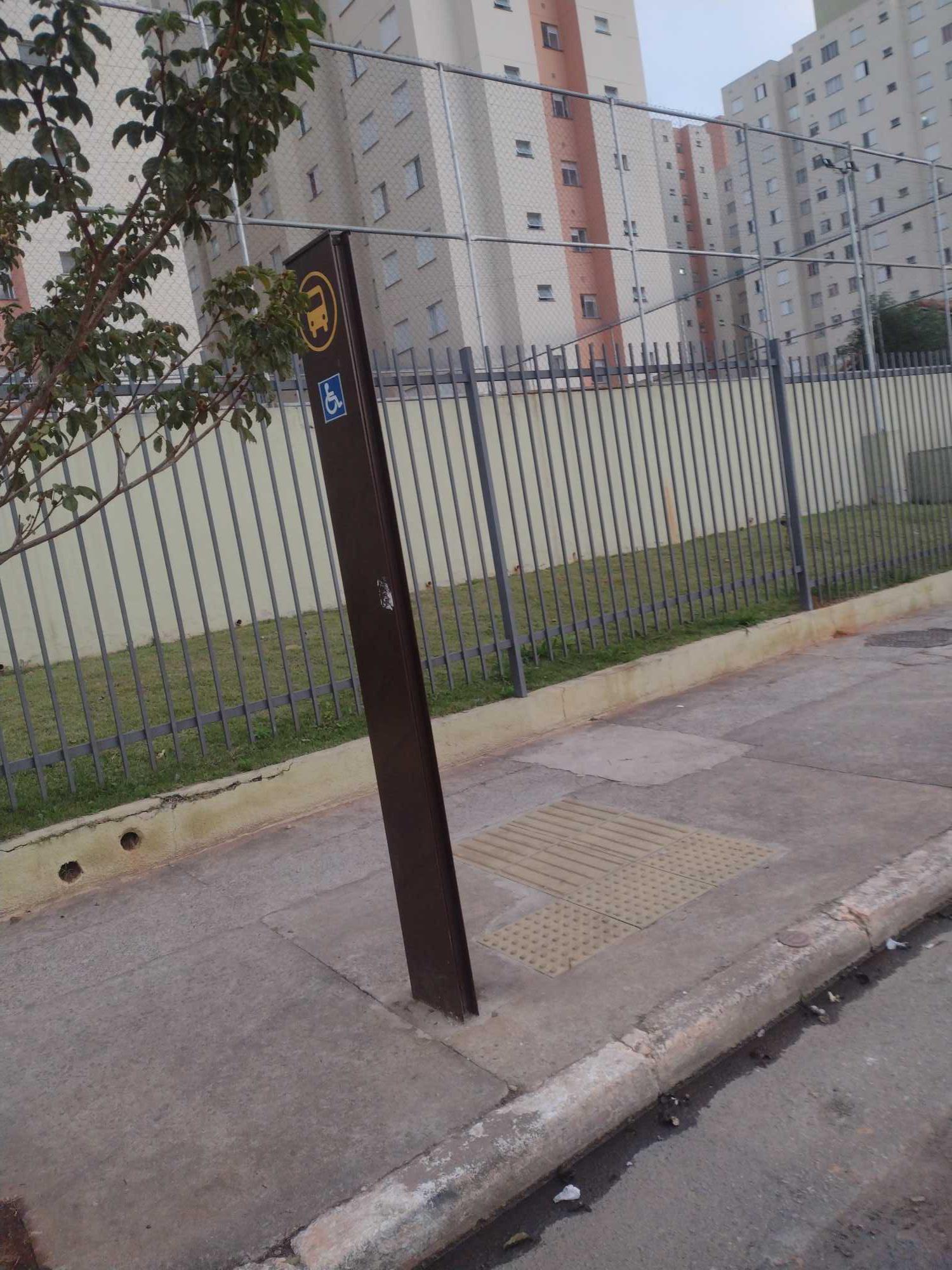 Taken by Anonymous
See R. Forte do Rio Branco, 238 stop, São Mateus, on the map
Public transit to R. Forte do Rio Branco, 238 stop in São Mateus
Looking for directions to R. Forte do Rio Branco, 238 in São Mateus, Brazil?
Download the Moovit App to find the current schedule and step-by-step directions for Bus, Metro or Train routes that pass through R. Forte do Rio Branco, 238.
Looking for the nearest stops closest to R. Forte do Rio Branco, 238 ? Check out this list of closest stops to your destination: R. Forte da Ribeira; R. Forte do Rio Branco; R. Cadencia; Jardim Colonial.
Bus: 3054-10, 4014-10, 4056-10, 407E-10, 3773-10.Metro: LINHA 15.
We make riding on public transit to R. Forte do Rio Branco, 238 easy, which is why over 1.7 billion users, including users in São Mateus trust Moovit as the best app for public transit.
Use the app to navigate to popular places including to the airport, hospital, stadium, grocery store, mall, coffee shop, school, college, and university.
The first line to this stop is 407E-10, at 6:05 AM, and the last line is 407E-10 at 1:50 AM.
300 Rua Forte Do Rio Branco, Mauá, Brazil
This stop serves SPTrans’s lines
- R. Forte da Ribeira, 300,
- R. Forte do Rio Branco, 161,
- R. Cadencia, 326
Bus stops near R. Forte do Rio Branco, 238 stop
- Jardim Colonial
Metro station near R. Forte do Rio Branco, 238 station
- Br-116 Rod. Régis Bittencourt, Km 294 Norte,
- Jardim Romano,
- Parada Matriz (São Bernardo),
- Estrada do M'Boi Mirim, 977,
- Avenida Guilherme Cotching, 915,
- R. Prof. José Horácio Meirelles Teixeira, 1041,
- Fradique Coutinho,
- Terminal Metrô Santana,
- Jundiapeba,
- Rua Doutor Bento Teobaldo Ferraz,
- Rua Nova Brasília, 383 - Jardim Dona Sinha, São Paulo,
- Av. Inajar de Souza, 1857,
- Av. Prestes Maia- 811,
- R. João Augusto Morais, 348,
- Av. Manuel Antônio Gonçalves, 820,
- Av. Maria Cursi, 1001,
- Av. Santos Dumont,
- R. Cap. Salomão, 27,
- Praça Rodrigues De Abreu (Estação Paraíso),
- Avenida Brigadeiro Faria Lima 2528
Popular public transit stations in São Mateus
Get around São Mateus by public transit!
Traveling around São Mateus has never been so easy. See step by step directions as you travel to any attraction, street or major public transit station. View bus and train schedules, arrival times, service alerts and detailed routes on a map, so you know exactly how to get to anywhere in São Mateus.
When traveling to any destination around São Mateus use Moovit's Live Directions with Get Off Notifications to know exactly where and how far to walk, how long to wait for your line, and how many stops are left. Moovit will alert you when it's time to get off — no need to constantly re-check whether yours is the next stop.
Wondering how to use public transit in São Mateus or how to pay for public transit in São Mateus? Moovit public transit app can help you navigate your way with public transit easily, and at minimum cost. It includes public transit fees, ticket prices, and costs. Looking for a map of São Mateus public transit lines? Moovit public transit app shows all public transit maps in São Mateus with all Bus, Train, Metro, Light Rail, Ferry, Gondola, Cable Car and Funicular routes and stops on an interactive map.
Sao Paulo Region has 8 transit type(s), including: Bus, Train, Metro, Light Rail, Ferry, Gondola, Cable Car and Funicular, operated by several transit agencies, including SPTrans, CPTM, ViaMobilidade, Aquático SP, SPTRANS, EMTU, ViaQuatro, Auto Ônibus Moratense, GRU Airport (Aeroporto de Guarulhos), Auto Viação Urubupungá (Cajamar), Viação Cometa, Auto Viação Urubupungá (Osasco), Viação Ultra / Rápido Brasil, Auto Viação Urubupungá (Santana de Parnaíba) and Expresso Luxo