R. Francisca Júlia, 28 stop - Monday schedule
| Line | Direction | Time |
|---|---|---|
| N236-11 | Jd. Antártica | 3:03 AM |
| N235-11 | Pedra Branca | 3:03 AM |
| N206-11 | Metrô Vl. Madalena | 3:04 AM |
| N236-11 | Jd. Antártica | 4:03 AM |
| N235-11 | Pedra Branca | 4:03 AM |
| N206-11 | Metrô Vl. Madalena | 4:04 AM |
| 1759-10 | Jd. Pery | 4:33 AM |
| 1757-10 | Metrô Santana | 5:01 AM |
| 1759-10 | Jd. Pery | 5:04 AM |
| 1758-10 | Jd. Antártica | 5:09 AM |
| 971M-10 | Vl. Penteado | 5:10 AM |
| 1756-10 | Pedra Branca | 5:19 AM |
| 1758-10 | Jd. Antártica | 5:24 AM |
| 1759-10 | Jd. Pery | 5:29 AM |
| 971M-10 | Vl. Penteado | 5:30 AM |
| 1757-10 | Metrô Santana | 5:33 AM |
| 1758-10 | Jd. Antártica | 5:36 AM |
| 1756-10 | Pedra Branca | 5:39 AM |
| 118C-10 | Jd. Pery Alto | 5:43 AM |
| 1742-10 | Jd. Antártica | 5:44 AM |
| 971M-10 | Vl. Penteado | 5:45 AM |
| 1758-10 | Jd. Antártica | 5:48 AM |
| 1759-10 | Jd. Pery | 5:49 AM |
| 971D-10 | Jd. Damasceno | 5:49 AM |
| 1757-10 | Metrô Santana | 5:58 AM |
Directions to R. Francisca Júlia, 28 stop (Santana) with public transit
The following transit lines have routes that pass near R. Francisca Júlia, 28
 Bus: 118C-10, 1759-10, 971D-10, N206-11, N235-11.
- Metro: LINHA 1.
How to get to R. Francisca Júlia, 28 stop by bus?
Click on the bus route to see step by step directions with maps, line arrival times and updated time schedules.
How to get to R. Francisca Júlia, 28 stop by metro?
Click on the metro route to see step by step directions with maps, line arrival times and updated time schedules.
Bus stops near R. Francisca Júlia, 28 stop in Santana
- Pça. Miguel Delgado, 138, 2 min walk,
- R. Voluntários da Pátria, 2741, 4 min walk,
- R. Perpetuo Júnior, 152, 5 min walk,
- Av. Cons. Moreira de Barros, 240, 6 min walk,
- R. Dr. Artur Guimarães, 137, 7 min walk,
- Rua Doutor Zuquim, 1480, 8 min walk,
Metro stations near R. Francisca Júlia, 28 station in Santana
- Santana, 33 min walk,
Bus lines to R. Francisca Júlia, 28 stop in Santana
- 118C-10, Jd. Pery Alto,
- N206-11, Metrô Santana,
- N235-11, Pedra Branca,
- N236-11, Jd. Antártica,
- 971M-10, Vl. Penteado,
- 971D-10, Jardim Damasceno - Shopping Center Norte,
- 1742-10, Jardim Antártica - Metrô Santana,
- 1756-10, Pedra Branca - Metrô Santana,
- 1757-10, Conjunto Dos Bancários - Metrô Santana (Circular),
- 1758-10, Jardim Antártica - Metrô Santana,
- 1759-10, Jardim Pery - Metrô Santana,
- 1775-10, Vila Albertina - Shopping Center Norte,
- 172U-10, Cemitério Parque Dos Pinheiros - Mooca,
- N238-11, Metrô Santana - Cemitério Parque Dos Pinheiros (Circular),
- N240-11, Metrô Santana - Cachoeira (Circular),
- N241-11, Metrô Santana - Vila Albertina (Circular),
- 1018-10, Vila Rosa - Metrô Santana,
- 1726-10, Cemitério Parque Dos Pinheiros - Metrô Santana,
- 1764-10, Jardim Corisco - Metrô Santana,
- 1771-10, Jardim Fontális - Metrô Santana,
What are the closest stations to R. Francisca Júlia, 28?
The closest stations to R. Francisca Júlia, 28 are:
- Pça. Miguel Delgado, 138 stop is 79 meters away, 2 min walk.
- R. Voluntários da Pátria, 2741 stop is 250 meters away, 4 min walk.
- R. Perpetuo Júnior, 152 stop is 385 meters away, 5 min walk.
- Av. Cons. Moreira de Barros, 240 stop is 426 meters away, 6 min walk.
- R. Dr. Artur Guimarães, 137 stop is 464 meters away, 7 min walk.
- Rua Doutor Zuquim, 1480 stop is 603 meters away, 8 min walk.
- Santana station is 2528 meters away, 33 min walk.
Which bus lines stop near R. Francisca Júlia, 28?
These bus lines stop near R. Francisca Júlia, 28: 118C-10, 1759-10, 971D-10.
Which metro line stops near R. Francisca Júlia, 28?
LINHA 1 (Tucuruvi)
What’s the nearest bus station to R. Francisca Júlia, 28 in Santana?
The nearest bus station to R. Francisca Júlia, 28 in Santana is Pça. Miguel Delgado, 138. It’s a 2 min walk away.
What time is the first metro to R. Francisca Júlia, 28 in Santana?
The LINHA 1 is the first metro that goes to R. Francisca Júlia, 28 in Santana. It stops nearby at 4:41 AM.
What time is the last metro to R. Francisca Júlia, 28 in Santana?
The LINHA 1 is the last metro that goes to R. Francisca Júlia, 28 in Santana. It stops nearby at 12:42 AM.
What time is the first bus to R. Francisca Júlia, 28 in Santana?
The N206-11 is the first bus that goes to R. Francisca Júlia, 28 in Santana. It stops nearby at 3:00 AM.
What time is the last bus to R. Francisca Júlia, 28 in Santana?
The N240-11 is the last bus that goes to R. Francisca Júlia, 28 in Santana. It stops nearby at 4:28 AM.
R. Francisca Júlia, 28 station
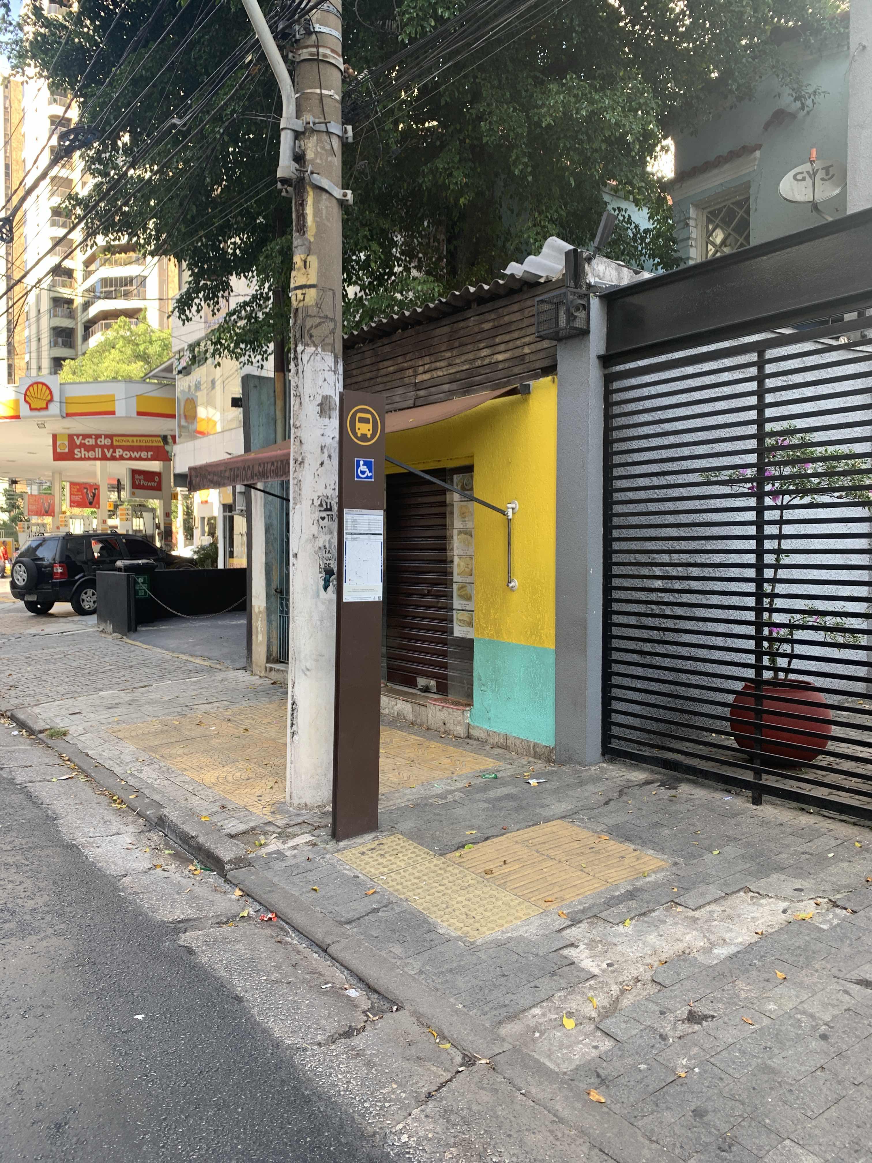 Taken by Anonymous
See R. Francisca Júlia, 28 stop, Santana, on the map
Public transit to R. Francisca Júlia, 28 stop in Santana
Looking for directions to R. Francisca Júlia, 28 in Santana, Brazil?
Download the Moovit App to find the current schedule and step-by-step directions for Bus, Metro or Train routes that pass through R. Francisca Júlia, 28.
Looking for the nearest stops closest to R. Francisca Júlia, 28 ? Check out this list of closest stops to your destination: Pça. Miguel Delgado; R. Voluntários da Pátria; R. Perpetuo Júnior; Av. Cons. Moreira de Barros; R. Dr. Artur Guimarães; Rua Doutor Zuquim; Santana.
Bus: 118C-10, 1759-10, 971D-10, N206-11, N235-11, N236-11, 971M-10, 1742-10, 1756-10, 1757-10, 1758-10, 172U-10, N238-11, N240-11, N241-11, 1018-10, 178T-10, 1743-10, 1744-10, 1760-10, 2030-10, 1773-10.Metro: LINHA 1.
We make riding on public transit to R. Francisca Júlia, 28 easy, which is why over 1.7 billion users, including users in Santana trust Moovit as the best app for public transit.
Use the app to navigate to popular places including to the airport, hospital, stadium, grocery store, mall, coffee shop, school, college, and university.
The first line to this stop is N236-11, at 3:03 AM, and the last line is N206-11 at 2:24 AM.
2865 Rua Voluntarios Da Patria, São Paulo, Brazil
This stop serves SPTrans’s lines
- Pça. Miguel Delgado, 138,
- R. Voluntários da Pátria, 2741,
- R. Perpetuo Júnior, 152,
- Av. Cons. Moreira de Barros, 240,
- R. Dr. Artur Guimarães, 137,
- Rua Doutor Zuquim, 1480
Bus stops near R. Francisca Júlia, 28 stop
- Santana
Metro station near R. Francisca Júlia, 28 station
- Parada São Carlos Do Pinhal,
- Av. Paula Ferreira, 2427,
- Av. Pires do Rio, 3439,
- Estrada Municipal Santo Angelo (Bar Do Cosme),
- Jabaquara,
- Largo do Arouche, 277a,
- Avenida Marginal do Csu 2340,
- Av. Eng. Caetano Alvares, 4528,
- Inhomerim C/B,
- Avenida Brigadeiro Luís Antônio , 4008,
- Sp-031 Rod. Índio Tibiriçá, Km 37,5 Oeste - Jardim Clube de Campo, Santo André,
- Av. Pres. Juscelino Kubitschek, 180,
- R. Voluntários da Pátria, 3566,
- Av. Nova Cantareira,
- Av. Interlagos,
- R. Lucília de Queiroz, 65,
- Av. Francisco Tranchesi, 554,
- Parada 1/2/3 - Concórdia,
- Av. Parada Pinto, 1380,
- Santa Rita
Popular public transit stations in Santana
Get around Santana by public transit!
Traveling around Santana has never been so easy. See step by step directions as you travel to any attraction, street or major public transit station. View bus and train schedules, arrival times, service alerts and detailed routes on a map, so you know exactly how to get to anywhere in Santana.
When traveling to any destination around Santana use Moovit's Live Directions with Get Off Notifications to know exactly where and how far to walk, how long to wait for your line, and how many stops are left. Moovit will alert you when it's time to get off — no need to constantly re-check whether yours is the next stop.
Wondering how to use public transit in Santana or how to pay for public transit in Santana? Moovit public transit app can help you navigate your way with public transit easily, and at minimum cost. It includes public transit fees, ticket prices, and costs. Looking for a map of Santana public transit lines? Moovit public transit app shows all public transit maps in Santana with all Bus, Train, Metro, Light Rail, Ferry, Gondola, Cable Car and Funicular routes and stops on an interactive map.
Sao Paulo Region has 8 transit type(s), including: Bus, Train, Metro, Light Rail, Ferry, Gondola, Cable Car and Funicular, operated by several transit agencies, including SPTrans, CPTM, ViaMobilidade, Aquático SP, SPTRANS, EMTU, ViaQuatro, Auto Ônibus Moratense, GRU Airport (Aeroporto de Guarulhos), Auto Viação Urubupungá (Cajamar), Viação Cometa, Auto Viação Urubupungá (Osasco), Viação Ultra / Rápido Brasil, Auto Viação Urubupungá (Santana de Parnaíba) and Expresso Luxo