R. Francisco Dias, 331 stop - Wednesday schedule
| Line | Direction | Time |
|---|---|---|
| 4717-10 | Metrô Saúde | 4:51 AM |
| 4717-10 | Metrô Saúde | 5:23 AM |
| 4717-10 | Metrô Saúde | 5:58 AM |
| 4717-10 | Metrô Saúde | 6:33 AM |
| 4717-10 | Metrô Saúde | 7:23 AM |
| 4717-10 | Metrô Saúde | 8:15 AM |
| 4717-10 | Metrô Saúde | 9:15 AM |
| 4717-10 | Metrô Saúde | 10:04 AM |
| 4717-10 | Metrô Saúde | 10:40 AM |
| 4717-10 | Metrô Saúde | 11:25 AM |
| 4717-10 | Metrô Saúde | 12:05 PM |
| 4717-10 | Metrô Saúde | 12:50 PM |
| 4717-10 | Metrô Saúde | 1:30 PM |
| 4717-10 | Metrô Saúde | 2:15 PM |
| 4717-10 | Metrô Saúde | 2:55 PM |
| 4717-10 | Metrô Saúde | 3:45 PM |
| 4717-10 | Metrô Saúde | 4:25 PM |
| 4717-10 | Metrô Saúde | 5:10 PM |
| 4717-10 | Metrô Saúde | 5:50 PM |
| 4717-10 | Metrô Saúde | 6:35 PM |
| 4717-10 | Metrô Saúde | 7:30 PM |
| 4717-10 | Metrô Saúde | 8:19 PM |
| 4717-10 | Metrô Saúde | 9:03 PM |
| 4717-10 | Metrô Saúde | 9:38 PM |
| 4717-10 | Metrô Saúde | 10:12 PM |
Directions to R. Francisco Dias, 331 stop (Cursino) with public transit
The following transit lines have routes that pass near R. Francisco Dias, 331
 Bus: 4716-10, 4725-10, 5021-10, 5108-10, 4717-10.
- Metro: LINHA 2, LINHA 1.
How to get to R. Francisco Dias, 331 stop by bus?
Click on the bus route to see step by step directions with maps, line arrival times and updated time schedules.
How to get to R. Francisco Dias, 331 stop by metro?
Click on the metro route to see step by step directions with maps, line arrival times and updated time schedules.
Bus stops near R. Francisco Dias, 331 stop in Cursino
- R. Francisco Dias, 155, 3 min walk,
- Avenida do Cursino 1252, 4 min walk,
Metro stations near R. Francisco Dias, 331 station in Cursino
- Saúde-Ultrafarma, 3 min walk,
- Santos-Imigrantes, 30 min walk,
Bus lines to R. Francisco Dias, 331 stop in Cursino
- 4717-10, Metrô Saúde,
- 475M-10, Jardim Da Saúde - Terminal Amaral Gurgel,
- N538-11, Terminal Sacomã - Jardim Celeste (Circular),
- 4114-10, Jardim Dom Saúde - Terminal Parque Dom Pedro Ii,
- 4716-10, Metrô Tamanduateí - Metrô Santa Cruz,
- 4718-10, Jardim Celeste - Metrô Santa Cruz (Circular),
- 4725-10, Vila Brasilina - Shopping Ibirapuera (Circular),
- 4727-10, Jardim Clímax - Metrô Praça Da Árvore,
- 5021-10, Água Funda - Terminal Sacomã,
- 5108-10, Jardim Celeste - Terminal Parque Dom Pedro Ii,
- 5108-21, Jardim Celeste - Metrô Alto Do Ipiranga (Circular),
- 236, Sao Paulo (Terminal Sacoma) - Diadema (Terminal Metropolitano Piraporinha),
What are the closest stations to R. Francisco Dias, 331?
The closest stations to R. Francisco Dias, 331 are:
- R. Francisco Dias, 155 stop is 190 meters away, 3 min walk.
- Saúde-Ultrafarma station is 203 meters away, 3 min walk.
- Avenida do Cursino 1252 stop is 248 meters away, 4 min walk.
- Santos-Imigrantes station is 2359 meters away, 30 min walk.
Which bus lines stop near R. Francisco Dias, 331?
These bus lines stop near R. Francisco Dias, 331: 4716-10, 4725-10, 5021-10, 5108-10.
Which metro line stops near R. Francisco Dias, 331?
LINHA 2 (Vila Prudente)
What’s the nearest metro station to R. Francisco Dias, 331 in Cursino?
The nearest metro station to R. Francisco Dias, 331 in Cursino is Saúde-Ultrafarma. It’s a 3 min walk away.
What’s the nearest bus station to R. Francisco Dias, 331 in Cursino?
The nearest bus station to R. Francisco Dias, 331 in Cursino is R. Francisco Dias, 155. It’s a 3 min walk away.
What time is the first metro to R. Francisco Dias, 331 in Cursino?
The LINHA 2 is the first metro that goes to R. Francisco Dias, 331 in Cursino. It stops nearby at 4:45 AM.
What time is the last metro to R. Francisco Dias, 331 in Cursino?
The LINHA 1 is the last metro that goes to R. Francisco Dias, 331 in Cursino. It stops nearby at 12:37 AM.
What time is the first bus to R. Francisco Dias, 331 in Cursino?
The N538-11 is the first bus that goes to R. Francisco Dias, 331 in Cursino. It stops nearby at 3:00 AM.
What time is the last bus to R. Francisco Dias, 331 in Cursino?
The N538-11 is the last bus that goes to R. Francisco Dias, 331 in Cursino. It stops nearby at 3:00 AM.
R. Francisco Dias, 331 station
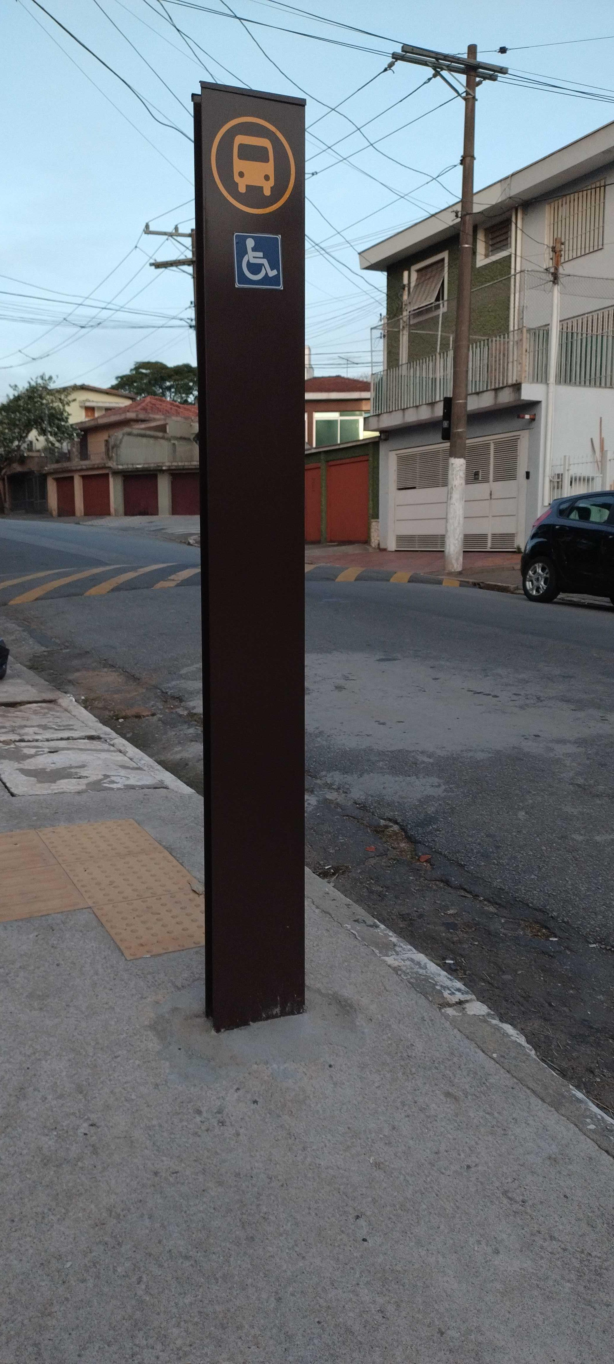 Taken by Anonymous
See R. Francisco Dias, 331 stop, Cursino, on the map
Public transit to R. Francisco Dias, 331 stop in Cursino
Looking for directions to R. Francisco Dias, 331 in Cursino, Brazil?
Download the Moovit App to find the current schedule and step-by-step directions for Bus or Metro routes that pass through R. Francisco Dias, 331.
Looking for the nearest stops closest to R. Francisco Dias, 331 ? Check out this list of closest stops to your destination: R. Francisco Dias; Saúde-Ultrafarma; Avenida do Cursino 1252; Santos-Imigrantes.
Bus: 4716-10, 4725-10, 5021-10, 5108-10, 4717-10, 475M-10, N538-11, 4114-10, 4718-10.Metro: LINHA 2, LINHA 1.
We make riding on public transit to R. Francisco Dias, 331 easy, which is why over 1.7 billion users, including users in Cursino trust Moovit as the best app for public transit.
Use the app to navigate to popular places including to the airport, hospital, stadium, grocery store, mall, coffee shop, school, college, and university.
The first line to this stop is 4717-10, at 4:51 AM, and the last line is 4717-10 at 12:36 AM.
338 Rua Francisco Dias, São Paulo, Brazil
This stop serves SPTrans’s lines
- R. Francisco Dias, 155,
- Avenida do Cursino 1252
Bus stops near R. Francisco Dias, 331 stop
- Saúde-Ultrafarma,
- Santos-Imigrantes
Metro stations near R. Francisco Dias, 331 station
- Borba Gato,
- Av. Esperantina, 1171,
- Parada 2,
- Av. República do Líbano, 501,
- Av. João Carlos da Silva Borges, 111,
- Av. Souza Ramos, 245,
- Av. Ultramarino,
- Av. Rodrigues Montemor, 297,
- Estrada Municipal Ettore Palma - Franco da Rocha,
- Pirituba,
- Rodovia Pedro Eroles (Condominio Montherey),
- R. Malmequer do Campo, 1007,
- Parada Ubs Alto Do Ipiranga,
- Avenida Quinze de Novembro 213,
- Avenida Itaberaba, 1803,
- Rua Brigadeiro Tobias - Ministerio Da Fazienda,
- Parque Ibirapuera,
- Osasco,
- R. Dr. Cesar Castiglioni Júnior, 230,
- Terminal Barra Funda Lado Sul
Popular public transit stations in Cursino
Get around Cursino by public transit!
Traveling around Cursino has never been so easy. See step by step directions as you travel to any attraction, street or major public transit station. View bus and train schedules, arrival times, service alerts and detailed routes on a map, so you know exactly how to get to anywhere in Cursino.
When traveling to any destination around Cursino use Moovit's Live Directions with Get Off Notifications to know exactly where and how far to walk, how long to wait for your line, and how many stops are left. Moovit will alert you when it's time to get off — no need to constantly re-check whether yours is the next stop.
Wondering how to use public transit in Cursino or how to pay for public transit in Cursino? Moovit public transit app can help you navigate your way with public transit easily, and at minimum cost. It includes public transit fees, ticket prices, and costs. Looking for a map of Cursino public transit lines? Moovit public transit app shows all public transit maps in Cursino with all Bus, Train, Metro, Light Rail, Ferry, Gondola, Cable Car and Funicular routes and stops on an interactive map.
Sao Paulo Region has 8 transit type(s), including: Bus, Train, Metro, Light Rail, Ferry, Gondola, Cable Car and Funicular, operated by several transit agencies, including SPTrans, CPTM, ViaMobilidade, Aquático SP, SPTRANS, EMTU, ViaQuatro, Auto Ônibus Moratense, GRU Airport (Aeroporto de Guarulhos), Auto Viação Urubupungá (Cajamar), Viação Cometa, Auto Viação Urubupungá (Osasco), Viação Ultra / Rápido Brasil, Auto Viação Urubupungá (Santana de Parnaíba) and Expresso Luxo