R. Ignácio Limas, 11 stop - Thursday schedule
| Line | Direction | Time |
|---|---|---|
| N740-11 | Jd. Riviera | 3:33 AM |
| 6028-10 | Term. Sto. Amaro | 4:08 AM |
| 6028-10 | Term. Sto. Amaro | 4:20 AM |
| 6006-10 | Shop. Interlagos | 4:30 AM |
| 6028-10 | Term. Sto. Amaro | 4:32 AM |
| N740-11 | Jd. Riviera | 4:33 AM |
| 6006-10 | Shop. Interlagos | 4:40 AM |
| 6028-10 | Term. Sto. Amaro | 4:44 AM |
| 6006-10 | Shop. Interlagos | 4:50 AM |
| 6028-10 | Term. Sto. Amaro | 4:56 AM |
| 6006-10 | Shop. Interlagos | 5:00 AM |
| 6028-10 | Term. Sto. Amaro | 5:08 AM |
| 6006-10 | Shop. Interlagos | 5:10 AM |
| 6028-10 | Term. Sto. Amaro | 5:17 AM |
| 6006-10 | Shop. Interlagos | 5:20 AM |
| 6028-10 | Term. Sto. Amaro | 5:25 AM |
| 6006-10 | Shop. Interlagos | 5:30 AM |
| 6028-10 | Term. Sto. Amaro | 5:34 AM |
| 6006-10 | Shop. Interlagos | 5:40 AM |
| 6028-10 | Term. Sto. Amaro | 5:42 AM |
| 6006-10 | Shop. Interlagos | 5:50 AM |
| 6028-10 | Term. Sto. Amaro | 5:51 AM |
| 6028-10 | Term. Sto. Amaro | 5:59 AM |
| 6006-10 | Shop. Interlagos | 6:00 AM |
| 6028-10 | Term. Sto. Amaro | 6:08 AM |
Directions to R. Ignácio Limas, 11 stop (Jardim Ângela) with public transit
The following transit lines have routes that pass near R. Ignácio Limas, 11
 Bus: 6006-10, N740-11, 6028-10, N738-11, 6035-21.
How to get to R. Ignácio Limas, 11 stop by bus?
Click on the bus route to see step by step directions with maps, line arrival times and updated time schedules.
Bus stops near R. Ignácio Limas, 11 stop in Jardim Ângela
- R. Ignácio Limas, 11, 1 min walk,
- R. Luís Flávio de Almeida, 35, 3 min walk,
- Estr. da Baronesa, 57, 7 min walk,
Bus lines to R. Ignácio Limas, 11 stop in Jardim Ângela
- 6006-10, Shop. Interlagos,
- N740-11, Jd. Riviera,
- 6028-10, Term. Sto. Amaro,
- N738-11, Terminal Guarapiranga - Parque Do Lago (Circular),
- 6035-21, Vila Gilda - Terminal Guarapiranga,
- 7016-10, Jardim Ângela - Terminal Santo Amaro,
- 7016-21, Vila Santa Lúcia - Terminal Santo Amaro,
- 7023-10, Jardim Nakamura - Terminal Santo Amaro,
What are the closest stations to R. Ignácio Limas, 11?
The closest stations to R. Ignácio Limas, 11 are:
- R. Ignácio Limas, 11 stop is 30 meters away, 1 min walk.
- R. Luís Flávio de Almeida, 35 stop is 153 meters away, 3 min walk.
- Estr. da Baronesa, 57 stop is 465 meters away, 7 min walk.
Which bus line stops near R. Ignácio Limas, 11?
6006-10 (Jd. Herculano)
What’s the nearest bus station to R. Ignácio Limas, 11 in Jardim Ângela?
The nearest bus station to R. Ignácio Limas, 11 in Jardim Ângela is R. Ignácio Limas, 11. It’s a 1 min walk away.
What time is the first bus to R. Ignácio Limas, 11 in Jardim Ângela?
The N740-11 is the first bus that goes to R. Ignácio Limas, 11 in Jardim Ângela. It stops nearby at 3:16 AM.
What time is the last bus to R. Ignácio Limas, 11 in Jardim Ângela?
The N738-11 is the last bus that goes to R. Ignácio Limas, 11 in Jardim Ângela. It stops nearby at 2:43 AM.
R. Ignácio Limas, 11 station
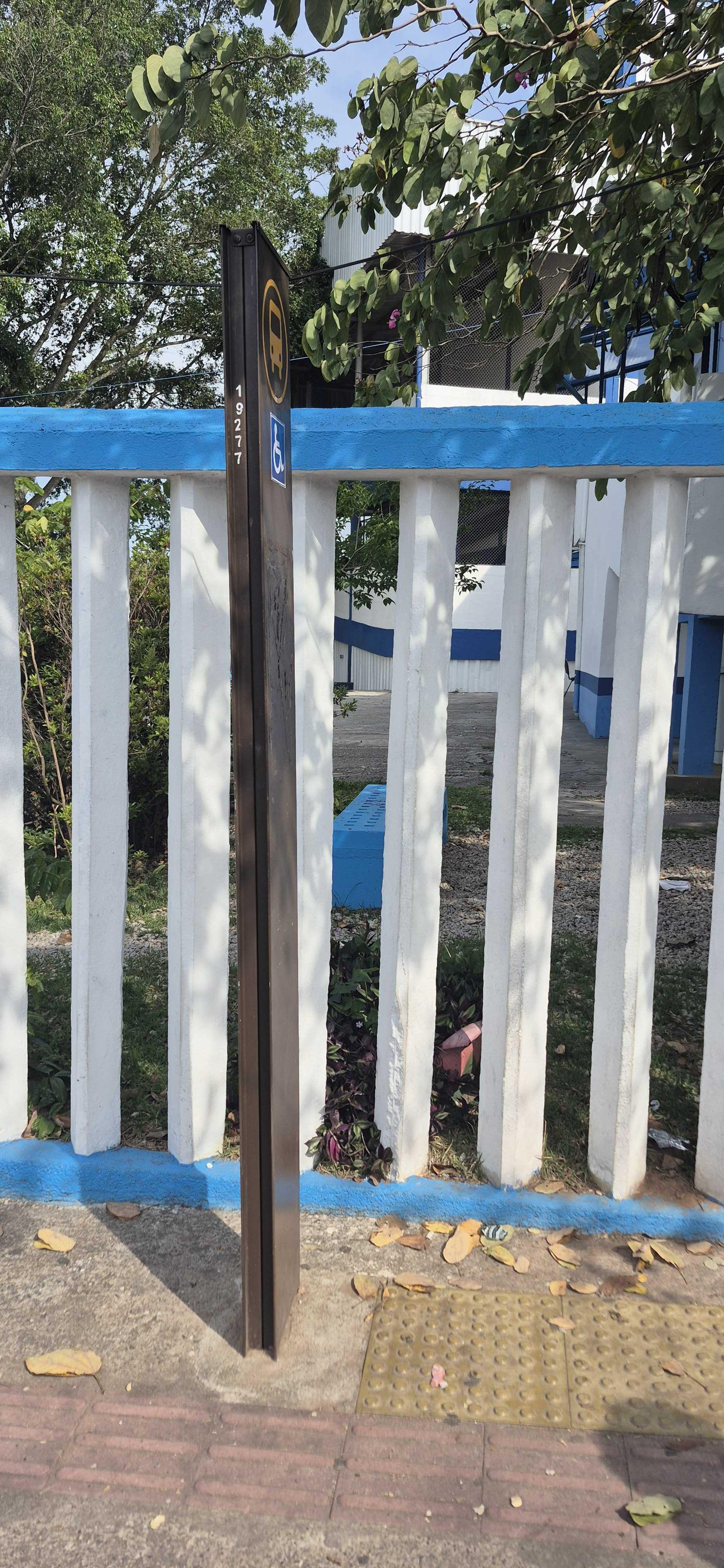 Taken by Anonymous
See R. Ignácio Limas, 11 stop, Jardim Ângela, on the map
Public transit to R. Ignácio Limas, 11 stop in Jardim Ângela
Looking for directions to R. Ignácio Limas, 11 in Jardim Ângela, Brazil?
Download the Moovit App to find the current schedule and step-by-step directions for Bus routes that pass through R. Ignácio Limas, 11.
Looking for the nearest stops closest to R. Ignácio Limas, 11 ? Check out this list of closest stops to your destination: R. Ignácio Limas; R. Luís Flávio de Almeida; Estr. da Baronesa.
Bus: 6006-10, N740-11, 6028-10, N738-11, 6035-21, 7016-10, 7016-21, 7023-10.
We make riding on public transit to R. Ignácio Limas, 11 easy, which is why over 1.7 billion users, including users in Jardim Ângela trust Moovit as the best app for public transit.
Use the app to navigate to popular places including to the airport, hospital, stadium, grocery store, mall, coffee shop, school, college, and university.
The first line to this stop is N740-11, at 3:33 AM, and the last line is N740-11 at 2:33 AM.
8 Rua Ignacio Limas, São Paulo, Brazil
This stop serves SPTrans’s lines
- R. Ignácio Limas, 11,
- R. Luís Flávio de Almeida, 35,
- Estr. da Baronesa, 57
Bus stops near R. Ignácio Limas, 11 stop
- Av. Yervant Kissajikian, 2248,
- Av. Francisco Ferreira Lopes,
- Santa Cecília,
- Av. Forte do Leme, 360,
- Av. Inconfidência Mineira, 2050,
- Hospital Leonor Mendes de Barros,
- Avenida Marechal Tito,
- Penitenciaria,
- Av. do Anastácio, 2421,
- Parada Ubs Alto Do Ipiranga,
- Ponto Final Cidade São Pedro (Linha 850,860),
- Rua Frei Caneca, 69 (Hotel Pergamon),
- Av. Morumbi, 8045,
- R. Jorge Duprat Figueiredo, 108,
- Rua Treze de Maio,1483,
- Avenida Florêncio De Paiva 566,
- Biritiba Ussu (Esquina Mogi-Bertioga),
- Francisco Morato,
- Av. Guilherme Cotching, 380,
- Autódromo
Popular public transit stations in Jardim Ângela
Get around Jardim Ângela by public transit!
Traveling around Jardim Ângela has never been so easy. See step by step directions as you travel to any attraction, street or major public transit station. View bus and train schedules, arrival times, service alerts and detailed routes on a map, so you know exactly how to get to anywhere in Jardim Ângela.
When traveling to any destination around Jardim Ângela use Moovit's Live Directions with Get Off Notifications to know exactly where and how far to walk, how long to wait for your line, and how many stops are left. Moovit will alert you when it's time to get off — no need to constantly re-check whether yours is the next stop.
Wondering how to use public transit in Jardim Ângela or how to pay for public transit in Jardim Ângela? Moovit public transit app can help you navigate your way with public transit easily, and at minimum cost. It includes public transit fees, ticket prices, and costs. Looking for a map of Jardim Ângela public transit lines? Moovit public transit app shows all public transit maps in Jardim Ângela with all Bus, Train, Metro, Light Rail, Ferry, Gondola, Cable Car and Funicular routes and stops on an interactive map.
Sao Paulo Region has 8 transit type(s), including: Bus, Train, Metro, Light Rail, Ferry, Gondola, Cable Car and Funicular, operated by several transit agencies, including SPTrans, CPTM, ViaMobilidade, Aquático SP, SPTRANS, EMTU, ViaQuatro, Auto Ônibus Moratense, GRU Airport (Aeroporto de Guarulhos), Auto Viação Urubupungá (Cajamar), Viação Cometa, Auto Viação Urubupungá (Osasco), Viação Ultra / Rápido Brasil, Auto Viação Urubupungá (Santana de Parnaíba) and Expresso Luxo