R. Inácio Couto, 2 stop - Thursday schedule
| Line | Direction | Time |
|---|---|---|
| N733-11 | Vl. Gilda | 3:22 AM |
| N733-11 | Vl. Gilda | 3:52 AM |
| N733-11 | Vl. Gilda | 4:22 AM |
| 6035-21 | Term. Guarapiranga | 4:48 AM |
| N733-11 | Vl. Gilda | 4:52 AM |
| 6035-21 | Term. Guarapiranga | 5:09 AM |
| 6035-21 | Term. Guarapiranga | 5:30 AM |
| 6035-21 | Term. Guarapiranga | 5:42 AM |
| 6035-21 | Vl. Gilda | 5:53 AM |
| 6035-21 | Term. Guarapiranga | 5:54 AM |
| 6035-21 | Term. Guarapiranga | 6:06 AM |
| 6035-21 | Term. Guarapiranga | 6:18 AM |
| 6035-21 | Vl. Gilda | 6:23 AM |
| 6035-21 | Term. Guarapiranga | 6:30 AM |
| 6035-21 | Term. Guarapiranga | 6:42 AM |
| 6035-21 | Vl. Gilda | 6:43 AM |
| 6035-21 | Term. Guarapiranga | 6:54 AM |
| 6035-21 | Vl. Gilda | 6:55 AM |
| 6035-21 | Term. Guarapiranga | 7:07 AM |
| 6035-21 | Vl. Gilda | 7:09 AM |
| 6035-21 | Term. Guarapiranga | 7:23 AM |
| 6035-21 | Vl. Gilda | 7:24 AM |
| 6035-21 | Term. Guarapiranga | 7:39 AM |
| 6035-21 | Vl. Gilda | 7:40 AM |
| 6035-21 | Term. Guarapiranga | 7:54 AM |
Directions to R. Inácio Couto, 2 stop (Jardim Ângela) with public transit
The following transit lines have routes that pass near R. Inácio Couto, 2
 Bus: 6035-10, 6035-21, 637R-10, N733-11, 7001-10.
How to get to R. Inácio Couto, 2 stop by bus?
Click on the bus route to see step by step directions with maps, line arrival times and updated time schedules.
Bus stops near R. Inácio Couto, 2 stop in Jardim Ângela
- Estr. Cumbica, 396, 3 min walk,
Bus lines to R. Inácio Couto, 2 stop in Jardim Ângela
- 637R-10, Term. Sto. Amaro,
- N733-11, Vl. Gilda,
- 6035-10, Sto. Amaro,
- 6035-21, Term. Guarapiranga,
- 7001-10, Jd. Ângela,
What are the closest stations to R. Inácio Couto, 2?
The closest stations to R. Inácio Couto, 2 are:
- Estr. Cumbica, 396 stop is 190 meters away, 3 min walk.
Which bus lines stop near R. Inácio Couto, 2?
These bus lines stop near R. Inácio Couto, 2: 6035-10, 6035-21, 637R-10.
What’s the nearest bus station to R. Inácio Couto, 2 in Jardim Ângela?
The nearest bus station to R. Inácio Couto, 2 in Jardim Ângela is Estr. Cumbica, 396. It’s a 3 min walk away.
What time is the first bus to R. Inácio Couto, 2 in Jardim Ângela?
The N733-11 is the first bus that goes to R. Inácio Couto, 2 in Jardim Ângela. It stops nearby at 3:16 AM.
What time is the last bus to R. Inácio Couto, 2 in Jardim Ângela?
The N733-11 is the last bus that goes to R. Inácio Couto, 2 in Jardim Ângela. It stops nearby at 2:53 AM.
R. Inácio Couto, 2 station
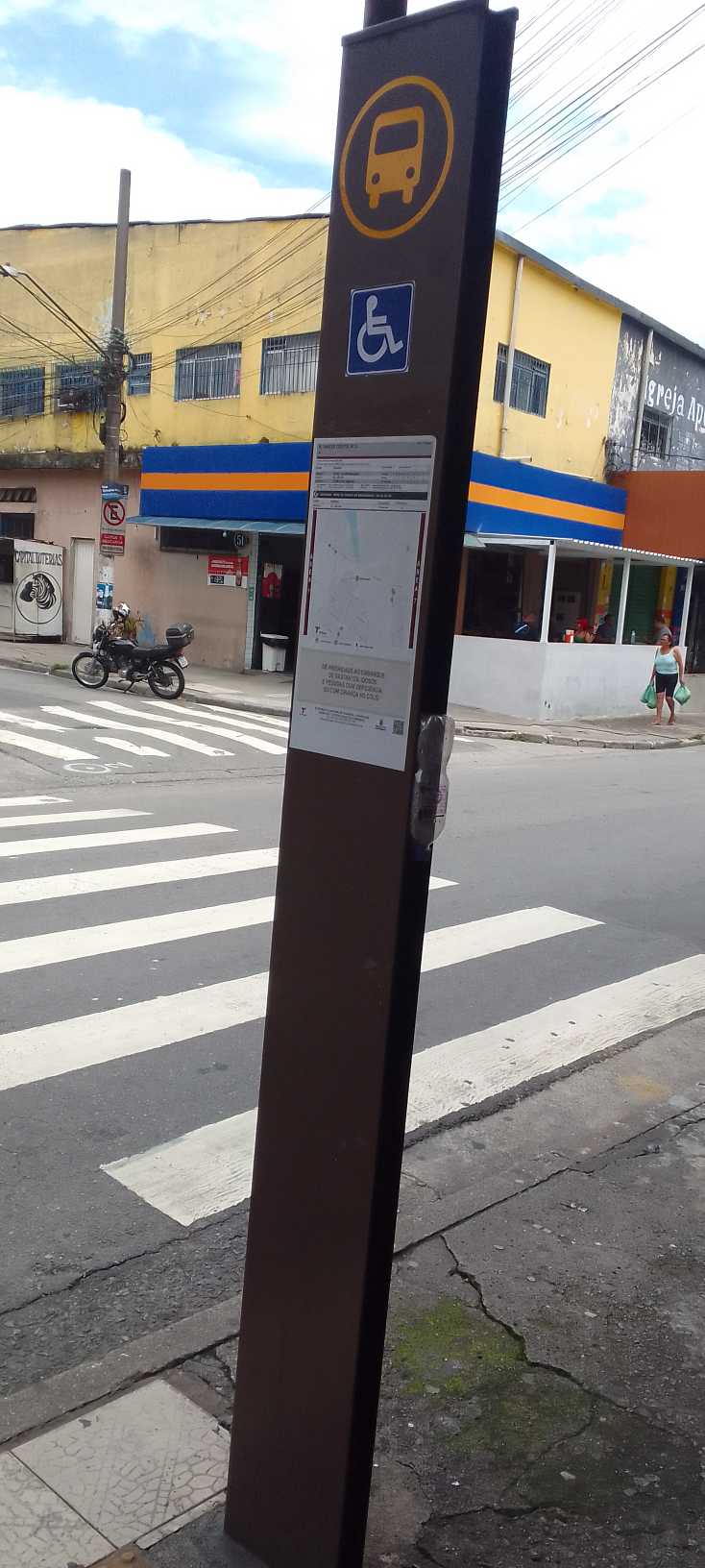 Taken by Anonymous
See R. Inácio Couto, 2 stop, Jardim Ângela, on the map
Public transit to R. Inácio Couto, 2 stop in Jardim Ângela
Looking for directions to R. Inácio Couto, 2 in Jardim Ângela, Brazil?
Download the Moovit App to find the current schedule and step-by-step directions for Bus routes that pass through R. Inácio Couto, 2.
Looking for the nearest stops closest to R. Inácio Couto, 2 ? Check out this list of closest stops to your destination: Estr. Cumbica.
Bus: 6035-10, 6035-21, 637R-10, N733-11, 7001-10.
We make riding on public transit to R. Inácio Couto, 2 easy, which is why over 1.7 billion users, including users in Jardim Ângela trust Moovit as the best app for public transit.
Use the app to navigate to popular places including to the airport, hospital, stadium, grocery store, mall, coffee shop, school, college, and university.
The first line to this stop is N733-11, at 3:22 AM, and the last line is N733-11 at 2:52 AM.
44 Rua Inacio Couto, São Paulo, Brazil
This stop serves SPTrans’s lines
- Estr. Cumbica, 396
Bus stop near R. Inácio Couto, 2 stop
- Av. Água Fria, 1589,
- Francisco Morato,
- Rua General Manoel de Azambuja Brilhante 456,
- Av. Cruzeiro do Sul, 1949,
- Av. Angélica, 634,
- Parada 1 - Eucaliptos C/B,
- Pista Central,
- Av. Prof. Vicente Ráo, 1700,
- Rua São Canuto,
- Av. Eliseu de Almeida, 3150,
- R. Da. Ana Nery, 929,
- Av. Giovanni Gronchi, 5819,
- Terminal Pirituba,
- Av. João Paulo Primeiro, 1110,
- R. Odilon Dantas Cortez, 306,
- R. Dr. Artur Guimarães, 137,
- Av. Ultramarino,
- Avenida Amador Bueno da Veiga 195,
- Av. do Jangadeiro, 378,
- Estr. Itaquaquecetuba
Popular public transit stations in Jardim Ângela
Get around Jardim Ângela by public transit!
Traveling around Jardim Ângela has never been so easy. See step by step directions as you travel to any attraction, street or major public transit station. View bus and train schedules, arrival times, service alerts and detailed routes on a map, so you know exactly how to get to anywhere in Jardim Ângela.
When traveling to any destination around Jardim Ângela use Moovit's Live Directions with Get Off Notifications to know exactly where and how far to walk, how long to wait for your line, and how many stops are left. Moovit will alert you when it's time to get off — no need to constantly re-check whether yours is the next stop.
Wondering how to use public transit in Jardim Ângela or how to pay for public transit in Jardim Ângela? Moovit public transit app can help you navigate your way with public transit easily, and at minimum cost. It includes public transit fees, ticket prices, and costs. Looking for a map of Jardim Ângela public transit lines? Moovit public transit app shows all public transit maps in Jardim Ângela with all Bus, Train, Metro, Light Rail, Ferry, Gondola, Cable Car and Funicular routes and stops on an interactive map.
Sao Paulo Region has 8 transit type(s), including: Bus, Train, Metro, Light Rail, Ferry, Gondola, Cable Car and Funicular, operated by several transit agencies, including SPTrans, CPTM, ViaMobilidade, Aquático SP, SPTRANS, EMTU, ViaQuatro, Auto Ônibus Moratense, GRU Airport (Aeroporto de Guarulhos), Auto Viação Urubupungá (Cajamar), Viação Cometa, Auto Viação Urubupungá (Osasco), Viação Ultra / Rápido Brasil, Auto Viação Urubupungá (Santana de Parnaíba) and Expresso Luxo