R. Inácio Monteiro, 700 stop - Wednesday schedule
| Line | Direction | Time |
|---|---|---|
| N441-11 | Vl. Yolanda | 3:09 AM |
| 312N-10 | São Miguel Paulista | 4:08 AM |
| N441-11 | Vl. Yolanda | 4:09 AM |
| 312N-10 | São Miguel Paulista | 4:23 AM |
| 3768-10 | Vl. Yolanda | 4:25 AM |
| 312N-10 | São Miguel Paulista | 4:38 AM |
| 4003-10 | Inácio Monteiro | 4:40 AM |
| 3768-10 | Vl. Yolanda | 4:45 AM |
| 312N-10 | São Miguel Paulista | 4:53 AM |
| 3768-10 | Vl. Yolanda | 5:00 AM |
| 3751-10 | COHAB Prestes Maia | 5:01 AM |
| 3756-10 | Barro Branco | 5:02 AM |
| 4003-10 | Inácio Monteiro | 5:06 AM |
| 312N-10 | São Miguel Paulista | 5:09 AM |
| 312N-10 | São Miguel Paulista | 5:16 AM |
| 3751-10 | COHAB Prestes Maia | 5:18 AM |
| 3025-10 | Sítio Conceição | 5:18 AM |
| 3738-10 | COHAB Juscelino | 5:18 AM |
| 3756-10 | Barro Branco | 5:19 AM |
| 3768-10 | Vl. Yolanda | 5:19 AM |
| 312N-10 | São Miguel Paulista | 5:23 AM |
| 3756-10 | Barro Branco | 5:29 AM |
| 312N-10 | São Miguel Paulista | 5:30 AM |
| 4003-10 | Inácio Monteiro | 5:33 AM |
| 3751-10 | COHAB Prestes Maia | 5:34 AM |
Directions to R. Inácio Monteiro, 700 stop (Cidade Tiradentes) with public transit
The following transit lines have routes that pass near R. Inácio Monteiro, 700
 Bus: 342N-10, 3738-10, 3756-10, 3768-10, 4314-10.
- Train: LINHA 11.
How to get to R. Inácio Monteiro, 700 stop by bus?
Click on the bus route to see step by step directions with maps, line arrival times and updated time schedules.
How to get to R. Inácio Monteiro, 700 stop by train?
Click on the train route to see step by step directions with maps, line arrival times and updated time schedules.
Bus stops near R. Inácio Monteiro, 700 stop in Cidade Tiradentes
- R. Dr. Guilherme de Abreu Sodre, 67, 1 min walk,
- R. Inácio Monteiro, 600, 3 min walk,
- R. Onofre Leite Meirelles, 9 min walk,
Train stations near R. Inácio Monteiro, 700 station in Cidade Tiradentes
- Guaianases, 27 min walk,
Bus lines to R. Inácio Monteiro, 700 stop in Cidade Tiradentes
- 312N-10, São Miguel Paulista,
- N441-11, Vl. Yolanda,
- 3025-10, CPTM Guaianases,
- 3751-10, Metrô Itaquera,
- 4003-10, E.T. Itaquera,
- 342N-10, CPTM Guaianases,
- 3738-10, COHAB Juscelino,
- 3756-10, Barro Branco,
- 3768-10, CPTM José Bonifácio,
- 4314-10, Term. Pq. D. Pedro II,
- 4314-21, Term. Vl. Carrão,
- N437-11, Term. Cid. Tiradentes,
- 3026-10, CPTM Guaianases,
- 3754-10, Metrô Itaquera,
- 4007-10, COHAB Juscelino,
- 4007-31, São Mateus,
What are the closest stations to R. Inácio Monteiro, 700?
The closest stations to R. Inácio Monteiro, 700 are:
- R. Dr. Guilherme de Abreu Sodre, 67 stop is 48 meters away, 1 min walk.
- R. Inácio Monteiro, 600 stop is 181 meters away, 3 min walk.
- R. Onofre Leite Meirelles stop is 627 meters away, 9 min walk.
- Guaianases station is 2094 meters away, 27 min walk.
Which bus lines stop near R. Inácio Monteiro, 700?
These bus lines stop near R. Inácio Monteiro, 700: 342N-10, 3738-10, 3756-10, 3768-10, 4314-10.
Which train line stops near R. Inácio Monteiro, 700?
LINHA 11 (Estudantes)
What’s the nearest train station to R. Inácio Monteiro, 700 in Cidade Tiradentes?
The nearest train station to R. Inácio Monteiro, 700 in Cidade Tiradentes is Guaianases. It’s a 27 min walk away.
What’s the nearest bus station to R. Inácio Monteiro, 700 in Cidade Tiradentes?
The nearest bus station to R. Inácio Monteiro, 700 in Cidade Tiradentes is R. Dr. Guilherme de Abreu Sodre, 67. It’s a 1 min walk away.
What time is the first train to R. Inácio Monteiro, 700 in Cidade Tiradentes?
The LINHA 11 is the first train that goes to R. Inácio Monteiro, 700 in Cidade Tiradentes. It stops nearby at 4:00 AM.
What time is the last train to R. Inácio Monteiro, 700 in Cidade Tiradentes?
The LINHA 11 is the last train that goes to R. Inácio Monteiro, 700 in Cidade Tiradentes. It stops nearby at 12:39 AM.
What time is the first bus to R. Inácio Monteiro, 700 in Cidade Tiradentes?
The N441-11 is the first bus that goes to R. Inácio Monteiro, 700 in Cidade Tiradentes. It stops nearby at 3:08 AM.
What time is the last bus to R. Inácio Monteiro, 700 in Cidade Tiradentes?
The N437-11 is the last bus that goes to R. Inácio Monteiro, 700 in Cidade Tiradentes. It stops nearby at 2:57 AM.
R. Inácio Monteiro, 700 station
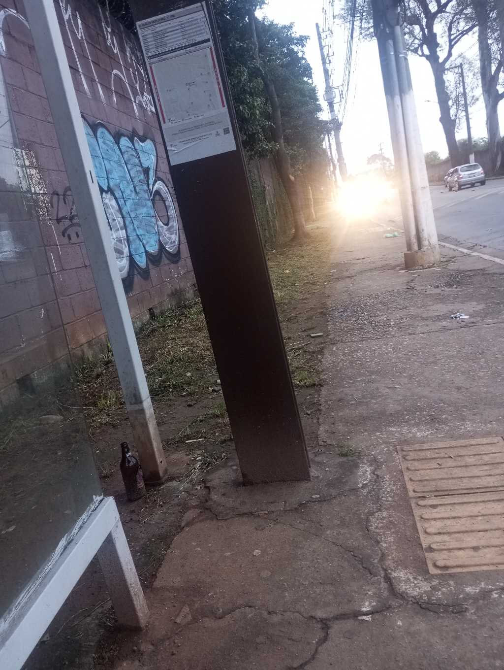 Taken by Anonymous
See R. Inácio Monteiro, 700 stop, Cidade Tiradentes, on the map
Public transit to R. Inácio Monteiro, 700 stop in Cidade Tiradentes
Looking for directions to R. Inácio Monteiro, 700 in Cidade Tiradentes, Brazil?
Download the Moovit App to find the current schedule and step-by-step directions for Bus or Train routes that pass through R. Inácio Monteiro, 700.
Looking for the nearest stops closest to R. Inácio Monteiro, 700 ? Check out this list of closest stops to your destination: R. Dr. Guilherme de Abreu Sodre; R. Inácio Monteiro; R. Onofre Leite Meirelles; Guaianases.
Bus: 342N-10, 3738-10, 3756-10, 3768-10, 4314-10, 312N-10, N441-11, 3025-10, 3751-10, 4003-10, N437-11, 3026-10, 3754-10, 4007-10, 4007-31.Train: LINHA 11.
We make riding on public transit to R. Inácio Monteiro, 700 easy, which is why over 1.7 billion users, including users in Cidade Tiradentes trust Moovit as the best app for public transit.
Use the app to navigate to popular places including to the airport, hospital, stadium, grocery store, mall, coffee shop, school, college, and university.
The first line to this stop is N441-11, at 3:09 AM, and the last line is 4314-10 at 2:37 AM.
600 Rua Inacio Monteiro, São Paulo, Brazil
This stop serves SPTrans’s lines
- R. Dr. Guilherme de Abreu Sodre, 67,
- R. Inácio Monteiro, 600,
- R. Onofre Leite Meirelles
Bus stops near R. Inácio Monteiro, 700 stop
- Guaianases
Train station near R. Inácio Monteiro, 700 station
- Avenida Marginal do Ribeirão,
- Avenida Agenor Couto de Magalhães 125,
- Terminal Santana de Parnaíba,
- Hospital Campo Limpo B/C,
- Av. Guido Aliberti, 4850 - Mauá, São Caetano do Sul,
- Avenida Professor Vicente Rao,
- USP Leste,
- Avenida Jacinto Menezes Palhares,
- Avenida Roque Petroni Júnior 837,
- Vila Madalena,
- Av. Alexios Jafet,
- R. Voluntários da Pátria, 3566,
- Av. Otacílio Tomanik,
- 14 Bis C/B,
- Guianas B/C,
- Avenida Paulista 2452,
- Av. dos Nacionalistas, 920,
- Estrada Do Kiri,
- Av. Jurubatuba, 384,
- Avenida Itaberaba, 1803
Popular public transit stations in Cidade Tiradentes
Get around Cidade Tiradentes by public transit!
Traveling around Cidade Tiradentes has never been so easy. See step by step directions as you travel to any attraction, street or major public transit station. View bus and train schedules, arrival times, service alerts and detailed routes on a map, so you know exactly how to get to anywhere in Cidade Tiradentes.
When traveling to any destination around Cidade Tiradentes use Moovit's Live Directions with Get Off Notifications to know exactly where and how far to walk, how long to wait for your line, and how many stops are left. Moovit will alert you when it's time to get off — no need to constantly re-check whether yours is the next stop.
Wondering how to use public transit in Cidade Tiradentes or how to pay for public transit in Cidade Tiradentes? Moovit public transit app can help you navigate your way with public transit easily, and at minimum cost. It includes public transit fees, ticket prices, and costs. Looking for a map of Cidade Tiradentes public transit lines? Moovit public transit app shows all public transit maps in Cidade Tiradentes with all Bus, Train, Metro, Light Rail, Ferry, Gondola, Cable Car and Funicular routes and stops on an interactive map.
Sao Paulo Region has 8 transit type(s), including: Bus, Train, Metro, Light Rail, Ferry, Gondola, Cable Car and Funicular, operated by several transit agencies, including SPTrans, CPTM, ViaMobilidade, Aquático SP, SPTRANS, EMTU, ViaQuatro, Auto Ônibus Moratense, GRU Airport (Aeroporto de Guarulhos), Auto Viação Urubupungá (Cajamar), Viação Cometa, Auto Viação Urubupungá (Osasco), Viação Ultra / Rápido Brasil, Auto Viação Urubupungá (Santana de Parnaíba) and Expresso Luxo