R. Inácio Monteiro, 980 stop - Saturday schedule
| Line | Direction | Time |
|---|---|---|
| 3768-10 | Vl. Yolanda | 4:32 AM |
| 4003-10 | Inácio Monteiro | 4:46 AM |
| 3768-10 | Vl. Yolanda | 4:47 AM |
| 3768-10 | Vl. Yolanda | 5:07 AM |
| 4003-10 | Inácio Monteiro | 5:23 AM |
| 3756-10 | Barro Branco | 5:25 AM |
| 3768-10 | Vl. Yolanda | 5:28 AM |
| 3756-10 | Barro Branco | 5:41 AM |
| 3768-10 | Vl. Yolanda | 5:48 AM |
| 3756-10 | Barro Branco | 5:56 AM |
| 4003-10 | Inácio Monteiro | 5:59 AM |
| 3768-10 | Vl. Yolanda | 6:08 AM |
| 3756-10 | Barro Branco | 6:11 AM |
| 3768-10 | Vl. Yolanda | 6:23 AM |
| 3756-10 | Barro Branco | 6:26 AM |
| 4003-10 | Inácio Monteiro | 6:34 AM |
| 3756-10 | Barro Branco | 6:41 AM |
| 3768-10 | Vl. Yolanda | 6:43 AM |
| 3756-10 | Barro Branco | 6:53 AM |
| 3768-10 | Vl. Yolanda | 7:04 AM |
| 3756-10 | Barro Branco | 7:07 AM |
| 4003-10 | Inácio Monteiro | 7:12 AM |
| 3756-10 | Barro Branco | 7:23 AM |
| 3768-10 | Vl. Yolanda | 7:31 AM |
| 3756-10 | Barro Branco | 7:40 AM |
Directions to R. Inácio Monteiro, 980 stop (Cidade Tiradentes) with public transit
The following transit lines have routes that pass near R. Inácio Monteiro, 980
 Bus: 3026-10, 312N-10, 3738-10, 3756-10, 3768-10.
- Train: LINHA 11.
How to get to R. Inácio Monteiro, 980 stop by bus?
Click on the bus route to see step by step directions with maps, line arrival times and updated time schedules.
How to get to R. Inácio Monteiro, 980 stop by train?
Click on the train route to see step by step directions with maps, line arrival times and updated time schedules.
Bus stops near R. Inácio Monteiro, 980 stop in Cidade Tiradentes
- R. Inácio Monteiro, 876, 2 min walk,
- Av. José Higino Neves, 876, 4 min walk,
- R. Dr. Guilherme de Abreu Sodre, 1657, 4 min walk,
- Av. José Higino Neves, 4 min walk,
- R. Dr. Guilherme de Abreu Sodre, 67, 4 min walk,
Train stations near R. Inácio Monteiro, 980 station in Cidade Tiradentes
- Antonio Gianetti Neto, 28 min walk,
Bus lines to R. Inácio Monteiro, 980 stop in Cidade Tiradentes
- 342N-10, CPTM Guaianases,
- 3738-10, COHAB Juscelino,
- 3756-10, Barro Branco,
- 3768-10, CPTM José Bonifácio,
- 4003-10, E.T. Itaquera,
- 4314-10, Term. Pq. D. Pedro II,
- 4314-21, Term. Vl. Carrão,
- 312N-10, São Miguel Paulista,
- 3754-10, Metrô Itaquera,
- 3751-10, Metrô Itaquera,
- N437-11, Term. Cid. Tiradentes,
- 3026-10, CPTM Guaianases,
- 4007-10, COHAB Juscelino,
- 4007-31, São Mateus,
- N441-11, Vl. Yolanda,
- 3025-10, CPTM Guaianases,
What are the closest stations to R. Inácio Monteiro, 980?
The closest stations to R. Inácio Monteiro, 980 are:
- R. Inácio Monteiro, 876 stop is 102 meters away, 2 min walk.
- Av. José Higino Neves, 876 stop is 233 meters away, 4 min walk.
- R. Dr. Guilherme de Abreu Sodre, 1657 stop is 242 meters away, 4 min walk.
- Av. José Higino Neves stop is 273 meters away, 4 min walk.
- R. Dr. Guilherme de Abreu Sodre, 67 stop is 307 meters away, 4 min walk.
- Antonio Gianetti Neto station is 2103 meters away, 28 min walk.
Which bus lines stop near R. Inácio Monteiro, 980?
These bus lines stop near R. Inácio Monteiro, 980: 3026-10, 312N-10, 3738-10, 3756-10, 3768-10.
Which train line stops near R. Inácio Monteiro, 980?
LINHA 11 (Luz)
What’s the nearest train station to R. Inácio Monteiro, 980 in Cidade Tiradentes?
The nearest train station to R. Inácio Monteiro, 980 in Cidade Tiradentes is Antonio Gianetti Neto. It’s a 28 min walk away.
What’s the nearest bus station to R. Inácio Monteiro, 980 in Cidade Tiradentes?
The nearest bus station to R. Inácio Monteiro, 980 in Cidade Tiradentes is R. Inácio Monteiro, 876. It’s a 2 min walk away.
What time is the first train to R. Inácio Monteiro, 980 in Cidade Tiradentes?
The LINHA 11 is the first train that goes to R. Inácio Monteiro, 980 in Cidade Tiradentes. It stops nearby at 4:00 AM.
What time is the last train to R. Inácio Monteiro, 980 in Cidade Tiradentes?
The LINHA 11 is the last train that goes to R. Inácio Monteiro, 980 in Cidade Tiradentes. It stops nearby at 12:39 AM.
What time is the first bus to R. Inácio Monteiro, 980 in Cidade Tiradentes?
The N441-11 is the first bus that goes to R. Inácio Monteiro, 980 in Cidade Tiradentes. It stops nearby at 3:09 AM.
What time is the last bus to R. Inácio Monteiro, 980 in Cidade Tiradentes?
The N437-11 is the last bus that goes to R. Inácio Monteiro, 980 in Cidade Tiradentes. It stops nearby at 2:56 AM.
R. Inácio Monteiro, 980 station
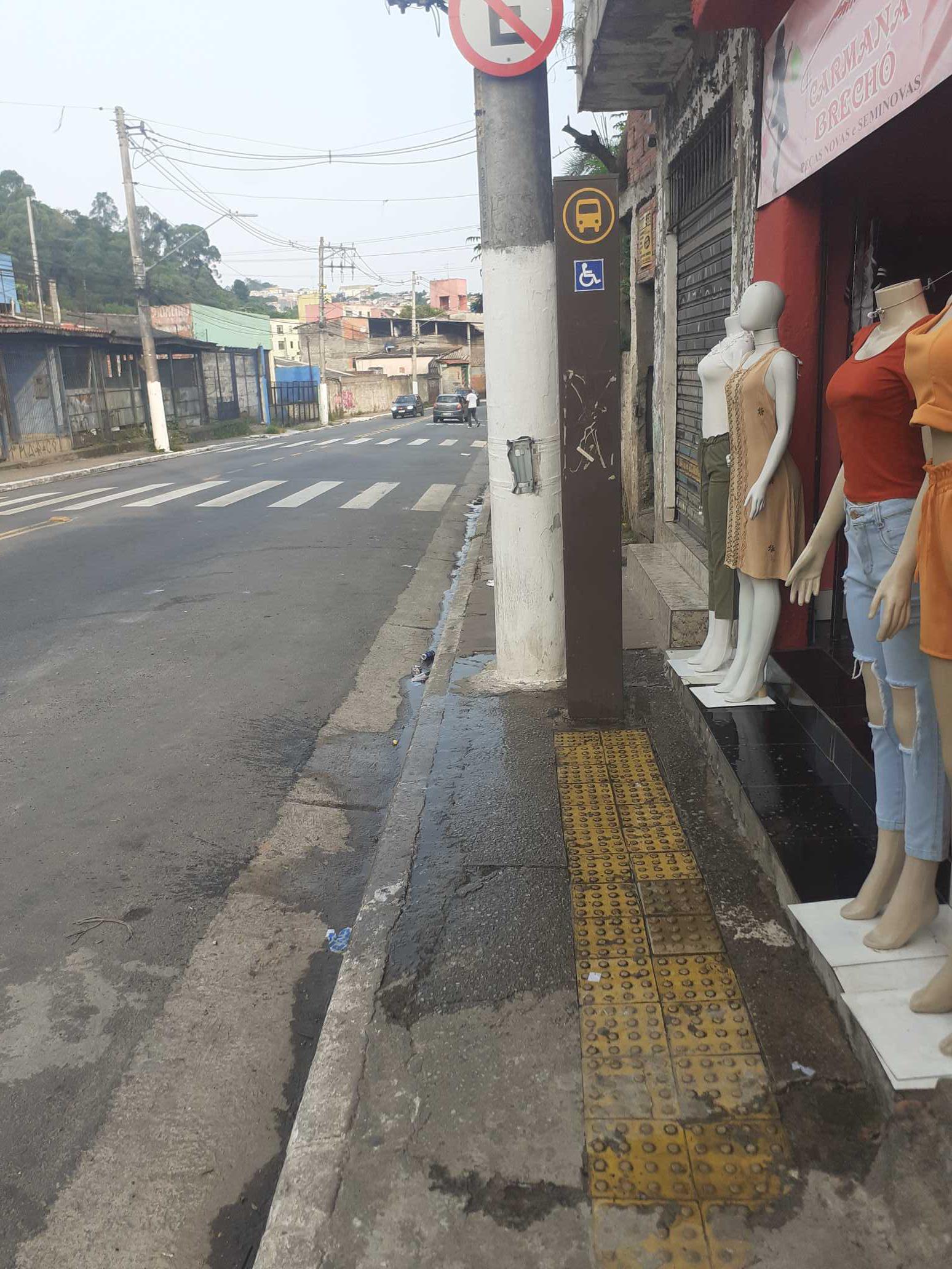 Taken by Anonymous
See R. Inácio Monteiro, 980 stop, Cidade Tiradentes, on the map
Public transit to R. Inácio Monteiro, 980 stop in Cidade Tiradentes
Looking for directions to R. Inácio Monteiro, 980 in Cidade Tiradentes, Brazil?
Download the Moovit App to find the current schedule and step-by-step directions for Bus or Train routes that pass through R. Inácio Monteiro, 980.
Looking for the nearest stops closest to R. Inácio Monteiro, 980 ? Check out this list of closest stops to your destination: R. Inácio Monteiro; Av. José Higino Neves; R. Dr. Guilherme de Abreu Sodre; Av. José Higino Neves; R. Dr. Guilherme de Abreu Sodre; Antonio Gianetti Neto.
Bus: 3026-10, 312N-10, 3738-10, 3756-10, 3768-10, 342N-10, 4003-10, 3754-10, 3751-10, N437-11, 4007-10, 4007-31, N441-11, 3025-10.Train: LINHA 11.
We make riding on public transit to R. Inácio Monteiro, 980 easy, which is why over 1.7 billion users, including users in Cidade Tiradentes trust Moovit as the best app for public transit.
Use the app to navigate to popular places including to the airport, hospital, stadium, grocery store, mall, coffee shop, school, college, and university.
The first line to this stop is 3768-10, at 4:32 AM, and the last line is 3756-10 at 1:23 AM.
9 Rua Quarenta E Oito, São Paulo, Brazil
This stop serves SPTrans’s lines
- R. Inácio Monteiro, 876,
- Av. José Higino Neves, 876,
- R. Dr. Guilherme de Abreu Sodre, 1657,
- Av. José Higino Neves,
- R. Dr. Guilherme de Abreu Sodre, 67
Bus stops near R. Inácio Monteiro, 980 stop
- Antonio Gianetti Neto
Train station near R. Inácio Monteiro, 980 station
- Estr. Egílio Vitorello, 31 - Jardim Maria Beatriz, Carapicuíba,
- Av. Alexios Jafet, 560,
- Comandante Sampaio,
- Av. República do Líbano, 176,
- Av. Amador Bueno da Veiga, 3015,
- Av. Ivo Mario Isaac Pires,
- Av. Sumaré, 73,
- Av. Guido Caloi, 1935,
- Av. Cruzeiro do Sul, 1949,
- Av. Francisco Ferreira Lopes,
- Teatro Renault,
- Cidade Jardim,
- Via de Acesso João de Góes, 2300 - Jardim Alvorada Jandira,
- Av. José Manoel Camisa Nova, 116,
- Shopping Ibirapuera C/B 1 • Metrô Eucaliptos,
- Av. Osvaldo Valle Cordeiro, 389,
- J. K. B/C,
- Rua Brigadeiro Tobias - Ministerio Da Fazienda,
- Br-116 Rod. Régis Bittencourt, Km 286,4 Sul,
- Avenida dos Autonomistas 3752
Popular public transit stations in Cidade Tiradentes
Get around Cidade Tiradentes by public transit!
Traveling around Cidade Tiradentes has never been so easy. See step by step directions as you travel to any attraction, street or major public transit station. View bus and train schedules, arrival times, service alerts and detailed routes on a map, so you know exactly how to get to anywhere in Cidade Tiradentes.
When traveling to any destination around Cidade Tiradentes use Moovit's Live Directions with Get Off Notifications to know exactly where and how far to walk, how long to wait for your line, and how many stops are left. Moovit will alert you when it's time to get off — no need to constantly re-check whether yours is the next stop.
Wondering how to use public transit in Cidade Tiradentes or how to pay for public transit in Cidade Tiradentes? Moovit public transit app can help you navigate your way with public transit easily, and at minimum cost. It includes public transit fees, ticket prices, and costs. Looking for a map of Cidade Tiradentes public transit lines? Moovit public transit app shows all public transit maps in Cidade Tiradentes with all Bus, Train, Metro, Light Rail, Ferry, Gondola, Cable Car and Funicular routes and stops on an interactive map.
Sao Paulo Region has 8 transit type(s), including: Bus, Train, Metro, Light Rail, Ferry, Gondola, Cable Car and Funicular, operated by several transit agencies, including SPTrans, CPTM, ViaMobilidade, Aquático SP, SPTRANS, EMTU, ViaQuatro, Auto Ônibus Moratense, GRU Airport (Aeroporto de Guarulhos), Auto Viação Urubupungá (Cajamar), Viação Cometa, Auto Viação Urubupungá (Osasco), Viação Ultra / Rápido Brasil, Auto Viação Urubupungá (Santana de Parnaíba) and Expresso Luxo