R. Inácio Monteiro, 9999 stop - Thursday schedule
| Line | Direction | Time |
|---|---|---|
| N441-11 | Vl. Yolanda | 3:30 AM |
| 3768-10 | CPTM José Bonifácio | 3:32 AM |
| 3026-10 | CPTM Guaianases | 3:33 AM |
| 3026-10 | CPTM Guaianases | 3:43 AM |
| 3768-10 | CPTM José Bonifácio | 3:47 AM |
| 3026-10 | CPTM Guaianases | 3:53 AM |
| 3768-10 | CPTM José Bonifácio | 4:02 AM |
| 3026-10 | CPTM Guaianases | 4:03 AM |
| 3026-10 | CPTM Guaianases | 4:08 AM |
| 3026-10 | CPTM Guaianases | 4:13 AM |
| 3768-10 | CPTM José Bonifácio | 4:17 AM |
| 3026-10 | CPTM Guaianases | 4:18 AM |
| 3026-10 | CPTM Guaianases | 4:23 AM |
| 3026-10 | CPTM Guaianases | 4:28 AM |
| N441-11 | Vl. Yolanda | 4:30 AM |
| 3026-10 | Vl. Iolanda II | 4:32 AM |
| 3768-10 | CPTM José Bonifácio | 4:32 AM |
| 3026-10 | CPTM Guaianases | 4:33 AM |
| 3026-10 | CPTM Guaianases | 4:38 AM |
| 3026-10 | Vl. Iolanda II | 4:42 AM |
| 3026-10 | CPTM Guaianases | 4:43 AM |
| 3768-10 | CPTM José Bonifácio | 4:47 AM |
| 3026-10 | CPTM Guaianases | 4:48 AM |
| 3026-10 | CPTM Guaianases | 4:53 AM |
| 3026-10 | Vl. Iolanda II | 4:55 AM |
Directions to R. Inácio Monteiro, 9999 stop (Cidade Tiradentes) with public transit
The following transit lines have routes that pass near R. Inácio Monteiro, 9999
 Bus: 3026-10, 4017-10, FV 003 ESTAÇÃO DE FERRAZ - CAMBIRÍ (VIA CEMITÉRIO), 3768-10, N441-11.
- Train: LINHA 11.
How to get to R. Inácio Monteiro, 9999 stop by bus?
Click on the bus route to see step by step directions with maps, line arrival times and updated time schedules.
Bus stops near R. Inácio Monteiro, 9999 stop in Cidade Tiradentes
- R. Inácio Monteiro, 1262, 1 min walk,
- Rua Inácio Monteiro 1915, 2 min walk,
- R. Ilha Mexicana, 36, 2 min walk,
- R. Inácio Monteiro, 17, 3 min walk,
Train stations near R. Inácio Monteiro, 9999 station in Cidade Tiradentes
- Antonio Gianetti Neto, 52 min walk,
Bus lines to R. Inácio Monteiro, 9999 stop in Cidade Tiradentes
- 3768-10, Vl. Yolanda,
- FV 003 ESTAÇÃO DE FERRAZ - CAMBIRÍ (VIA CEMITÉRIO), Cambiri (Via Cemitério),
- 4017-10, Metalúrgicos,
- N441-11, Vl. Yolanda,
- 3026-10, CPTM Guaianases,
What are the closest stations to R. Inácio Monteiro, 9999?
The closest stations to R. Inácio Monteiro, 9999 are:
- R. Inácio Monteiro, 1262 stop is 71 meters away, 1 min walk.
- Rua Inácio Monteiro 1915 stop is 79 meters away, 2 min walk.
- R. Ilha Mexicana, 36 stop is 101 meters away, 2 min walk.
- R. Inácio Monteiro, 17 stop is 233 meters away, 3 min walk.
- Antonio Gianetti Neto station is 4032 meters away, 52 min walk.
Which bus lines stop near R. Inácio Monteiro, 9999?
These bus lines stop near R. Inácio Monteiro, 9999: 3026-10, 4017-10, FV 003 ESTAÇÃO DE FERRAZ - CAMBIRÍ (VIA CEMITÉRIO).
What’s the nearest bus station to R. Inácio Monteiro, 9999 in Cidade Tiradentes?
The nearest bus station to R. Inácio Monteiro, 9999 in Cidade Tiradentes is R. Inácio Monteiro, 1262. It’s a 1 min walk away.
What time is the first train to R. Inácio Monteiro, 9999 in Cidade Tiradentes?
The LINHA 11 is the first train that goes to R. Inácio Monteiro, 9999 in Cidade Tiradentes. It stops nearby at 4:27 AM.
What time is the last train to R. Inácio Monteiro, 9999 in Cidade Tiradentes?
The LINHA 11 is the last train that goes to R. Inácio Monteiro, 9999 in Cidade Tiradentes. It stops nearby at 12:39 AM.
What time is the first bus to R. Inácio Monteiro, 9999 in Cidade Tiradentes?
The 3768-10 is the first bus that goes to R. Inácio Monteiro, 9999 in Cidade Tiradentes. It stops nearby at 3:30 AM.
What time is the last bus to R. Inácio Monteiro, 9999 in Cidade Tiradentes?
The N441-11 is the last bus that goes to R. Inácio Monteiro, 9999 in Cidade Tiradentes. It stops nearby at 2:31 AM.
R. Inácio Monteiro, 9999 station
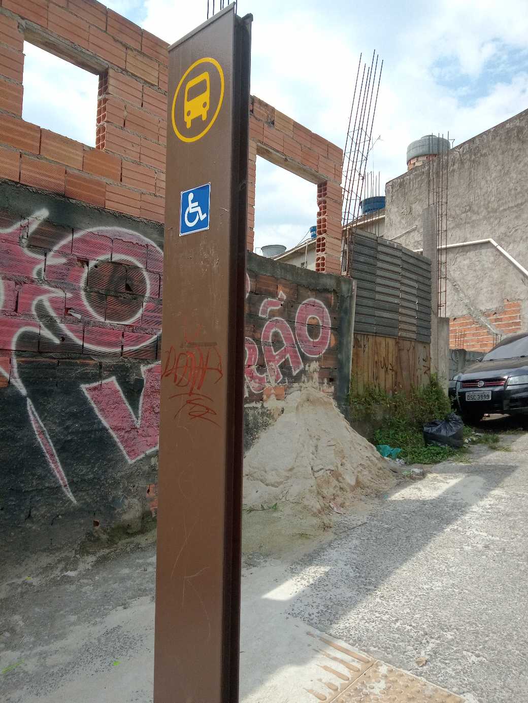 Taken by Anonymous
See R. Inácio Monteiro, 9999 stop, Cidade Tiradentes, on the map
Public transit to R. Inácio Monteiro, 9999 stop in Cidade Tiradentes
Looking for directions to R. Inácio Monteiro, 9999 in Cidade Tiradentes, Brazil?
Download the Moovit App to find the current schedule and step-by-step directions for Bus or Train routes that pass through R. Inácio Monteiro, 9999.
Looking for the nearest stops closest to R. Inácio Monteiro, 9999 ? Check out this list of closest stops to your destination: R. Inácio Monteiro; Rua Inácio Monteiro 1915; R. Ilha Mexicana; R. Inácio Monteiro; Antonio Gianetti Neto.
Bus: 3026-10, 4017-10, FV 003 ESTAÇÃO DE FERRAZ - CAMBIRÍ (VIA CEMITÉRIO), 3768-10, N441-11.Train: LINHA 11.
We make riding on public transit to R. Inácio Monteiro, 9999 easy, which is why over 1.7 billion users, including users in Cidade Tiradentes trust Moovit as the best app for public transit.
Use the app to navigate to popular places including to the airport, hospital, stadium, grocery store, mall, coffee shop, school, college, and university.
The first line to this stop is N441-11, at 3:30 AM, and the last line is N441-11 at 2:30 AM.
9 Rua Inacio Monteiro, São Paulo, Brazil
This stop serves SPTrans’s lines
- R. Inácio Monteiro, 1262,
- Rua Inácio Monteiro 1915,
- R. Ilha Mexicana, 36,
- R. Inácio Monteiro, 17
Bus stops near R. Inácio Monteiro, 9999 stop
- Antonio Gianetti Neto
Train station near R. Inácio Monteiro, 9999 station
- Av. Brig. Faria Lima, 3730,
- Antonio João,
- R. Mourato Coelho, 1022,
- Rua Coronel Xavier de Toledo, 220,
- Alameda África, 570,
- R. Paes Leme, 79,
- Av. Otto Baumgart, 1000,
- Avenida Cruzeiro Do Sul 2453,
- Japão-Liberdade,
- Avenida Jacinto Menezes Palhares,
- R. Voluntários da Pátria, 3566,
- Avenida Professor Noé Azevedo 260,
- Av. Bosque da Saúde, 146,
- Av. José Alves de Mira, 185,
- Av. Moreira Guimarães,
- Avenida Morvan Dias de Figueiredo,
- Terminal Jabaquara,
- Av. Prof. Alfonso Bovero, 1157,
- Parada Afonso Braz - B/C 1,
- Av. Guido Aliberti, 4850 - Mauá, São Caetano do Sul
Popular public transit stations in Cidade Tiradentes
Get around Cidade Tiradentes by public transit!
Traveling around Cidade Tiradentes has never been so easy. See step by step directions as you travel to any attraction, street or major public transit station. View bus and train schedules, arrival times, service alerts and detailed routes on a map, so you know exactly how to get to anywhere in Cidade Tiradentes.
When traveling to any destination around Cidade Tiradentes use Moovit's Live Directions with Get Off Notifications to know exactly where and how far to walk, how long to wait for your line, and how many stops are left. Moovit will alert you when it's time to get off — no need to constantly re-check whether yours is the next stop.
Wondering how to use public transit in Cidade Tiradentes or how to pay for public transit in Cidade Tiradentes? Moovit public transit app can help you navigate your way with public transit easily, and at minimum cost. It includes public transit fees, ticket prices, and costs. Looking for a map of Cidade Tiradentes public transit lines? Moovit public transit app shows all public transit maps in Cidade Tiradentes with all Bus, Train, Metro, Light Rail, Ferry, Gondola, Cable Car and Funicular routes and stops on an interactive map.
Sao Paulo Region has 8 transit type(s), including: Bus, Train, Metro, Light Rail, Ferry, Gondola, Cable Car and Funicular, operated by several transit agencies, including SPTrans, CPTM, ViaMobilidade, Aquático SP, SPTRANS, EMTU, ViaQuatro, Auto Ônibus Moratense, GRU Airport (Aeroporto de Guarulhos), Auto Viação Urubupungá (Cajamar), Viação Cometa, Auto Viação Urubupungá (Osasco), Viação Ultra / Rápido Brasil, Auto Viação Urubupungá (Santana de Parnaíba) and Expresso Luxo