R. João Rodrigues Chaves, 73 stop - Wednesday schedule
| Line | Direction | Time |
|---|---|---|
| N144-11 | Hospital Brasilândia | 3:22 AM |
| N144-11 | Hospital Brasilândia | 3:52 AM |
| 1024-10 | Conexão Petrônio Portela | 3:55 AM |
| 1024-10 | Conexão Petrônio Portela | 4:05 AM |
| 1024-10 | Conexão Petrônio Portela | 4:20 AM |
| N144-11 | Hospital Brasilândia | 4:22 AM |
| 1024-10 | Conexão Petrônio Portela | 4:30 AM |
| 1026-10 | Conexão Petrônio Portela | 4:35 AM |
| 1024-10 | Conexão Petrônio Portela | 4:40 AM |
| 1024-10 | Conexão Petrônio Portela | 4:48 AM |
| 1024-10 | Conexão Petrônio Portela | 4:55 AM |
| 1024-10 | Conexão Petrônio Portela | 5:00 AM |
| 1024-10 | Conexão Petrônio Portela | 5:06 AM |
| 1026-10 | Conexão Petrônio Portela | 5:11 AM |
| 1024-10 | Conexão Petrônio Portela | 5:11 AM |
| 1025-10 | Conexão Petrônio Portela | 5:16 AM |
| 1024-10 | Conexão Petrônio Portela | 5:16 AM |
| 1024-10 | Conexão Petrônio Portela | 5:22 AM |
| 1024-10 | Conexão Petrônio Portela | 5:28 AM |
| 1026-10 | Conexão Petrônio Portela | 5:31 AM |
| 1024-10 | Conexão Petrônio Portela | 5:34 AM |
| 1025-10 | Conexão Petrônio Portela | 5:36 AM |
| 1024-10 | Conexão Petrônio Portela | 5:40 AM |
| 1024-10 | Conexão Petrônio Portela | 5:46 AM |
| 1026-10 | Conexão Petrônio Portela | 5:51 AM |
Directions to R. João Rodrigues Chaves, 73 stop (Brasilândia) with public transit
The following transit lines have routes that pass near R. João Rodrigues Chaves, 73
 Bus: 1024-10, 1025-10, 8215-10, 847P-42, 9789-10.
- Train: LINHA 7.
How to get to R. João Rodrigues Chaves, 73 stop by bus?
Click on the bus route to see step by step directions with maps, line arrival times and updated time schedules.
Bus stops near R. João Rodrigues Chaves, 73 stop in Brasilândia
- R. dos Morgados, 134, 2 min walk,
- Avenida Ministro Petrônio Portela, 2247, 5 min walk,
- R. Parapuã, 807, 7 min walk,
- Estr. do Sabão, 819, 8 min walk,
Train stations near R. João Rodrigues Chaves, 73 station in Brasilândia
- Piqueri, 38 min walk,
Bus lines to R. João Rodrigues Chaves, 73 stop in Brasilândia
- N144-11, Hospital Brasilândia,
- 917M-31, Morro Grande,
- 1024-10, Conexão Petrônio Portela,
- 1025-10, Conexão Petrônio Portela,
- 1026-10, Vl. Iara,
- 9014-42, Term. Lapa,
- N141-11, Terminal Cachoeirinha - Jardim Carombé (Circular),
- 847P-42, Brasilândia - Vila Olímpia,
- 975A-10, Vila Brasilândia - Metrô Ana Rosa,
- 978T-10, Jardim Guarani - Metrô Barra Funda,
- 8215-10, Jardim Paulistano - Praça Do Correio,
- 8528-10, Jardim Guarani - Praça Do Correio,
- 9047-10, Jardim Paulistano - Lapa,
- 9789-10, Jardim Paulistano - Metrô Barra Funda,
- 8542-21, Term. Lapa,
What are the closest stations to R. João Rodrigues Chaves, 73?
The closest stations to R. João Rodrigues Chaves, 73 are:
- R. dos Morgados, 134 stop is 135 meters away, 2 min walk.
- Avenida Ministro Petrônio Portela, 2247 stop is 354 meters away, 5 min walk.
- R. Parapuã, 807 stop is 530 meters away, 7 min walk.
- Estr. do Sabão, 819 stop is 563 meters away, 8 min walk.
- Piqueri station is 2982 meters away, 38 min walk.
Which bus lines stop near R. João Rodrigues Chaves, 73?
These bus lines stop near R. João Rodrigues Chaves, 73: 1024-10, 1025-10, 8215-10, 847P-42, 9789-10.
What’s the nearest bus station to R. João Rodrigues Chaves, 73 in Brasilândia?
The nearest bus station to R. João Rodrigues Chaves, 73 in Brasilândia is R. dos Morgados, 134. It’s a 2 min walk away.
What time is the first train to R. João Rodrigues Chaves, 73 in Brasilândia?
The LINHA 7 is the first train that goes to R. João Rodrigues Chaves, 73 in Brasilândia. It stops nearby at 4:10 AM.
What time is the last train to R. João Rodrigues Chaves, 73 in Brasilândia?
The LINHA 7 is the last train that goes to R. João Rodrigues Chaves, 73 in Brasilândia. It stops nearby at 12:53 AM.
What time is the first bus to R. João Rodrigues Chaves, 73 in Brasilândia?
The N144-11 is the first bus that goes to R. João Rodrigues Chaves, 73 in Brasilândia. It stops nearby at 3:02 AM.
What time is the last bus to R. João Rodrigues Chaves, 73 in Brasilândia?
The N144-11 is the last bus that goes to R. João Rodrigues Chaves, 73 in Brasilândia. It stops nearby at 3:05 AM.
R. João Rodrigues Chaves, 73 station
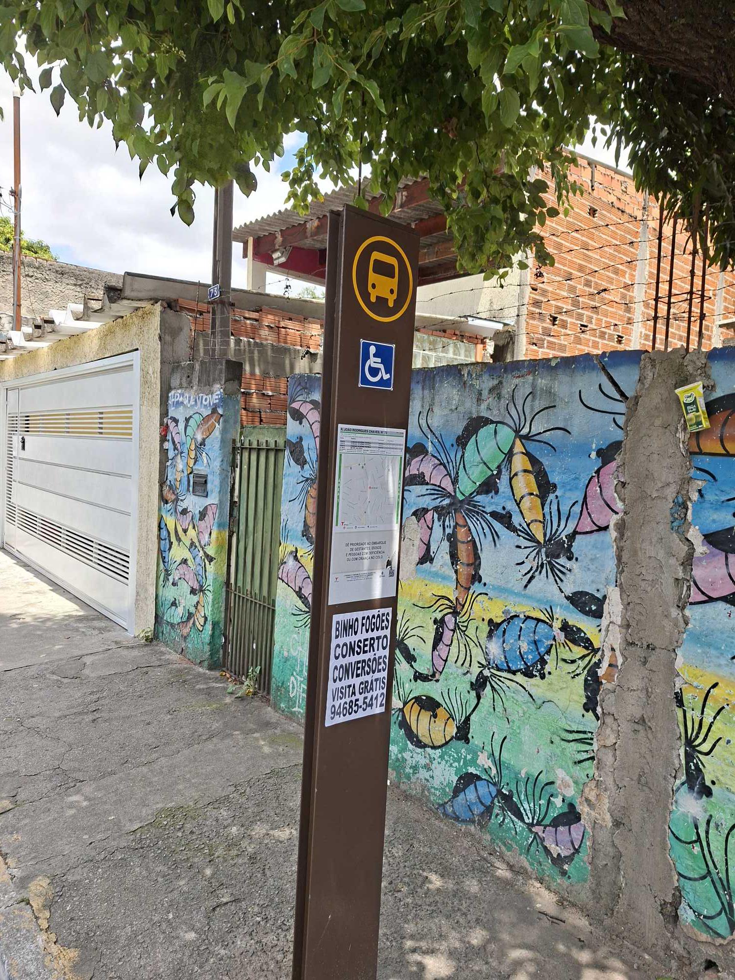 Taken by Anonymous
See R. João Rodrigues Chaves, 73 stop, Brasilândia, on the map
Public transit to R. João Rodrigues Chaves, 73 stop in Brasilândia
Looking for directions to R. João Rodrigues Chaves, 73 in Brasilândia, Brazil?
Download the Moovit App to find the current schedule and step-by-step directions for Bus or Train routes that pass through R. João Rodrigues Chaves, 73.
Looking for the nearest stops closest to R. João Rodrigues Chaves, 73 ? Check out this list of closest stops to your destination: R. dos Morgados; Avenida Ministro Petrônio Portela; R. Parapuã; Estr. do Sabão; Piqueri.
Bus: 1024-10, 1025-10, 8215-10, 847P-42, 9789-10, N144-11, 917M-31, 1026-10, 9014-42, N141-11, 975A-10, 978T-10, 8542-21.Train: LINHA 7.
We make riding on public transit to R. João Rodrigues Chaves, 73 easy, which is why over 1.7 billion users, including users in Brasilândia trust Moovit as the best app for public transit.
Use the app to navigate to popular places including to the airport, hospital, stadium, grocery store, mall, coffee shop, school, college, and university.
The first line to this stop is N144-11, at 3:22 AM, and the last line is N144-11 at 2:52 AM.
This stop serves SPTrans’s lines
- R. dos Morgados, 134,
- Avenida Ministro Petrônio Portela, 2247,
- R. Parapuã, 807,
- Estr. do Sabão, 819
Bus stops near R. João Rodrigues Chaves, 73 stop
- Piqueri
Train station near R. João Rodrigues Chaves, 73 station
- Av. Itaquera, 7547,
- Estrada da Vargem Grande - R. João de Tullio,
- Campo Limpo Paulista,
- Av. Prof. Francisco Morato,
- Av. Mandaqui, 197,
- Terminal Mercado,
- Cidade Universitária,
- Terminal Metrô Tucuruvi 3,
- Centro de Reabilitação Lucy Montoro,
- Rua Barão do Rio Branco 255,
- R. Otávio Tarquínio de Souza, 377,
- Jangadeiro C/B,
- Parada 1 - Granja Julieta C/B,
- R. Paes Leme, 79,
- Av. Mário de Andrade, 1350,
- J. K. B/C,
- Parada Metrô Tatuapé,
- Av. Jorn. Paulo Zing, 1153,
- Júlio Prestes,
- Hospital São Paulo
Popular public transit stations in Brasilândia
Get around Brasilândia by public transit!
Traveling around Brasilândia has never been so easy. See step by step directions as you travel to any attraction, street or major public transit station. View bus and train schedules, arrival times, service alerts and detailed routes on a map, so you know exactly how to get to anywhere in Brasilândia.
When traveling to any destination around Brasilândia use Moovit's Live Directions with Get Off Notifications to know exactly where and how far to walk, how long to wait for your line, and how many stops are left. Moovit will alert you when it's time to get off — no need to constantly re-check whether yours is the next stop.
Wondering how to use public transit in Brasilândia or how to pay for public transit in Brasilândia? Moovit public transit app can help you navigate your way with public transit easily, and at minimum cost. It includes public transit fees, ticket prices, and costs. Looking for a map of Brasilândia public transit lines? Moovit public transit app shows all public transit maps in Brasilândia with all Bus, Train, Metro, Light Rail, Ferry, Gondola, Cable Car and Funicular routes and stops on an interactive map.
Sao Paulo Region has 8 transit type(s), including: Bus, Train, Metro, Light Rail, Ferry, Gondola, Cable Car and Funicular, operated by several transit agencies, including SPTrans, CPTM, ViaMobilidade, Aquático SP, SPTRANS, EMTU, ViaQuatro, Auto Ônibus Moratense, GRU Airport (Aeroporto de Guarulhos), Auto Viação Urubupungá (Cajamar), Viação Cometa, Auto Viação Urubupungá (Osasco), Viação Ultra / Rápido Brasil, Auto Viação Urubupungá (Santana de Parnaíba) and Expresso Luxo