R. José Bajerski, 71 stop - Thursday schedule
| Line | Direction | Time |
|---|---|---|
| 924 SANTA FELICIDADE / SANTA CÂNDIDA | Terminal Santa Cândida → Terminal Santa Felicidade | 5:24 AM |
| 182 ABRANCHES | Terminal Barreirinha → Praça Tiradentes | 5:35 AM |
| 924 SANTA FELICIDADE / SANTA CÂNDIDA | Terminal Santa Cândida → Terminal Santa Felicidade | 5:41 AM |
| 182 ABRANCHES | Terminal Barreirinha → Praça Tiradentes | 5:47 AM |
| 924 SANTA FELICIDADE / SANTA CÂNDIDA | Terminal Santa Cândida → Terminal Santa Felicidade | 5:56 AM |
| 182 ABRANCHES | Terminal Barreirinha → Praça Tiradentes | 6:03 AM |
| 924 SANTA FELICIDADE / SANTA CÂNDIDA | Terminal Santa Cândida → Terminal Santa Felicidade | 6:11 AM |
| 182 ABRANCHES | Terminal Barreirinha → Praça Tiradentes | 6:19 AM |
| 924 SANTA FELICIDADE / SANTA CÂNDIDA | Terminal Santa Cândida → Terminal Santa Felicidade | 6:29 AM |
| 182 ABRANCHES | Terminal Barreirinha → Praça Tiradentes | 6:36 AM |
| 924 SANTA FELICIDADE / SANTA CÂNDIDA | Terminal Santa Cândida → Terminal Santa Felicidade | 6:45 AM |
| 182 ABRANCHES | Terminal Barreirinha → Praça Tiradentes | 6:53 AM |
| 924 SANTA FELICIDADE / SANTA CÂNDIDA | Terminal Santa Cândida → Terminal Santa Felicidade | 7:01 AM |
| 182 ABRANCHES | Terminal Barreirinha → Praça Tiradentes | 7:10 AM |
| 924 SANTA FELICIDADE / SANTA CÂNDIDA | Terminal Santa Cândida → Terminal Santa Felicidade | 7:22 AM |
| 182 ABRANCHES | Terminal Barreirinha → Praça Tiradentes | 7:29 AM |
| 924 SANTA FELICIDADE / SANTA CÂNDIDA | Terminal Santa Cândida → Terminal Santa Felicidade | 7:44 AM |
| 182 ABRANCHES | Terminal Barreirinha → Praça Tiradentes | 7:48 AM |
| 924 SANTA FELICIDADE / SANTA CÂNDIDA | Terminal Santa Cândida → Terminal Santa Felicidade | 8:07 AM |
| 182 ABRANCHES | Terminal Barreirinha → Praça Tiradentes | 8:09 AM |
| 924 SANTA FELICIDADE / SANTA CÂNDIDA | Terminal Santa Cândida → Terminal Santa Felicidade | 8:30 AM |
| 182 ABRANCHES | Terminal Barreirinha → Praça Tiradentes | 8:30 AM |
| 924 SANTA FELICIDADE / SANTA CÂNDIDA | Terminal Santa Cândida → Terminal Santa Felicidade | 8:48 AM |
| 182 ABRANCHES | Terminal Barreirinha → Praça Tiradentes | 8:50 AM |
| 924 SANTA FELICIDADE / SANTA CÂNDIDA | Terminal Santa Cândida → Terminal Santa Felicidade | 9:03 AM |
Directions to R. José Bajerski, 71 stop (Taboão) with public transit
The following transit lines have routes that pass near R. José Bajerski, 71
 Bus: 182 ABRANCHES, 924 SANTA FELICIDADE / SANTA CÂNDIDA, 189 MAD. ABRANCHES, K01 ITAPERUÇU / GUADALUPE (TAMANDARÉ / MINÉRIOS), A06 TAMANDARÉ / GUADALUPE (MINÉRIOS).
How to get to R. José Bajerski, 71 stop by bus?
Click on the bus route to see step by step directions with maps, line arrival times and updated time schedules.
Bus stops near R. José Bajerski, 71 stop in Taboão
- R. José Bajerski, 109, 1 min walk,
- Rod. dos Minérios PR-092, 741, 4 min walk,
- Rua Prodócimo Lago, 426-526, 7 min walk,
Bus lines to R. José Bajerski, 71 stop in Taboão
- 182 ABRANCHES, Parque São Lourenço → Terminal Barreirinha,
- 189 MAD. ABRANCHES, Praça Rui Barbosa ↺ Abranches (Circular),
- 924 SANTA FELICIDADE / SANTA CÂNDIDA, Terminal Santa Cândida → Terminal Santa Felicidade,
- K01 ITAPERUÇU / GUADALUPE (TAMANDARÉ / MINÉRIOS), Itaperuçu → Terminal Guadalupe,
- A06 TAMANDARÉ / GUADALUPE (MINÉRIOS), Terminal Tamandaré → Terminal Guadalupe,
- 183 JARDIM CHAPARRAL, Jardim Chaparral → Praça Tiradentes,
- 184 VILA SUÍÇA, Praça Tiradentes → Vila Suíça,
- 247 HOSPITAL VETERINÁRIO, Terminal Barreirinha ↺ Hospital Veterinário (Circular),
- K71 ITAPERUÇU / PRAÇA 19, Praça 19 → Campo Grande,
- L71 RIO BRANCO / PRAÇA 19, Rio Branco → Praça 19 (via Itaperuçu),
- K72 ITAPERUÇU / PRAÇA 19 (DIRETO), Praça 19 → Itaperuçu,
- L72 RIO BRANCO / PRAÇA 19 (DIRETO), Palmeirinhas → Praça 19,
- L79 RIO BRANCO / PRAÇA 19 (VIA TAMANDARÉ), Nossa Senhora de Fátima → Praça 19,
- 1560-500, Cerro Azul → Curitiba,
- A73 JARDIM MARROCOS / PRAÇA 19, Jardim Marrocos → Praça 19,
What are the closest stations to R. José Bajerski, 71?
The closest stations to R. José Bajerski, 71 are:
- R. José Bajerski, 109 stop is 28 meters away, 1 min walk.
- Rod. dos Minérios PR-092, 741 stop is 297 meters away, 4 min walk.
- Rua Prodócimo Lago, 426-526 stop is 517 meters away, 7 min walk.
Which bus lines stop near R. José Bajerski, 71?
These bus lines stop near R. José Bajerski, 71: 182 ABRANCHES, 924 SANTA FELICIDADE / SANTA CÂNDIDA.
What’s the nearest bus station to R. José Bajerski, 71 in Taboão?
The nearest bus station to R. José Bajerski, 71 in Taboão is R. José Bajerski, 109. It’s a 1 min walk away.
What time is the first bus to R. José Bajerski, 71 in Taboão?
The L71 RIO BRANCO / PRAÇA 19 is the first bus that goes to R. José Bajerski, 71 in Taboão. It stops nearby at 3:03 AM.
What time is the last bus to R. José Bajerski, 71 in Taboão?
The K71 ITAPERUÇU / PRAÇA 19 is the last bus that goes to R. José Bajerski, 71 in Taboão. It stops nearby at 3:59 AM.
R. José Bajerski, 71 station
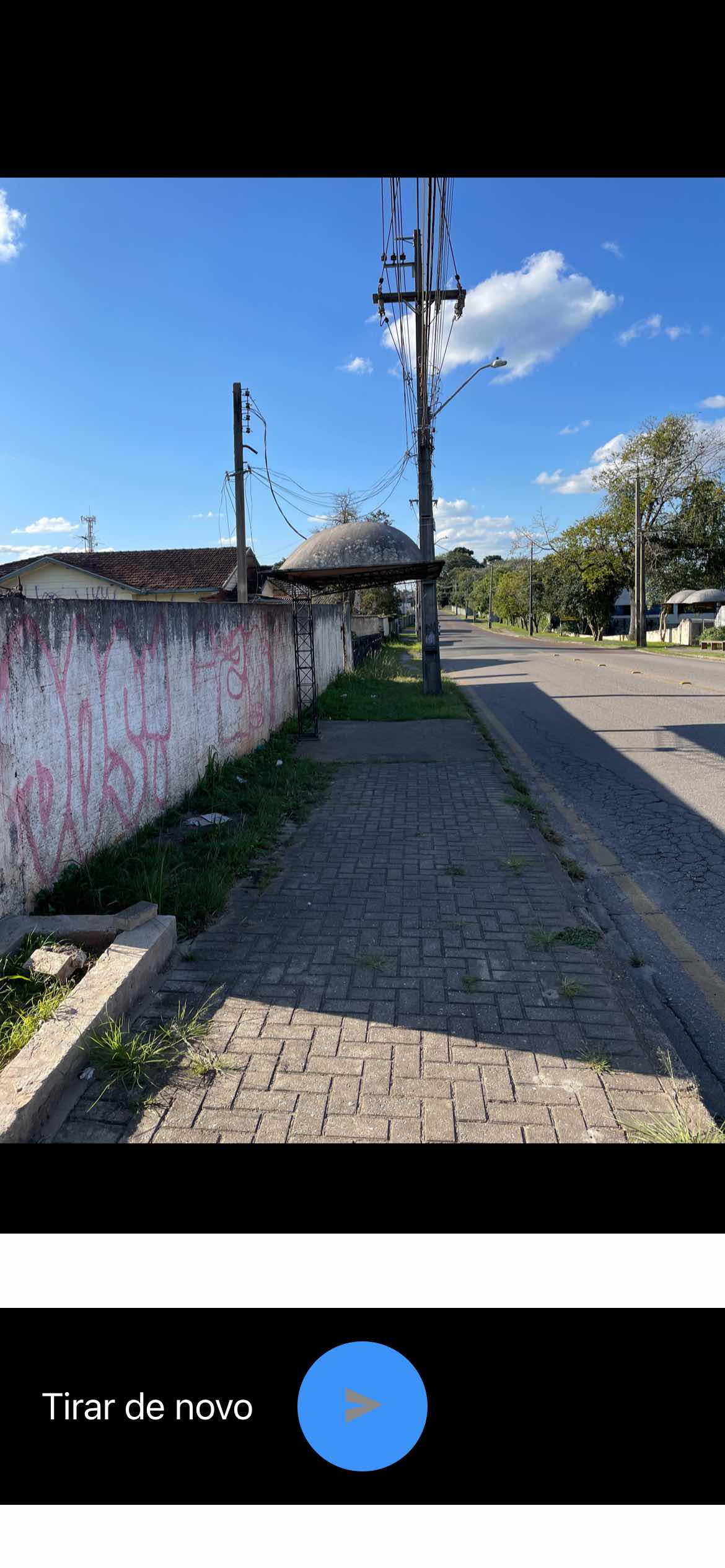 Taken by Anonymous
See R. José Bajerski, 71 stop, Taboão, on the map
Public transit to R. José Bajerski, 71 stop (ID: 120280) in Taboão
Looking for directions to R. José Bajerski, 71 in Taboão, Brazil?
Download the Moovit App to find the current schedule and step-by-step directions for Bus routes that pass through R. José Bajerski, 71.
Looking for the nearest stops closest to R. José Bajerski, 71 ? Check out this list of closest stops to your destination: R. José Bajerski; Rod. dos Minérios PR-092; Rua Prodócimo Lago.
Bus: 182 ABRANCHES, 924 SANTA FELICIDADE / SANTA CÂNDIDA, 189 MAD. ABRANCHES, K01 ITAPERUÇU / GUADALUPE (TAMANDARÉ / MINÉRIOS), A06 TAMANDARÉ / GUADALUPE (MINÉRIOS), 183 JARDIM CHAPARRAL, 184 VILA SUÍÇA, 247 HOSPITAL VETERINÁRIO, A73 JARDIM MARROCOS / PRAÇA 19.
We make riding on public transit to R. José Bajerski, 71 easy, which is why over 1.7 billion users, including users in Taboão trust Moovit as the best app for public transit.
Use the app to navigate to popular places including to the airport, hospital, stadium, grocery store, mall, coffee shop, school, college, and university.
R. José Bajerski, 71 stop’s code is 120280
The first line to this stop is 924 SANTA FELICIDADE / SANTA CÂNDIDA, at 5:24 AM, and the last line is 924 SANTA FELICIDADE / SANTA CÂNDIDA at 12:42 AM.
Rodovia dos Minérios, Curitiba, Brazil
This stop serves URBS (Cartões bancários / Cartão URBS)’s lines
Popular routes from R. José Bajerski, 71 stop, Taboão
- R. José Bajerski, 109,
- Rod. dos Minérios PR-092, 741,
- Rua Prodócimo Lago, 426-526
Bus stops near R. José Bajerski, 71 stop
- PUC (Linha Verde),
- Rua Antônio Bosa, 181-255,
- Av. Rui Barbosa, 11605,
- Rod. Deputado João Leopoldo Jacomel, 12753,
- Rod. BR-476, 20862,
- Rua Miguel Sirota - Vila Do Sossego,
- Rodovia Pr 281 - Gramapar Grameira,
- R. Padre Germano Mayer, 423,
- Al. Doutor Carlos de Carvalho, 805,
- Retiro dos Padres - R. Brasílio Cuman, 2357,
- R. Deputado Mário de Barros, 1700,
- Av. Visconde de Guarapuava, 5000,
- R. João Bettega, 5124,
- Marginal da Rod. Curitiba Ponta Grossa BR-277, 2497,
- Av. Prefeito Erasto Gaertner, 1391,
- R. Emiliano Perneta, 492,
- Carlos Gomes,
- R. Lamenha Lins, 1283,
- Rod. Régis Bittencourt BR-116, 26505,
- Av. Rui Barbosa, 2661
Popular public transit stations in Taboão
Get around Taboão by public transit!
Traveling around Taboão has never been so easy. See step by step directions as you travel to any attraction, street or major public transit station. View bus and train schedules, arrival times, service alerts and detailed routes on a map, so you know exactly how to get to anywhere in Taboão.
When traveling to any destination around Taboão use Moovit's Live Directions with Get Off Notifications to know exactly where and how far to walk, how long to wait for your line, and how many stops are left. Moovit will alert you when it's time to get off — no need to constantly re-check whether yours is the next stop.
Wondering how to use public transit in Taboão or how to pay for public transit in Taboão? Moovit public transit app can help you navigate your way with public transit easily, and at minimum cost. It includes public transit fees, ticket prices, and costs. Looking for a map of Taboão public transit lines? Moovit public transit app shows all public transit maps in Taboão with all Bus and Cable Car routes and stops on an interactive map.
Curitiba Region has 2 transit type(s), including: Bus and Cable Car, operated by several transit agencies, including Sistema Integrado de Mobilidade (URBS), Sistema Integrado de Mobilidade (AMEP), URBS (Cartões bancários e Dinheiro), URBS (Cartões bancários / Cartão URBS), AMEP (Cartões bancários / Cartão MetroCard), AMEP (Cartões bancários / Cartão MetroCard / Dinheiro), Viação Colombo (Dinheiro), TRIAR (Cartão TRIAR / Dinheiro), Empresa Curitiba Cerro Azul (Dinheiro), Expresso Penha (Dinheiro), Empresa Campo Alto Tijucas (Dinheiro), Auto Viação São José (Cartão VEM / Dinheiro), BRT S/A (Cartão VEM / Dinheiro), TransPiedade (Cartão Cidadão / Dinheiro) and Oceânica Sul (Cartão Transporte / Dinheiro)