How to get to R. Kugler-Hütte by bus?
Click on the bus route to see step by step directions with maps, line arrival times and updated time schedules.
From Karlsruhe Primark, Mühlhausen An Der Enz
94 minFrom Holzwurm Inh. Pino Catania, Roßwag
124 minFrom Rkh Kliniken, Verwaltungsgemeinschaft Bretten
48 minFrom Gartencenter Streb, Pforzheim
77 minFrom Amazon Fulfillment Center - STR1, Eutingen
98 minFrom Freibad Niefern, Niefern-Öschelbronn
110 minFrom Möbelzentrum Pforzheim, Eutingen
76 minFrom Wartbergbad, Pforzheim
83 minFrom Pforzheim Wartberg Freibad (Wartbergfreibad), Pforzheim
86 minFrom Enzkreisklinik Mühlacker, Vvg Der Stadt Mühlacker
106 min
How to get to R. Kugler-Hütte by train?
Click on the train route to see step by step directions with maps, line arrival times and updated time schedules.
From Rkh Kliniken, Verwaltungsgemeinschaft Bretten
48 minFrom Gartencenter Streb, Pforzheim
109 minFrom Freibad Niefern, Niefern-Öschelbronn
94 minFrom Möbelzentrum Pforzheim, Eutingen
105 minFrom Wartbergbad, Pforzheim
119 minFrom Pforzheim Wartberg Freibad (Wartbergfreibad), Pforzheim
123 minFrom Enzkreisklinik Mühlacker, Vvg Der Stadt Mühlacker
87 min
Train stations near R. Kugler-Hütte in Flehingen
What are the closest stations to R. Kugler-Hütte?
The closest stations to R. Kugler-Hütte are:
- Bauerbach (Baden) Gleis 1 is 2439 meters away, 31 min walk.
- Bauerbach (Baden) is 2439 meters away, 31 min walk.
Which bus lines stop near R. Kugler-Hütte?
These bus lines stop near R. Kugler-Hütte: 143, 144.
Which train line stops near R. Kugler-Hütte?
S4 (Flehingen)
Which light rail line stops near R. Kugler-Hütte?
S4 (Öhringen Cappel)
What time is the first light rail to R. Kugler-Hütte in Flehingen?
The S4 is the first light rail that goes to R. Kugler-Hütte in Flehingen. It stops nearby at 4:54 AM.
What time is the last light rail to R. Kugler-Hütte in Flehingen?
The S4 is the last light rail that goes to R. Kugler-Hütte in Flehingen. It stops nearby at 1:12 AM.
What time is the first train to R. Kugler-Hütte in Flehingen?
The S4 is the first train that goes to R. Kugler-Hütte in Flehingen. It stops nearby at 4:54 AM.
What time is the last train to R. Kugler-Hütte in Flehingen?
The S4 is the last train that goes to R. Kugler-Hütte in Flehingen. It stops nearby at 2:28 AM.
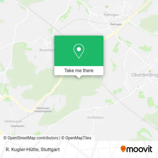
See R. Kugler-Hütte, Flehingen, on the map
Public Transit to R. Kugler-Hütte in Flehingen
Wondering how to get to R. Kugler-Hütte in Flehingen? Moovit helps you find the best way to get to R. Kugler-Hütte with step-by-step directions from the nearest public transit station.
Moovit provides free maps and live directions to help you navigate through your city. View schedules, routes, timetables, and find out how long does it take to get to R. Kugler-Hütte in real time.
Looking for the nearest stop or station to R. Kugler-Hütte? Check out this list of stops closest to your destination: Bauerbach (Baden) Gleis 1; Bauerbach (Baden).
Bus: 143, 144.Train: S4, RB 41, RE 45, E, RB41, RE45.Light Rail: S4.
Want to see if there’s another route that gets you there at an earlier time? Moovit helps you find alternative routes or times. Get directions from and directions to R. Kugler-Hütte easily from the Moovit App or Website.
We make riding to R. Kugler-Hütte easy, which is why over 1.5 million users, including users in Flehingen, trust Moovit as the best app for public transit. You don’t need to download an individual bus app or train app, Moovit is your all-in-one transit app that helps you find the best bus time or train time available.
For information on prices of bus, train and light rail, costs and ride fares to R. Kugler-Hütte, please check the Moovit app.
Use the app to navigate to popular places including to the airport, hospital, stadium, grocery store, mall, coffee shop, school, college, and university.
Location: Flehingen, Stuttgart
- Brettener Spitze,
- Talbrücke Zigeunergraben,
- Heidenbuckel,
- SV Germania,
- Waldenser Besen,
- Bunyu,
- Wolfmüller,
- Im Bruch,
- Mitarbeiterparkplatz,
- Wolfmüller Spedition & Logistik,
- Grahm Verwaltungs,
- Globalkat,
- Mitarbeiterparkplatz,
- Mitarbeiterparkplatz,
- Mehrzweckhalle Bauerbach,
- Basketballplatz,
- Mitarbeiterparkplatz,
- Metallform,
- Dietrich,
- Di-Cycles GmbH&Co.Kg
Places Near R. Kugler-Hütte (Flehingen)
- Pariser Platz Stuttgart, Stuttgart-Mitte,
- SI-Centrum, Möhringen,
- Schleyerhalle, Bad Cannstatt,
- Hanns-Martin-Schleyer-Halle (Stuttgart Hans-Martin-Schleyerhalle), Bad Cannstatt,
- Porsche Museum, Zuffenhausen,
- Mercedes-Benz Museum, Bad Cannstatt,
- Wilhelma (U-Bahn Wilhelma), Bad Cannstatt,
- Porsche-Arena, Bad Cannstatt,
- Im Wizemann (Halle), Bad Cannstatt,
- Gasometer Pforzheim, Pforzheim,
- Hanns-Martin-Schleyer-Halle, Bad Cannstatt,
- Geilhaus Haus 33a, Reutlingen-Betzingen,
- Klinikum Stuttgart - Katharinenhospital, Stuttgart-Mitte,
- Waldfriedhof, Degerloch,
- Mercedes-Benz Museum (Mercedes Museum Stuttgart), Bad Cannstatt,
- Gleis 101/102 (tief), Stuttgart-Mitte,
- Marmorsaal Im Weissenburgpark, Stuttgart-Süd,
- Mettingen Eros-Center Puff Laufhaus, Esslingen Am Neckar,
- Hauptbahnhof Stuttgart, Stuttgart-Mitte,
- FlixBus Haltestelle, Stuttgart
How to get to popular places in Stuttgart with public transit
Get around Flehingen by public transit!
Traveling around Flehingen has never been so easy. See step by step directions as you travel to any attraction, street or major public transit station. View bus and train schedules, arrival times, service alerts and detailed routes on a map, so you know exactly how to get to anywhere in Flehingen.
When traveling to any destination around Flehingen use Moovit's Live Directions with Get Off Notifications to know exactly where and how far to walk, how long to wait for your line, and how many stops are left. Moovit will alert you when it's time to get off — no need to constantly re-check whether yours is the next stop.
Wondering how to use public transit in Flehingen or how to pay for public transit in Flehingen? Moovit public transit app can help you navigate your way with public transit easily, and at minimum cost. It includes public transit fees, ticket prices, and costs. Looking for a map of Flehingen public transit lines? Moovit public transit app shows all public transit maps in Flehingen with all Bus, Train, Subway, Light Rail, Ferry, S-Bahn and Funicular routes and stops on an interactive map.
Stuttgart has 7 transit type(s), including: Bus, Train, Subway, Light Rail, Ferry, S-Bahn and Funicular, operated by several transit agencies, including SSB - Stadtbahn, SSB, SSB - Seilbahn / Zacke, S-Bahn Stuttgart, Rhein-Neckar-Verkehr GmbH (rnv), Karlsruher Verkehrsverbund, DB AG, DB Regiobus BW, Arverio Baden-Württemberg GmbH, DB RegioNetz Verkehrs GmbH Westfrankenbahn, DB Regio AG Baden-Württemberg, Südwestdeutsche Verkehrs-AG, DB Regio AG Mitte Region Hessen, DB and Bodensee-Oberschwaben-Bahn