R. Luís Gois, 181 stop - Wednesday schedule
| Line | Direction | Time |
|---|---|---|
| 4716-10 | Metrô Tamanduateí | 5:29 AM |
| 4716-10 | Metrô Tamanduateí | 5:49 AM |
| 4716-10 | Metrô Tamanduateí | 6:05 AM |
| 4716-10 | Metrô Tamanduateí | 6:20 AM |
| 4716-10 | Metrô Tamanduateí | 6:31 AM |
| 4716-10 | Metrô Tamanduateí | 6:42 AM |
| 4716-10 | Metrô Tamanduateí | 6:53 AM |
| 4716-10 | Metrô Tamanduateí | 7:05 AM |
| 4716-10 | Metrô Tamanduateí | 7:20 AM |
| 4716-10 | Metrô Tamanduateí | 7:29 AM |
| 4716-10 | Metrô Tamanduateí | 7:38 AM |
| 4716-10 | Metrô Tamanduateí | 7:49 AM |
| 4716-10 | Metrô Tamanduateí | 7:57 AM |
| 4716-10 | Metrô Tamanduateí | 8:08 AM |
| 4716-10 | Metrô Tamanduateí | 8:19 AM |
| 4716-10 | Metrô Tamanduateí | 8:29 AM |
| 4716-10 | Metrô Tamanduateí | 8:39 AM |
| 4716-10 | Metrô Tamanduateí | 8:50 AM |
| 4716-10 | Metrô Tamanduateí | 9:02 AM |
| 4716-10 | Metrô Tamanduateí | 9:14 AM |
| 4716-10 | Metrô Tamanduateí | 9:26 AM |
| 4716-10 | Metrô Tamanduateí | 9:38 AM |
| 4716-10 | Metrô Tamanduateí | 9:50 AM |
| 4716-10 | Metrô Tamanduateí | 10:02 AM |
| 4716-10 | Metrô Tamanduateí | 10:13 AM |
Directions to R. Luís Gois, 181 stop (Saúde) with public transit
The following transit lines have routes that pass near R. Luís Gois, 181
 Bus: 4115-10, 4491-21, 4716-10, 4114-10, 477P-10.
- Metro: LINHA 1, LINHA 2, LINHA 5.
How to get to R. Luís Gois, 181 stop by bus?
Click on the bus route to see step by step directions with maps, line arrival times and updated time schedules.
How to get to R. Luís Gois, 181 stop by metro?
Click on the metro route to see step by step directions with maps, line arrival times and updated time schedules.
Bus stops near R. Luís Gois, 181 stop in Saúde
- R. Luís Gois, 367, 3 min walk,
- R. Sto. Irineu, 544, 5 min walk,
- Av. Ricardo Jafet, 3086, 5 min walk,
- R. Guiratinga, 557, 6 min walk,
Metro stations near R. Luís Gois, 181 station in Saúde
- Santos-Imigrantes, 14 min walk,
- Santa Cruz, 15 min walk,
Bus lines to R. Luís Gois, 181 stop in Saúde
- 4716-10, Metrô Tamanduateí,
- 4114-10, Jd. da Saúde,
- 477P-10, Rio Pequeno,
- 4115-10, Pça. da República,
- 4491-10, Vl. Liviero,
- 4491-21, Metrô Santos Imigrantes,
- 4718-10, Metrô Sta. Cruz,
What are the closest stations to R. Luís Gois, 181?
The closest stations to R. Luís Gois, 181 are:
- R. Luís Gois, 367 stop is 190 meters away, 3 min walk.
- R. Sto. Irineu, 544 stop is 365 meters away, 5 min walk.
- Av. Ricardo Jafet, 3086 stop is 366 meters away, 5 min walk.
- R. Guiratinga, 557 stop is 454 meters away, 6 min walk.
- Santos-Imigrantes station is 1028 meters away, 14 min walk.
- Santa Cruz station is 1164 meters away, 15 min walk.
Which bus lines stop near R. Luís Gois, 181?
These bus lines stop near R. Luís Gois, 181: 4115-10, 4491-21, 4716-10.
Which metro lines stop near R. Luís Gois, 181?
These metro lines stop near R. Luís Gois, 181: LINHA 1, LINHA 2, LINHA 5.
What’s the nearest metro station to R. Luís Gois, 181 in Saúde?
The nearest metro station to R. Luís Gois, 181 in Saúde is Santos-Imigrantes. It’s a 14 min walk away.
What’s the nearest bus station to R. Luís Gois, 181 in Saúde?
The nearest bus station to R. Luís Gois, 181 in Saúde is R. Luís Gois, 367. It’s a 3 min walk away.
What time is the first metro to R. Luís Gois, 181 in Saúde?
The LINHA 5 is the first metro that goes to R. Luís Gois, 181 in Saúde. It stops nearby at 4:40 AM.
What time is the last metro to R. Luís Gois, 181 in Saúde?
The LINHA 1 is the last metro that goes to R. Luís Gois, 181 in Saúde. It stops nearby at 12:35 AM.
What time is the first bus to R. Luís Gois, 181 in Saúde?
The 477P-10 is the first bus that goes to R. Luís Gois, 181 in Saúde. It stops nearby at 4:03 AM.
What time is the last bus to R. Luís Gois, 181 in Saúde?
The 477P-10 is the last bus that goes to R. Luís Gois, 181 in Saúde. It stops nearby at 2:43 AM.
R. Luís Gois, 181 station
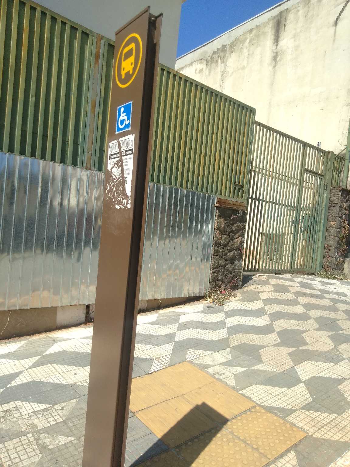 Taken by Cristiane
See R. Luís Gois, 181 stop, Saúde, on the map
Public transit to R. Luís Gois, 181 stop in Saúde
Looking for directions to R. Luís Gois, 181 in Saúde, Brazil?
Download the Moovit App to find the current schedule and step-by-step directions for Bus or Metro routes that pass through R. Luís Gois, 181.
Looking for the nearest stops closest to R. Luís Gois, 181 ? Check out this list of closest stops to your destination: R. Luís Gois; R. Sto. Irineu; Av. Ricardo Jafet; R. Guiratinga; Santos-Imigrantes; Santa Cruz.
Bus: 4115-10, 4491-21, 4716-10, 4114-10, 477P-10, 4491-10, 4718-10.Metro: LINHA 1, LINHA 2, LINHA 5.
We make riding on public transit to R. Luís Gois, 181 easy, which is why over 1.7 billion users, including users in Saúde trust Moovit as the best app for public transit.
Use the app to navigate to popular places including to the airport, hospital, stadium, grocery store, mall, coffee shop, school, college, and university.
The first line to this stop is 4716-10, at 5:29 AM, and the last line is 4716-10 at 12:38 AM.
209 Rua Luis Gois, São Paulo, Brazil
This stop serves SPTrans’s lines
- R. Luís Gois, 367,
- R. Sto. Irineu, 544,
- Av. Ricardo Jafet, 3086,
- R. Guiratinga, 557
Bus stops near R. Luís Gois, 181 stop
- Santos-Imigrantes,
- Santa Cruz
Metro stations near R. Luís Gois, 181 station
- Avenida Brigadeiro Luís Antônio , 4008,
- Ana Rosa,
- Rua Jerônimo Almeida Silveira 35,
- R. Da. Ana Flora Pinheiro de Souza, 76,
- Av. Olavo Fontoura, 1400,
- R. Castor, 51,
- Ponto Final Portal Oeste Il,
- Rua Baltazar Lisboa,,
- Eucaliptos B/C,
- Parada 2 - José Maria Lisboa C/B,
- Parada 1/2/3 - Concórdia,
- R. Visc. de Abaete, 79,
- Anhangabaú,
- R. Da. Ana Nery, 929,
- Rodovia Prefeito Francisco Ribeiro Nogueira Km 70,
- Praça Jurema • Metrô Sumaré,
- Guaianases,
- Rua Adolfo Gordo,
- Estrada Henrique Barbosa Ortiz 4100,
- Parada Matriz (São Bernardo)
Popular public transit stations in Saúde
Get around Saúde by public transit!
Traveling around Saúde has never been so easy. See step by step directions as you travel to any attraction, street or major public transit station. View bus and train schedules, arrival times, service alerts and detailed routes on a map, so you know exactly how to get to anywhere in Saúde.
When traveling to any destination around Saúde use Moovit's Live Directions with Get Off Notifications to know exactly where and how far to walk, how long to wait for your line, and how many stops are left. Moovit will alert you when it's time to get off — no need to constantly re-check whether yours is the next stop.
Wondering how to use public transit in Saúde or how to pay for public transit in Saúde? Moovit public transit app can help you navigate your way with public transit easily, and at minimum cost. It includes public transit fees, ticket prices, and costs. Looking for a map of Saúde public transit lines? Moovit public transit app shows all public transit maps in Saúde with all Bus, Train, Metro, Light Rail, Ferry, Gondola, Cable Car and Funicular routes and stops on an interactive map.
Sao Paulo Region has 8 transit type(s), including: Bus, Train, Metro, Light Rail, Ferry, Gondola, Cable Car and Funicular, operated by several transit agencies, including SPTrans, CPTM, ViaMobilidade, Aquático SP, SPTRANS, EMTU, ViaQuatro, Auto Ônibus Moratense, GRU Airport (Aeroporto de Guarulhos), Auto Viação Urubupungá (Cajamar), Viação Cometa, Auto Viação Urubupungá (Osasco), Viação Ultra / Rápido Brasil, Auto Viação Urubupungá (Santana de Parnaíba) and Expresso Luxo