R. Mandu, 50 stop - Wednesday schedule
| Line | Direction | Time |
|---|---|---|
| 2717-10 | Cangaíba | 5:13 AM |
| 2717-10 | Cangaíba | 5:24 AM |
| 2717-10 | Cangaíba | 5:35 AM |
| 2717-10 | Cangaíba | 5:47 AM |
| 2717-10 | Cangaíba | 5:56 AM |
| 2717-10 | Cangaíba | 6:06 AM |
| 2717-10 | Cangaíba | 6:16 AM |
| 2717-10 | Cangaíba | 6:26 AM |
| 2717-10 | Cangaíba | 6:36 AM |
| 2717-10 | Cangaíba | 6:47 AM |
| 2717-10 | Cangaíba | 6:55 AM |
| 2717-10 | Cangaíba | 7:05 AM |
| 2717-10 | Cangaíba | 7:16 AM |
| 2717-10 | Cangaíba | 7:28 AM |
| 2717-10 | Cangaíba | 7:39 AM |
| 2717-10 | Cangaíba | 7:51 AM |
| 2717-10 | Cangaíba | 8:02 AM |
| 2717-10 | Cangaíba | 8:11 AM |
| 2717-10 | Cangaíba | 8:20 AM |
| 2717-10 | Cangaíba | 8:29 AM |
| 2717-10 | Cangaíba | 8:38 AM |
| 2717-10 | Cangaíba | 8:47 AM |
| 2717-10 | Cangaíba | 9:00 AM |
| 2717-10 | Cangaíba | 9:11 AM |
| 2717-10 | Cangaíba | 9:23 AM |
Directions to R. Mandu, 50 stop (Penha) with public transit
The following transit lines have routes that pass near R. Mandu, 50
 Bus: 2435-10, 273V-10, 2755-10, 3459-10, 3462-10.
- Metro: LINHA 3.
- Train: LINHA 12, 13 - JADE.
How to get to R. Mandu, 50 stop by bus?
Click on the bus route to see step by step directions with maps, line arrival times and updated time schedules.
How to get to R. Mandu, 50 stop by train?
Click on the train route to see step by step directions with maps, line arrival times and updated time schedules.
How to get to R. Mandu, 50 stop by metro?
Click on the metro route to see step by step directions with maps, line arrival times and updated time schedules.
Bus stops near R. Mandu, 50 stop in Penha
- Av. Amador Bueno da Veiga, 2924, 1 min walk,
- Av. Amador Bueno da Veiga, 3015, 1 min walk,
- R. Nilza, 64, 4 min walk,
Metro stations near R. Mandu, 50 station in Penha
- Patriarca-Vila Ré, 21 min walk,
Train stations near R. Mandu, 50 station in Penha
- Engenheiro Goulart, 51 min walk,
Bus lines to R. Mandu, 50 stop in Penha
- 273J-10, Jardim Romano - Metrô Penha,
- 273V-10, Parada Xv De Novembro - Metrô Penha,
- N303-11, Terminal A. E. Carvalho - Terminal Aricanduva,
- 2019-10, Parque Paineiras - Shopping Penha,
- 2203-10, Burgo Paulista - Shopping Penha,
- 2435-10, Jardim Coimbra - Terminal Aricanduva,
- 2451-10, Vila São Francisco - Terminal Aricanduva,
- 2720-10, Jardim Belém - Metrô Guilhermina/Esperança,
- 2720-31, Jardim Belém - Metrô Guilhermina/Esperança,
- 2755-10, Guaianases - Metrô Penha,
- 3459-10, Itaim Paulista - Terminal Parque Dom Pedro Ii,
- 3459-23, Metrô Bresser - Itaim Paulista,
- 3462-10, Vila Santana - Metrô Tatuapé,
- 3459-21, Cemitério Dom Saudade - Terminal Parque Dom Pedro Ii,
- 3459-24, Itaim Paulista - Terminal Parque Dom Pedro Ii,
- 3462-41, Jardim Vila Nova - Metrô Tatuapé,
- 2717-10, Cangaíba,
What are the closest stations to R. Mandu, 50?
The closest stations to R. Mandu, 50 are:
- Av. Amador Bueno da Veiga, 2924 stop is 34 meters away, 1 min walk.
- Av. Amador Bueno da Veiga, 3015 stop is 39 meters away, 1 min walk.
- R. Nilza, 64 stop is 268 meters away, 4 min walk.
- Patriarca-Vila Ré station is 1623 meters away, 21 min walk.
- Engenheiro Goulart station is 3987 meters away, 51 min walk.
Which bus lines stop near R. Mandu, 50?
These bus lines stop near R. Mandu, 50: 2435-10, 273V-10, 2755-10, 3459-10, 3462-10, 3462-41.
Which metro line stops near R. Mandu, 50?
LINHA 3 (Corinthians-Itaquera)
Which train line stops near R. Mandu, 50?
LINHA 12 (Calmon Viana)
What’s the nearest metro station to R. Mandu, 50 in Penha?
The nearest metro station to R. Mandu, 50 in Penha is Patriarca-Vila Ré. It’s a 21 min walk away.
What’s the nearest bus station to R. Mandu, 50 in Penha?
The nearest bus stations to R. Mandu, 50 in Penha are Av. Amador Bueno da Veiga, 2924 and Av. Amador Bueno da Veiga, 3015. The closest one is a 1 min walk away.
What time is the first metro to R. Mandu, 50 in Penha?
The LINHA 3 is the first metro that goes to R. Mandu, 50 in Penha. It stops nearby at 4:48 AM.
What time is the last metro to R. Mandu, 50 in Penha?
The LINHA 3 is the last metro that goes to R. Mandu, 50 in Penha. It stops nearby at 12:42 AM.
What time is the first train to R. Mandu, 50 in Penha?
The 13 - JADE is the first train that goes to R. Mandu, 50 in Penha. It stops nearby at 4:00 AM.
What time is the last train to R. Mandu, 50 in Penha?
The LINHA 12 is the last train that goes to R. Mandu, 50 in Penha. It stops nearby at 12:29 AM.
What time is the first bus to R. Mandu, 50 in Penha?
The N303-11 is the first bus that goes to R. Mandu, 50 in Penha. It stops nearby at 3:05 AM.
What time is the last bus to R. Mandu, 50 in Penha?
The N303-11 is the last bus that goes to R. Mandu, 50 in Penha. It stops nearby at 3:07 AM.
R. Mandu, 50 station
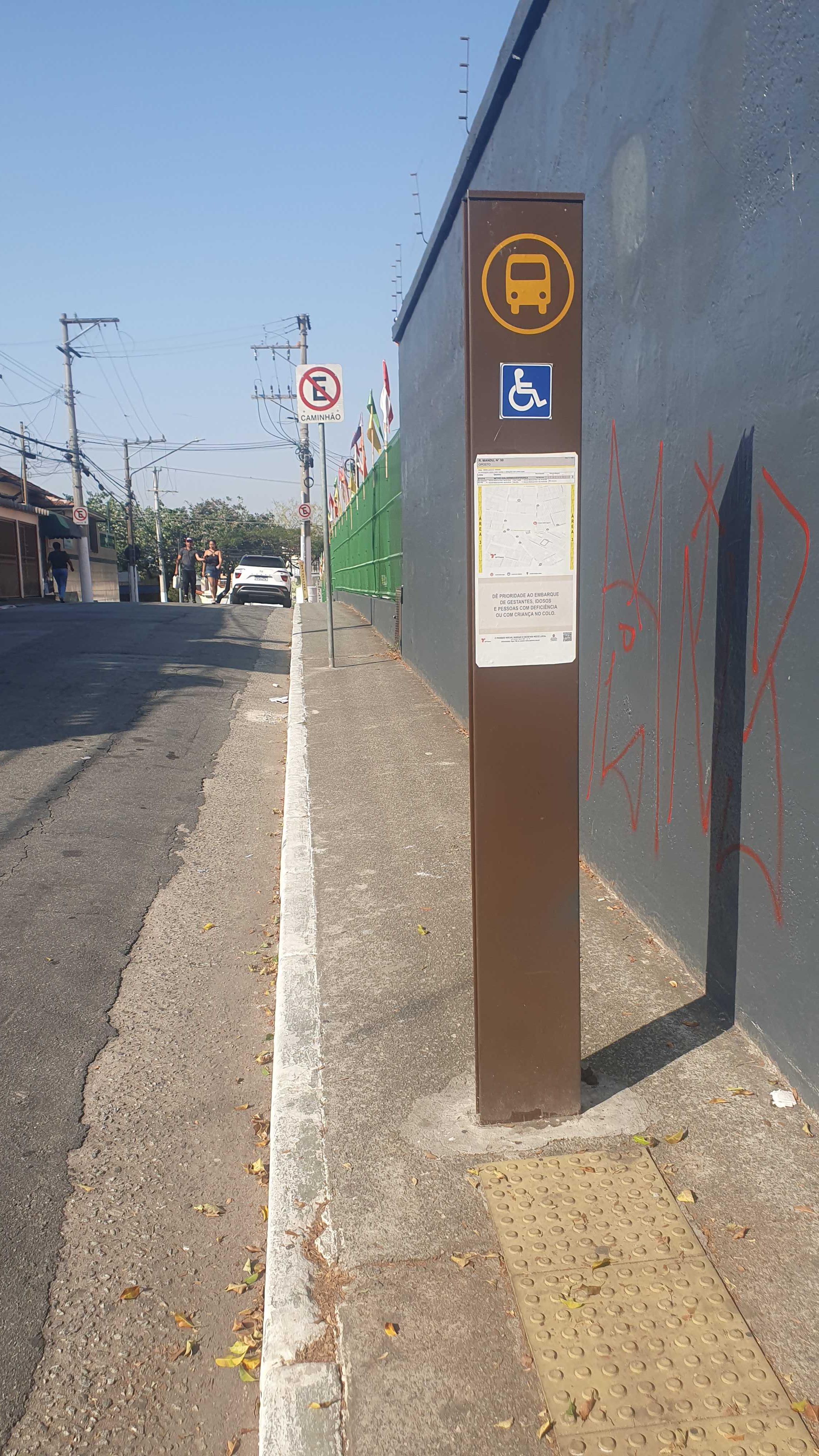 Taken by Anonymous
See R. Mandu, 50 stop, Penha, on the map
Public transit to R. Mandu, 50 stop in Penha
Looking for directions to R. Mandu, 50 in Penha, Brazil?
Download the Moovit App to find the current schedule and step-by-step directions for Bus, Metro or Train routes that pass through R. Mandu, 50.
Looking for the nearest stops closest to R. Mandu, 50 ? Check out this list of closest stops to your destination: Av. Amador Bueno da Veiga; Av. Amador Bueno da Veiga; R. Nilza; Patriarca-Vila Ré; Engenheiro Goulart.
Bus: 2435-10, 273V-10, 2755-10, 3459-10, 3462-10, 3462-41, 273J-10, N303-11, 2019-10, 2203-10, 3459-21, 3459-24, 2717-10.Metro: LINHA 3.Train: LINHA 12, 13 - JADE.
We make riding on public transit to R. Mandu, 50 easy, which is why over 1.7 billion users, including users in Penha trust Moovit as the best app for public transit.
Use the app to navigate to popular places including to the airport, hospital, stadium, grocery store, mall, coffee shop, school, college, and university.
The first line to this stop is 2717-10, at 5:13 AM, and the last line is 2717-10 at 1:27 AM.
58 Rua Mandu, São Paulo, Brazil
This stop serves SPTrans’s lines
- Av. Amador Bueno da Veiga, 2924,
- Av. Amador Bueno da Veiga, 3015,
- R. Nilza, 64
Bus stops near R. Mandu, 50 stop
- Patriarca-Vila Ré
Metro station near R. Mandu, 50 station
- Engenheiro Goulart
Train station near R. Mandu, 50 station
- Estrada Do Beija Flor (Fazenda Itapety),
- Rodovia Régis Bittencourt (Km 279),
- Avenida Senador Vitorino Freire,
- Penitenciaria,
- Avenida Jornalista Roberto Marinho,
- Avenida João Simão De Castro,
- Avenida Agenor Couto de Magalhães 125,
- Parada Afonso Braz - B/C 1,
- Avenida Brigadeiro Luís Antônio , 4008,
- Av. Agenor Couto de Magalhães, 319,
- ✈️ Aeroporto-Guarulhos,
- R. Abílio Soares, 1160,
- Terminal Metrô Itaquera Sul,
- Rua São Canuto,
- Adolfo Pinheiro,
- Berrini,
- Av. Alexios Jafet,
- Av. Ângelo Cristianini, 1178,
- Av. Nova Cantareira,
- Parada 1/2/3 - Júlio César da Silva
Popular public transit stations in Penha
Get around Penha by public transit!
Traveling around Penha has never been so easy. See step by step directions as you travel to any attraction, street or major public transit station. View bus and train schedules, arrival times, service alerts and detailed routes on a map, so you know exactly how to get to anywhere in Penha.
When traveling to any destination around Penha use Moovit's Live Directions with Get Off Notifications to know exactly where and how far to walk, how long to wait for your line, and how many stops are left. Moovit will alert you when it's time to get off — no need to constantly re-check whether yours is the next stop.
Wondering how to use public transit in Penha or how to pay for public transit in Penha? Moovit public transit app can help you navigate your way with public transit easily, and at minimum cost. It includes public transit fees, ticket prices, and costs. Looking for a map of Penha public transit lines? Moovit public transit app shows all public transit maps in Penha with all Bus, Train, Metro, Light Rail, Ferry, Gondola, Cable Car and Funicular routes and stops on an interactive map.
Sao Paulo Region has 8 transit type(s), including: Bus, Train, Metro, Light Rail, Ferry, Gondola, Cable Car and Funicular, operated by several transit agencies, including SPTrans, CPTM, ViaMobilidade, Aquático SP, SPTRANS, EMTU, ViaQuatro, Auto Ônibus Moratense, GRU Airport (Aeroporto de Guarulhos), Auto Viação Urubupungá (Cajamar), Viação Cometa, Auto Viação Urubupungá (Osasco), Viação Ultra / Rápido Brasil, Auto Viação Urubupungá (Santana de Parnaíba) and Expresso Luxo