R. Manoel Coelho da Silva, 137 stop - Wednesday schedule
| Line | Direction | Time |
|---|---|---|
| 4114-10 | Term. Pq. D. Pedro II | 5:07 AM |
| 4716-10 | Metrô Sta. Cruz | 5:15 AM |
| 4716-10 | Metrô Sta. Cruz | 5:32 AM |
| 4114-10 | Term. Pq. D. Pedro II | 5:37 AM |
| 4716-10 | Metrô Sta. Cruz | 5:44 AM |
| 4716-10 | Metrô Sta. Cruz | 5:56 AM |
| 4114-10 | Term. Pq. D. Pedro II | 6:07 AM |
| 4716-10 | Metrô Sta. Cruz | 6:08 AM |
| 4716-10 | Metrô Sta. Cruz | 6:20 AM |
| 4716-10 | Metrô Sta. Cruz | 6:32 AM |
| 4114-10 | Term. Pq. D. Pedro II | 6:37 AM |
| 4716-10 | Metrô Sta. Cruz | 6:41 AM |
| 4716-10 | Metrô Sta. Cruz | 6:50 AM |
| 4716-10 | Metrô Sta. Cruz | 6:59 AM |
| 4716-10 | Metrô Sta. Cruz | 7:10 AM |
| 4716-10 | Metrô Sta. Cruz | 7:20 AM |
| 4716-10 | Metrô Sta. Cruz | 7:31 AM |
| 4114-10 | Term. Pq. D. Pedro II | 7:35 AM |
| 4716-10 | Metrô Sta. Cruz | 7:43 AM |
| 4716-10 | Metrô Sta. Cruz | 7:53 AM |
| 4716-10 | Metrô Sta. Cruz | 8:03 AM |
| 4716-10 | Metrô Sta. Cruz | 8:14 AM |
| 4716-10 | Metrô Sta. Cruz | 8:27 AM |
| 4114-10 | Term. Pq. D. Pedro II | 8:30 AM |
| 4716-10 | Metrô Sta. Cruz | 8:38 AM |
Directions to R. Manoel Coelho da Silva, 137 stop (Cursino) with public transit
The following transit lines have routes that pass near R. Manoel Coelho da Silva, 137
 Bus: 4716-10, 4114-10, 4718-10, 4725-10, 4727-10.
- Metro: LINHA 2, LINHA 1, LINHA 5.
How to get to R. Manoel Coelho da Silva, 137 stop by bus?
Click on the bus route to see step by step directions with maps, line arrival times and updated time schedules.
How to get to R. Manoel Coelho da Silva, 137 stop by metro?
Click on the metro route to see step by step directions with maps, line arrival times and updated time schedules.
Bus stops near R. Manoel Coelho da Silva, 137 stop in Cursino
- R. Manoel Coelho da Silva, 88, 1 min walk,
- Av. Bosque da Saúde, 1787, 7 min walk,
- Av. Bosque da Saúde, 2043, 7 min walk,
- Av. do Cursino, 1055, 8 min walk,
Metro stations near R. Manoel Coelho da Silva, 137 station in Cursino
- Praça da Árvore, 10 min walk,
- Santa Cruz, 27 min walk,
- Alto do Ipiranga, 28 min walk,
Bus lines to R. Manoel Coelho da Silva, 137 stop in Cursino
- 4114-10, Term. Pq. D. Pedro II,
- 4716-10, Metrô Tamanduateí,
- 4718-10, Metrô Sta. Cruz,
- 4725-10, Shop. Ibirapuera,
- 4727-10, Metrô Pça. da Árvore,
- 4717-10, Metrô Saúde,
- 475M-10, Jardim Da Saúde - Terminal Amaral Gurgel,
- N538-11, Terminal Sacomã - Jardim Celeste (Circular),
- 5021-10, Água Funda - Terminal Sacomã,
- 5108-10, Jardim Celeste - Terminal Parque Dom Pedro Ii,
- 5108-21, Jardim Celeste - Metrô Alto Do Ipiranga (Circular),
- 236, Sao Paulo (Terminal Sacoma) - Diadema (Terminal Metropolitano Piraporinha),
What are the closest stations to R. Manoel Coelho da Silva, 137?
The closest stations to R. Manoel Coelho da Silva, 137 are:
- R. Manoel Coelho da Silva, 88 stop is 42 meters away, 1 min walk.
- Av. Bosque da Saúde, 1787 stop is 467 meters away, 7 min walk.
- Av. Bosque da Saúde, 2043 stop is 512 meters away, 7 min walk.
- Av. do Cursino, 1055 stop is 556 meters away, 8 min walk.
- Praça da Árvore station is 755 meters away, 10 min walk.
- Santa Cruz station is 2079 meters away, 27 min walk.
- Alto do Ipiranga station is 2148 meters away, 28 min walk.
Which bus line stops near R. Manoel Coelho da Silva, 137?
4716-10 (Metrô Sta. Cruz)
Which metro line stops near R. Manoel Coelho da Silva, 137?
LINHA 2 (Vila Prudente)
What’s the nearest metro station to R. Manoel Coelho da Silva, 137 in Cursino?
The nearest metro station to R. Manoel Coelho da Silva, 137 in Cursino is Praça da Árvore. It’s a 10 min walk away.
What’s the nearest bus station to R. Manoel Coelho da Silva, 137 in Cursino?
The nearest bus station to R. Manoel Coelho da Silva, 137 in Cursino is R. Manoel Coelho da Silva, 88. It’s a 1 min walk away.
What time is the first metro to R. Manoel Coelho da Silva, 137 in Cursino?
The LINHA 5 is the first metro that goes to R. Manoel Coelho da Silva, 137 in Cursino. It stops nearby at 4:41 AM.
What time is the last metro to R. Manoel Coelho da Silva, 137 in Cursino?
The LINHA 1 is the last metro that goes to R. Manoel Coelho da Silva, 137 in Cursino. It stops nearby at 12:37 AM.
What time is the first bus to R. Manoel Coelho da Silva, 137 in Cursino?
The N538-11 is the first bus that goes to R. Manoel Coelho da Silva, 137 in Cursino. It stops nearby at 3:11 AM.
What time is the last bus to R. Manoel Coelho da Silva, 137 in Cursino?
The N538-11 is the last bus that goes to R. Manoel Coelho da Silva, 137 in Cursino. It stops nearby at 2:11 AM.
R. Manoel Coelho da Silva, 137 station
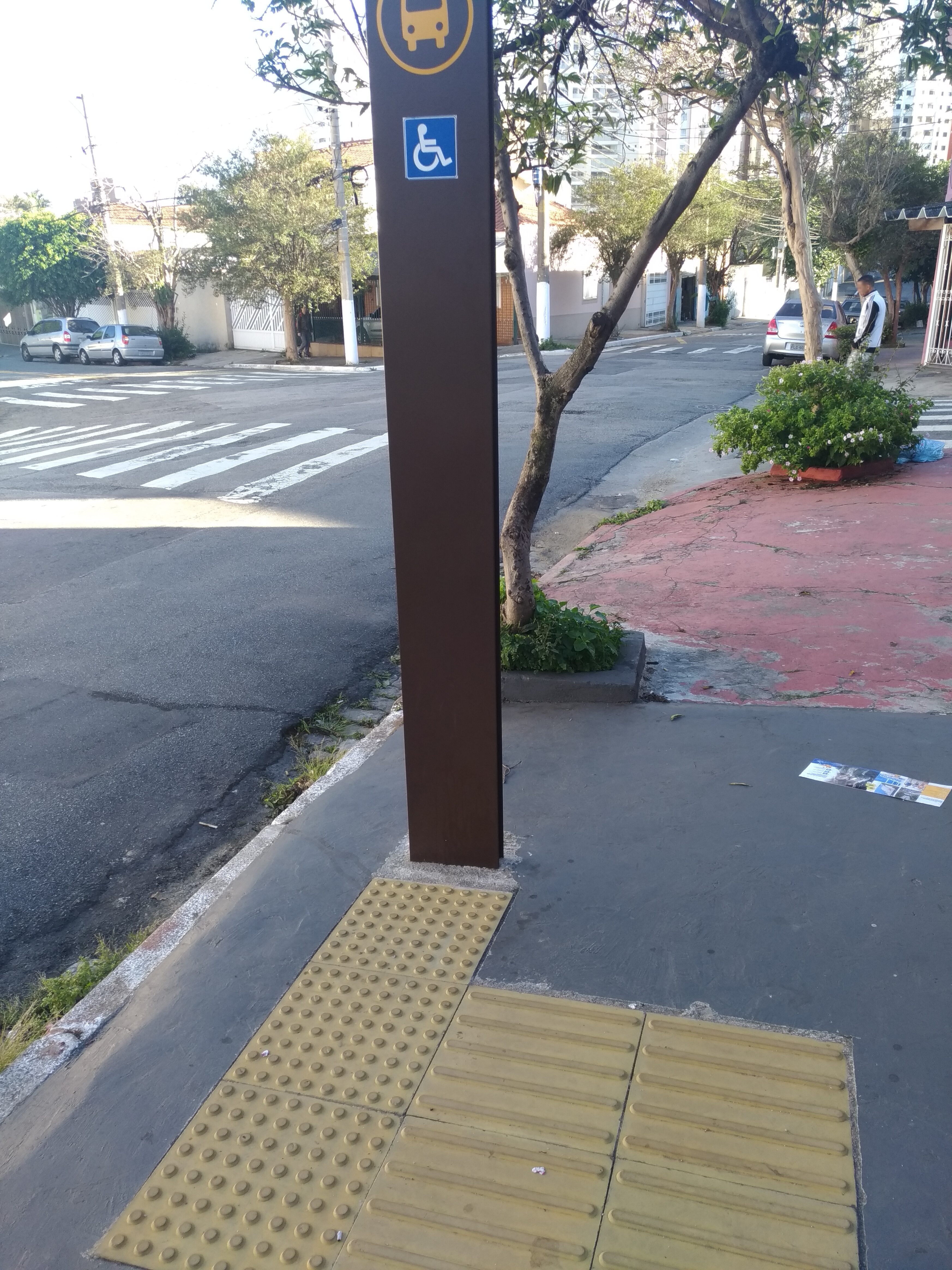 Taken by Celso R.
See R. Manoel Coelho da Silva, 137 stop, Cursino, on the map
Public transit to R. Manoel Coelho da Silva, 137 stop in Cursino
Looking for directions to R. Manoel Coelho da Silva, 137 in Cursino, Brazil?
Download the Moovit App to find the current schedule and step-by-step directions for Bus or Metro routes that pass through R. Manoel Coelho da Silva, 137.
Looking for the nearest stops closest to R. Manoel Coelho da Silva, 137 ? Check out this list of closest stops to your destination: R. Manoel Coelho da Silva; Av. Bosque da Saúde; Av. Bosque da Saúde; Av. do Cursino; Praça da Árvore; Santa Cruz; Alto do Ipiranga.
Bus: 4716-10, 4114-10, 4718-10, 4725-10, 4727-10, 4717-10.Metro: LINHA 2, LINHA 1, LINHA 5.
We make riding on public transit to R. Manoel Coelho da Silva, 137 easy, which is why over 1.7 billion users, including users in Cursino trust Moovit as the best app for public transit.
Use the app to navigate to popular places including to the airport, hospital, stadium, grocery store, mall, coffee shop, school, college, and university.
The first line to this stop is 4114-10, at 5:07 AM, and the last line is 4716-10 at 11:59 PM.
134 Rua Monoel Coelho Da Silva, São Paulo, Brazil
This stop serves SPTrans’s lines
- R. Manoel Coelho da Silva, 88,
- Av. Bosque da Saúde, 1787,
- Av. Bosque da Saúde, 2043,
- Av. do Cursino, 1055
Bus stops near R. Manoel Coelho da Silva, 137 stop
- Praça da Árvore,
- Santa Cruz,
- Alto do Ipiranga
Metro stations near R. Manoel Coelho da Silva, 137 station
- Av. Miguel Conejo, 998,
- Av. Indianópolis, 3096,
- Av. Prof. Luiz Ignácio Anhaia Mello, 4900,
- Patriarca-Vila Ré,
- Av. Augusto Antunes, 907,
- Av. Prestes Maia, 940,
- Avenida Interlagos 1990,
- Bixira B/C,
- Vila Madalena,
- R. Dr. Tirso Martins, 44,
- Av. Dr. Abraão Ribeiro 53,
- Av. Ermano Marchetti, 240,
- Av. Leôncio de Magalhães, 1004,
- R. Maria Amalia Lopes de Azevedo, 3633,
- Ac. Area de Apoio Bandeirantes,
- Av. Dep. Cantidio Sampaio, 3700,
- Avenida Rangel Pestana,
- Hospital Doutor Arnaldo Pezzuti Cavalcanti (Espaco Do Usuario),
- Pça. Cte. Lineu Gomes, 6200,
- Terminal Metrô Itaquera Sul
Popular public transit stations in Cursino
Get around Cursino by public transit!
Traveling around Cursino has never been so easy. See step by step directions as you travel to any attraction, street or major public transit station. View bus and train schedules, arrival times, service alerts and detailed routes on a map, so you know exactly how to get to anywhere in Cursino.
When traveling to any destination around Cursino use Moovit's Live Directions with Get Off Notifications to know exactly where and how far to walk, how long to wait for your line, and how many stops are left. Moovit will alert you when it's time to get off — no need to constantly re-check whether yours is the next stop.
Wondering how to use public transit in Cursino or how to pay for public transit in Cursino? Moovit public transit app can help you navigate your way with public transit easily, and at minimum cost. It includes public transit fees, ticket prices, and costs. Looking for a map of Cursino public transit lines? Moovit public transit app shows all public transit maps in Cursino with all Bus, Train, Metro, Light Rail, Ferry, Gondola, Cable Car and Funicular routes and stops on an interactive map.
Sao Paulo Region has 8 transit type(s), including: Bus, Train, Metro, Light Rail, Ferry, Gondola, Cable Car and Funicular, operated by several transit agencies, including SPTrans, CPTM, ViaMobilidade, Aquático SP, SPTRANS, EMTU, ViaQuatro, Auto Ônibus Moratense, GRU Airport (Aeroporto de Guarulhos), Auto Viação Urubupungá (Cajamar), Viação Cometa, Auto Viação Urubupungá (Osasco), Viação Ultra / Rápido Brasil, Auto Viação Urubupungá (Santana de Parnaíba) and Expresso Luxo