R. Manoel Nascimento Pinto, 206 stop - Wednesday schedule
| Line | Direction | Time |
|---|---|---|
| 8528-10 | Pça. do Correio | 3:40 AM |
| 8528-10 | Pça. do Correio | 4:10 AM |
| 8528-10 | Pça. do Correio | 4:35 AM |
| 8528-10 | Pça. do Correio | 5:00 AM |
| 8528-10 | Pça. do Correio | 5:10 AM |
| 8528-10 | Pça. do Correio | 5:19 AM |
| 8528-10 | Pça. do Correio | 5:28 AM |
| 8528-10 | Pça. do Correio | 5:36 AM |
| 8528-10 | Pça. do Correio | 5:44 AM |
| 8528-10 | Pça. do Correio | 5:52 AM |
| 8528-10 | Pça. do Correio | 6:00 AM |
| 8528-10 | Pça. do Correio | 6:08 AM |
| 8528-10 | Pça. do Correio | 6:16 AM |
| 8528-10 | Pça. do Correio | 6:24 AM |
| 8528-10 | Pça. do Correio | 6:33 AM |
| 8528-10 | Pça. do Correio | 6:42 AM |
| 8528-10 | Pça. do Correio | 6:51 AM |
| 8528-10 | Pça. do Correio | 7:00 AM |
| 8528-10 | Pça. do Correio | 7:09 AM |
| 8528-10 | Pça. do Correio | 7:18 AM |
| 8528-10 | Pça. do Correio | 7:28 AM |
| 8528-10 | Pça. do Correio | 7:38 AM |
| 8528-10 | Pça. do Correio | 7:48 AM |
| 8528-10 | Pça. do Correio | 8:00 AM |
| 8528-10 | Pça. do Correio | 8:12 AM |
Directions to R. Manoel Nascimento Pinto, 206 stop (Brasilândia) with public transit
The following transit lines have routes that pass near R. Manoel Nascimento Pinto, 206
 Bus: 8528-10, 971C-10, 978T-10, N134-11, 819A-10.
How to get to R. Manoel Nascimento Pinto, 206 stop by bus?
Click on the bus route to see step by step directions with maps, line arrival times and updated time schedules.
Bus stops near R. Manoel Nascimento Pinto, 206 stop in Brasilândia
- R. Souza Carvalho, 216, 2 min walk,
- R. João Pinto de Oliveira, 156, 3 min walk,
- Av. Dep. Cantidio Sampaio, 2476, 8 min walk,
- R. do Farol, 619, 11 min walk,
Bus lines to R. Manoel Nascimento Pinto, 206 stop in Brasilândia
- 978T-10, Metrô Barra Funda,
- 8528-10, Pça. do Correio,
- N134-11, Terminal Cachoeirinha - Taipas (Circular),
- 819A-10, Cptm Vila Aurora - Jardim Primavera,
- 957T-10, Cohab Taipas - Vila Olímpia,
- 971C-10, Cohab Brasilândia - Metrô Santana,
- 971D-10, Jardim Damasceno - Shopping Center Norte,
- 971R-10, Cptm Jaraguá - Metrô Santana,
- 971R-21, Jardim Damasceno - Metrô Santana,
- 971R-42, Cdhu Voith - Metrô Santana,
- 971R-51, Chica Luisa - Metrô Santana,
- 8194-10, Perus - Terminal Cachoeirinha,
- 8548-10, Parada De Taipas - Terminal Lapa,
- 8549-10, Taipas - Praça Do Correio,
- 9008-10, Parque De Taipas - Terminal Cachoeirinha,
- 9008-41, Estância Jaraguá - Terminal Cachoeirinha,
- 9009-10, Cohab Brasilândia - Terminal Cachoeirinha,
- 9011-10, Cptm Jaraguá - Terminal Cachoeirinha,
- 9032-10, Jardim Damasceno - Terminal Cachoeirinha,
- 9032-21, Jardim Damasceno - Terminal Cachoeirinha,
What are the closest stations to R. Manoel Nascimento Pinto, 206?
The closest stations to R. Manoel Nascimento Pinto, 206 are:
- R. Souza Carvalho, 216 stop is 79 meters away, 2 min walk.
- R. João Pinto de Oliveira, 156 stop is 171 meters away, 3 min walk.
- Av. Dep. Cantidio Sampaio, 2476 stop is 537 meters away, 8 min walk.
- R. do Farol, 619 stop is 817 meters away, 11 min walk.
Which bus lines stop near R. Manoel Nascimento Pinto, 206?
These bus lines stop near R. Manoel Nascimento Pinto, 206: 8528-10, 971C-10, 978T-10.
What’s the nearest bus station to R. Manoel Nascimento Pinto, 206 in Brasilândia?
The nearest bus station to R. Manoel Nascimento Pinto, 206 in Brasilândia is R. Souza Carvalho, 216. It’s a 2 min walk away.
What time is the first bus to R. Manoel Nascimento Pinto, 206 in Brasilândia?
The N134-11 is the first bus that goes to R. Manoel Nascimento Pinto, 206 in Brasilândia. It stops nearby at 3:09 AM.
What time is the last bus to R. Manoel Nascimento Pinto, 206 in Brasilândia?
The N134-11 is the last bus that goes to R. Manoel Nascimento Pinto, 206 in Brasilândia. It stops nearby at 2:51 AM.
R. Manoel Nascimento Pinto, 206 station
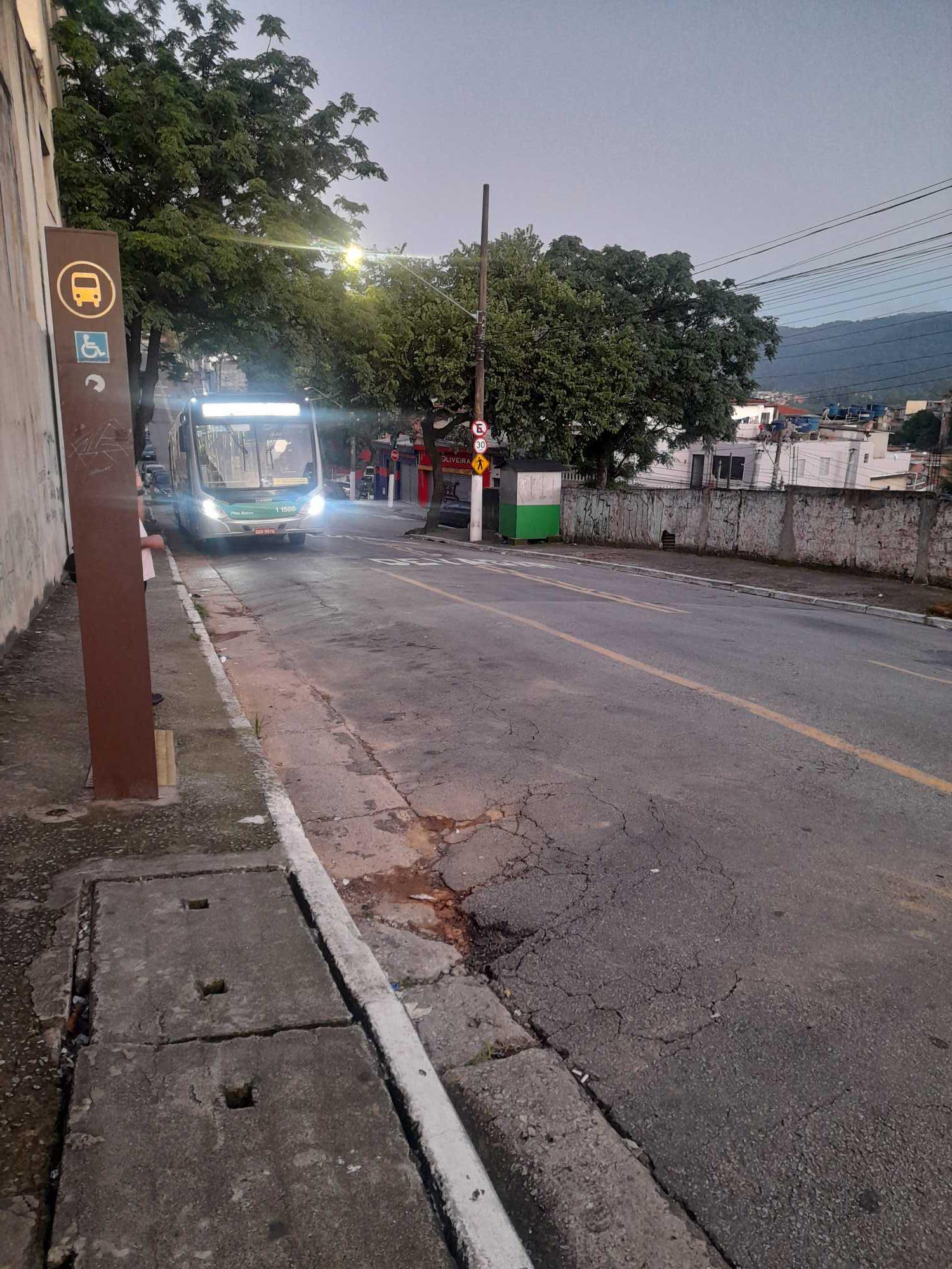 Taken by Anonymous
See R. Manoel Nascimento Pinto, 206 stop, Brasilândia, on the map
Public transit to R. Manoel Nascimento Pinto, 206 stop in Brasilândia
Looking for directions to R. Manoel Nascimento Pinto, 206 in Brasilândia, Brazil?
Download the Moovit App to find the current schedule and step-by-step directions for Bus or Train routes that pass through R. Manoel Nascimento Pinto, 206.
Looking for the nearest stops closest to R. Manoel Nascimento Pinto, 206 ? Check out this list of closest stops to your destination: R. Souza Carvalho; R. João Pinto de Oliveira; Av. Dep. Cantidio Sampaio; R. do Farol.
Bus: 8528-10, 971C-10, 978T-10, N134-11, 819A-10, 957T-10, 971D-10, 9006-10.
We make riding on public transit to R. Manoel Nascimento Pinto, 206 easy, which is why over 1.7 billion users, including users in Brasilândia trust Moovit as the best app for public transit.
Use the app to navigate to popular places including to the airport, hospital, stadium, grocery store, mall, coffee shop, school, college, and university.
The first line to this stop is 8528-10, at 3:40 AM, and the last line is 8528-10 at 12:10 AM.
206 Rua Manoel Nascimento Pinto, São Paulo, Brazil
This stop serves SPTrans’s lines
- R. Souza Carvalho, 216,
- R. João Pinto de Oliveira, 156,
- Av. Dep. Cantidio Sampaio, 2476,
- R. do Farol, 619
Bus stops near R. Manoel Nascimento Pinto, 206 stop
- Estrada Antiga De Itu, 437-459,
- Vila Madalena,
- Caieiras,
- Rua São Canuto,
- Avenida Brigadeiro Luís Antônio 2337,
- Av. Bernardino de Campos, 108,
- R. Henrique Schaumann,
- AACD - Servidor,
- Penha - Lojas Besni,
- Avenida Amador Bueno da Veiga 195,
- Japão-Liberdade,
- Avenida Doná Ruice Ferraz Alvin, 292,
- Parada 1,
- Avenida Paula Ferreira, 295,
- Rua Sebastião Pereira, 245,
- Antonio Gianetti Neto,
- Hospital Leonor Mendes de Barros,
- Marechal Deodoro B/C,
- Rodovia Dom Paulo Rolim Loureiro Km 74,
- Rodovia Régis Bittencourt - Br 116, Km 305,1
Popular public transit stations in Brasilândia
Get around Brasilândia by public transit!
Traveling around Brasilândia has never been so easy. See step by step directions as you travel to any attraction, street or major public transit station. View bus and train schedules, arrival times, service alerts and detailed routes on a map, so you know exactly how to get to anywhere in Brasilândia.
When traveling to any destination around Brasilândia use Moovit's Live Directions with Get Off Notifications to know exactly where and how far to walk, how long to wait for your line, and how many stops are left. Moovit will alert you when it's time to get off — no need to constantly re-check whether yours is the next stop.
Wondering how to use public transit in Brasilândia or how to pay for public transit in Brasilândia? Moovit public transit app can help you navigate your way with public transit easily, and at minimum cost. It includes public transit fees, ticket prices, and costs. Looking for a map of Brasilândia public transit lines? Moovit public transit app shows all public transit maps in Brasilândia with all Bus, Train, Metro, Light Rail, Ferry, Gondola, Cable Car and Funicular routes and stops on an interactive map.
Sao Paulo Region has 8 transit type(s), including: Bus, Train, Metro, Light Rail, Ferry, Gondola, Cable Car and Funicular, operated by several transit agencies, including SPTrans, CPTM, ViaMobilidade, Aquático SP, SPTRANS, EMTU, ViaQuatro, Auto Ônibus Moratense, GRU Airport (Aeroporto de Guarulhos), Auto Viação Urubupungá (Cajamar), Viação Cometa, Auto Viação Urubupungá (Osasco), Viação Ultra / Rápido Brasil, Auto Viação Urubupungá (Santana de Parnaíba) and Expresso Luxo