R. Maria Amalia Lopes de Azevedo, 39 stop - Tuesday schedule
| Line | Direction | Time |
|---|---|---|
| 2020-10 | Metrô Tucuruvi | 5:18 AM |
| 1787-10 | Vl. Marieta | 5:26 AM |
| 2020-10 | Metrô Tucuruvi | 5:40 AM |
| 1018-10 | Vl. Rosa | 5:45 AM |
| 1775-10 | Shop. Center Norte | 5:47 AM |
| 1787-10 | Vl. Marieta | 5:55 AM |
| 2020-10 | Metrô Tucuruvi | 6:01 AM |
| 1018-10 | Vl. Rosa | 6:05 AM |
| 1787-10 | Vl. Marieta | 6:12 AM |
| 1775-10 | Shop. Center Norte | 6:17 AM |
| 1018-10 | Vl. Rosa | 6:20 AM |
| 2020-10 | Metrô Tucuruvi | 6:21 AM |
| 1787-10 | Vl. Marieta | 6:29 AM |
| 1018-10 | Vl. Rosa | 6:35 AM |
| 1775-10 | Shop. Center Norte | 6:37 AM |
| 2020-10 | Metrô Tucuruvi | 6:41 AM |
| 1787-10 | Vl. Marieta | 6:44 AM |
| 1018-10 | Vl. Rosa | 6:50 AM |
| 2020-10 | Metrô Tucuruvi | 6:56 AM |
| 1775-10 | Shop. Center Norte | 6:57 AM |
| 1787-10 | Vl. Marieta | 7:00 AM |
| 1787-10 | Vl. Marieta | 7:12 AM |
| 1018-10 | Vl. Rosa | 7:13 AM |
| 2020-10 | Metrô Tucuruvi | 7:14 AM |
| 1775-10 | Shop. Center Norte | 7:22 AM |
Directions to R. Maria Amalia Lopes de Azevedo, 39 stop (Tremembé) with public transit
The following transit lines have routes that pass near R. Maria Amalia Lopes de Azevedo, 39
 Bus: 1018-10, 1722-10, 1775-10, 1787-10, N234-11.
- Metro: LINHA 1.
How to get to R. Maria Amalia Lopes de Azevedo, 39 stop by bus?
Click on the bus route to see step by step directions with maps, line arrival times and updated time schedules.
How to get to R. Maria Amalia Lopes de Azevedo, 39 stop by metro?
Click on the metro route to see step by step directions with maps, line arrival times and updated time schedules.
Bus stops near R. Maria Amalia Lopes de Azevedo, 39 stop in Tremembé
- R. Maria Amalia Lopes de Azevedo, 146, 2 min walk,
Metro stations near R. Maria Amalia Lopes de Azevedo, 39 station in Tremembé
- Tucuruvi, 31 min walk,
Bus lines to R. Maria Amalia Lopes de Azevedo, 39 stop in Tremembé
- N234-11, Metrô Tucuruvi - Largo Do Pery (Circular),
- 1018-10, Vila Rosa - Metrô Santana,
- 1722-10, Jardim Marina - Metrô Tucuruvi,
- 1775-10, Vila Albertina - Shopping Center Norte,
- 1787-10, Vila Marieta - Metrô Santana,
- 2020-10, Horto Florestal - Metrô Tucuruvi (Circular),
- 2740-10, Pedra Branca - Metrô Santana (Circular),
What are the closest stations to R. Maria Amalia Lopes de Azevedo, 39?
The closest stations to R. Maria Amalia Lopes de Azevedo, 39 are:
- R. Maria Amalia Lopes de Azevedo, 146 is 116 meters away, 2 min walk.
- Tucuruvi is 2348 meters away, 31 min walk.
Which bus lines stop near R. Maria Amalia Lopes de Azevedo, 39?
These bus lines stop near R. Maria Amalia Lopes de Azevedo, 39: 1018-10, 1722-10, 1775-10, 1787-10.
Which metro line stops near R. Maria Amalia Lopes de Azevedo, 39?
LINHA 1 (Tucuruvi)
What’s the nearest bus station to R. Maria Amalia Lopes de Azevedo, 39 in Tremembé?
The nearest bus station to R. Maria Amalia Lopes de Azevedo, 39 in Tremembé is R. Maria Amalia Lopes de Azevedo, 146. It’s a 2 min walk away.
What time is the first metro to R. Maria Amalia Lopes de Azevedo, 39 in Tremembé?
The LINHA 1 is the first metro that goes to R. Maria Amalia Lopes de Azevedo, 39 in Tremembé. It stops nearby at 4:40 AM.
What time is the last metro to R. Maria Amalia Lopes de Azevedo, 39 in Tremembé?
The LINHA 1 is the last metro that goes to R. Maria Amalia Lopes de Azevedo, 39 in Tremembé. It stops nearby at 12:44 AM.
What time is the first bus to R. Maria Amalia Lopes de Azevedo, 39 in Tremembé?
The N234-11 is the first bus that goes to R. Maria Amalia Lopes de Azevedo, 39 in Tremembé. It stops nearby at 3:02 AM.
What time is the last bus to R. Maria Amalia Lopes de Azevedo, 39 in Tremembé?
The N234-11 is the last bus that goes to R. Maria Amalia Lopes de Azevedo, 39 in Tremembé. It stops nearby at 3:05 AM.
R. Maria Amalia Lopes de Azevedo, 39 station
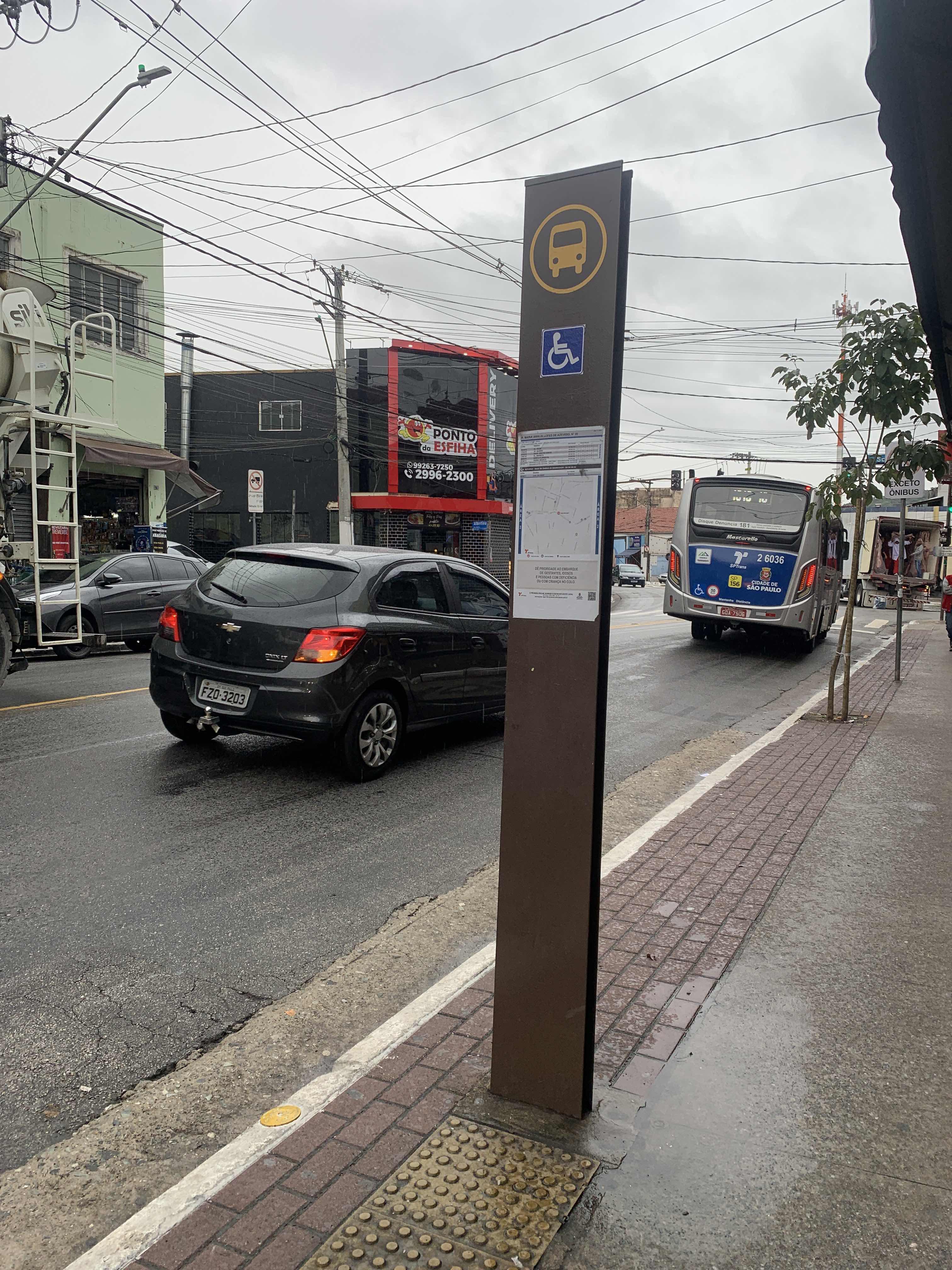 Taken by Anonymous
See R. Maria Amalia Lopes de Azevedo, 39 stop, Tremembé, on the map
Public transit to R. Maria Amalia Lopes de Azevedo, 39 stop in Tremembé
Looking for directions to R. Maria Amalia Lopes de Azevedo, 39 in Tremembé, Brazil?
Download the Moovit App to find the current schedule and step-by-step directions for Bus or Metro routes that pass through R. Maria Amalia Lopes de Azevedo, 39.
Looking for the nearest stops closest to R. Maria Amalia Lopes de Azevedo, 39 ? Check out this list of closest stops to your destination: R. Maria Amalia Lopes de Azevedo; Tucuruvi.
Bus: 1018-10, 1722-10, 1775-10, 1787-10, N234-11.Metro: LINHA 1.
We make riding on public transit to R. Maria Amalia Lopes de Azevedo, 39 easy, which is why over 1.5 million users, including users in Tremembé trust Moovit as the best app for public transit.
Use the app to navigate to popular places including to the airport, hospital, stadium, grocery store, mall, coffee shop, school, college, and university.
The first line to this stop is 2020-10, at 5:18 AM, and the last line is 1787-10 at 1:09 AM.
32 Rua Maria Amalia Lopes Azevedo, São Paulo, Brazil
This stop serves SPTrans’s lines
- R. Maria Amalia Lopes de Azevedo, 146
Bus stop near R. Maria Amalia Lopes de Azevedo, 39 stop
- Tucuruvi
Metro station near R. Maria Amalia Lopes de Azevedo, 39 station
- Jk Iguatemi,
- Terminal Campo Limpo,
- Rua Brigadeiro Tobias - Ministerio Da Fazienda,
- Av. Ultramarino,
- Av. dos Metalúrgicos, 1797,
- Spm-280 e Rod. Pres. Castello Branco, Km 17,2 Leste,
- Portuguesa-Tietê,
- Parada Thermas da Mata,
- R. Clênio Wanderley, 80,
- R. Paineira do Campo, 45,
- Terminal Rodoviário da Fazendinha - Parque dos Eucaliptos (Fazendinha), Santana de Parnaíba,
- R. S. Quirino, 1090,
- Av. Hebe Camargo - Antônio F. de Castilho 8,
- República,
- R. Otávio Tarquínio de Souza, 377,
- Av. das Nações Unidas, 14401,
- R. Bento Branco de Andrade Filho, 379,
- Avenida Professor Luiz Ignácio Anhaia Mello, 2700,
- Parada Condominio Arua (Oposto Portaria 2 Arua),
- Av. Angélica, 634
Popular public transit stations in Tremembé
Get around Tremembé by public transit!
Traveling around Tremembé has never been so easy. See step by step directions as you travel to any attraction, street or major public transit station. View bus and train schedules, arrival times, service alerts and detailed routes on a map, so you know exactly how to get to anywhere in Tremembé.
When traveling to any destination around Tremembé use Moovit's Live Directions with Get Off Notifications to know exactly where and how far to walk, how long to wait for your line, and how many stops are left. Moovit will alert you when it's time to get off — no need to constantly re-check whether yours is the next stop.
Wondering how to use public transit in Tremembé or how to pay for public transit in Tremembé? Moovit public transit app can help you navigate your way with public transit easily, and at minimum cost. It includes public transit fees, ticket prices, and costs. Looking for a map of Tremembé public transit lines? Moovit public transit app shows all public transit maps in Tremembé with all Bus, Train, Metro, Light Rail, Ferry, Gondola, Cable Car and Funicular routes and stops on an interactive map.
Sao Paulo Region has 8 transit type(s), including: Bus, Train, Metro, Light Rail, Ferry, Gondola, Cable Car and Funicular, operated by several transit agencies, including Metrô de São Paulo, ViaQuatro, ViaMobilidade, CPTM, Aquático SP, SPTrans, EMTU, Auto Ônibus Moratense, GRU Airport (Aeroporto de Guarulhos), Auto Viação Urubupungá (Cajamar), Viação Cometa, Auto Viação Urubupungá (Osasco), Viação Ultra / Rápido Brasil, Auto Viação Urubupungá (Santana de Parnaíba) and Expresso Luxo