R. Maria Joaquina, 44 stop - Saturday schedule
| Line | Direction | Time |
|---|---|---|
| N504-11 | Term. Vl. Prudente | 3:09 AM |
| N504-11 | Term. Vl. Prudente | 3:39 AM |
| N504-11 | Term. Vl. Prudente | 4:09 AM |
| 311C-10 | Pq. São Lucas | 5:17 AM |
| 311C-10 | Pq. São Lucas | 5:52 AM |
| 311C-10 | Pq. São Lucas | 6:27 AM |
| 311C-10 | Pq. São Lucas | 6:50 AM |
| 311C-10 | Pq. São Lucas | 7:17 AM |
| 311C-10 | Pq. São Lucas | 7:44 AM |
| 311C-10 | Pq. São Lucas | 8:04 AM |
| 311C-10 | Pq. São Lucas | 8:29 AM |
| 311C-10 | Pq. São Lucas | 8:49 AM |
| 311C-10 | Pq. São Lucas | 9:19 AM |
| 311C-10 | Pq. São Lucas | 9:49 AM |
| 311C-10 | Pq. São Lucas | 10:11 AM |
| 311C-10 | Pq. São Lucas | 10:39 AM |
| 311C-10 | Pq. São Lucas | 11:14 AM |
| 311C-10 | Pq. São Lucas | 11:54 AM |
| 311C-10 | Pq. São Lucas | 12:39 PM |
| 311C-10 | Pq. São Lucas | 1:14 PM |
| 311C-10 | Pq. São Lucas | 1:49 PM |
| 311C-10 | Pq. São Lucas | 2:19 PM |
| 311C-10 | Pq. São Lucas | 2:44 PM |
| 311C-10 | Pq. São Lucas | 3:10 PM |
| 311C-10 | Pq. São Lucas | 3:39 PM |
Directions to R. Maria Joaquina, 44 stop (Brás) with public transit
The following transit lines have routes that pass near R. Maria Joaquina, 44
 Bus: 172U-10, 2161-10, 311C-10, 5144-10, 701A-10.
- Train: LINHA 11, LINHA 10, LINHA 12, 13 - JADE.
- Metro: LINHA 3, LINHA 1.
How to get to R. Maria Joaquina, 44 stop by bus?
Click on the bus route to see step by step directions with maps, line arrival times and updated time schedules.
How to get to R. Maria Joaquina, 44 stop by train?
Click on the train route to see step by step directions with maps, line arrival times and updated time schedules.
How to get to R. Maria Joaquina, 44 stop by metro?
Click on the metro route to see step by step directions with maps, line arrival times and updated time schedules.
Bus stops near R. Maria Joaquina, 44 stop in Brás
- R. Oriente, 760, 2 min walk,
- R. Oriente, 562, 5 min walk,
- Parada 2 - Inss, 6 min walk,
- Av. Celso Garcia, 109 - Parada Rubino de Oliveira 1/2/3 - Brás, São Paulo, 6 min walk,
- Av. Celso Garcia, 60 - Parada Inss 2 - Brás, São Paulo, 6 min walk,
Train stations near R. Maria Joaquina, 44 station in Brás
- Brás, 9 min walk,
Metro stations near R. Maria Joaquina, 44 station in Brás
- Pedro II, 11 min walk,
- Tiradentes, 41 min walk,
Bus lines to R. Maria Joaquina, 44 stop in Brás
- 172U-10, Cemitério Parque Dos Pinheiros - Mooca,
- N204-11, Metrô Tucuruvi - Terminal Parque Dom Pedro Ii,
- 271F-10, Center Norte - Metrô Belém,
- 272N-10, Parque Novo Mundo - Parque Dom Pedro Ii (Circular),
- 311C-10, Parque São Lucas - Bom Retiro,
- 407A-10, Shopping Aricanduva - Largo Da Concórdia,
- N504-11, Terminal Vila Prudente - Terminal Parque Dom Pedro Ii,
- 701A-10, Parque Edu Chaves - Metrô Vila Madalena,
- 2161-10, Parque Edu Chaves - Praça Do Correio,
- 5144-10, Terminal Sapopemba - Terminal Princesa Isabel,
- 2123-10, Vl. Medeiros,
- 2127-10, Pq. Edu Chaves,
- 274P-10, Penha,
- 390E-10, Term. Penha,
- 1206-10, Correio,
- 2175-10, Pq. Edu Chaves,
- 2182-10, Jd. Brasil,
- 2290-10, Term. São Mateus,
- 2363-10, Jd. Danfer,
- 4210-10, Term. Cid. Tiradentes,
What are the closest stations to R. Maria Joaquina, 44?
The closest stations to R. Maria Joaquina, 44 are:
- R. Oriente, 760 is 119 meters away, 2 min walk.
- R. Oriente, 562 is 336 meters away, 5 min walk.
- Parada 2 - Inss is 430 meters away, 6 min walk.
- Av. Celso Garcia, 109 - Parada Rubino de Oliveira 1/2/3 - Brás, São Paulo is 430 meters away, 6 min walk.
- Av. Celso Garcia, 60 - Parada Inss 2 - Brás, São Paulo is 443 meters away, 6 min walk.
- Brás is 682 meters away, 9 min walk.
- Pedro II is 787 meters away, 11 min walk.
- Tiradentes is 3166 meters away, 41 min walk.
Which bus lines stop near R. Maria Joaquina, 44?
These bus lines stop near R. Maria Joaquina, 44: 172U-10, 2161-10, 311C-10, 5144-10, 701A-10.
Which train line stops near R. Maria Joaquina, 44?
LINHA 11 (Estudantes)
Which metro line stops near R. Maria Joaquina, 44?
LINHA 3 (Corinthians-Itaquera)
What’s the nearest metro station to R. Maria Joaquina, 44 in Brás?
The nearest metro station to R. Maria Joaquina, 44 in Brás is Pedro II. It’s a 11 min walk away.
What’s the nearest train station to R. Maria Joaquina, 44 in Brás?
The nearest train station to R. Maria Joaquina, 44 in Brás is Brás. It’s a 9 min walk away.
What’s the nearest bus station to R. Maria Joaquina, 44 in Brás?
The nearest bus station to R. Maria Joaquina, 44 in Brás is R. Oriente, 760. It’s a 2 min walk away.
What time is the first metro to R. Maria Joaquina, 44 in Brás?
The LINHA 3 is the first metro that goes to R. Maria Joaquina, 44 in Brás. It stops nearby at 4:52 AM.
What time is the last metro to R. Maria Joaquina, 44 in Brás?
The LINHA 3 is the last metro that goes to R. Maria Joaquina, 44 in Brás. It stops nearby at 12:38 AM.
What time is the first train to R. Maria Joaquina, 44 in Brás?
The LINHA 12 is the first train that goes to R. Maria Joaquina, 44 in Brás. It stops nearby at 4:00 AM.
What time is the last train to R. Maria Joaquina, 44 in Brás?
The LINHA 11 is the last train that goes to R. Maria Joaquina, 44 in Brás. It stops nearby at 12:58 AM.
What time is the first bus to R. Maria Joaquina, 44 in Brás?
The N504-11 is the first bus that goes to R. Maria Joaquina, 44 in Brás. It stops nearby at 3:07 AM.
What time is the last bus to R. Maria Joaquina, 44 in Brás?
The N204-11 is the last bus that goes to R. Maria Joaquina, 44 in Brás. It stops nearby at 3:22 AM.
R. Maria Joaquina, 44 station
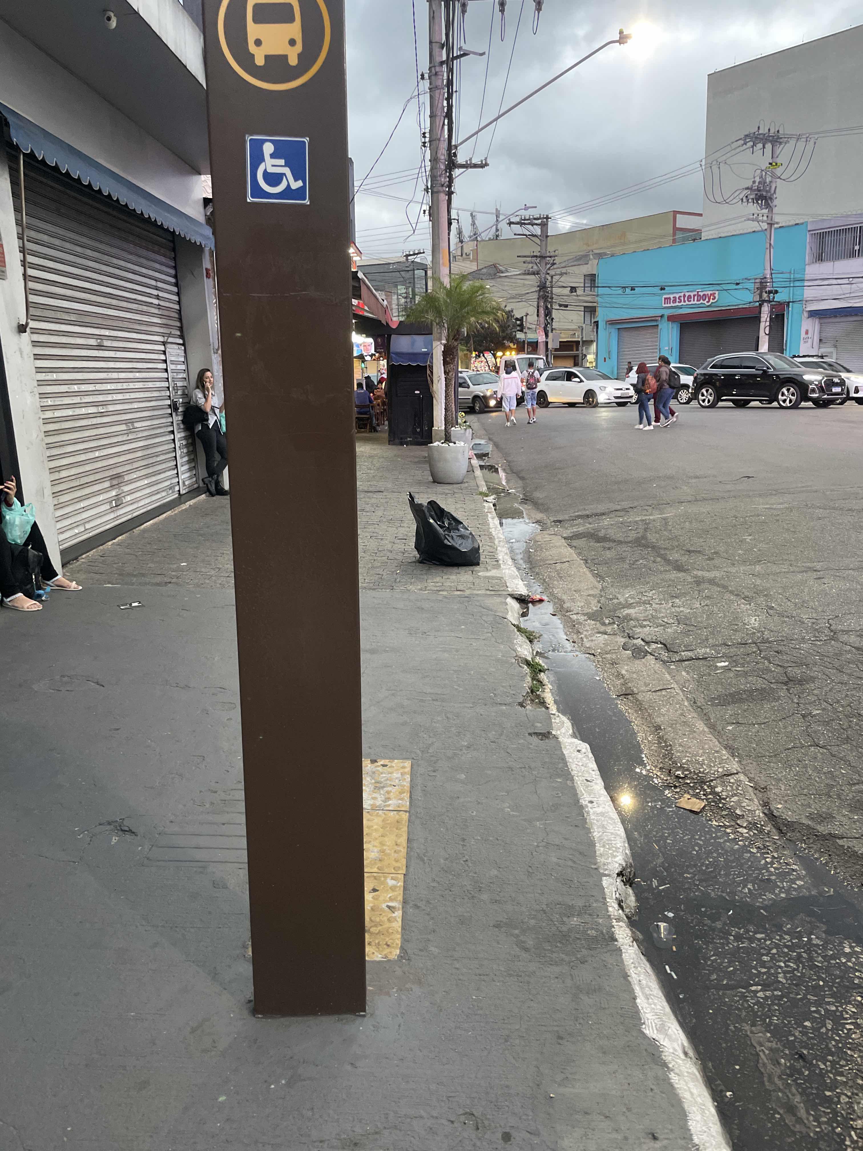 Taken by Anonymous
See R. Maria Joaquina, 44 stop, Brás, on the map
Public transit to R. Maria Joaquina, 44 stop in Brás
Looking for directions to R. Maria Joaquina, 44 in Brás, Brazil?
Download the Moovit App to find the current schedule and step-by-step directions for Bus, Train or Metro routes that pass through R. Maria Joaquina, 44.
Looking for the nearest stops closest to R. Maria Joaquina, 44 ? Check out this list of closest stops to your destination: R. Oriente; R. Oriente; Parada 2 - Inss; Av. Celso Garcia; Av. Celso Garcia; Brás; Pedro II; Tiradentes.
Bus: 172U-10, 2161-10, 311C-10, 5144-10, 701A-10, N204-11, 271F-10, 272N-10, 2123-10, 2127-10, 274P-10, 390E-10, 1206-10, 2175-10, 2182-10.Train: LINHA 11, LINHA 10, LINHA 12, 13 - JADE.Metro: LINHA 3, LINHA 1.
We make riding on public transit to R. Maria Joaquina, 44 easy, which is why over 1.5 million users, including users in Brás trust Moovit as the best app for public transit.
Use the app to navigate to popular places including to the airport, hospital, stadium, grocery store, mall, coffee shop, school, college, and university.
The first line to this stop is N504-11, at 3:09 AM, and the last line is N504-11 at 2:39 AM.
42 Rua Maria Joaquina, São Paulo, Brazil
This stop serves SPTrans’s lines
- R. Oriente, 760,
- R. Oriente, 562,
- Parada 2 - Inss,
- Av. Celso Garcia, 109 - Parada Rubino de Oliveira 1/2/3 - Brás, São Paulo,
- Av. Celso Garcia, 60 - Parada Inss 2 - Brás, São Paulo
Bus stops near R. Maria Joaquina, 44 stop
- Brás
Train station near R. Maria Joaquina, 44 station
- Pedro II,
- Tiradentes
Metro stations near R. Maria Joaquina, 44 station
- Av. Francisco Tranchesi, 554,
- Av. Educador Paulo Freire, 107 - Parque Novo Mundo, São Paulo,
- Estados Unidos B/C,
- R. José Paulino, 460,
- Terminal Jardim D'Abril,
- Avenida Paulista 2452,
- Av. Antonio Faustino dos Santos,
- Rodovia Régis Bittencourt - Br 116, Km 317,8,
- Avenida César Magnani,
- Rua Coronel Xavier de Toledo, 220,
- Rua Doutor Miguel de Campos Júnior- 100,
- São Bento,
- R. Emília Marengo, 737,
- Av. Parada Pinto, 1380,
- Av. Prof. Hermógenes de Freitas Leitão Filho, 3213,
- Capuava,
- R. Werner Von Siemens, 111,
- Av. Amador Bueno da Veiga, 3015,
- Rod. Pres. Dutra Km 221 - Posto Carreteiro,
- Rua dos Vicentinos (N. 599)
Popular public transit stations in Brás
Get around Brás by public transit!
Traveling around Brás has never been so easy. See step by step directions as you travel to any attraction, street or major public transit station. View bus and train schedules, arrival times, service alerts and detailed routes on a map, so you know exactly how to get to anywhere in Brás.
When traveling to any destination around Brás use Moovit's Live Directions with Get Off Notifications to know exactly where and how far to walk, how long to wait for your line, and how many stops are left. Moovit will alert you when it's time to get off — no need to constantly re-check whether yours is the next stop.
Wondering how to use public transit in Brás or how to pay for public transit in Brás? Moovit public transit app can help you navigate your way with public transit easily, and at minimum cost. It includes public transit fees, ticket prices, and costs. Looking for a map of Brás public transit lines? Moovit public transit app shows all public transit maps in Brás with all Bus, Train, Metro, Light Rail, Ferry, Gondola, Cable Car and Funicular routes and stops on an interactive map.
Sao Paulo Region has 8 transit type(s), including: Bus, Train, Metro, Light Rail, Ferry, Gondola, Cable Car and Funicular, operated by several transit agencies, including Metrô de São Paulo, ViaQuatro, ViaMobilidade, CPTM, Aquático SP, SPTrans, EMTU, Auto Ônibus Moratense, GRU Airport (Aeroporto de Guarulhos), Auto Viação Urubupungá (Cajamar), Viação Cometa, Auto Viação Urubupungá (Osasco), Viação Ultra / Rápido Brasil, Auto Viação Urubupungá (Santana de Parnaíba) and Expresso Luxo