R. Maria do Carmo Sene, 240 stop - Wednesday schedule
| Line | Direction | Time |
|---|---|---|
| 1778-10 | Metrô Santana | 4:28 AM |
| 1778-10 | Metrô Santana | 4:53 AM |
| 1778-10 | Metrô Santana | 5:19 AM |
| 1778-10 | Metrô Santana | 5:45 AM |
| 1778-10 | Metrô Santana | 6:10 AM |
| 1778-10 | Metrô Santana | 6:40 AM |
| 1778-10 | Metrô Santana | 7:13 AM |
| 1778-10 | Metrô Santana | 7:53 AM |
| 1778-10 | Metrô Santana | 8:23 AM |
| 1778-10 | Metrô Santana | 9:03 AM |
| 1778-10 | Metrô Santana | 9:43 AM |
| 1778-10 | Metrô Santana | 10:23 AM |
| 1778-10 | Metrô Santana | 11:04 AM |
| 1778-10 | Metrô Santana | 11:49 AM |
| 1778-10 | Metrô Santana | 12:34 PM |
| 1778-10 | Metrô Santana | 1:19 PM |
| 1778-10 | Metrô Santana | 1:54 PM |
| 1778-10 | Metrô Santana | 2:34 PM |
| 1778-10 | Metrô Santana | 3:11 PM |
| 1778-10 | Metrô Santana | 3:53 PM |
| 1778-10 | Metrô Santana | 4:23 PM |
| 1778-10 | Metrô Santana | 4:58 PM |
| 1778-10 | Metrô Santana | 5:38 PM |
| 1778-10 | Metrô Santana | 6:13 PM |
| 1778-10 | Metrô Santana | 6:48 PM |
Directions to R. Maria do Carmo Sene, 240 stop (Santana) with public transit
The following transit lines have routes that pass near R. Maria do Carmo Sene, 240
 Bus: 1778-10, 179X-10, 2025-10, N203-11, 1016-10.
- Metro: LINHA 1.
How to get to R. Maria do Carmo Sene, 240 stop by bus?
Click on the bus route to see step by step directions with maps, line arrival times and updated time schedules.
How to get to R. Maria do Carmo Sene, 240 stop by metro?
Click on the metro route to see step by step directions with maps, line arrival times and updated time schedules.
Bus stops near R. Maria do Carmo Sene, 240 stop in Santana
- R. Pedro Cacunda, 307, 3 min walk,
- Av. Luís Dumont Vilares, 1543, 5 min walk,
- R. Paulo Avelar, 15, 7 min walk,
- Av. Luís Dumont Vilares, 1721, 8 min walk,
- Av. Gen. Ataliba Leonel, 2981, 9 min walk,
Metro stations near R. Maria do Carmo Sene, 240 station in Santana
- Parada Inglesa, 9 min walk,
Bus lines to R. Maria do Carmo Sene, 240 stop in Santana
- 1778-10, Metrô Santana,
- N203-11, Metrô Tucuruvi - Terminal Parque Dom Pedro Ii,
- 1016-10, Cemitério Do Horto - Shopping Center Norte,
- 1701-10, Jova Rural - Metrô Santana (Circular),
- 1701-23, Jova Rural - Metrô Santana (Circular),
- 1703-10, Jardim Fontális - Shopping Center Norte,
- 2025-10, Vila Nova Galvão - Santana,
- 179X-10, Metrô Barra Funda,
- 1738-10, Metrô Santana,
- 1702-10, Tietê,
- 1732-10, Vl. Sabrina,
What are the closest stations to R. Maria do Carmo Sene, 240?
The closest stations to R. Maria do Carmo Sene, 240 are:
- R. Pedro Cacunda, 307 stop is 222 meters away, 3 min walk.
- Av. Luís Dumont Vilares, 1543 stop is 347 meters away, 5 min walk.
- R. Paulo Avelar, 15 stop is 533 meters away, 7 min walk.
- Av. Luís Dumont Vilares, 1721 stop is 596 meters away, 8 min walk.
- Av. Gen. Ataliba Leonel, 2981 stop is 699 meters away, 9 min walk.
- Parada Inglesa station is 705 meters away, 9 min walk.
Which bus lines stop near R. Maria do Carmo Sene, 240?
These bus lines stop near R. Maria do Carmo Sene, 240: 1778-10, 179X-10, 2025-10.
Which metro line stops near R. Maria do Carmo Sene, 240?
LINHA 1 (Tucuruvi)
What’s the nearest metro station to R. Maria do Carmo Sene, 240 in Santana?
The nearest metro station to R. Maria do Carmo Sene, 240 in Santana is Parada Inglesa. It’s a 9 min walk away.
What’s the nearest bus station to R. Maria do Carmo Sene, 240 in Santana?
The nearest bus station to R. Maria do Carmo Sene, 240 in Santana is R. Pedro Cacunda, 307. It’s a 3 min walk away.
What time is the first metro to R. Maria do Carmo Sene, 240 in Santana?
The LINHA 1 is the first metro that goes to R. Maria do Carmo Sene, 240 in Santana. It stops nearby at 4:40 AM.
What time is the last metro to R. Maria do Carmo Sene, 240 in Santana?
The LINHA 1 is the last metro that goes to R. Maria do Carmo Sene, 240 in Santana. It stops nearby at 12:44 AM.
What time is the first bus to R. Maria do Carmo Sene, 240 in Santana?
The N203-11 is the first bus that goes to R. Maria do Carmo Sene, 240 in Santana. It stops nearby at 3:10 AM.
What time is the last bus to R. Maria do Carmo Sene, 240 in Santana?
The N203-11 is the last bus that goes to R. Maria do Carmo Sene, 240 in Santana. It stops nearby at 3:12 AM.
R. Maria do Carmo Sene, 240 station
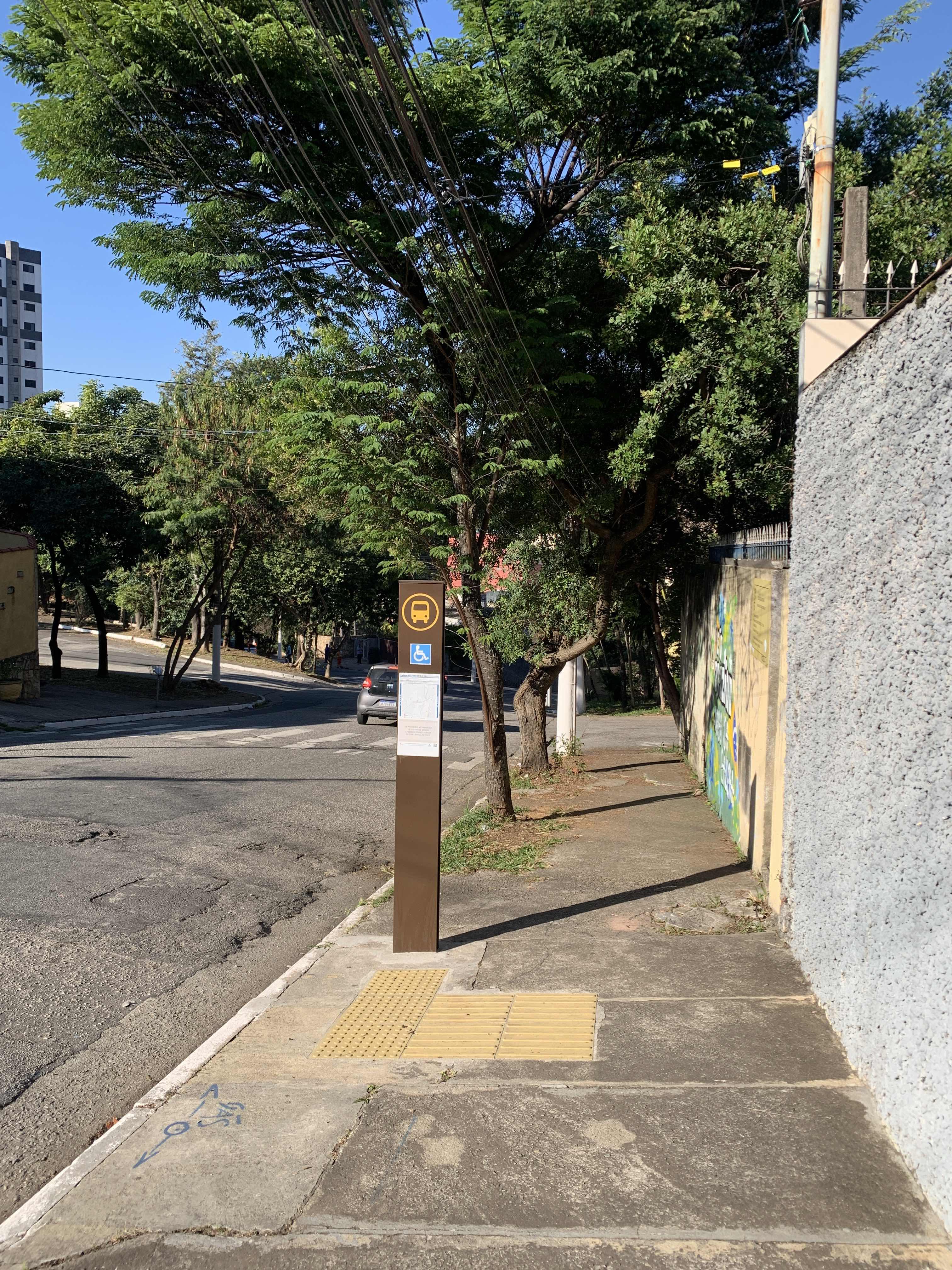 Taken by Anonymous
See R. Maria do Carmo Sene, 240 stop, Santana, on the map
Public transit to R. Maria do Carmo Sene, 240 stop in Santana
Looking for directions to R. Maria do Carmo Sene, 240 in Santana, Brazil?
Download the Moovit App to find the current schedule and step-by-step directions for Bus or Metro routes that pass through R. Maria do Carmo Sene, 240.
Looking for the nearest stops closest to R. Maria do Carmo Sene, 240 ? Check out this list of closest stops to your destination: R. Pedro Cacunda; Av. Luís Dumont Vilares; R. Paulo Avelar; Av. Luís Dumont Vilares; Av. Gen. Ataliba Leonel; Parada Inglesa.
Bus: 1778-10, 179X-10, 2025-10, N203-11, 1016-10, 1701-10, 1701-23, 1703-10, 1738-10, 1702-10, 1732-10.Metro: LINHA 1.
We make riding on public transit to R. Maria do Carmo Sene, 240 easy, which is why over 1.7 billion users, including users in Santana trust Moovit as the best app for public transit.
Use the app to navigate to popular places including to the airport, hospital, stadium, grocery store, mall, coffee shop, school, college, and university.
The first line to this stop is 1778-10, at 4:28 AM, and the last line is 1778-10 at 12:28 AM.
228 Rua Maria Do Carmo Senne, São Paulo, Brazil
This stop serves SPTrans’s lines
Popular routes from R. Maria do Carmo Sene, 240 stop, Santana
- R. Pedro Cacunda, 307,
- Av. Luís Dumont Vilares, 1543,
- R. Paulo Avelar, 15,
- Av. Luís Dumont Vilares, 1721,
- Av. Gen. Ataliba Leonel, 2981
Bus stops near R. Maria do Carmo Sene, 240 stop
- Parada Inglesa
Metro station near R. Maria do Carmo Sene, 240 station
- Avenida Engenheiro Armando de Arruda Pereira 2654,
- Estação de Transferência Jardim Miriam (Diadema),
- Avenida Prestes Maia, 297,
- Av. Giovanni Gronchi, 3478,
- Av. Jacu-Pêssego/Nova Trabalhadores, 750,
- Parada Roberto Simonsen,
- Av Das Nações Unidas - João Dias Ponto 1,
- Parada Etec/Senai/Fatec,
- Av. Arraias do Araguaia,
- Av. Yervant Kissajikian, 2248,
- R. Miguel Yunes, 485,
- Avenida Cruzeiro do Sul 1800,
- Av. Dep. Cantidio Sampaio, 3700,
- R. Iososuke Okaue, 911,
- Avenida Presidente Juscelino Kubitschek 1900,
- Av. João Paulo Primeiro, 1110,
- Rodovia Raposo Tavares (Km 16,4/São Paulo),
- Rua Guilherme De Almeida,
- Br-116 Rod. Régis Bittencourt, Km 332,2 Norte - dos Rosas, Juquitiba,
- Av. Morumbi, 8045
Popular public transit stations in Santana
Get around Santana by public transit!
Traveling around Santana has never been so easy. See step by step directions as you travel to any attraction, street or major public transit station. View bus and train schedules, arrival times, service alerts and detailed routes on a map, so you know exactly how to get to anywhere in Santana.
When traveling to any destination around Santana use Moovit's Live Directions with Get Off Notifications to know exactly where and how far to walk, how long to wait for your line, and how many stops are left. Moovit will alert you when it's time to get off — no need to constantly re-check whether yours is the next stop.
Wondering how to use public transit in Santana or how to pay for public transit in Santana? Moovit public transit app can help you navigate your way with public transit easily, and at minimum cost. It includes public transit fees, ticket prices, and costs. Looking for a map of Santana public transit lines? Moovit public transit app shows all public transit maps in Santana with all Bus, Train, Metro, Light Rail, Ferry, Gondola, Cable Car and Funicular routes and stops on an interactive map.
Sao Paulo Region has 8 transit type(s), including: Bus, Train, Metro, Light Rail, Ferry, Gondola, Cable Car and Funicular, operated by several transit agencies, including SPTrans, CPTM, ViaMobilidade, Aquático SP, SPTRANS, EMTU, ViaQuatro, Auto Ônibus Moratense, GRU Airport (Aeroporto de Guarulhos), Auto Viação Urubupungá (Cajamar), Viação Cometa, Auto Viação Urubupungá (Osasco), Viação Ultra / Rápido Brasil, Auto Viação Urubupungá (Santana de Parnaíba) and Expresso Luxo