R. Mateus Leme, 700 stop - Wednesday schedule
| Line | Direction | Time |
|---|---|---|
| 189 MAD. ABRANCHES | Praça Rui Barbosa ↺ Abranches (Circular) | 3:04 AM |
| 189 MAD. ABRANCHES | Praça Rui Barbosa ↺ Abranches (Circular) | 4:04 AM |
| K71 ITAPERUÇU / PRAÇA 19 | Praça 19 → Itaperuçu | 4:28 AM |
| L71 RIO BRANCO / PRAÇA 19 | Praça 19 → Palmeirinhas | 5:11 AM |
| 181 MATEUS LEME | Praça Tiradentes → Capela São Francisco Xavier | 5:38 AM |
| A07 TAMANDARÉ / PRAÇA 19 (LAMENHA) | Praça 19 → Terminal Tamandaré | 5:41 AM |
| K71 ITAPERUÇU / PRAÇA 19 | Praça 19 → Itaperuçu | 5:53 AM |
| L71 RIO BRANCO / PRAÇA 19 | Praça 19 → Palmeirinhas | 5:56 AM |
| L71 RIO BRANCO / PRAÇA 19 | Praça 19 → Nodari | 5:56 AM |
| 182 ABRANCHES | Praça Tiradentes → Terminal Barreirinha | 6:00 AM |
| 184 VILA SUÍÇA | Praça Tiradentes → Vila Suíça | 6:01 AM |
| 176 PARQUE TANGUÁ | Travessa Nestor de Castro → Parque Tanguá | 6:02 AM |
| L71 RIO BRANCO / PRAÇA 19 | Praça 19 → Palmeirinhas | 6:06 AM |
| 169 JARDIM KOSMOS | Travessa Nestor de Castro → Jardim Kosmos | 6:08 AM |
| 183 JARDIM CHAPARRAL | Praça Tiradentes → Jardim Chaparral | 6:09 AM |
| K71 ITAPERUÇU / PRAÇA 19 | Praça 19 → Itaperuçu | 6:13 AM |
| 182 ABRANCHES | Praça Tiradentes → Terminal Barreirinha | 6:16 AM |
| L71 RIO BRANCO / PRAÇA 19 | Praça 19 → Palmeirinhas | 6:21 AM |
| K71 ITAPERUÇU / PRAÇA 19 | Praça 19 → Itaperuçu | 6:23 AM |
| A07 TAMANDARÉ / PRAÇA 19 (LAMENHA) | Praça 19 → Terminal Tamandaré | 6:23 AM |
| 184 VILA SUÍÇA | Praça Tiradentes → Vila Suíça | 6:31 AM |
| 182 ABRANCHES | Praça Tiradentes → Terminal Barreirinha | 6:32 AM |
| K71 ITAPERUÇU / PRAÇA 19 | Praça 19 → Itaperuçu | 6:33 AM |
| A06 TAMANDARÉ / GUADALUPE (MINÉRIOS) | Terminal Guadalupe → Terminal Tamandaré | 6:33 AM |
| L71 RIO BRANCO / PRAÇA 19 | Praça 19 → Palmeirinhas | 6:34 AM |
Directions to R. Mateus Leme, 700 stop (São Francisco) with public transit
The following transit lines have routes that pass near R. Mateus Leme, 700
 Bus: 182 ABRANCHES, 183 JARDIM CHAPARRAL, 206 BARREIRINHA / SÃO JOSÉ, 505 BOQUEIRÃO / CENTRO CÍVICO, 702 CAIUÁ / CACHOEIRA.
How to get to R. Mateus Leme, 700 stop by bus?
Click on the bus route to see step by step directions with maps, line arrival times and updated time schedules.
Bus stops near R. Mateus Leme, 700 stop in São Francisco
- Av. Cândido de Abreu, 501, 2 min walk,
- Comendador Fontana, 2 min walk,
- R. Heitor Stockler de França, 356, 3 min walk,
- R. Senador Xavier da Silva, 406, 3 min walk,
- Praça 19 de Dezembro, 4 min walk,
- R. Barão de Antonina, 528, 4 min walk,
- R. Mateus Leme, 1100, 4 min walk,
- R. Trajano Reis, 800 (Praça do Redentor), 8 min walk,
Bus lines to R. Mateus Leme, 700 stop in São Francisco
- A01 CACHOEIRA / CURITIBA (MOREIRA GARCEZ), CACHOEIRA / CURITIBA (MOREIRA GARCEZ),
- A05 MAD. CURITIBA / TAMANDARÉ (VIA GRAZIELA), MAD. CURITIBA / TAMANDARÉ (via GRAZIELA),
- A06 TAMANDARÉ / GUADALUPE (MINÉRIOS), TAMANDARÉ / GUADALUPE (MINÉRIOS),
- N61 CAMPINA GRANDE DO SUL / GUADALUPE, CAMPINA GRANDE DO SUL / GUADALUPE,
- N62 JARDIM PAULISTA / GUADALUPE, JARDIM PAULISTA / GUADALUPE,
- O62 QUATRO BARRAS / GUADALUPE (VIA ESTAÇÃO ATUBA), QUATRO BARRAS / GUADALUPE (via ESTAÇÃO ATUBA),
- B72 COLOMBO / GUADALUPE (VIA T. ROÇA GRANDE), COLOMBO / GUADALUPE (via T. ROÇA GRANDE),
- C72 VILA PALMITAL / GUADALUPE (VIA ESTAÇÃO ATUBA), VILA PALMITAL / GUADALUPE (via ESTAÇÃO ATUBA),
- N72 EUGÊNIA MARIA / GUADALUPE, EUGÊNIA MARIA / GUADALUPE,
- O74 QUATRO BARRAS / GUADALUPE, QUATRO BARRAS / GUADALUPE,
- A89 CACHOEIRA / CURITIBA (TAMANDARÉ / CABRAL), CACHOEIRA / CURITIBA (TAMANDARÉ / CABRAL),
- B89 GUARAITUBA / RUI BARBOSA (VIA MARACANÃ / CABRAL), GUARAITUBA / RUI BARBOSA (via MARACANÃ / CABRAL),
- 176 PARQUE TANGUÁ, PARQUE TANGUÁ,
- 181 MATEUS LEME, MATEUS LEME,
- 183 JARDIM CHAPARRAL, JARDIM CHAPARRAL,
- 189 MAD. ABRANCHES, MAD. ABRANCHES,
- 205 BARREIRINHA, BARREIRINHA,
- 260 MARECHAL HERMES / SANTA EFIGÊNIA, MARECHAL HERMES / SANTA EFIGÊNIA,
- 265 AHÚ / LOS ANGELES, AHÚ / LOS ANGELES,
- 266 ESTRIBO AHÚ, ESTRIBO AHÚ,
What are the closest stations to R. Mateus Leme, 700?
The closest stations to R. Mateus Leme, 700 are:
- Av. Cândido de Abreu, 501 stop is 118 meters away, 2 min walk.
- Comendador Fontana stop is 125 meters away, 2 min walk.
- R. Heitor Stockler de França, 356 stop is 178 meters away, 3 min walk.
- R. Senador Xavier da Silva, 406 stop is 185 meters away, 3 min walk.
- Praça 19 de Dezembro stop is 275 meters away, 4 min walk.
- R. Barão de Antonina, 528 stop is 281 meters away, 4 min walk.
- R. Mateus Leme, 1100 stop is 299 meters away, 4 min walk.
- R. Trajano Reis, 800 (Praça do Redentor) stop is 584 meters away, 8 min walk.
Which bus lines stop near R. Mateus Leme, 700?
These bus lines stop near R. Mateus Leme, 700: 182 ABRANCHES, 183 JARDIM CHAPARRAL, 206 BARREIRINHA / SÃO JOSÉ, 505 BOQUEIRÃO / CENTRO CÍVICO, 702 CAIUÁ / CACHOEIRA, A06 TAMANDARÉ / GUADALUPE (MINÉRIOS), L71 RIO BRANCO / PRAÇA 19.
What’s the nearest bus station to R. Mateus Leme, 700 in São Francisco?
The nearest bus stations to R. Mateus Leme, 700 in São Francisco are Av. Cândido de Abreu, 501 and Comendador Fontana. The closest one is a 2 min walk away.
What time is the first bus to R. Mateus Leme, 700 in São Francisco?
The 189 MAD. ABRANCHES is the first bus that goes to R. Mateus Leme, 700 in São Francisco. It stops nearby at 3:03 AM.
What time is the last bus to R. Mateus Leme, 700 in São Francisco?
The K71 ITAPERUÇU / PRAÇA 19 is the last bus that goes to R. Mateus Leme, 700 in São Francisco. It stops nearby at 4:13 AM.
R. Mateus Leme, 700 station
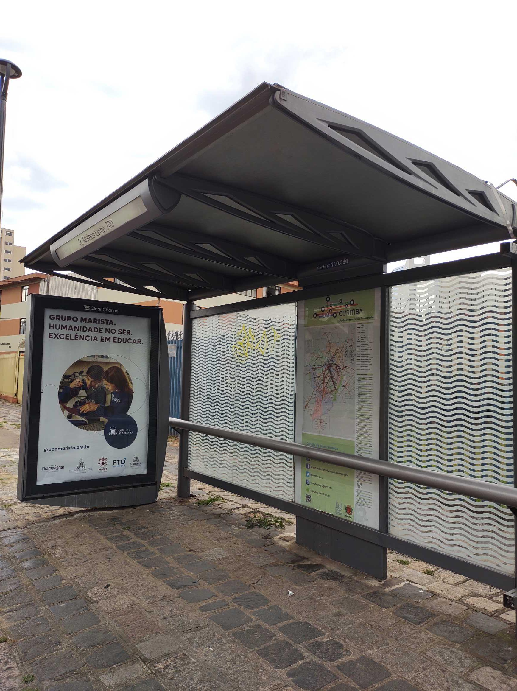 Taken by Anonymous
See R. Mateus Leme, 700 stop, São Francisco, on the map
Public transit to R. Mateus Leme, 700 stop (ID: 110086) in São Francisco
Looking for directions to R. Mateus Leme, 700 in São Francisco, Brazil?
Download the Moovit App to find the current schedule and step-by-step directions for Bus routes that pass through R. Mateus Leme, 700.
Looking for the nearest stops closest to R. Mateus Leme, 700 ? Check out this list of closest stops to your destination: Av. Cândido de Abreu; Comendador Fontana; R. Heitor Stockler de França; R. Senador Xavier da Silva; Praça 19 de Dezembro; R. Barão de Antonina; R. Mateus Leme; R. Trajano Reis.
Bus: 182 ABRANCHES, 183 JARDIM CHAPARRAL, 206 BARREIRINHA / SÃO JOSÉ, 505 BOQUEIRÃO / CENTRO CÍVICO, 702 CAIUÁ / CACHOEIRA, A06 TAMANDARÉ / GUADALUPE (MINÉRIOS), L71 RIO BRANCO / PRAÇA 19, A01 CACHOEIRA / CURITIBA (MOREIRA GARCEZ), A05 MAD. CURITIBA / TAMANDARÉ (VIA GRAZIELA), N61 CAMPINA GRANDE DO SUL / GUADALUPE, N62 JARDIM PAULISTA / GUADALUPE, 210 CABRAL / CIC, 469 CENTRO POLITÉCNICO, 607 COLOMBO / CIC, K01 ITAPERUÇU / GUADALUPE (TAMANDARÉ / MINÉRIOS), B69 MAD. CURITIBA / SÃO DIMAS, 184 VILA SUÍÇA, 1560-500, A77 TANGUÁ / GUADALUPE, A80 TANGUÁ (VILA MARTA) / GUADALUPE, A78 VILA MARTA / PRAÇA 19.
We make riding on public transit to R. Mateus Leme, 700 easy, which is why over 1.7 billion users, including users in São Francisco trust Moovit as the best app for public transit.
Use the app to navigate to popular places including to the airport, hospital, stadium, grocery store, mall, coffee shop, school, college, and university.
R. Mateus Leme, 700 stop’s code is 110086
The first line to this stop is 189 MAD. ABRANCHES, at 3:04 AM, and the last line is L71 RIO BRANCO / PRAÇA 19 at 2:51 AM.
715 Rua Mateus Leme, Curitiba, Brazil
This stop serves AMEP (Cartões bancários / Cartão MetroCard / Dinheiro), AMEP (Cartões bancários / Cartão MetroCard), URBS (Cartões bancários / Cartão URBS) and Viação Graciosa (Dinheiro)’s lines
- Av. Cândido de Abreu, 501,
- Comendador Fontana,
- R. Heitor Stockler de França, 356,
- R. Senador Xavier da Silva, 406,
- Praça 19 de Dezembro,
- R. Barão de Antonina, 528,
- R. Mateus Leme, 1100,
- R. Trajano Reis, 800 (Praça do Redentor)
Bus stops near R. Mateus Leme, 700 stop
- Rodovia Do Xisto (Br 476) - Entrada Guajuvira De Cima,
- Rua Aílton Luís Nodari, 121,
- PUC (Linha Verde),
- Rodovia Do Xisto (Br 476) - Hospital Regional Da Lapa,
- Avenida Pedro Euzébio Lemos 9246,
- R. Emiliano Perneta, 492,
- Rod. Deputado João Leopoldo Jacomel, 12753,
- Rod. da Uva PR-417, 1400,
- Av. Comendador Franco, 4094,
- R. Rockefeller, 1424,
- Rua Fortaleza, 2167-2199,
- Rua Suécia, 757-799,
- Rua Theodoro Makiolka 3380 - Capela Menino Jesus De Praga,
- Centro Cívico (Linha Turismo),
- R. Professor Arthur Loyola, 100,
- Av. Nossa Senhora da Luz, 2600,
- R. João Bettega, 1500,
- Av. Coronel Francisco Heráclito dos Santos, 500 (Centro Politécnico),
- R. Francisco Derosso, 286,
- Av. Iguaçu, 800
Popular public transit stations in São Francisco
Get around São Francisco by public transit!
Traveling around São Francisco has never been so easy. See step by step directions as you travel to any attraction, street or major public transit station. View bus and train schedules, arrival times, service alerts and detailed routes on a map, so you know exactly how to get to anywhere in São Francisco.
When traveling to any destination around São Francisco use Moovit's Live Directions with Get Off Notifications to know exactly where and how far to walk, how long to wait for your line, and how many stops are left. Moovit will alert you when it's time to get off — no need to constantly re-check whether yours is the next stop.
Wondering how to use public transit in São Francisco or how to pay for public transit in São Francisco? Moovit public transit app can help you navigate your way with public transit easily, and at minimum cost. It includes public transit fees, ticket prices, and costs. Looking for a map of São Francisco public transit lines? Moovit public transit app shows all public transit maps in São Francisco with all Bus and Cable Car routes and stops on an interactive map.
Curitiba Region has 2 transit type(s), including: Bus and Cable Car, operated by several transit agencies, including Sistema Integrado de Mobilidade (URBS), Sistema Integrado de Mobilidade (AMEP), URBS (Cartões bancários e Dinheiro), URBS (Cartões bancários / Cartão URBS), AMEP (Cartões bancários / Cartão MetroCard), AMEP (Cartões bancários / Cartão MetroCard / Dinheiro), Viação Colombo (Dinheiro), TRIAR (Cartão TRIAR / Dinheiro), Empresa Curitiba Cerro Azul (Dinheiro), Expresso Penha (Dinheiro), Empresa Campo Alto Tijucas (Dinheiro), Auto Viação São José (Cartão VEM / Dinheiro), BRT S/A (Cartão VEM / Dinheiro), TransPiedade (Cartão Cidadão / Dinheiro) and Oceânica Sul (Cartão Transporte / Dinheiro)