R. Mato Grosso, 428 stop - Thursday schedule
| Line | Direction | Time |
|---|---|---|
| N840-11 | Sta. Cecília | 3:34 AM |
| N840-11 | Sta. Cecília | 4:34 AM |
| 508L-10 | Aclimação | 5:14 AM |
| 508L-10 | Aclimação | 5:29 AM |
| 874T-10 | Ipiranga | 5:40 AM |
| 508L-10 | Aclimação | 5:44 AM |
| 508L-10 | Aclimação | 5:56 AM |
| 874T-10 | Ipiranga | 6:13 AM |
| 508L-10 | Aclimação | 6:15 AM |
| 877T-10 | Metrô Paraíso | 6:15 AM |
| 508L-10 | Aclimação | 6:34 AM |
| 877T-10 | Metrô Paraíso | 6:40 AM |
| 508L-10 | Aclimação | 6:53 AM |
| 874T-10 | Ipiranga | 6:57 AM |
| 877T-10 | Metrô Paraíso | 7:05 AM |
| 508L-10 | Aclimação | 7:15 AM |
| 874T-10 | Ipiranga | 7:27 AM |
| 508L-10 | Aclimação | 7:32 AM |
| 877T-10 | Metrô Paraíso | 7:36 AM |
| 508L-10 | Aclimação | 7:48 AM |
| 874T-10 | Ipiranga | 7:54 AM |
| 508L-10 | Aclimação | 8:02 AM |
| 877T-10 | Metrô Paraíso | 8:08 AM |
| 508L-10 | Aclimação | 8:16 AM |
| 874T-10 | Ipiranga | 8:17 AM |
Directions to R. Mato Grosso, 428 stop (Consolação) with public transit
The following transit lines have routes that pass near R. Mato Grosso, 428
 Bus: 701A-10, 701U-10, 702C-10, 7245-10, 874T-10.
- Metro: LINHA 2, LINHA 4.
- Train: LINHA 11, LINHA 8.
How to get to R. Mato Grosso, 428 stop by bus?
Click on the bus route to see step by step directions with maps, line arrival times and updated time schedules.
How to get to R. Mato Grosso, 428 stop by train?
Click on the train route to see step by step directions with maps, line arrival times and updated time schedules.
How to get to R. Mato Grosso, 428 stop by metro?
Click on the metro route to see step by step directions with maps, line arrival times and updated time schedules.
Bus stops near R. Mato Grosso, 428 stop in Consolação
- Pedro Taques C/B, 5 min walk,
- Av. Angélica, 2404, 5 min walk,
- Pedro Taques B/C, 5 min walk,
- R. Bela Cintra, 769, 5 min walk,
- Rua Antônio Carlos, 534, 6 min walk,
- Av. Angélica, 2197, 8 min walk,
- R. Augusta, 1149, 9 min walk,
Metro stations near R. Mato Grosso, 428 station in Consolação
- Consolação, 12 min walk,
- Paulista - Pernambucanas, 13 min walk,
Bus lines to R. Mato Grosso, 428 stop in Consolação
- 909T-1, Terminal Pinheiros - Terminal Parque Dom Pedro Ii,
- 178L-10, Lauzane Paulista - Hospital Das Clínicas,
- 508L-10, Terminal Princesa Isabel - Aclimação (Circular),
- 669A-10, Terminal Santo Amaro - Terminal Princesa Isabel,
- 701A-10, Parque Edu Chaves - Metrô Vila Madalena,
- 701U-10, Metrô Santana - Cidade Universitária,
- 702C-10, Jardim Bonfiglioli - Metrô Belém,
- 702U-10, Cidade Universitária - Terminal Parque Dom Pedro Ii,
- 702U-22, Metrô Butantã - Terminal Parque Dom Pedro Ii,
- 778R-10, Cohab Raposo Tavares - Terminal Princesa Isabel,
- N801-11, Metrô Butantã - Terminal Parque Dom Pedro Ii,
- N840-11, Terminal Vila Mariana - Santa Cecília (Circular),
- 8700-1, Terminal Campo Limpo - Praça Ramos De Azevedo,
- 874T-10, Ipiranga - Lapa,
- 875A-10, Aeroporto - Perdizes,
- 877T-10, Vila Anastácio - Metrô Paraíso,
- 909T-10, Terminal Pinheiros - Terminal Parque Dom Pedro Ii,
- 7245-10, Terminal Santo Amaro - Hospital Das Clínicas,
- 7267-10, Apiacás - Praça Ramos De Azevedo (Circular),
- 7272-10, Mercado Da Lapa - Praça Ramos De Azevedo (Circular),
What are the closest stations to R. Mato Grosso, 428?
The closest stations to R. Mato Grosso, 428 are:
- Pedro Taques C/B stop is 327 meters away, 5 min walk.
- Av. Angélica, 2404 stop is 349 meters away, 5 min walk.
- Pedro Taques B/C stop is 366 meters away, 5 min walk.
- R. Bela Cintra, 769 stop is 379 meters away, 5 min walk.
- Rua Antônio Carlos, 534 stop is 423 meters away, 6 min walk.
- Av. Angélica, 2197 stop is 556 meters away, 8 min walk.
- R. Augusta, 1149 stop is 670 meters away, 9 min walk.
- Consolação station is 944 meters away, 12 min walk.
- Paulista - Pernambucanas station is 945 meters away, 13 min walk.
Which bus lines stop near R. Mato Grosso, 428?
These bus lines stop near R. Mato Grosso, 428: 701A-10, 701U-10, 702C-10, 7245-10, 874T-10, 877T-10.
Which metro lines stop near R. Mato Grosso, 428?
These metro lines stop near R. Mato Grosso, 428: LINHA 2, LINHA 4.
Which train lines stop near R. Mato Grosso, 428?
These train lines stop near R. Mato Grosso, 428: LINHA 11, LINHA 8.
What’s the nearest metro station to R. Mato Grosso, 428 in Consolação?
The nearest metro station to R. Mato Grosso, 428 in Consolação is Consolação. It’s a 12 min walk away.
What’s the nearest bus station to R. Mato Grosso, 428 in Consolação?
The nearest bus stations to R. Mato Grosso, 428 in Consolação are Pedro Taques C/B, Av. Angélica, 2404, Pedro Taques B/C and R. Bela Cintra, 769. The closest one is a 5 min walk away.
What time is the first metro to R. Mato Grosso, 428 in Consolação?
The LINHA 4 is the first metro that goes to R. Mato Grosso, 428 in Consolação. It stops nearby at 4:43 AM.
What time is the last metro to R. Mato Grosso, 428 in Consolação?
The LINHA 2 is the last metro that goes to R. Mato Grosso, 428 in Consolação. It stops nearby at 12:21 AM.
What time is the first bus to R. Mato Grosso, 428 in Consolação?
The N307-11 is the first bus that goes to R. Mato Grosso, 428 in Consolação. It stops nearby at 3:09 AM.
What time is the last bus to R. Mato Grosso, 428 in Consolação?
The N801-11 is the last bus that goes to R. Mato Grosso, 428 in Consolação. It stops nearby at 3:17 AM.
R. Mato Grosso, 428 station
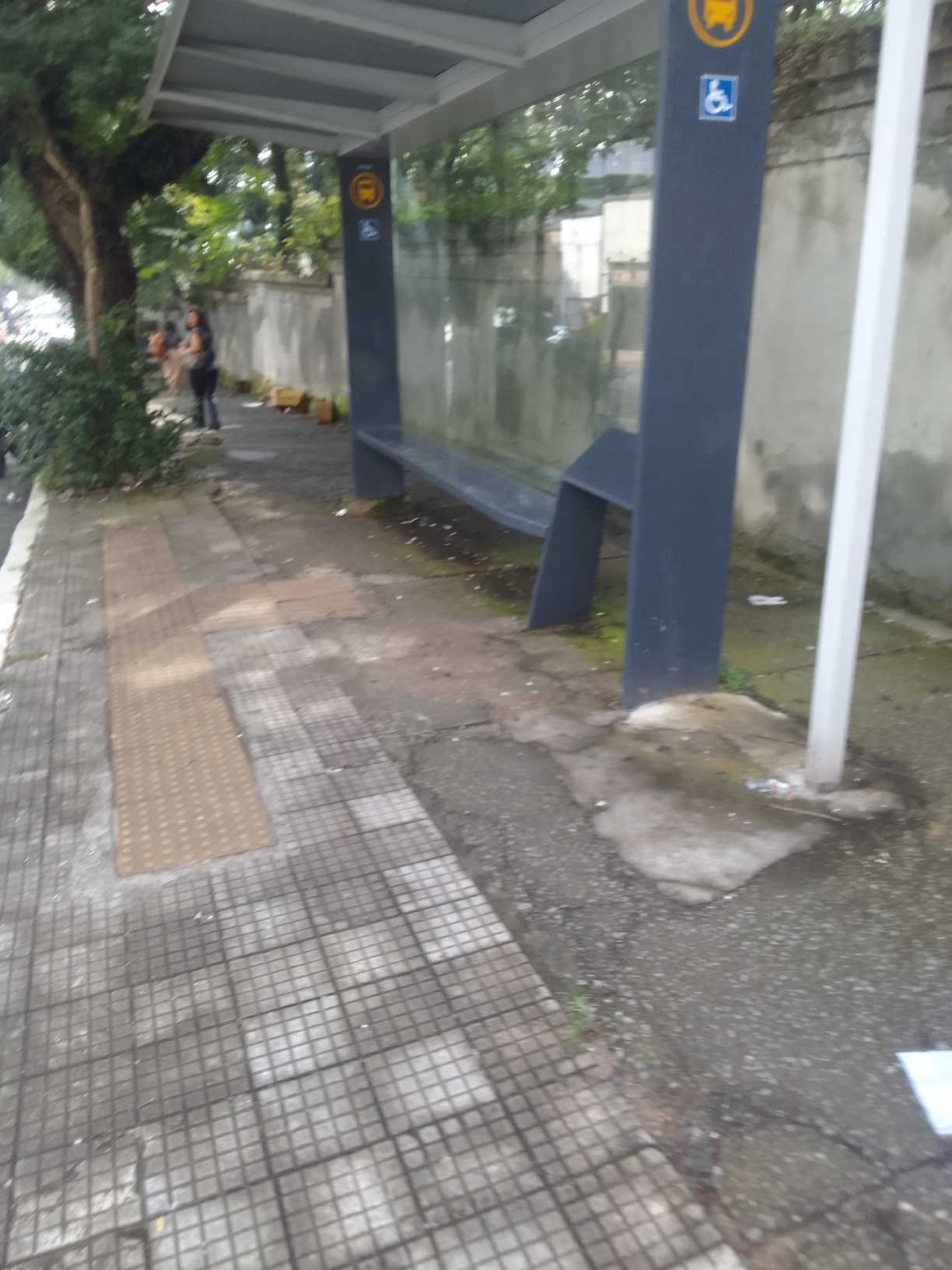 Taken by Anonymous
See R. Mato Grosso, 428 stop, Consolação, on the map
Public transit to R. Mato Grosso, 428 stop in Consolação
Looking for directions to R. Mato Grosso, 428 in Consolação, Brazil?
Download the Moovit App to find the current schedule and step-by-step directions for Bus, Metro or Train routes that pass through R. Mato Grosso, 428.
Looking for the nearest stops closest to R. Mato Grosso, 428 ? Check out this list of closest stops to your destination: Pedro Taques C/B; Av. Angélica; Pedro Taques B/C; R. Bela Cintra; Rua Antônio Carlos; Av. Angélica; R. Augusta; Consolação; Paulista - Pernambucanas.
Bus: 701A-10, 701U-10, 702C-10, 7245-10, 874T-10, 877T-10, 909T-1, 178L-10, 508L-10, 669A-10, 177H-10, 177H-21, 719P-10, 719R-10, 8700-21, 8700-24, N841-11.Metro: LINHA 2, LINHA 4.Train: LINHA 11, LINHA 8.
We make riding on public transit to R. Mato Grosso, 428 easy, which is why over 1.7 billion users, including users in Consolação trust Moovit as the best app for public transit.
Use the app to navigate to popular places including to the airport, hospital, stadium, grocery store, mall, coffee shop, school, college, and university.
The first line to this stop is N840-11, at 3:34 AM, and the last line is N840-11 at 2:34 AM.
199 Rua Coronel Jose Eusebio, São Paulo, Brazil
This stop serves SPTrans’s lines
- Pedro Taques C/B,
- Av. Angélica, 2404,
- Pedro Taques B/C,
- R. Bela Cintra, 769,
- Rua Antônio Carlos, 534,
- Av. Angélica, 2197,
- R. Augusta, 1149
Bus stops near R. Mato Grosso, 428 stop
- Consolação,
- Paulista - Pernambucanas
Metro stations near R. Mato Grosso, 428 station
- Ponto Final Emtu - Penha,
- Rod. Raposo Tavares Km 36,
- Parada Faria Lima B/C,
- Av. Morumbi, 5594,
- Shopping Ibirapuera C/B 1 • Metrô Eucaliptos,
- R. Leopoldo Couto de Magalhães Júnior, 758,
- Av. Agenor Couto de Magalhães, 310,
- Rua Sebastião Pereira, 245,
- Avenida Deputado Emílio Carlos, 3902,
- Av. Jurubatuba, 73,
- R. Clodomiro Amazonas, 1291,
- Rua Vereda Tropical, 186,
- Av. Arraias do Araguaia,
- Av. Miguel Achiole da Fonseca,
- Trianon-Masp,
- Estrada Da Represa,
- Avenida Paulista 900,
- Campo Limpo,
- Rua Aurélia, 39,
- Baltazar Fidélis
Popular public transit stations in Consolação
Get around Consolação by public transit!
Traveling around Consolação has never been so easy. See step by step directions as you travel to any attraction, street or major public transit station. View bus and train schedules, arrival times, service alerts and detailed routes on a map, so you know exactly how to get to anywhere in Consolação.
When traveling to any destination around Consolação use Moovit's Live Directions with Get Off Notifications to know exactly where and how far to walk, how long to wait for your line, and how many stops are left. Moovit will alert you when it's time to get off — no need to constantly re-check whether yours is the next stop.
Wondering how to use public transit in Consolação or how to pay for public transit in Consolação? Moovit public transit app can help you navigate your way with public transit easily, and at minimum cost. It includes public transit fees, ticket prices, and costs. Looking for a map of Consolação public transit lines? Moovit public transit app shows all public transit maps in Consolação with all Bus, Train, Metro, Light Rail, Ferry, Gondola, Cable Car and Funicular routes and stops on an interactive map.
Sao Paulo Region has 8 transit type(s), including: Bus, Train, Metro, Light Rail, Ferry, Gondola, Cable Car and Funicular, operated by several transit agencies, including SPTrans, CPTM, ViaMobilidade, Aquático SP, SPTRANS, EMTU, ViaQuatro, Auto Ônibus Moratense, GRU Airport (Aeroporto de Guarulhos), Auto Viação Urubupungá (Cajamar), Viação Cometa, Auto Viação Urubupungá (Osasco), Viação Ultra / Rápido Brasil, Auto Viação Urubupungá (Santana de Parnaíba) and Expresso Luxo