How to get to R McDonald's DDS by bus?
Click on the bus route to see step by step directions with maps, line arrival times and updated time schedules.
Bus stops near R McDonald's DDS in Roanoke County
Bus lines to R McDonald's DDS in Roanoke County
What are the closest stations to R McDonald's DDS?
The closest stations to R McDonald's DDS are:
- Tanglewood Mall at Tj Maxx is 846 yards away, 11 min walk.
- Electric Nb at Tanglewood Mall Driveway (Copper Croft Apartments) is 869 yards away, 11 min walk.
- Electric Road at Tanglewood Mall is 877 yards away, 11 min walk.
- Tanglewood Mall (Barnes And Noble) is 1146 yards away, 14 min walk.
Which bus line stops near R McDonald's DDS?
55 (Tanglewood Mall (Barnes And Noble))
What’s the nearest bus station to R McDonald's DDS in Roanoke County?
The nearest bus stations to R McDonald's DDS in Roanoke County are Tanglewood Mall at Tj Maxx, Electric Nb at Tanglewood Mall Driveway (Copper Croft Apartments) and Electric Road at Tanglewood Mall. The closest one is a 11 min walk away.
What time is the first bus to R McDonald's DDS in Roanoke County?
The 56 is the first bus that goes to R McDonald's DDS in Roanoke County. It stops nearby at 5:45 AM.
What time is the last bus to R McDonald's DDS in Roanoke County?
The 55 is the last bus that goes to R McDonald's DDS in Roanoke County. It stops nearby at 8:45 PM.
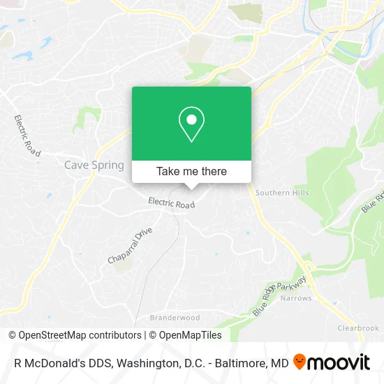
See R McDonald's DDS, Roanoke County, on the map
Public Transit to R McDonald's DDS in Roanoke County
Wondering how to get to R McDonald's DDS in Roanoke County? Moovit helps you find the best way to get to R McDonald's DDS with step-by-step directions from the nearest public transit station.
Moovit provides free maps and live directions to help you navigate through your city. View schedules, routes, timetables, and find out how long does it take to get to R McDonald's DDS in real time.
Looking for the nearest stop or station to R McDonald's DDS? Check out this list of stops closest to your destination: Tanglewood Mall at Tj Maxx; Electric Nb at Tanglewood Mall Driveway (Copper Croft Apartments); Electric Road at Tanglewood Mall; Tanglewood Mall (Barnes And Noble).
Bus: 55, 52, 51, 56.
Want to see if there’s another route that gets you there at an earlier time? Moovit helps you find alternative routes or times. Get directions from and directions to R McDonald's DDS easily from the Moovit App or Website.
We make riding to R McDonald's DDS easy, which is why over 1.5 million users, including users in Roanoke County, trust Moovit as the best app for public transit. You don’t need to download an individual bus app or train app, Moovit is your all-in-one transit app that helps you find the best bus time or train time available.
For information on prices of bus and train, costs and ride fares to R McDonald's DDS, please check the Moovit app.
Use the app to navigate to popular places including to the airport, hospital, stadium, grocery store, mall, coffee shop, school, college, and university.
R McDonald's DDS Address: 4437 Starkey Rd Roanoke, VA 24018 street in Roanoke County
- The Interventional Center,
- Jefferson Surgical Group,
- Valley Oral Surgery, PC,
- Larry R Meador DDS,
- Tuck Restaurant,
- CW Francis Real Estate,
- Performance Title & Settlement,
- Aaron Periodontics & Dental Implants,
- DRS Wolfe & Penn,
- Roanoke Neurological Center,
- Dr. John Gordon Burch M.D.,
- Beulah Heights,
- John F Zimmerman MD,
- Blue Ridge Research Center,
- Gregory W Evers do,
- David Delaplane MD,
- Daniel V Bauer MD,
- Robert B Mountcastle Jr MD,
- Jasmin Jerez-Marte MD,
- Physician Associates of Virginia PC
Places Near R McDonald's DDS (Roanoke County)
- PG Mall, Prince George's County,
- National Zoo, Washington,
- Marriott Marquis Washington, DC, Washington,
- Washington National Cathedral, Washington,
- National Theatre, Washington,
- Rock Creek Tennis Center, Washington,
- The Anthem, Washington,
- Pennsylvania Ave NW (3rd st and pennsylvania), Washington,
- Capital One Arena, Washington,
- Museum Of The Bible, Washington,
- Westfield Montgomery Mall, Montgomery County,
- National Museum of African American History and Culture, Washington,
- Georgetown, Washington,
- Camden Yards, Baltimore,
- M&T Bank Stadium, Baltimore,
- Sibley Memorial Hospital, Washington,
- Washington DC VA Medical Center, Washington,
- Basilica of the National Shrine, Washington,
- Warner Theatre, Washington,
- Amazon Hq2, Arlington County
How to get to popular places in Washington, D.C. - Baltimore, MD with public transit
Get around Roanoke County by public transit!
Traveling around Roanoke County has never been so easy. See step by step directions as you travel to any attraction, street or major public transit station. View bus and train schedules, arrival times, service alerts and detailed routes on a map, so you know exactly how to get to anywhere in Roanoke County.
When traveling to any destination around Roanoke County use Moovit's Live Directions with Get Off Notifications to know exactly where and how far to walk, how long to wait for your line, and how many stops are left. Moovit will alert you when it's time to get off — no need to constantly re-check whether yours is the next stop.
Wondering how to use public transit in Roanoke County or how to pay for public transit in Roanoke County? Moovit public transit app can help you navigate your way with public transit easily, and at minimum cost. It includes public transit fees, ticket prices, and costs. Looking for a map of Roanoke County public transit lines? Moovit public transit app shows all public transit maps in Roanoke County with all Bus, Train, Metro, Light Rail and Ferry routes and stops on an interactive map.
Washington, D.C. - Baltimore, MD has 5 transit type(s), including: Bus, Train, Metro, Light Rail and Ferry, operated by several transit agencies, including WMATA, Montgomery County Ride On, Fairfax Connector, TheBus, PRTC, DASH - Alexandria, Arlington Transit (ART), RTA of Central Maryland, MDOT MTA, MDOT MTA Light RailLink, MDOT MTA Commuter Bus, MDOT MTA Local Bus, FXBGO!, Virginia Railway Express (VRE) and MARC