R. Nebulosas stop - Wednesday schedule
| Line | Direction | Time |
|---|---|---|
| 4014-10 | Term. Vl. Carrão | 4:06 AM |
| 4056-10 | Term. São Mateus | 4:21 AM |
| 4014-10 | Term. Vl. Carrão | 4:36 AM |
| 4056-10 | Term. São Mateus | 4:41 AM |
| 4056-10 | Term. São Mateus | 5:01 AM |
| 4014-10 | Term. Vl. Carrão | 5:07 AM |
| 4014-10 | Term. Vl. Carrão | 5:17 AM |
| 4056-10 | Term. São Mateus | 5:23 AM |
| 4014-10 | Term. Vl. Carrão | 5:27 AM |
| 4014-10 | Term. Vl. Carrão | 5:37 AM |
| 4056-10 | Term. São Mateus | 5:38 AM |
| 4014-10 | Term. Vl. Carrão | 5:47 AM |
| 4056-10 | Term. São Mateus | 5:50 AM |
| 4014-10 | Term. Vl. Carrão | 5:57 AM |
| 4056-10 | Term. São Mateus | 6:02 AM |
| 4014-10 | Term. Vl. Carrão | 6:07 AM |
| 4056-10 | Term. São Mateus | 6:13 AM |
| 4014-10 | Term. Vl. Carrão | 6:17 AM |
| 4056-10 | Term. São Mateus | 6:23 AM |
| 4014-10 | Term. Vl. Carrão | 6:27 AM |
| 4056-10 | Term. São Mateus | 6:33 AM |
| 4014-10 | Term. Vl. Carrão | 6:37 AM |
| 4056-10 | Term. São Mateus | 6:43 AM |
| 4014-10 | Term. Vl. Carrão | 6:47 AM |
| 4056-10 | Term. São Mateus | 6:53 AM |
Directions to R. Nebulosas stop (São Mateus) with public transit
The following transit lines have routes that pass near R. Nebulosas
 Bus: 4014-10, 4033-10, 4056-10, 407E-10, N431-11.
- Metro: LINHA 15.
How to get to R. Nebulosas stop by bus?
Click on the bus route to see step by step directions with maps, line arrival times and updated time schedules.
How to get to R. Nebulosas stop by metro?
Click on the metro route to see step by step directions with maps, line arrival times and updated time schedules.
Bus stops near R. Nebulosas stop in São Mateus
- R. Nebulosas, 84, 1 min walk,
- Av. Satélite, 679, 1 min walk,
Metro stations near R. Nebulosas station in São Mateus
- São Mateus, 29 min walk,
Bus lines to R. Nebulosas stop in São Mateus
- 4056-10, Term. São Mateus,
- 407E-10, Jardim Santo André - Metrô Carrão,
- N431-11, Terminal São Mateus - Jardim Limoeiro (Circular),
- 3773-10, Residencial Santa Bárbara - Metrô Carrão,
- 4014-10, Jardim Vila Carrão - Terminal Vila Carrão,
What are the closest stations to R. Nebulosas?
The closest stations to R. Nebulosas are:
- R. Nebulosas, 84 stop is 22 meters away, 1 min walk.
- Av. Satélite, 679 stop is 74 meters away, 1 min walk.
- São Mateus station is 2280 meters away, 29 min walk.
Which bus lines stop near R. Nebulosas?
These bus lines stop near R. Nebulosas: 4014-10, 4033-10, 4056-10.
Which metro line stops near R. Nebulosas?
LINHA 15 (São Mateus)
What’s the nearest metro station to R. Nebulosas in São Mateus?
The nearest metro station to R. Nebulosas in São Mateus is São Mateus. It’s a 29 min walk away.
What’s the nearest bus station to R. Nebulosas in São Mateus?
The nearest bus stations to R. Nebulosas in São Mateus are R. Nebulosas, 84 and Av. Satélite, 679. The closest one is a 1 min walk away.
What time is the first metro to R. Nebulosas in São Mateus?
The LINHA 15 is the first metro that goes to R. Nebulosas in São Mateus. It stops nearby at 4:40 AM.
What time is the last metro to R. Nebulosas in São Mateus?
The LINHA 15 is the last metro that goes to R. Nebulosas in São Mateus. It stops nearby at 12:33 AM.
What time is the first bus to R. Nebulosas in São Mateus?
The N431-11 is the first bus that goes to R. Nebulosas in São Mateus. It stops nearby at 3:03 AM.
What time is the last bus to R. Nebulosas in São Mateus?
The N431-11 is the last bus that goes to R. Nebulosas in São Mateus. It stops nearby at 2:48 AM.
R. Nebulosas station
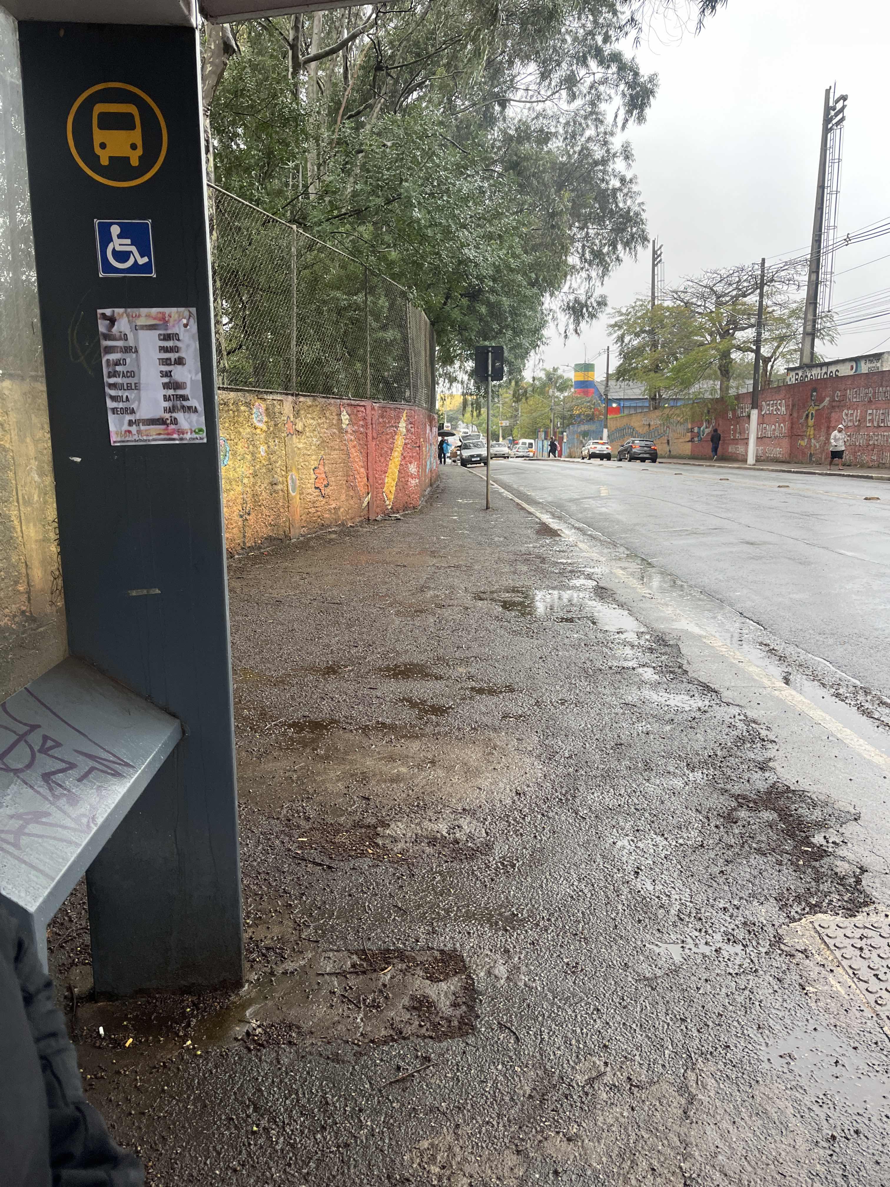 Taken by Anonymous
See R. Nebulosas stop, São Mateus, on the map
Public transit to R. Nebulosas stop in São Mateus
Looking for directions to R. Nebulosas in São Mateus, Brazil?
Download the Moovit App to find the current schedule and step-by-step directions for Bus or Metro routes that pass through R. Nebulosas.
Looking for the nearest stops closest to R. Nebulosas ? Check out this list of closest stops to your destination: R. Nebulosas; Av. Satélite; São Mateus.
Bus: 4014-10, 4033-10, 4056-10, 407E-10, N431-11, 3773-10.Metro: LINHA 15.
We make riding on public transit to R. Nebulosas easy, which is why over 1.7 billion users, including users in São Mateus trust Moovit as the best app for public transit.
Use the app to navigate to popular places including to the airport, hospital, stadium, grocery store, mall, coffee shop, school, college, and university.
The first line to this stop is 4014-10, at 4:06 AM, and the last line is 4056-10 at 12:21 AM.
671 Avenida Satelite, Mauá, Brazil
This stop serves SPTrans’s lines
- R. Nebulosas, 84,
- Av. Satélite, 679
Bus stops near R. Nebulosas stop
- São Mateus
Metro station near R. Nebulosas station
- Avenida Professor Ascendino Reis, 2524 • Metrô Aacd-Servidor,
- Av. João Carlos da Silva Borges, 111,
- Eucaliptos B/C,
- Cidade Jardim,
- Av. dos Nacionalistas, 920,
- Teatro Renault,
- Av. Mário Lopes Leão, 120,
- R. Federação Paulista de Futebol, 800,
- Av. Guilherme Cotching, 1757,
- R. S. Quirino, 1090,
- R. Joaquim Machado, 108,
- Avenida Antonelo da Messina, 650,
- Av. Pres. Juscelino Kubitschek, 627,
- Guarulhos-Cecap,
- Terminal Santo Amaro,
- R. Loefgreen, 2152,
- Avenida Brigadeiro Luís Antônio , 4008,
- Avenida Quinze de Novembro 213,
- R. Mergenthaler, 900,
- Av. Dep. Cantidio Sampaio, 3700
Popular public transit stations in São Mateus
Get around São Mateus by public transit!
Traveling around São Mateus has never been so easy. See step by step directions as you travel to any attraction, street or major public transit station. View bus and train schedules, arrival times, service alerts and detailed routes on a map, so you know exactly how to get to anywhere in São Mateus.
When traveling to any destination around São Mateus use Moovit's Live Directions with Get Off Notifications to know exactly where and how far to walk, how long to wait for your line, and how many stops are left. Moovit will alert you when it's time to get off — no need to constantly re-check whether yours is the next stop.
Wondering how to use public transit in São Mateus or how to pay for public transit in São Mateus? Moovit public transit app can help you navigate your way with public transit easily, and at minimum cost. It includes public transit fees, ticket prices, and costs. Looking for a map of São Mateus public transit lines? Moovit public transit app shows all public transit maps in São Mateus with all Bus, Train, Metro, Light Rail, Ferry, Gondola, Cable Car and Funicular routes and stops on an interactive map.
Sao Paulo Region has 8 transit type(s), including: Bus, Train, Metro, Light Rail, Ferry, Gondola, Cable Car and Funicular, operated by several transit agencies, including SPTrans, CPTM, ViaMobilidade, Aquático SP, SPTRANS, EMTU, ViaQuatro, Auto Ônibus Moratense, GRU Airport (Aeroporto de Guarulhos), Auto Viação Urubupungá (Cajamar), Viação Cometa, Auto Viação Urubupungá (Osasco), Viação Ultra / Rápido Brasil, Auto Viação Urubupungá (Santana de Parnaíba) and Expresso Luxo