R. Oyapock, 200 stop - Monday schedule
| Line | Direction | Time |
|---|---|---|
| 216 CABRAL / PORTÃO | Terminal Cabral → Terminal Portão | 5:15 AM |
| 216 CABRAL / PORTÃO | Terminal Cabral → Terminal Portão | 5:28 AM |
| 216 CABRAL / PORTÃO | Terminal Cabral → Terminal Portão | 5:41 AM |
| 216 CABRAL / PORTÃO | Terminal Cabral → Terminal Portão | 5:54 AM |
| 216 CABRAL / PORTÃO | Terminal Cabral → Terminal Portão | 6:07 AM |
| 216 CABRAL / PORTÃO | Terminal Cabral → Terminal Portão | 6:15 AM |
| 216 CABRAL / PORTÃO | Terminal Cabral → Terminal Portão | 6:23 AM |
| 387 PALOTINOS | Praça Rui Barbosa → Terminal Centenário | 6:27 AM |
| 216 CABRAL / PORTÃO | Terminal Cabral → Terminal Portão | 6:30 AM |
| 216 CABRAL / PORTÃO | Terminal Cabral → Terminal Portão | 6:37 AM |
| 216 CABRAL / PORTÃO | Terminal Cabral → Terminal Portão | 6:43 AM |
| 216 CABRAL / PORTÃO | Terminal Cabral → Terminal Portão | 6:49 AM |
| 216 CABRAL / PORTÃO | Terminal Cabral → Terminal Portão | 6:55 AM |
| 216 CABRAL / PORTÃO | Terminal Cabral → Terminal Portão | 7:01 AM |
| 387 PALOTINOS | Praça Rui Barbosa → Terminal Centenário | 7:06 AM |
| 216 CABRAL / PORTÃO | Terminal Cabral → Terminal Portão | 7:07 AM |
| 216 CABRAL / PORTÃO | Terminal Cabral → Terminal Portão | 7:18 AM |
| 216 CABRAL / PORTÃO | Terminal Cabral → Terminal Portão | 7:25 AM |
| 216 CABRAL / PORTÃO | Terminal Cabral → Terminal Portão | 7:32 AM |
| 216 CABRAL / PORTÃO | Terminal Cabral → Terminal Portão | 7:40 AM |
| 387 PALOTINOS | Praça Rui Barbosa → Terminal Centenário | 7:47 AM |
| 216 CABRAL / PORTÃO | Terminal Cabral → Terminal Portão | 7:48 AM |
| 216 CABRAL / PORTÃO | Terminal Cabral → Terminal Portão | 7:56 AM |
| 216 CABRAL / PORTÃO | Terminal Cabral → Terminal Portão | 8:04 AM |
| 216 CABRAL / PORTÃO | Terminal Cabral → Terminal Portão | 8:12 AM |
Directions to R. Oyapock, 200 stop (Cristo Rei) with public transit
The following transit lines have routes that pass near R. Oyapock, 200
 Bus: 216 CABRAL / PORTÃO, 303 CENTENÁRIO / CAMPO COMPRIDO, 385 CRISTO REI, 387 PALOTINOS, 386 CAJURU.
How to get to R. Oyapock, 200 stop by bus?
Click on the bus route to see step by step directions with maps, line arrival times and updated time schedules.
Bus stops near R. Oyapock, 200 stop in Cristo Rei
- Av. São José, 850, 1 min walk,
- R.Oyapock, 50, 5 min walk,
- Av. Marechal Humberto de Alencar Castelo Branco, 624, 6 min walk,
- Jardim Botânico, 7 min walk,
Bus lines to R. Oyapock, 200 stop in Cristo Rei
- 385 CRISTO REI, Cristo Rei → Rua 24 Horas ,
- 387 PALOTINOS, Terminal Centenário → Praça Rui Barbosa,
- 216 CABRAL / PORTÃO, Terminal Portão → Terminal Cabral,
- 386 CAJURU, Cajuru (Universidade do Esporte) → Praça Carlos Gomes,
- C01 PINHAIS / RUI BARBOSA, Praça Rui Barbosa → Terminal Pinhais,
- 302 CENTENÁRIO / RUI BARBOSA, Praça Osório → Terminal Centenário,
- 303 CENTENÁRIO / CAMPO COMPRIDO, Terminal Campo Comprido → Terminal Centenário,
What are the closest stations to R. Oyapock, 200?
The closest stations to R. Oyapock, 200 are:
- Av. São José, 850 stop is 13 meters away, 1 min walk.
- R.Oyapock, 50 stop is 344 meters away, 5 min walk.
- Av. Marechal Humberto de Alencar Castelo Branco, 624 stop is 435 meters away, 6 min walk.
- Jardim Botânico stop is 463 meters away, 7 min walk.
Which bus lines stop near R. Oyapock, 200?
These bus lines stop near R. Oyapock, 200: 216 CABRAL / PORTÃO, 303 CENTENÁRIO / CAMPO COMPRIDO, 385 CRISTO REI, 387 PALOTINOS.
What’s the nearest bus station to R. Oyapock, 200 in Cristo Rei?
The nearest bus station to R. Oyapock, 200 in Cristo Rei is Av. São José, 850. It’s a 1 min walk away.
What time is the first bus to R. Oyapock, 200 in Cristo Rei?
The 216 CABRAL / PORTÃO is the first bus that goes to R. Oyapock, 200 in Cristo Rei. It stops nearby at 5:14 AM.
What time is the last bus to R. Oyapock, 200 in Cristo Rei?
The 387 PALOTINOS is the last bus that goes to R. Oyapock, 200 in Cristo Rei. It stops nearby at 12:33 AM.
R. Oyapock, 200 station
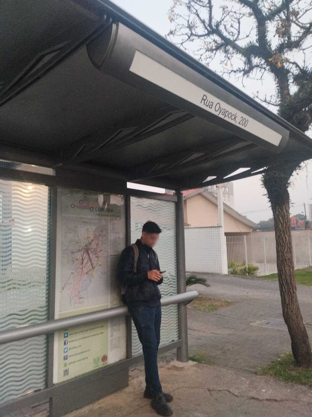 Taken by Ingrid B.
See R. Oyapock, 200 stop, Cristo Rei, on the map
Public transit to R. Oyapock, 200 stop (ID: 130149) in Cristo Rei
Looking for directions to R. Oyapock, 200 in Cristo Rei, Brazil?
Download the Moovit App to find the current schedule and step-by-step directions for Bus routes that pass through R. Oyapock, 200.
Looking for the nearest stops closest to R. Oyapock, 200 ? Check out this list of closest stops to your destination: Av. São José; R.Oyapock; Av. Marechal Humberto de Alencar Castelo Branco; Jardim Botânico.
Bus: 216 CABRAL / PORTÃO, 303 CENTENÁRIO / CAMPO COMPRIDO, 385 CRISTO REI, 387 PALOTINOS, 386 CAJURU, C01 PINHAIS / RUI BARBOSA, 302 CENTENÁRIO / RUI BARBOSA.
We make riding on public transit to R. Oyapock, 200 easy, which is why over 1.7 billion users, including users in Cristo Rei trust Moovit as the best app for public transit.
Use the app to navigate to popular places including to the airport, hospital, stadium, grocery store, mall, coffee shop, school, college, and university.
R. Oyapock, 200 stop’s code is 130149
The first line to this stop is 216 CABRAL / PORTÃO, at 5:15 AM, and the last line is 387 PALOTINOS at 12:32 AM.
259 Rua Oyapock, Curitiba, Brazil
This stop serves URBS (Cartões bancários / Cartão URBS)’s lines
Popular routes from R. Oyapock, 200 stop, Cristo Rei
- Av. São José, 850,
- R.Oyapock, 50,
- Av. Marechal Humberto de Alencar Castelo Branco, 624,
- Jardim Botânico
Bus stops near R. Oyapock, 200 stop
- Rodovia Br 476 (Estrada Da Ribeira),
- R. Adélio Corrêa, 437,
- Estr. da Ribeira BR-476, 651,
- R. XV de Novembro, 2000,
- Rua 31 De Março, 2943,
- R. Fernando de Noronha, 1044,
- Av. Presidente Getúlio Vargas, 4272,
- Rua Professor Duílio Calderari, 1370,
- Marginal Linha Verde Norte, 4021 (Hospital Vita Curitiba),
- Av. Visconde de Guarapuava, 2056,
- R. Visconde De Nácar, 1510 (Rua do Comércio 24 Horas),
- Rua Sérvia,
- Rua Luiz França, 231,
- Rua Londres, 1599,
- R. Carlos Dietzsch, 755,
- R. Itupava, 1000,
- Guadalupe (206 / 505),
- Av. Presidente Getúlio Vargas, 2300,
- Av. Silva Jardim, 1627 (Hospital Pequeno Príncipe),
- Marginal Linha Verde Norte - Muffato Max
Popular public transit stations in Cristo Rei
Get around Cristo Rei by public transit!
Traveling around Cristo Rei has never been so easy. See step by step directions as you travel to any attraction, street or major public transit station. View bus and train schedules, arrival times, service alerts and detailed routes on a map, so you know exactly how to get to anywhere in Cristo Rei.
When traveling to any destination around Cristo Rei use Moovit's Live Directions with Get Off Notifications to know exactly where and how far to walk, how long to wait for your line, and how many stops are left. Moovit will alert you when it's time to get off — no need to constantly re-check whether yours is the next stop.
Wondering how to use public transit in Cristo Rei or how to pay for public transit in Cristo Rei? Moovit public transit app can help you navigate your way with public transit easily, and at minimum cost. It includes public transit fees, ticket prices, and costs. Looking for a map of Cristo Rei public transit lines? Moovit public transit app shows all public transit maps in Cristo Rei with all Bus and Cable Car routes and stops on an interactive map.
Curitiba Region has 2 transit type(s), including: Bus and Cable Car, operated by several transit agencies, including Sistema Integrado de Mobilidade (URBS), Sistema Integrado de Mobilidade (AMEP), URBS (Cartões bancários e Dinheiro), URBS (Cartões bancários / Cartão URBS), AMEP (Cartões bancários / Cartão MetroCard), AMEP (Cartões bancários / Cartão MetroCard / Dinheiro), Viação Colombo (Dinheiro), TRIAR (Cartão TRIAR / Dinheiro), Empresa Curitiba Cerro Azul (Dinheiro), Expresso Penha (Dinheiro), Empresa Campo Alto Tijucas (Dinheiro), Auto Viação São José (Cartão VEM / Dinheiro), BRT S/A (Cartão VEM / Dinheiro), TransPiedade (Cartão Cidadão / Dinheiro) and Oceânica Sul (Cartão Transporte / Dinheiro)