R. Peroba, 269 stop - Wednesday schedule
| Line | Direction | Time |
|---|---|---|
| 6091-10 | Vargem Grande | 3:11 AM |
| 6091-10 | Term. Sto. Amaro | 3:20 AM |
| 6091-10 | Term. Sto. Amaro | 3:33 AM |
| 6091-10 | Term. Sto. Amaro | 3:47 AM |
| 6091-10 | Term. Sto. Amaro | 4:00 AM |
| 6091-10 | Term. Sto. Amaro | 4:10 AM |
| 6091-10 | Term. Sto. Amaro | 4:20 AM |
| 6091-10 | Term. Sto. Amaro | 4:30 AM |
| 6091-10 | Term. Sto. Amaro | 4:40 AM |
| 6091-10 | Term. Sto. Amaro | 4:50 AM |
| 6091-10 | Term. Sto. Amaro | 5:00 AM |
| 6091-10 | Term. Sto. Amaro | 5:12 AM |
| 6091-10 | Term. Sto. Amaro | 5:24 AM |
| 6091-10 | Term. Sto. Amaro | 5:36 AM |
| 6091-10 | Term. Sto. Amaro | 5:46 AM |
| 6091-10 | Term. Sto. Amaro | 5:55 AM |
| 6091-10 | Term. Sto. Amaro | 6:11 AM |
| 6091-10 | Vargem Grande | 6:15 AM |
| 6091-10 | Term. Sto. Amaro | 6:23 AM |
| 6091-10 | Vargem Grande | 6:30 AM |
| 6091-10 | Term. Sto. Amaro | 6:35 AM |
| 6091-10 | Vargem Grande | 6:44 AM |
| 6091-10 | Term. Sto. Amaro | 6:45 AM |
| 6091-10 | Term. Sto. Amaro | 6:56 AM |
| 6091-10 | Vargem Grande | 6:59 AM |
Directions to R. Peroba, 269 stop (Parelheiros) with public transit
The following transit lines have routes that pass near R. Peroba, 269
 Bus: 6091-10, N639-11, 6093-10.
How to get to R. Peroba, 269 stop by bus?
Click on the bus route to see step by step directions with maps, line arrival times and updated time schedules.
Bus stops near R. Peroba, 269 stop in Parelheiros
- Av. das Palmeiras, 126, 6 min walk,
Bus lines to R. Peroba, 269 stop in Parelheiros
- N639-11, Terminal Grajaú - Vargem Grande (Circular),
- 6091-10, Vargem Grande - Terminal Santo Amaro,
- 6093-10, Vargem Grande - Terminal Grajaú,
What are the closest stations to R. Peroba, 269?
The closest stations to R. Peroba, 269 are:
- Av. das Palmeiras, 126 stop is 468 meters away, 6 min walk.
Which bus line stops near R. Peroba, 269?
6091-10 (Vargem Grande)
What’s the nearest bus station to R. Peroba, 269 in Parelheiros?
The nearest bus station to R. Peroba, 269 in Parelheiros is Av. das Palmeiras, 126. It’s a 6 min walk away.
What time is the first bus to R. Peroba, 269 in Parelheiros?
The N639-11 is the first bus that goes to R. Peroba, 269 in Parelheiros. It stops nearby at 3:00 AM.
What time is the last bus to R. Peroba, 269 in Parelheiros?
The 6091-10 is the last bus that goes to R. Peroba, 269 in Parelheiros. It stops nearby at 3:10 AM.
R. Peroba, 269 station
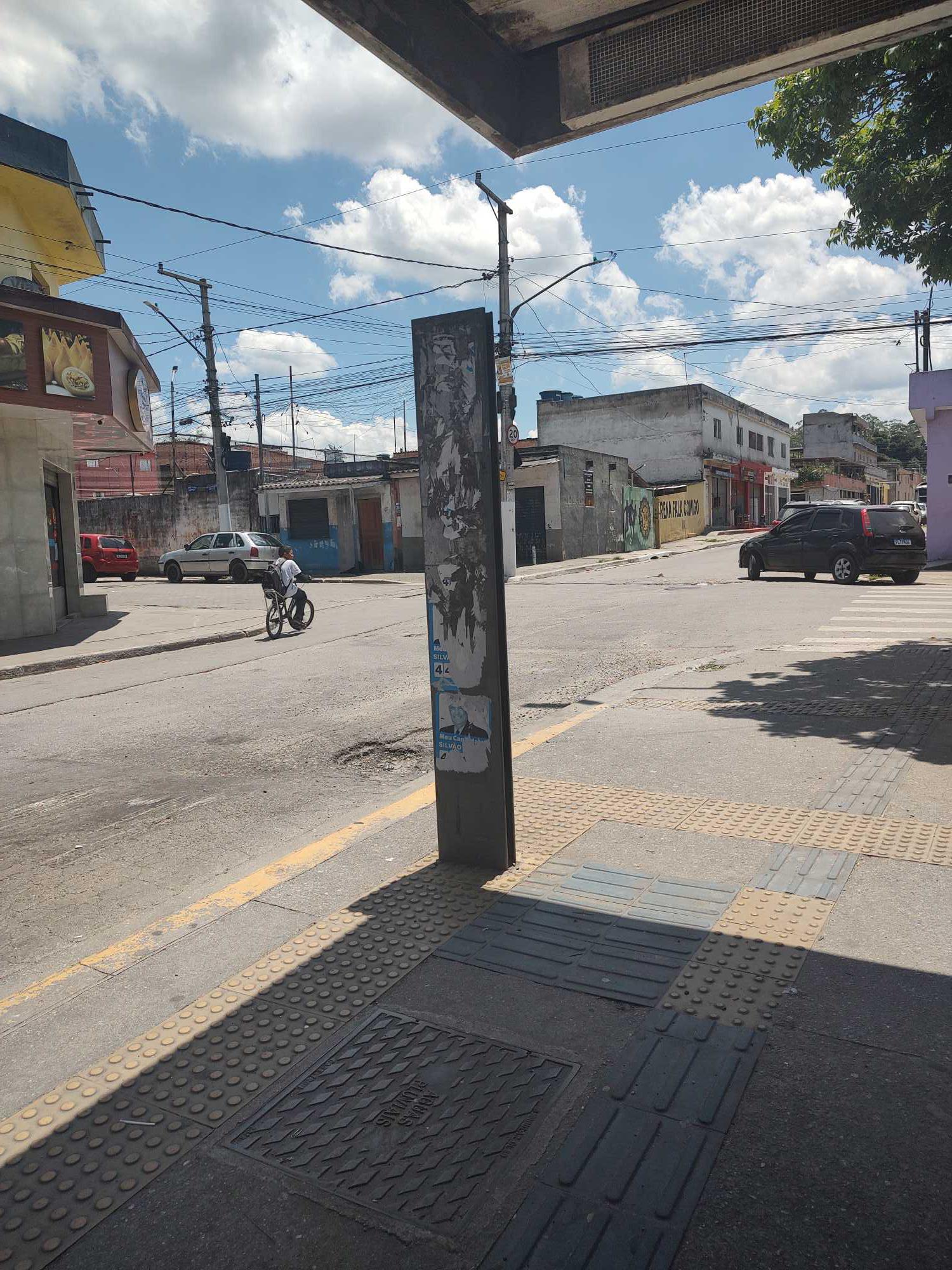 Taken by Anonymous
See R. Peroba, 269 stop, Parelheiros, on the map
Public transit to R. Peroba, 269 stop in Parelheiros
Looking for directions to R. Peroba, 269 in Parelheiros, Brazil?
Download the Moovit App to find the current schedule and step-by-step directions for Bus routes that pass through R. Peroba, 269.
Looking for the nearest stops closest to R. Peroba, 269 ? Check out this list of closest stops to your destination: Av. das Palmeiras.
Bus: 6091-10, N639-11, 6093-10.
We make riding on public transit to R. Peroba, 269 easy, which is why over 1.7 billion users, including users in Parelheiros trust Moovit as the best app for public transit.
Use the app to navigate to popular places including to the airport, hospital, stadium, grocery store, mall, coffee shop, school, college, and university.
The first line to this stop is 6091-10, at 3:11 AM, and the last line is 6091-10 at 2:50 AM.
66 Rua Peroba, São Paulo, Brazil
This stop serves SPTrans’s lines
- Av. das Palmeiras, 126
Bus stop near R. Peroba, 269 stop
- Vila Madalena,
- Terminal Metro Belém Norte,
- Utinga,
- Rua Adolfo Gordo,
- Trianon-Masp,
- Av. Aguiar da Beira, 917,
- Terminal Vila Nova Cachoeirinha,
- Avenida Deputado Cantídio Sampaio , 5647,
- Avenida Cruzeiro Do Sul 2453,
- Terminal Penha,
- R. Castor, 51,
- Av. Eduardo Pereira Ramos, 231,
- Av. Santos Dumont,
- Imperatriz Leopoldina,
- Terminal Paço- São Bernardo,
- Av. Eng. Euzébio Stevaux, 823,
- Av. Paula Ferreira, 3715,
- Av. Miguel Achiole da Fonseca,
- Itaquaquecetuba,
- Av. Morumbi, 4884
Popular public transit stations in Parelheiros
Get around Parelheiros by public transit!
Traveling around Parelheiros has never been so easy. See step by step directions as you travel to any attraction, street or major public transit station. View bus and train schedules, arrival times, service alerts and detailed routes on a map, so you know exactly how to get to anywhere in Parelheiros.
When traveling to any destination around Parelheiros use Moovit's Live Directions with Get Off Notifications to know exactly where and how far to walk, how long to wait for your line, and how many stops are left. Moovit will alert you when it's time to get off — no need to constantly re-check whether yours is the next stop.
Wondering how to use public transit in Parelheiros or how to pay for public transit in Parelheiros? Moovit public transit app can help you navigate your way with public transit easily, and at minimum cost. It includes public transit fees, ticket prices, and costs. Looking for a map of Parelheiros public transit lines? Moovit public transit app shows all public transit maps in Parelheiros with all Bus, Train, Metro, Light Rail, Ferry, Gondola, Cable Car and Funicular routes and stops on an interactive map.
Sao Paulo Region has 8 transit type(s), including: Bus, Train, Metro, Light Rail, Ferry, Gondola, Cable Car and Funicular, operated by several transit agencies, including SPTrans, CPTM, ViaMobilidade, Aquático SP, SPTRANS, EMTU, ViaQuatro, Auto Ônibus Moratense, GRU Airport (Aeroporto de Guarulhos), Auto Viação Urubupungá (Cajamar), Viação Cometa, Auto Viação Urubupungá (Osasco), Viação Ultra / Rápido Brasil, Auto Viação Urubupungá (Santana de Parnaíba) and Expresso Luxo