R. Perseu, 338 stop - Friday schedule
| Line | Direction | Time |
|---|---|---|
| N431-11 | Jd. Limoeiro | 4:15 AM |
| 4056-10 | Pq. Boa Esperança | 4:49 AM |
| 4056-10 | Pq. Boa Esperança | 5:15 AM |
| N431-11 | Jd. Limoeiro | 5:27 AM |
| 4056-10 | Pq. Boa Esperança | 5:35 AM |
| 4056-10 | Pq. Boa Esperança | 5:55 AM |
| 4056-10 | Pq. Boa Esperança | 6:13 AM |
| 4056-10 | Pq. Boa Esperança | 6:25 AM |
| 4056-10 | Pq. Boa Esperança | 6:37 AM |
| 4056-10 | Pq. Boa Esperança | 6:49 AM |
| 4056-10 | Pq. Boa Esperança | 7:01 AM |
| 4056-10 | Pq. Boa Esperança | 7:16 AM |
| 4056-10 | Pq. Boa Esperança | 7:28 AM |
| 4056-10 | Pq. Boa Esperança | 7:40 AM |
| 4056-10 | Pq. Boa Esperança | 7:52 AM |
| 4056-10 | Pq. Boa Esperança | 8:04 AM |
| 4056-10 | Pq. Boa Esperança | 8:16 AM |
| 4056-10 | Pq. Boa Esperança | 8:28 AM |
| 4056-10 | Pq. Boa Esperança | 8:43 AM |
| 4056-10 | Pq. Boa Esperança | 8:58 AM |
| 4056-10 | Pq. Boa Esperança | 9:18 AM |
| 4056-10 | Pq. Boa Esperança | 9:38 AM |
| 4056-10 | Pq. Boa Esperança | 9:58 AM |
| 4056-10 | Pq. Boa Esperança | 10:16 AM |
| 4056-10 | Pq. Boa Esperança | 10:36 AM |
Directions to R. Perseu, 338 stop (São Mateus) with public transit
The following transit lines have routes that pass near R. Perseu, 338
 Bus: 4056-10, N431-11, 4014-10, 407E-10, 3773-10.
- Metro: LINHA 15.
How to get to R. Perseu, 338 stop by bus?
Click on the bus route to see step by step directions with maps, line arrival times and updated time schedules.
Bus stops near R. Perseu, 338 stop in São Mateus
- R. Sol, 448, 2 min walk,
- R. Amalteia, 4 min walk,
- R. Castor, 51, 12 min walk,
Metro stations near R. Perseu, 338 station in São Mateus
- Fazenda da Juta, 10 min walk,
Bus lines to R. Perseu, 338 stop in São Mateus
- N431-11, Jd. Limoeiro,
- 4056-10, Term. São Mateus,
- 4014-10, Term. Vl. Carrão,
- 407E-10, Jardim São Francisco (Via Jardim Santo André) - Metrô Carrão,
- 3773-10, Residencial Santa Bárbara - Metrô Carrão,
What are the closest stations to R. Perseu, 338?
The closest stations to R. Perseu, 338 are:
- R. Sol, 448 is 93 meters away, 2 min walk.
- R. Amalteia is 291 meters away, 4 min walk.
- Fazenda da Juta is 737 meters away, 10 min walk.
- R. Castor, 51 is 930 meters away, 12 min walk.
Which bus line stops near R. Perseu, 338?
4056-10 (Pq. Boa Esperança)
What’s the nearest metro station to R. Perseu, 338 in São Mateus?
The nearest metro station to R. Perseu, 338 in São Mateus is Fazenda da Juta. It’s a 10 min walk away.
What’s the nearest bus station to R. Perseu, 338 in São Mateus?
The nearest bus station to R. Perseu, 338 in São Mateus is R. Sol, 448. It’s a 2 min walk away.
What time is the first metro to R. Perseu, 338 in São Mateus?
The LINHA 15 is the first metro that goes to R. Perseu, 338 in São Mateus. It stops nearby at 4:40 AM.
What time is the last metro to R. Perseu, 338 in São Mateus?
The LINHA 15 is the last metro that goes to R. Perseu, 338 in São Mateus. It stops nearby at 12:33 AM.
What time is the first bus to R. Perseu, 338 in São Mateus?
The N431-11 is the first bus that goes to R. Perseu, 338 in São Mateus. It stops nearby at 3:06 AM.
What time is the last bus to R. Perseu, 338 in São Mateus?
The N431-11 is the last bus that goes to R. Perseu, 338 in São Mateus. It stops nearby at 2:46 AM.
R. Perseu, 338 station
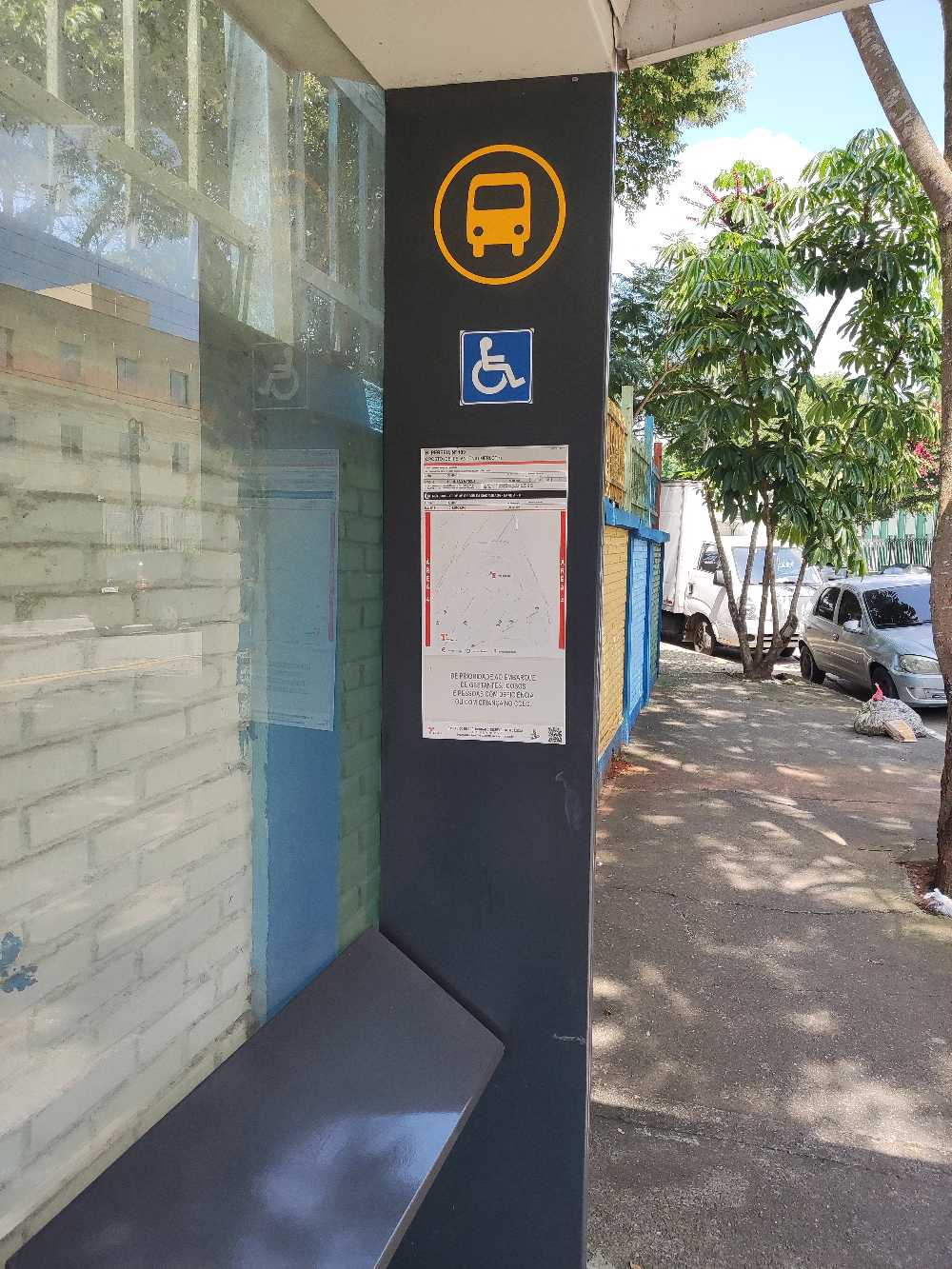 Taken by Luis H.
See R. Perseu, 338 stop, São Mateus, on the map
Public transit to R. Perseu, 338 stop in São Mateus
Looking for directions to R. Perseu, 338 in São Mateus, Brazil?
Download the Moovit App to find the current schedule and step-by-step directions for Bus routes that pass through R. Perseu, 338.
Looking for the nearest stops closest to R. Perseu, 338 ? Check out this list of closest stops to your destination: R. Sol; R. Amalteia; Fazenda da Juta; R. Castor.
Bus: 4056-10, N431-11, 4014-10, 407E-10, 3773-10.Metro: LINHA 15.
We make riding on public transit to R. Perseu, 338 easy, which is why over 1.5 million users, including users in São Mateus trust Moovit as the best app for public transit.
Use the app to navigate to popular places including to the airport, hospital, stadium, grocery store, mall, coffee shop, school, college, and university.
The first line to this stop is N431-11, at 4:15 AM, and the last line is N431-11 at 2:45 AM.
This stop serves SPTrans’s lines
- R. Sol, 448,
- R. Amalteia,
- R. Castor, 51
Bus stops near R. Perseu, 338 stop
- Fazenda da Juta
Metro station near R. Perseu, 338 station
- Av. Brig. Faria Lima, 3730,
- Avenida César Magnani,
- Terminal Metropolitano Piraporinha,
- Rua Heitor Penteado, 1230 • Metrô Vila Madalena,
- Parada Oscar Freire B/C,
- Antonio Gianetti Neto,
- Caieiras,
- Av. Jean Khoury Farah, 450,
- Rua São Caetano, 948,
- Utinga,
- Avenida Ellis Maas,
- Avenida Adolfo Pinheiro 1000,
- Av. Inajar de Souza, 1857,
- Av. Agenor Couto de Magalhães, 1470,
- João Cachoeira B/C,
- Av. Forte do Leme, 360,
- Avenida Guilherme Cotching, 915,
- Clinicas B/C,
- Avenida Universitário, 585 - Alphaville Santana de Parnaíba,
- R. Prudente de Morais, 265
Popular public transit stations in São Mateus
Get around São Mateus by public transit!
Traveling around São Mateus has never been so easy. See step by step directions as you travel to any attraction, street or major public transit station. View bus and train schedules, arrival times, service alerts and detailed routes on a map, so you know exactly how to get to anywhere in São Mateus.
When traveling to any destination around São Mateus use Moovit's Live Directions with Get Off Notifications to know exactly where and how far to walk, how long to wait for your line, and how many stops are left. Moovit will alert you when it's time to get off — no need to constantly re-check whether yours is the next stop.
Wondering how to use public transit in São Mateus or how to pay for public transit in São Mateus? Moovit public transit app can help you navigate your way with public transit easily, and at minimum cost. It includes public transit fees, ticket prices, and costs. Looking for a map of São Mateus public transit lines? Moovit public transit app shows all public transit maps in São Mateus with all Bus, Train, Metro, Light Rail, Ferry, Gondola, Cable Car and Funicular routes and stops on an interactive map.
Sao Paulo Region has 8 transit type(s), including: Bus, Train, Metro, Light Rail, Ferry, Gondola, Cable Car and Funicular, operated by several transit agencies, including Metrô de São Paulo, ViaQuatro, ViaMobilidade, CPTM, Aquático SP, SPTrans, EMTU, Auto Ônibus Moratense, GRU Airport (Aeroporto de Guarulhos), Auto Viação Urubupungá (Cajamar), Viação Cometa, Auto Viação Urubupungá (Osasco), Viação Ultra / Rápido Brasil, Auto Viação Urubupungá (Santana de Parnaíba) and Expresso Luxo