R. Ribeiro Lacerda, 349 stop - Thursday schedule
| Line | Direction | Time |
|---|---|---|
| 4732-31 | Vl. Liviero | 5:00 AM |
| 4732-10 | Vl. Liviero | 5:10 AM |
| 4732-10 | Vl. Liviero | 5:28 AM |
| 4732-31 | Vl. Liviero | 5:31 AM |
| 4732-10 | Vl. Liviero | 5:50 AM |
| 4732-31 | Vl. Liviero | 6:01 AM |
| 4732-10 | Vl. Liviero | 6:08 AM |
| 4032-10 | Vl. das Mercês | 6:11 AM |
| 4732-31 | Vl. Liviero | 6:20 AM |
| 4732-10 | Vl. Liviero | 6:26 AM |
| 4032-10 | Vl. das Mercês | 6:31 AM |
| 4732-31 | Vl. Liviero | 6:34 AM |
| 4732-10 | Vl. Liviero | 6:40 AM |
| 4732-31 | Vl. Liviero | 6:48 AM |
| 4032-10 | Vl. das Mercês | 6:59 AM |
| 4732-10 | Vl. Liviero | 6:59 AM |
| 4732-31 | Vl. Liviero | 7:02 AM |
| 4732-31 | Vl. Liviero | 7:18 AM |
| 4732-10 | Vl. Liviero | 7:18 AM |
| 4032-10 | Vl. das Mercês | 7:27 AM |
| 4732-31 | Vl. Liviero | 7:29 AM |
| 4732-10 | Vl. Liviero | 7:34 AM |
| 4732-31 | Vl. Liviero | 7:38 AM |
| 4732-31 | Vl. Liviero | 7:47 AM |
| 4732-10 | Vl. Liviero | 7:51 AM |
Directions to R. Ribeiro Lacerda, 349 stop (Cursino) with public transit
The following transit lines have routes that pass near R. Ribeiro Lacerda, 349
 Bus: 236, 4032-10, 4732-10, 4732-31, 5108-10.
- Metro: LINHA 1, LINHA 2.
How to get to R. Ribeiro Lacerda, 349 stop by bus?
Click on the bus route to see step by step directions with maps, line arrival times and updated time schedules.
How to get to R. Ribeiro Lacerda, 349 stop by metro?
Click on the metro route to see step by step directions with maps, line arrival times and updated time schedules.
Bus stops near R. Ribeiro Lacerda, 349 stop in Cursino
- R. Ribeiro Lacerda, 308, 3 min walk,
- R. Ribeiro Lacerda, 607, 4 min walk,
- Av. do Cursino, 2237, 4 min walk,
- R. Ribeiro Lacerda, 76, 4 min walk,
- R. D. Macário, 1360, 6 min walk,
- Praça Frei Miguel Lanzani 181, 8 min walk,
- Pça. Frei Miguel Lanzani, 127, 8 min walk,
Metro stations near R. Ribeiro Lacerda, 349 station in Cursino
- Praça da Árvore, 12 min walk,
- Alto do Ipiranga, 34 min walk,
Bus lines to R. Ribeiro Lacerda, 349 stop in Cursino
- 4732-10, Metrô Saúde,
- 4732-31, Metrô Saúde,
- 4032-10, Objetivo UNIP,
- N538-11, Jd. Celeste,
- 4718-10, Metrô Sta. Cruz,
- 4725-10, Shop. Ibirapuera,
- 4727-10, Metrô Pça. da Árvore,
- 5021-10, Term. Sacomã,
- 5108-10, Term. Pq. D. Pedro II,
- 5108-21, Metrô Alto do Ipiranga,
- 236, Sao Paulo (Terminal Sacoma),
- 4717-10, Metrô Saúde,
- 5033-10, Vl. Brasilina,
- 4716-10, Metrô Sta. Cruz,
- 4114-10, Term. Pq. D. Pedro II,
- 475M-10, Term. Amaral Gurgel,
What are the closest stations to R. Ribeiro Lacerda, 349?
The closest stations to R. Ribeiro Lacerda, 349 are:
- R. Ribeiro Lacerda, 308 stop is 154 meters away, 3 min walk.
- R. Ribeiro Lacerda, 607 stop is 239 meters away, 4 min walk.
- Av. do Cursino, 2237 stop is 254 meters away, 4 min walk.
- R. Ribeiro Lacerda, 76 stop is 279 meters away, 4 min walk.
- R. D. Macário, 1360 stop is 454 meters away, 6 min walk.
- Praça Frei Miguel Lanzani 181 stop is 565 meters away, 8 min walk.
- Pça. Frei Miguel Lanzani, 127 stop is 570 meters away, 8 min walk.
- Praça da Árvore station is 882 meters away, 12 min walk.
- Alto do Ipiranga station is 2645 meters away, 34 min walk.
Which bus lines stop near R. Ribeiro Lacerda, 349?
These bus lines stop near R. Ribeiro Lacerda, 349: 236, 4032-10, 4732-10, 4732-31, 5108-10.
Which metro line stops near R. Ribeiro Lacerda, 349?
LINHA 1 (Jabaquara)
What’s the nearest metro station to R. Ribeiro Lacerda, 349 in Cursino?
The nearest metro station to R. Ribeiro Lacerda, 349 in Cursino is Praça da Árvore. It’s a 12 min walk away.
What’s the nearest bus station to R. Ribeiro Lacerda, 349 in Cursino?
The nearest bus station to R. Ribeiro Lacerda, 349 in Cursino is R. Ribeiro Lacerda, 308. It’s a 3 min walk away.
What time is the first metro to R. Ribeiro Lacerda, 349 in Cursino?
The LINHA 1 is the first metro that goes to R. Ribeiro Lacerda, 349 in Cursino. It stops nearby at 4:42 AM.
What time is the last metro to R. Ribeiro Lacerda, 349 in Cursino?
The LINHA 1 is the last metro that goes to R. Ribeiro Lacerda, 349 in Cursino. It stops nearby at 12:41 AM.
What time is the first bus to R. Ribeiro Lacerda, 349 in Cursino?
The N538-11 is the first bus that goes to R. Ribeiro Lacerda, 349 in Cursino. It stops nearby at 3:15 AM.
What time is the last bus to R. Ribeiro Lacerda, 349 in Cursino?
The N538-11 is the last bus that goes to R. Ribeiro Lacerda, 349 in Cursino. It stops nearby at 2:57 AM.
R. Ribeiro Lacerda, 349 station
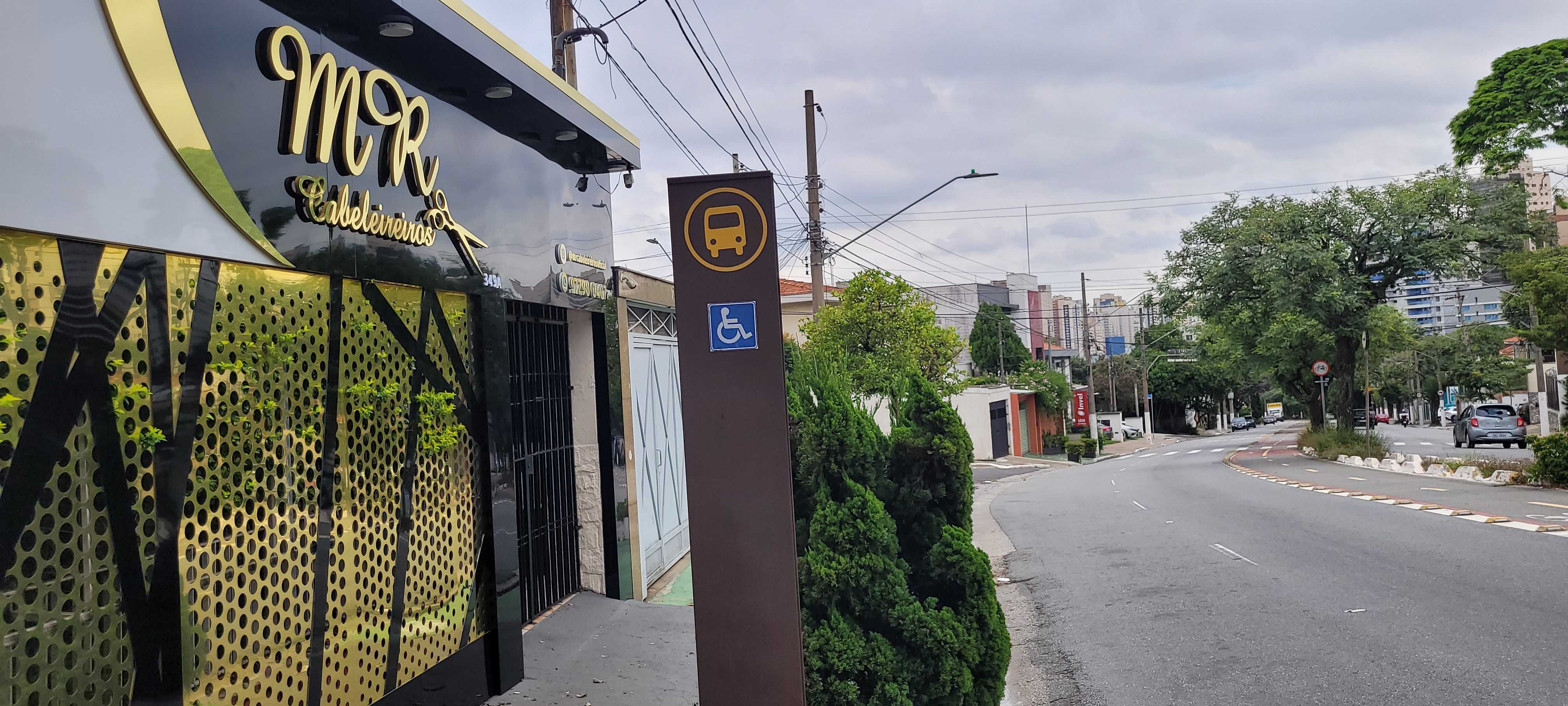 Taken by Anonymous
See R. Ribeiro Lacerda, 349 stop, Cursino, on the map
Public transit to R. Ribeiro Lacerda, 349 stop in Cursino
Looking for directions to R. Ribeiro Lacerda, 349 in Cursino, Brazil?
Download the Moovit App to find the current schedule and step-by-step directions for Bus or Metro routes that pass through R. Ribeiro Lacerda, 349.
Looking for the nearest stops closest to R. Ribeiro Lacerda, 349 ? Check out this list of closest stops to your destination: R. Ribeiro Lacerda; R. Ribeiro Lacerda; Av. do Cursino; R. Ribeiro Lacerda; R. D. Macário; Praça Frei Miguel Lanzani 181; Pça. Frei Miguel Lanzani; Praça da Árvore; Alto do Ipiranga.
Bus: 236, 4032-10, 4732-10, 4732-31, 5108-10, N538-11, 4718-10, 4725-10, 4727-10, 5021-10, 4717-10, 5033-10.Metro: LINHA 1, LINHA 2.
We make riding on public transit to R. Ribeiro Lacerda, 349 easy, which is why over 1.7 billion users, including users in Cursino trust Moovit as the best app for public transit.
Use the app to navigate to popular places including to the airport, hospital, stadium, grocery store, mall, coffee shop, school, college, and university.
The first line to this stop is 4732-31, at 5:00 AM, and the last line is 4732-31 at 12:50 AM.
355 Rua Ribeiro Lacerda, São Paulo, Brazil
This stop serves SPTrans’s lines
- R. Ribeiro Lacerda, 308,
- R. Ribeiro Lacerda, 607,
- Av. do Cursino, 2237,
- R. Ribeiro Lacerda, 76,
- R. D. Macário, 1360,
- Praça Frei Miguel Lanzani 181,
- Pça. Frei Miguel Lanzani, 127
Bus stops near R. Ribeiro Lacerda, 349 stop
- Praça da Árvore,
- Alto do Ipiranga
Metro stations near R. Ribeiro Lacerda, 349 station
- Rua Benedito De Carvalho Filho (N. 12 Escola),
- Br-116 Rod. Régis Bittencourt, Km 332,2 Norte - dos Rosas, Juquitiba,
- Estrada Da Represa,
- Rodovia Índio Tibiriçá,
- Estudantes,
- Av. Arruda Botelho 255,
- R. Dr. Tomaz Carvalhal, 147,
- Av. Jurubatuba, 73,
- Av. Amador Bueno da Veiga, 3015,
- Av. Tiradentes, 615,
- Jundiaí,
- Jardim São Paulo-Ayrton Senna,
- Avenida Paulista 901,
- Av. Inácio Cunha Leme, 552,
- Av. Clavasio Alves da Silva, 683,
- Av. Francisco Falconi, 837,
- Hospital Campo Limpo B/C,
- Hilário B/C,
- Avenida 23 De Maio 412,
- Avenida Nordestina, 4704
Popular public transit stations in Cursino
Get around Cursino by public transit!
Traveling around Cursino has never been so easy. See step by step directions as you travel to any attraction, street or major public transit station. View bus and train schedules, arrival times, service alerts and detailed routes on a map, so you know exactly how to get to anywhere in Cursino.
When traveling to any destination around Cursino use Moovit's Live Directions with Get Off Notifications to know exactly where and how far to walk, how long to wait for your line, and how many stops are left. Moovit will alert you when it's time to get off — no need to constantly re-check whether yours is the next stop.
Wondering how to use public transit in Cursino or how to pay for public transit in Cursino? Moovit public transit app can help you navigate your way with public transit easily, and at minimum cost. It includes public transit fees, ticket prices, and costs. Looking for a map of Cursino public transit lines? Moovit public transit app shows all public transit maps in Cursino with all Bus, Train, Metro, Light Rail, Ferry, Gondola, Cable Car and Funicular routes and stops on an interactive map.
Sao Paulo Region has 8 transit type(s), including: Bus, Train, Metro, Light Rail, Ferry, Gondola, Cable Car and Funicular, operated by several transit agencies, including SPTrans, CPTM, ViaMobilidade, Aquático SP, SPTRANS, EMTU, ViaQuatro, Auto Ônibus Moratense, GRU Airport (Aeroporto de Guarulhos), Auto Viação Urubupungá (Cajamar), Viação Cometa, Auto Viação Urubupungá (Osasco), Viação Ultra / Rápido Brasil, Auto Viação Urubupungá (Santana de Parnaíba) and Expresso Luxo