R. S. Filipe Neri, 66 stop - Wednesday schedule
| Line | Direction | Time |
|---|---|---|
| N242-11 | Jd. Campo Limpo | 3:29 AM |
| 2028-10 | Metrô Tucuruvi | 4:32 AM |
| 1703-10 | Shop. Center Norte | 4:33 AM |
| 1703-10 | Shop. Center Norte | 4:48 AM |
| N242-11 | Jd. Campo Limpo | 4:49 AM |
| 2028-10 | Metrô Tucuruvi | 5:02 AM |
| 1703-10 | Shop. Center Norte | 5:03 AM |
| 1788-31 | Metrô Santana | 5:14 AM |
| 1703-10 | Shop. Center Norte | 5:18 AM |
| 2028-10 | Metrô Tucuruvi | 5:22 AM |
| 1703-10 | Shop. Center Norte | 5:33 AM |
| 1788-31 | Metrô Santana | 5:34 AM |
| 2028-10 | Metrô Tucuruvi | 5:42 AM |
| 1703-10 | Shop. Center Norte | 5:48 AM |
| 1788-31 | Metrô Santana | 5:54 AM |
| 2028-10 | Metrô Tucuruvi | 6:02 AM |
| 1703-10 | Shop. Center Norte | 6:03 AM |
| 1788-31 | Metrô Santana | 6:14 AM |
| 2028-10 | Metrô Tucuruvi | 6:17 AM |
| 1703-10 | Shop. Center Norte | 6:17 AM |
| 1703-10 | Shop. Center Norte | 6:31 AM |
| 2028-10 | Metrô Tucuruvi | 6:32 AM |
| 1788-31 | Metrô Santana | 6:34 AM |
| 1703-10 | Shop. Center Norte | 6:45 AM |
| 2028-10 | Metrô Tucuruvi | 6:47 AM |
Directions to R. S. Filipe Neri, 66 stop (Tremembé) with public transit
The following transit lines have routes that pass near R. S. Filipe Neri, 66
 Bus: 042, 1703-10, 172P-10, 1773-10, 179X-10.
How to get to R. S. Filipe Neri, 66 stop by bus?
Click on the bus route to see step by step directions with maps, line arrival times and updated time schedules.
Bus stops near R. S. Filipe Neri, 66 stop in Tremembé
- R. S. Basilio Magno, 30, 1 min walk,
- Rua Augusto Rodrigues 396, 4 min walk,
- R. Ushikichi Kamiya, 1032, 8 min walk,
Bus lines to R. S. Filipe Neri, 66 stop in Tremembé
- 179X-10, Metrô Barra Funda,
- N242-11, Jd. Campo Limpo,
- 1703-10, Shop. Center Norte,
- 1788-31, Jd. Fontalis,
- 2028-10, Vl. Ayrosa,
- 1788-10, Jd. Fontális,
- 172P-10, Vila Zilda - Metrô Belém,
- 172U-10, Cemitério Parque Dos Pinheiros - Mooca,
- N238-11, Metrô Santana - Cemitério Parque Dos Pinheiros (Circular),
- 1726-10, Cemitério Parque Dos Pinheiros - Metrô Santana,
- 1773-10, Cemitério Parque Dos Pinheiros - Mandaqui,
What are the closest stations to R. S. Filipe Neri, 66?
The closest stations to R. S. Filipe Neri, 66 are:
- R. S. Basilio Magno, 30 stop is 50 meters away, 1 min walk.
- Rua Augusto Rodrigues 396 stop is 306 meters away, 4 min walk.
- R. Ushikichi Kamiya, 1032 stop is 563 meters away, 8 min walk.
Which bus lines stop near R. S. Filipe Neri, 66?
These bus lines stop near R. S. Filipe Neri, 66: 042, 1703-10, 172P-10, 1773-10, 179X-10, 2028-10.
What’s the nearest bus station to R. S. Filipe Neri, 66 in Tremembé?
The nearest bus station to R. S. Filipe Neri, 66 in Tremembé is R. S. Basilio Magno, 30. It’s a 1 min walk away.
What time is the first bus to R. S. Filipe Neri, 66 in Tremembé?
The N242-11 is the first bus that goes to R. S. Filipe Neri, 66 in Tremembé. It stops nearby at 3:21 AM.
What time is the last bus to R. S. Filipe Neri, 66 in Tremembé?
The N238-11 is the last bus that goes to R. S. Filipe Neri, 66 in Tremembé. It stops nearby at 3:33 AM.
R. S. Filipe Neri, 66 station
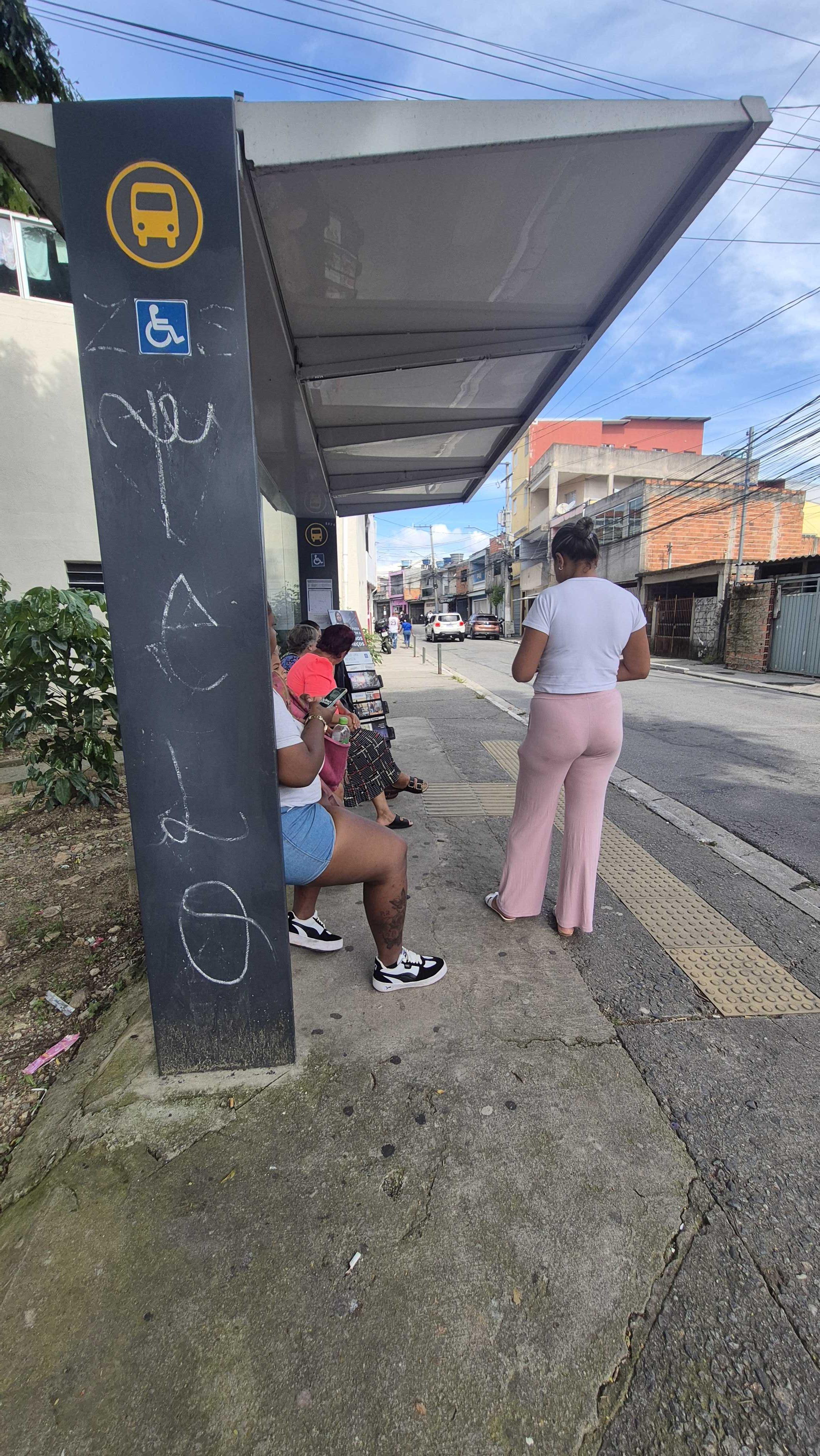 Taken by Anonymous
See R. S. Filipe Neri, 66 stop, Tremembé, on the map
Public transit to R. S. Filipe Neri, 66 stop in Tremembé
Looking for directions to R. S. Filipe Neri, 66 in Tremembé, Brazil?
Download the Moovit App to find the current schedule and step-by-step directions for Bus routes that pass through R. S. Filipe Neri, 66.
Looking for the nearest stops closest to R. S. Filipe Neri, 66 ? Check out this list of closest stops to your destination: R. S. Basilio Magno; Rua Augusto Rodrigues 396; R. Ushikichi Kamiya.
Bus: 042, 1703-10, 172P-10, 1773-10, 179X-10, 2028-10, N242-11, 1788-31, 1788-10, 172U-10, N238-11, 1726-10.
We make riding on public transit to R. S. Filipe Neri, 66 easy, which is why over 1.7 billion users, including users in Tremembé trust Moovit as the best app for public transit.
Use the app to navigate to popular places including to the airport, hospital, stadium, grocery store, mall, coffee shop, school, college, and university.
The first line to this stop is N242-11, at 3:29 AM, and the last line is N242-11 at 2:09 AM.
This stop serves SPTrans’s lines
- R. S. Basilio Magno, 30,
- Rua Augusto Rodrigues 396,
- R. Ushikichi Kamiya, 1032
Bus stops near R. S. Filipe Neri, 66 stop
- Av. Rio das Pedras, 3620,
- Parada Condominio Arua (Oposto Portaria 2 Arua),
- R. Eng. Oscar Americano, 840,
- Avenida Rangel Pestana,
- Rua Padre Adelino,
- Av. Cel. Sezefredo Fagundes, 5550,
- Av. Europa, 444,
- Av. Prof. Francisco Morato,
- Rua Loefgreen, 1057 - Metrô Santa Cruz,
- Avenida Doutor Guilherme Dumont Vilares 1030,
- Terminal Santana de Parnaíba,
- Rua Heitor Penteado, 1230 • Metrô Vila Madalena,
- Av. Guilherme Cotching, 640,
- Rodovia Prefeito Francisco Ribeiro Nogueira Km 70,
- Av. Rouxinol, 82 - Jardim Valeria, Guarulhos,
- Adolfo Pinheiro,
- Av. Luiz Carlos Gentile de Laet, 96,
- R. Manuel da Mota Coutinho, 996,
- Br-116 Rod. Régis Bittencourt, Km 332,2 Norte - dos Rosas, Juquitiba,
- Av. Benedito Andrade, 126
Popular public transit stations in Tremembé
Get around Tremembé by public transit!
Traveling around Tremembé has never been so easy. See step by step directions as you travel to any attraction, street or major public transit station. View bus and train schedules, arrival times, service alerts and detailed routes on a map, so you know exactly how to get to anywhere in Tremembé.
When traveling to any destination around Tremembé use Moovit's Live Directions with Get Off Notifications to know exactly where and how far to walk, how long to wait for your line, and how many stops are left. Moovit will alert you when it's time to get off — no need to constantly re-check whether yours is the next stop.
Wondering how to use public transit in Tremembé or how to pay for public transit in Tremembé? Moovit public transit app can help you navigate your way with public transit easily, and at minimum cost. It includes public transit fees, ticket prices, and costs. Looking for a map of Tremembé public transit lines? Moovit public transit app shows all public transit maps in Tremembé with all Bus, Train, Metro, Light Rail, Ferry, Gondola, Cable Car and Funicular routes and stops on an interactive map.
Sao Paulo Region has 8 transit type(s), including: Bus, Train, Metro, Light Rail, Ferry, Gondola, Cable Car and Funicular, operated by several transit agencies, including SPTrans, CPTM, ViaMobilidade, Aquático SP, SPTRANS, EMTU, ViaQuatro, Auto Ônibus Moratense, GRU Airport (Aeroporto de Guarulhos), Auto Viação Urubupungá (Cajamar), Viação Cometa, Auto Viação Urubupungá (Osasco), Viação Ultra / Rápido Brasil, Auto Viação Urubupungá (Santana de Parnaíba) and Expresso Luxo