R. S. Sebastião, 296 stop - Wednesday schedule
| Line | Direction | Time |
|---|---|---|
| 675A-10 | Pq. Sto. Antonio | 5:30 AM |
| 5318-10 | Chác. Santana | 5:43 AM |
| 675A-10 | Pq. Sto. Antonio | 5:55 AM |
| 5318-10 | Chác. Santana | 6:13 AM |
| 675A-10 | Pq. Sto. Antonio | 6:20 AM |
| 5318-10 | Chác. Santana | 6:33 AM |
| 675A-10 | Pq. Sto. Antonio | 6:45 AM |
| 5318-10 | Chác. Santana | 6:53 AM |
| 675A-10 | Pq. Sto. Antonio | 7:14 AM |
| 5318-10 | Chác. Santana | 7:17 AM |
| 5318-10 | Chác. Santana | 7:31 AM |
| 5318-10 | Chác. Santana | 7:46 AM |
| 675A-10 | Pq. Sto. Antonio | 7:46 AM |
| 5318-10 | Chác. Santana | 7:59 AM |
| 5318-10 | Chác. Santana | 8:10 AM |
| 675A-10 | Pq. Sto. Antonio | 8:11 AM |
| 5318-10 | Chác. Santana | 8:21 AM |
| 5318-10 | Chác. Santana | 8:32 AM |
| 675A-10 | Pq. Sto. Antonio | 8:36 AM |
| 5318-10 | Chác. Santana | 8:42 AM |
| 5318-10 | Chác. Santana | 8:52 AM |
| 675A-10 | Pq. Sto. Antonio | 8:56 AM |
| 5318-10 | Chác. Santana | 9:03 AM |
| 675A-10 | Pq. Sto. Antonio | 9:11 AM |
| 5318-10 | Chác. Santana | 9:14 AM |
Directions to R. S. Sebastião, 296 stop (Santo Amaro) with public transit
The following transit lines have routes that pass near R. S. Sebastião, 296
 Bus: 5318-10, 669A-10, 675K-10, 695T-1, 695T-10.
- Train: LINHA 9.
- Metro: LINHA 5, LINHA 17.
How to get to R. S. Sebastião, 296 stop by bus?
Click on the bus route to see step by step directions with maps, line arrival times and updated time schedules.
How to get to R. S. Sebastião, 296 stop by train?
Click on the train route to see step by step directions with maps, line arrival times and updated time schedules.
How to get to R. S. Sebastião, 296 stop by metro?
Click on the metro route to see step by step directions with maps, line arrival times and updated time schedules.
Bus stops near R. S. Sebastião, 296 stop in Santo Amaro
- Rua Do Estilo Barroco, • Metrô Borba Gato, 2 min walk,
- Da Paz (Santo Amaro) • Metrô Borba Gato, 3 min walk,
- Parada da Paz, 5 min walk,
- Bela Vista C/B, 5 min walk,
- Bela Vista B/C, 6 min walk,
Metro stations near R. S. Sebastião, 296 station in Santo Amaro
- Brooklin, 9 min walk,
- José Diniz, 23 min walk,
Train stations near R. S. Sebastião, 296 station in Santo Amaro
- Morumbi, 31 min walk,
Bus lines to R. S. Sebastião, 296 stop in Santo Amaro
- 607M-10, Terminal Grajaú - Terminal Água Espraiada,
- 736G-10, Jardim Ingá - Shopping Morumbi,
- 6422-10, Vila Cruzeiro - Terminal Bandeira,
- 7245-10, Terminal Santo Amaro - Hospital Das Clínicas,
- 7245-21, Terminal Santo Amaro - Terminal Água Espraiada,
- 476A-10, Ipiranga - Terminal Santo Amaro,
- 637G-10, Grajaú - Pinheiros,
- 637J-10, Vila São José - Pinheiros,
- 637P-10, Terminal Santo Amaro - Terminal Pinheiros,
- 637G-51, Jardim Eliana - Pinheiros,
- 669A-10, Terminal Santo Amaro - Terminal Princesa Isabel,
- N701-11, Terminal Santo Amaro - Terminal Parque Dom Pedro Ii,
- 709G-10, Terminal Guarapiranga - Itaim Bibi (Circular),
- 709M-10, Terminal Santo Amaro - Terminal Pinheiros,
- 856R-10, Lapa - Socorro,
- 5111-10, Terminal Santo Amaro - Terminal Parque Dom Pedro Ii,
- 6414-10, Socorro - Terminal Bandeira,
- 6500-10, Terminal Santo Amaro - Terminal Bandeira,
- 6505-10, Terminal Guarapiranga - Terminal Bandeira,
- 6913-10, Terminal Varginha - Terminal Bandeira,
What are the closest stations to R. S. Sebastião, 296?
The closest stations to R. S. Sebastião, 296 are:
- Rua Do Estilo Barroco, • Metrô Borba Gato stop is 103 meters away, 2 min walk.
- Da Paz (Santo Amaro) • Metrô Borba Gato stop is 179 meters away, 3 min walk.
- Parada da Paz stop is 314 meters away, 5 min walk.
- Bela Vista C/B stop is 360 meters away, 5 min walk.
- Bela Vista B/C stop is 448 meters away, 6 min walk.
- Brooklin station is 647 meters away, 9 min walk.
- José Diniz station is 1734 meters away, 23 min walk.
- Morumbi station is 2384 meters away, 31 min walk.
Which bus lines stop near R. S. Sebastião, 296?
These bus lines stop near R. S. Sebastião, 296: 5318-10, 669A-10, 675K-10, 695T-1, 695T-10, 695V-1.
Which train line stops near R. S. Sebastião, 296?
LINHA 9 (Grajaú)
Which metro line stops near R. S. Sebastião, 296?
LINHA 5 (Capão Redondo)
What’s the nearest metro station to R. S. Sebastião, 296 in Santo Amaro?
The nearest metro station to R. S. Sebastião, 296 in Santo Amaro is Brooklin. It’s a 9 min walk away.
What’s the nearest bus station to R. S. Sebastião, 296 in Santo Amaro?
The nearest bus station to R. S. Sebastião, 296 in Santo Amaro is Rua Do Estilo Barroco, • Metrô Borba Gato. It’s a 2 min walk away.
What time is the first metro to R. S. Sebastião, 296 in Santo Amaro?
The LINHA 5 is the first metro that goes to R. S. Sebastião, 296 in Santo Amaro. It stops nearby at 4:52 AM.
What time is the last metro to R. S. Sebastião, 296 in Santo Amaro?
The LINHA 5 is the last metro that goes to R. S. Sebastião, 296 in Santo Amaro. It stops nearby at 12:18 AM.
What time is the first train to R. S. Sebastião, 296 in Santo Amaro?
The LINHA 9 is the first train that goes to R. S. Sebastião, 296 in Santo Amaro. It stops nearby at 4:17 AM.
What time is the last train to R. S. Sebastião, 296 in Santo Amaro?
The LINHA 9 is the last train that goes to R. S. Sebastião, 296 in Santo Amaro. It stops nearby at 12:23 AM.
What time is the first bus to R. S. Sebastião, 296 in Santo Amaro?
The N702-11 is the first bus that goes to R. S. Sebastião, 296 in Santo Amaro. It stops nearby at 3:00 AM.
What time is the last bus to R. S. Sebastião, 296 in Santo Amaro?
The N701-11 is the last bus that goes to R. S. Sebastião, 296 in Santo Amaro. It stops nearby at 3:47 AM.
R. S. Sebastião, 296 station
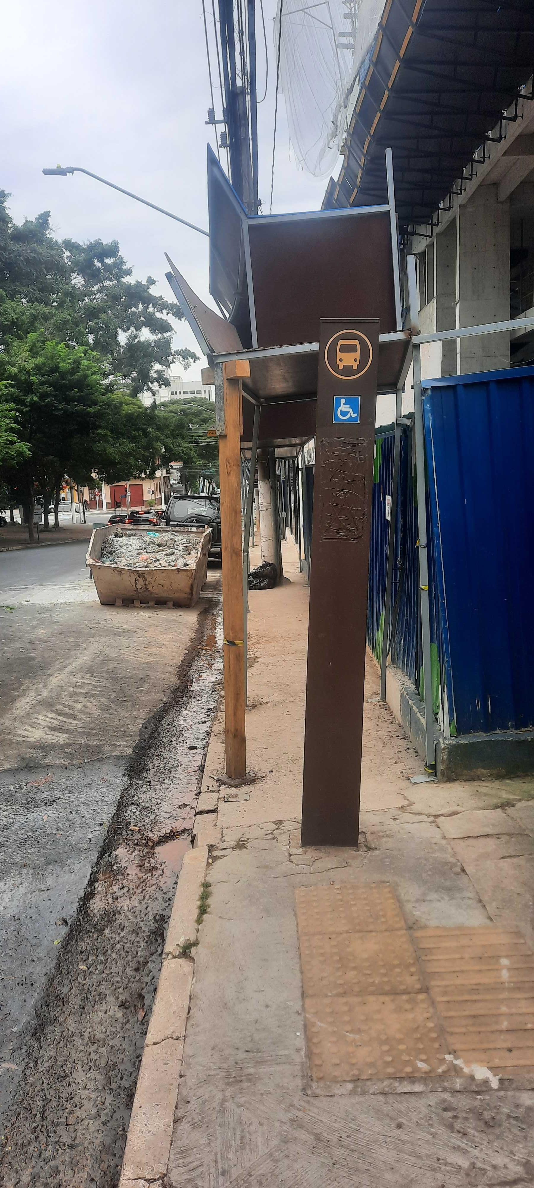 Taken by Anonymous
See R. S. Sebastião, 296 stop, Santo Amaro, on the map
Public transit to R. S. Sebastião, 296 stop in Santo Amaro
Looking for directions to R. S. Sebastião, 296 in Santo Amaro, Brazil?
Download the Moovit App to find the current schedule and step-by-step directions for Metro, Bus or Train routes that pass through R. S. Sebastião, 296.
Looking for the nearest stops closest to R. S. Sebastião, 296 ? Check out this list of closest stops to your destination: Rua Do Estilo Barroco; Da Paz (Santo Amaro) • Metrô Borba Gato; Parada da Paz; Bela Vista C/B; Bela Vista B/C; Brooklin; José Diniz; Morumbi.
Bus: 5318-10, 669A-10, 675K-10, 695T-1, 695T-10, 695V-1, 607M-10, 736G-10, 6422-10, 7245-10, 7245-21, 476A-10, 637G-10, 637J-10, 637P-10, 637G-51, 675A-10, 675I-10, 857C-10, 6450-10.Train: LINHA 9.Metro: LINHA 5, LINHA 17.
We make riding on public transit to R. S. Sebastião, 296 easy, which is why over 1.7 billion users, including users in Santo Amaro trust Moovit as the best app for public transit.
Use the app to navigate to popular places including to the airport, hospital, stadium, grocery store, mall, coffee shop, school, college, and university.
The first line to this stop is 675A-10, at 5:30 AM, and the last line is 675A-10 at 1:53 AM.
348 Rua Sao Sebastiao, São Paulo, Brazil
This stop serves SPTrans’s lines
- Rua Do Estilo Barroco, • Metrô Borba Gato,
- Da Paz (Santo Amaro) • Metrô Borba Gato,
- Parada da Paz,
- Bela Vista C/B,
- Bela Vista B/C
Bus stops near R. S. Sebastião, 296 stop
- Brooklin,
- José Diniz
Metro stations near R. S. Sebastião, 296 station
- Morumbi
Train station near R. S. Sebastião, 296 station
- Av. Manuel Bandeira, 360 - Vila Leopoldina, São Paulo,
- Santa Cruz,
- Ponto Final Portal D'Oeste,
- Av. Benedito Andrade, 126,
- Av. das Cerejeiras, 1335,
- Av. Osvaldo Valle Cordeiro, 228,
- Terminal Jabaquara,
- Shopping Ibirapuera C/B 1 • Metrô Eucaliptos,
- Brigadeiro,
- Rua Padre Álvaro Quinhones Zuniga 474,
- Av. Antonio Sylvio Cunha Bueno, 539 - Inamar, Diadema,
- Avenida Marechal Tito 6037,
- Av. João Pedro Cardoso, 158,
- Av. Gaspar Vaz da Cunha, 314,
- R. Dr. Djalma Pinheiro Franco, 1028,
- R. Gomes de Carvalho, 1507,
- Luz,
- 14 Bis B/C,
- Rodovia Prefeito Francisco Ribeiro Nogueira Km 70,
- Av. Otaviano Alves de Lima
Popular public transit stations in Santo Amaro
Get around Santo Amaro by public transit!
Traveling around Santo Amaro has never been so easy. See step by step directions as you travel to any attraction, street or major public transit station. View bus and train schedules, arrival times, service alerts and detailed routes on a map, so you know exactly how to get to anywhere in Santo Amaro.
When traveling to any destination around Santo Amaro use Moovit's Live Directions with Get Off Notifications to know exactly where and how far to walk, how long to wait for your line, and how many stops are left. Moovit will alert you when it's time to get off — no need to constantly re-check whether yours is the next stop.
Wondering how to use public transit in Santo Amaro or how to pay for public transit in Santo Amaro? Moovit public transit app can help you navigate your way with public transit easily, and at minimum cost. It includes public transit fees, ticket prices, and costs. Looking for a map of Santo Amaro public transit lines? Moovit public transit app shows all public transit maps in Santo Amaro with all Bus, Train, Metro, Light Rail, Ferry, Gondola, Cable Car and Funicular routes and stops on an interactive map.
Sao Paulo Region has 8 transit type(s), including: Bus, Train, Metro, Light Rail, Ferry, Gondola, Cable Car and Funicular, operated by several transit agencies, including SPTrans, CPTM, ViaMobilidade, Aquático SP, SPTRANS, EMTU, ViaQuatro, Auto Ônibus Moratense, GRU Airport (Aeroporto de Guarulhos), Auto Viação Urubupungá (Cajamar), Viação Cometa, Auto Viação Urubupungá (Osasco), Viação Ultra / Rápido Brasil, Auto Viação Urubupungá (Santana de Parnaíba) and Expresso Luxo