R. Sapetuba, 166 stop - Monday schedule
| Line | Direction | Time |
|---|---|---|
| N842-11 | COHAB Raposo Tavares | 3:15 AM |
| N842-11 | COHAB Raposo Tavares | 4:15 AM |
| 7903-10 | Pça. Ramos de Azevedo | 4:40 AM |
| 8610-10 | Term. Bandeira | 5:06 AM |
| 7545-10 | Pça. Ramos de Azevedo | 5:09 AM |
| N842-11 | COHAB Raposo Tavares | 5:16 AM |
| 7545-10 | Pça. Ramos de Azevedo | 5:26 AM |
| 8610-10 | Term. Bandeira | 5:27 AM |
| 7545-10 | Pça. Ramos de Azevedo | 5:42 AM |
| 7903-10 | Pça. Ramos de Azevedo | 5:43 AM |
| 8610-10 | Term. Bandeira | 5:49 AM |
| 7545-10 | Pça. Ramos de Azevedo | 5:52 AM |
| 7903-10 | Pça. Ramos de Azevedo | 5:58 AM |
| 7545-10 | Pça. Ramos de Azevedo | 6:02 AM |
| 8610-10 | Term. Bandeira | 6:04 AM |
| 7545-10 | Pça. Ramos de Azevedo | 6:12 AM |
| 7903-10 | Pça. Ramos de Azevedo | 6:13 AM |
| 8610-10 | Term. Bandeira | 6:19 AM |
| N842-11 | COHAB Raposo Tavares | 6:21 AM |
| 7545-10 | Pça. Ramos de Azevedo | 6:22 AM |
| 7903-10 | Pça. Ramos de Azevedo | 6:28 AM |
| 7545-10 | Pça. Ramos de Azevedo | 6:32 AM |
| 8610-10 | Term. Bandeira | 6:34 AM |
| 7545-10 | Pça. Ramos de Azevedo | 6:42 AM |
| 7903-10 | Pça. Ramos de Azevedo | 6:43 AM |
Directions to R. Sapetuba, 166 stop (Butantã) with public transit
The following transit lines have routes that pass near R. Sapetuba, 166
 Bus: 177H-10, 459, 702C-10, 719R-10, 8700-10.
- Train: LINHA 9.
- Metro: LINHA 4.
How to get to R. Sapetuba, 166 stop by bus?
Click on the bus route to see step by step directions with maps, line arrival times and updated time schedules.
How to get to R. Sapetuba, 166 stop by train?
Click on the train route to see step by step directions with maps, line arrival times and updated time schedules.
How to get to R. Sapetuba, 166 stop by metro?
Click on the metro route to see step by step directions with maps, line arrival times and updated time schedules.
Metro stations near R. Sapetuba, 166 station in Butantã
- Faria Lima, 4 min walk,
Bus stops near R. Sapetuba, 166 stop in Butantã
- Av Professor Francisco Morato 100 - B/C, 5 min walk,
- Ac. Pte. Bernardo Goldfarb, 11748, 5 min walk,
- Drausio B/C, 5 min walk,
- Rua M.M.D.C, 5 min walk,
- Parada Vital Brasil C/B, 6 min walk,
- Metrô Butantã, 6 min walk,
- Drausio C/B, 6 min walk,
- Terminal Metrô Butantã, 7 min walk,
- Avenida Vital Brasil, 340, 7 min walk,
Train stations near R. Sapetuba, 166 station in Butantã
- Pinheiros, 11 min walk,
Bus lines to R. Sapetuba, 166 stop in Butantã
- 459, Embu das Artes (Terminal Casa Branca),
- 190, Taboao da Serra (Jardim Sao Judas Tadeu),
- 702C-10, Jardim Bonfiglioli - Metrô Belém,
- 775P-10, Jardim Guaraú - Metrô Ana Rosa,
- 809P-10, Terminal Campo Limpo - Terminal Pinheiros,
- 857A-10, Terminal Campo Limpo - Metrô Santa Cruz,
- 857P-10, Terminal Campo Limpo - Paraíso,
- 857R-10, Terminal Campo Limpo - Aclimação,
- 8700-1, Terminal Campo Limpo - Praça Ramos De Azevedo,
- 6250-10, Jardim Jaqueline - Terminal Bandeira,
- 8700-10, Terminal Campo Limpo - Praça Ramos De Azevedo,
- 8700-21, Largo Do Taboão - Praça Ramos De Azevedo,
- 8700-24, Largo Do Taboão - Praça Ramos De Azevedo,
- 7545-10, Jardim João Xxiii - Praça Ramos De Azevedo,
- 7545-21, Cdhu Butantã - Praça Ramos De Azevedo,
- 7903-10, Jardim João Xxiii/Educ. - Praça Ramos De Azevedo (Circular),
- 8610-10, Jardim Paulo Vi - Terminal Bandeira,
- N706-11, Terminal Campo Limpo - Terminal Pinheiros,
- 778R-10, Cohab Raposo Tavares - Terminal Princesa Isabel,
- N842-11, Terminal Pinheiros - Cohab Raposo Tavares (Circular),
What are the closest stations to R. Sapetuba, 166?
The closest stations to R. Sapetuba, 166 are:
- Faria Lima station is 309 meters away, 4 min walk.
- Av Professor Francisco Morato 100 - B/C stop is 352 meters away, 5 min walk.
- Ac. Pte. Bernardo Goldfarb, 11748 stop is 353 meters away, 5 min walk.
- Drausio B/C stop is 381 meters away, 5 min walk.
- Rua M.M.D.C stop is 386 meters away, 5 min walk.
- Parada Vital Brasil C/B stop is 395 meters away, 6 min walk.
- Metrô Butantã stop is 396 meters away, 6 min walk.
- Drausio C/B stop is 407 meters away, 6 min walk.
- Terminal Metrô Butantã is 491 meters away, 7 min walk.
- Avenida Vital Brasil, 340 stop is 504 meters away, 7 min walk.
- Pinheiros station is 810 meters away, 11 min walk.
Which bus lines stop near R. Sapetuba, 166?
These bus lines stop near R. Sapetuba, 166: 177H-10, 459, 702C-10, 719R-10, 8700-10.
Which train line stops near R. Sapetuba, 166?
LINHA 9 (Grajaú)
Which metro line stops near R. Sapetuba, 166?
LINHA 4 (São Paulo-Morumbi)
What’s the nearest metro station to R. Sapetuba, 166 in Butantã?
The nearest metro station to R. Sapetuba, 166 in Butantã is Faria Lima. It’s a 4 min walk away.
What’s the nearest train station to R. Sapetuba, 166 in Butantã?
The nearest train station to R. Sapetuba, 166 in Butantã is Pinheiros. It’s a 11 min walk away.
What’s the nearest bus station to R. Sapetuba, 166 in Butantã?
The nearest bus stations to R. Sapetuba, 166 in Butantã are Av Professor Francisco Morato 100 - B/C, Ac. Pte. Bernardo Goldfarb, 11748, Drausio B/C and Rua M.M.D.C. The closest one is a 5 min walk away.
What time is the first metro to R. Sapetuba, 166 in Butantã?
The LINHA 4 is the first metro that goes to R. Sapetuba, 166 in Butantã. It stops nearby at 4:41 AM.
What time is the last metro to R. Sapetuba, 166 in Butantã?
The LINHA 4 is the last metro that goes to R. Sapetuba, 166 in Butantã. It stops nearby at 12:13 AM.
What time is the first train to R. Sapetuba, 166 in Butantã?
The LINHA 9 is the first train that goes to R. Sapetuba, 166 in Butantã. It stops nearby at 4:13 AM.
What time is the last train to R. Sapetuba, 166 in Butantã?
The LINHA 9 is the last train that goes to R. Sapetuba, 166 in Butantã. It stops nearby at 12:27 AM.
What time is the first bus to R. Sapetuba, 166 in Butantã?
The N842-11 is the first bus that goes to R. Sapetuba, 166 in Butantã. It stops nearby at 3:05 AM.
What time is the last bus to R. Sapetuba, 166 in Butantã?
The N842-11 is the last bus that goes to R. Sapetuba, 166 in Butantã. It stops nearby at 4:17 AM.
R. Sapetuba, 166 station
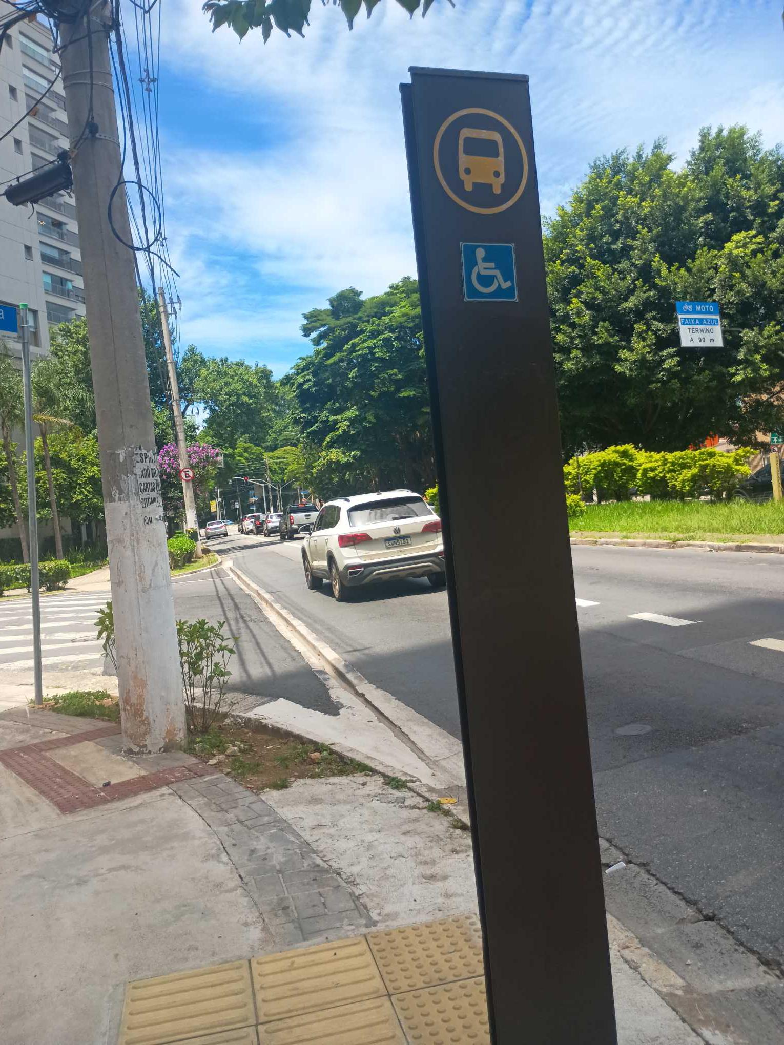 Taken by Anonymous
See R. Sapetuba, 166 stop, Butantã, on the map
Public transit to R. Sapetuba, 166 stop in Butantã
Looking for directions to R. Sapetuba, 166 in Butantã, Brazil?
Download the Moovit App to find the current schedule and step-by-step directions for Metro, Bus or Train routes that pass through R. Sapetuba, 166.
Looking for the nearest stops closest to R. Sapetuba, 166 ? Check out this list of closest stops to your destination: Faria Lima; Av Professor Francisco Morato 100 - B/C; Ac. Pte. Bernardo Goldfarb; Drausio B/C; Rua M.M.D.C; Parada Vital Brasil C/B; Metrô Butantã; Drausio C/B; Terminal Metrô Butantã; Avenida Vital Brasil; Pinheiros.
Bus: 177H-10, 459, 702C-10, 719R-10, 8700-10, 190, 775P-10, 809P-10, 857A-10, 857P-10, 7545-10, 7545-21, 7903-10, 8610-10.Train: LINHA 9.Metro: LINHA 4.
We make riding on public transit to R. Sapetuba, 166 easy, which is why over 1.7 billion users, including users in Butantã trust Moovit as the best app for public transit.
Use the app to navigate to popular places including to the airport, hospital, stadium, grocery store, mall, coffee shop, school, college, and university.
The first line to this stop is N842-11, at 3:15 AM, and the last line is N842-11 at 2:15 AM.
166 Rua Sapetuba, São Paulo, Brazil
This stop serves SPTrans’s lines
- Faria Lima
Metro station near R. Sapetuba, 166 station
- Av Professor Francisco Morato 100 - B/C,
- Ac. Pte. Bernardo Goldfarb, 11748,
- Drausio B/C,
- Rua M.M.D.C,
- Parada Vital Brasil C/B,
- Metrô Butantã,
- Drausio C/B,
- Terminal Metrô Butantã,
- Avenida Vital Brasil, 340
Bus stops near R. Sapetuba, 166 stop
- Pinheiros
Train station near R. Sapetuba, 166 station
- Avenida Cupecê,
- Av. Gaspar Vaz da Cunha, 314,
- Rua Coronel Xavier de Toledo, 220,
- Av. Interlagos, 3501,
- Parada Upa City Jaraguá,
- R. Alcântara, 113,
- Avenida Cândido Portinari,
- Shopping Ibirapuera C/B 1 • Metrô Eucaliptos,
- R. Bailique,
- Avenida Amador Bueno da Veiga 195,
- Santos-Imigrantes,
- R. Dr. Luiz Migliano, 2050,
- Av. Prof. Gioia Martins, 140,
- Primavera-Interlagos,
- Av. Agenor Couto de Magalhães, 319,
- R. Cel. Diogo, 1387,
- Tamanduateí,
- R. Dr. Artur Guimarães, 137,
- Rua Ibitirama 197,
- Avenida Rangel Pestana
Popular public transit stations in Butantã
Get around Butantã by public transit!
Traveling around Butantã has never been so easy. See step by step directions as you travel to any attraction, street or major public transit station. View bus and train schedules, arrival times, service alerts and detailed routes on a map, so you know exactly how to get to anywhere in Butantã.
When traveling to any destination around Butantã use Moovit's Live Directions with Get Off Notifications to know exactly where and how far to walk, how long to wait for your line, and how many stops are left. Moovit will alert you when it's time to get off — no need to constantly re-check whether yours is the next stop.
Wondering how to use public transit in Butantã or how to pay for public transit in Butantã? Moovit public transit app can help you navigate your way with public transit easily, and at minimum cost. It includes public transit fees, ticket prices, and costs. Looking for a map of Butantã public transit lines? Moovit public transit app shows all public transit maps in Butantã with all Bus, Train, Metro, Light Rail, Ferry, Gondola, Cable Car and Funicular routes and stops on an interactive map.
Sao Paulo Region has 8 transit type(s), including: Bus, Train, Metro, Light Rail, Ferry, Gondola, Cable Car and Funicular, operated by several transit agencies, including SPTrans, CPTM, ViaMobilidade, Aquático SP, SPTRANS, EMTU, ViaQuatro, Auto Ônibus Moratense, GRU Airport (Aeroporto de Guarulhos), Auto Viação Urubupungá (Cajamar), Viação Cometa, Auto Viação Urubupungá (Osasco), Viação Ultra / Rápido Brasil, Auto Viação Urubupungá (Santana de Parnaíba) and Expresso Luxo