R. Sebastião Barbosa, 37 stop - Monday schedule
| Line | Direction | Time |
|---|---|---|
| 3046-10 | Metrô Tatuapé | 5:05 AM |
| 3046-10 | Metrô Tatuapé | 5:15 AM |
| 3046-10 | Metrô Tatuapé | 5:26 AM |
| 3046-10 | Metrô Tatuapé | 5:38 AM |
| 3046-10 | Metrô Tatuapé | 5:44 AM |
| 3046-10 | Metrô Tatuapé | 5:51 AM |
| 3046-10 | Metrô Tatuapé | 5:58 AM |
| 3046-10 | Metrô Tatuapé | 6:05 AM |
| 3046-10 | Metrô Tatuapé | 6:12 AM |
| 3046-10 | Metrô Tatuapé | 6:19 AM |
| 3046-10 | Metrô Tatuapé | 6:26 AM |
| 3046-10 | Metrô Tatuapé | 6:33 AM |
| 3046-10 | Metrô Tatuapé | 6:38 AM |
| 3046-10 | Metrô Tatuapé | 6:41 AM |
| 3046-10 | Metrô Tatuapé | 6:45 AM |
| 3046-10 | Metrô Tatuapé | 6:49 AM |
| 3046-10 | Metrô Tatuapé | 6:53 AM |
| 3046-10 | Metrô Tatuapé | 6:57 AM |
| 3046-10 | Metrô Tatuapé | 7:01 AM |
| 3046-10 | Metrô Tatuapé | 7:07 AM |
| 3046-10 | Metrô Tatuapé | 7:12 AM |
| 3046-10 | Metrô Tatuapé | 7:17 AM |
| 3046-10 | Metrô Tatuapé | 7:22 AM |
| 3046-10 | Metrô Tatuapé | 7:27 AM |
| 3046-10 | Metrô Tatuapé | 7:32 AM |
Directions to R. Sebastião Barbosa, 37 stop (Água Rasa) with public transit
The following transit lines have routes that pass near R. Sebastião Barbosa, 37
 Bus: 3046-10, 3141-10, 4025-10, 407A-10, 351F-10.
- Metro: LINHA 3.
- Train: LINHA 11, LINHA 12.
How to get to R. Sebastião Barbosa, 37 stop by bus?
Click on the bus route to see step by step directions with maps, line arrival times and updated time schedules.
How to get to R. Sebastião Barbosa, 37 stop by train?
Click on the train route to see step by step directions with maps, line arrival times and updated time schedules.
How to get to R. Sebastião Barbosa, 37 stop by metro?
Click on the metro route to see step by step directions with maps, line arrival times and updated time schedules.
Bus stops near R. Sebastião Barbosa, 37 stop in Água Rasa
- R. Dante Pellacani, 52, 3 min walk,
- R. Paracambi, 41, 4 min walk,
- Rua Tuiuti, 2750, 4 min walk,
- R. Mal. Barbacena, 445, 6 min walk,
- Av. Salim Farah Maluf, 2100, 7 min walk,
- Avenida Vereador Abel Ferreira 162, 9 min walk,
- Av. Álvaro Ramos, 2129, 9 min walk,
- Av. Álvaro Ramos, 2260, 10 min walk,
- Av. Reg. Feijó, 315, 10 min walk,
Metro stations near R. Sebastião Barbosa, 37 station in Água Rasa
- Tatuapé, 37 min walk,
Train stations near R. Sebastião Barbosa, 37 station in Água Rasa
- Tatuapé, 37 min walk,
Bus lines to R. Sebastião Barbosa, 37 stop in Água Rasa
- 3046-10, Vl. Guarani,
- 4025-10, Metrô Tatuapé,
- 351F-10, Jaçanã - Terminal Vila Carrão,
- 372U-10, Vila Santa Isabel - Metrô Tatuapé,
- 414P-10, Vila Industrial - Terminal Norte Metrô Carrão,
- 3763-10, Terminal Vila Carrão - Metrô Tatuapé,
- 3053-10, Jd. Itápolis,
- N507-11, Term. Vl. Prudente,
- 407A-10, Parque Savoy - Largo Da Concórdia,
- 407F-10, Terminal São Mateus - Metrô Belém,
- 407R-10, Terminal Vila Carrão - Metrô Belém,
- 407A-21, Parque Savoy - Metrô Belém,
- N433-11, Terminal Vila Carrão - Metrô Belém,
- 574W-10, Jardim Walkiria - Metrô Belém,
- 3746-10, Jardim Imperador - Metrô Belém,
- 3746-31, Jardim Imperador - Metrô Belém,
- N503-11, Term. Pq. D. Pedro II,
- 574R-10, Metrô Belém,
- 3139-10, Pça. João Mendes,
- 3141-10, São Mateus,
What are the closest stations to R. Sebastião Barbosa, 37?
The closest stations to R. Sebastião Barbosa, 37 are:
- R. Dante Pellacani, 52 stop is 172 meters away, 3 min walk.
- R. Paracambi, 41 stop is 229 meters away, 4 min walk.
- Rua Tuiuti, 2750 stop is 273 meters away, 4 min walk.
- R. Mal. Barbacena, 445 stop is 423 meters away, 6 min walk.
- Av. Salim Farah Maluf, 2100 stop is 520 meters away, 7 min walk.
- Avenida Vereador Abel Ferreira 162 stop is 653 meters away, 9 min walk.
- Av. Álvaro Ramos, 2129 stop is 669 meters away, 9 min walk.
- Av. Álvaro Ramos, 2260 stop is 704 meters away, 10 min walk.
- Av. Reg. Feijó, 315 stop is 717 meters away, 10 min walk.
- Tatuapé station is 2835 meters away, 37 min walk.
Which bus lines stop near R. Sebastião Barbosa, 37?
These bus lines stop near R. Sebastião Barbosa, 37: 3046-10, 3141-10, 4025-10, 407A-10.
Which metro line stops near R. Sebastião Barbosa, 37?
LINHA 3 (Corinthians-Itaquera)
Which train lines stop near R. Sebastião Barbosa, 37?
These train lines stop near R. Sebastião Barbosa, 37: LINHA 11, LINHA 12.
What’s the nearest bus station to R. Sebastião Barbosa, 37 in Água Rasa?
The nearest bus station to R. Sebastião Barbosa, 37 in Água Rasa is R. Dante Pellacani, 52. It’s a 3 min walk away.
What time is the first metro to R. Sebastião Barbosa, 37 in Água Rasa?
The LINHA 3 is the first metro that goes to R. Sebastião Barbosa, 37 in Água Rasa. It stops nearby at 4:56 AM.
What time is the last metro to R. Sebastião Barbosa, 37 in Água Rasa?
The LINHA 3 is the last metro that goes to R. Sebastião Barbosa, 37 in Água Rasa. It stops nearby at 12:34 AM.
What time is the first train to R. Sebastião Barbosa, 37 in Água Rasa?
The LINHA 12 is the first train that goes to R. Sebastião Barbosa, 37 in Água Rasa. It stops nearby at 4:04 AM.
What time is the last train to R. Sebastião Barbosa, 37 in Água Rasa?
The LINHA 11 is the last train that goes to R. Sebastião Barbosa, 37 in Água Rasa. It stops nearby at 12:54 AM.
What time is the first bus to R. Sebastião Barbosa, 37 in Água Rasa?
The N401-11 is the first bus that goes to R. Sebastião Barbosa, 37 in Água Rasa. It stops nearby at 3:05 AM.
What time is the last bus to R. Sebastião Barbosa, 37 in Água Rasa?
The N503-11 is the last bus that goes to R. Sebastião Barbosa, 37 in Água Rasa. It stops nearby at 3:26 AM.
R. Sebastião Barbosa, 37 station
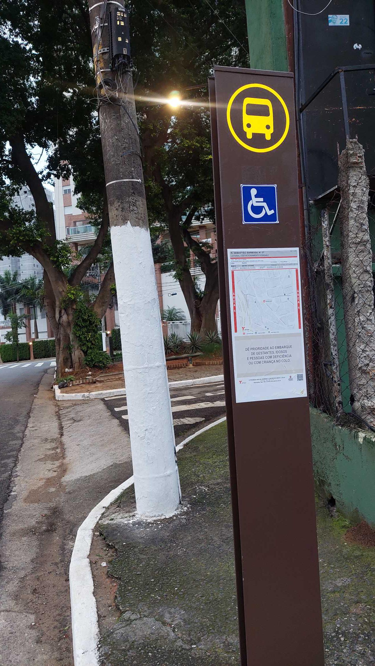 Taken by Anonymous
See R. Sebastião Barbosa, 37 stop, Água Rasa, on the map
Public transit to R. Sebastião Barbosa, 37 stop in Água Rasa
Looking for directions to R. Sebastião Barbosa, 37 in Água Rasa, Brazil?
Download the Moovit App to find the current schedule and step-by-step directions for Bus, Metro or Train routes that pass through R. Sebastião Barbosa, 37.
Looking for the nearest stops closest to R. Sebastião Barbosa, 37 ? Check out this list of closest stops to your destination: R. Dante Pellacani; R. Paracambi; Rua Tuiuti; R. Mal. Barbacena; Av. Salim Farah Maluf; Avenida Vereador Abel Ferreira 162; Av. Álvaro Ramos; Av. Álvaro Ramos; Av. Reg. Feijó; Tatuapé.
Bus: 3046-10, 3141-10, 4025-10, 407A-10, 351F-10, 372U-10, 414P-10, 3763-10, 3053-10.Metro: LINHA 3.Train: LINHA 11, LINHA 12.
We make riding on public transit to R. Sebastião Barbosa, 37 easy, which is why over 1.7 billion users, including users in Água Rasa trust Moovit as the best app for public transit.
Use the app to navigate to popular places including to the airport, hospital, stadium, grocery store, mall, coffee shop, school, college, and university.
The first line to this stop is 3046-10, at 5:05 AM, and the last line is 3046-10 at 12:14 AM.
435 Rua Demetrio Ribeiro, São Paulo, Brazil
This stop serves SPTrans’s lines
- R. Dante Pellacani, 52,
- R. Paracambi, 41,
- Rua Tuiuti, 2750,
- R. Mal. Barbacena, 445,
- Av. Salim Farah Maluf, 2100,
- Avenida Vereador Abel Ferreira 162,
- Av. Álvaro Ramos, 2129,
- Av. Álvaro Ramos, 2260,
- Av. Reg. Feijó, 315
Bus stops near R. Sebastião Barbosa, 37 stop
- Tatuapé
Metro station near R. Sebastião Barbosa, 37 station
- Tatuapé
Train station near R. Sebastião Barbosa, 37 station
- Jundiapeba,
- Avenida João Simão De Castro,
- Estrada Miguel João Ortiz 4750,
- Parada 1 - Vieira de Morais B/C,
- Av. Eng. Armando de Arruda Pereira, 457,
- Av. Diógenes Ribeiro de Lima, 2200,
- Avenida Quinze De Novembro 528,
- Av. Zaki Narchi, 357,
- R. Dr. Ulpiano da Costa Manso, 201,
- Av. Jacu-Pêssego/Nova Trabalhadores, 750,
- Parada Super Shopping de Osasco,
- Parada 3 - Metrô Tatuapé,
- Av. Hebe Camargo, 73,
- Av. dos Nacionalistas, 920,
- Rodovia Engenheiro Candido Do Rego Chaves (Sp-39) (Km 62-5 Sitio Pereira),
- Rod. Pres. Dutra Km 223 - Vila Galvão,
- Avenida das Flôres, 500,
- R. Voluntários da Pátria,
- Av. República do Líbano, 501,
- Rua Coronel Alfredo Flaquer- 257
Popular public transit stations in Água Rasa
Get around Água Rasa by public transit!
Traveling around Água Rasa has never been so easy. See step by step directions as you travel to any attraction, street or major public transit station. View bus and train schedules, arrival times, service alerts and detailed routes on a map, so you know exactly how to get to anywhere in Água Rasa.
When traveling to any destination around Água Rasa use Moovit's Live Directions with Get Off Notifications to know exactly where and how far to walk, how long to wait for your line, and how many stops are left. Moovit will alert you when it's time to get off — no need to constantly re-check whether yours is the next stop.
Wondering how to use public transit in Água Rasa or how to pay for public transit in Água Rasa? Moovit public transit app can help you navigate your way with public transit easily, and at minimum cost. It includes public transit fees, ticket prices, and costs. Looking for a map of Água Rasa public transit lines? Moovit public transit app shows all public transit maps in Água Rasa with all Bus, Train, Metro, Light Rail, Ferry, Gondola, Cable Car and Funicular routes and stops on an interactive map.
Sao Paulo Region has 8 transit type(s), including: Bus, Train, Metro, Light Rail, Ferry, Gondola, Cable Car and Funicular, operated by several transit agencies, including SPTrans, CPTM, ViaMobilidade, Aquático SP, SPTRANS, EMTU, ViaQuatro, Auto Ônibus Moratense, GRU Airport (Aeroporto de Guarulhos), Auto Viação Urubupungá (Cajamar), Viação Cometa, Auto Viação Urubupungá (Osasco), Viação Ultra / Rápido Brasil, Auto Viação Urubupungá (Santana de Parnaíba) and Expresso Luxo