R. Tabajaras, 1061 stop - Thursday schedule
| Line | Direction | Time |
|---|---|---|
| 761 VILA IZABEL | Vila Izabel → Praça Rui Barbosa | 5:42 AM |
| 761 VILA IZABEL | Vila Izabel → Praça Rui Barbosa | 6:10 AM |
| 670 SÃO JORGE | São Jorge → Praça Rui Barbosa | 6:11 AM |
| 761 VILA IZABEL | Vila Izabel → Praça Rui Barbosa | 6:38 AM |
| 670 SÃO JORGE | São Jorge → Praça Rui Barbosa | 6:41 AM |
| 670 SÃO JORGE | São Jorge → Praça Rui Barbosa | 7:11 AM |
| 761 VILA IZABEL | Vila Izabel → Praça Rui Barbosa | 7:11 AM |
| 670 SÃO JORGE | São Jorge → Praça Rui Barbosa | 7:46 AM |
| 761 VILA IZABEL | Vila Izabel → Praça Rui Barbosa | 7:46 AM |
| 670 SÃO JORGE | São Jorge → Praça Rui Barbosa | 8:21 AM |
| 761 VILA IZABEL | Vila Izabel → Praça Rui Barbosa | 8:23 AM |
| 670 SÃO JORGE | São Jorge → Praça Rui Barbosa | 8:56 AM |
| 761 VILA IZABEL | Vila Izabel → Praça Rui Barbosa | 9:01 AM |
| 761 VILA IZABEL | Vila Izabel → Praça Rui Barbosa | 9:36 AM |
| 670 SÃO JORGE | São Jorge → Praça Rui Barbosa | 10:00 AM |
| 761 VILA IZABEL | Vila Izabel → Praça Rui Barbosa | 10:11 AM |
| 761 VILA IZABEL | Vila Izabel → Praça Rui Barbosa | 10:46 AM |
| 670 SÃO JORGE | São Jorge → Praça Rui Barbosa | 11:04 AM |
| 761 VILA IZABEL | Vila Izabel → Praça Rui Barbosa | 11:21 AM |
| 761 VILA IZABEL | Vila Izabel → Praça Rui Barbosa | 11:56 AM |
| 670 SÃO JORGE | São Jorge → Praça Rui Barbosa | 12:08 PM |
| 761 VILA IZABEL | Vila Izabel → Praça Rui Barbosa | 12:31 PM |
| 761 VILA IZABEL | Vila Izabel → Praça Rui Barbosa | 1:06 PM |
| 670 SÃO JORGE | São Jorge → Praça Rui Barbosa | 1:12 PM |
| 761 VILA IZABEL | Vila Izabel → Praça Rui Barbosa | 1:41 PM |
Directions to R. Tabajaras, 1061 stop (Portão) with public transit
The following transit lines have routes that pass near R. Tabajaras, 1061
 Bus: 020 INTERBAIRROS II (HORÁRIO), 762 VILA ROSINHA, G72 AREIA BRANCA / GUADALUPE, 761 VILA IZABEL, 021 INTERBAIRROS II (ANTI-HORÁRIO).
How to get to R. Tabajaras, 1061 stop by bus?
Click on the bus route to see step by step directions with maps, line arrival times and updated time schedules.
Bus stops near R. Tabajaras, 1061 stop in Portão
- R. Pedro Collere, 963, 2 min walk,
- R. Tamoios, 1500, 4 min walk,
- R. Padre Leonardo Nunes, 143, 5 min walk,
- Av. Presidente Arthur da Silva Bernardes, 1343, 5 min walk,
Bus lines to R. Tabajaras, 1061 stop in Portão
- 762 VILA ROSINHA, Vila Rosinha → Praça Rui Barbosa,
- 021 INTERBAIRROS II (ANTI-HORÁRIO), Campina do Siqueira → Capão Raso,
- 670 SÃO JORGE, Praça Rui Barbosa → São Jorge,
- 761 VILA IZABEL, Praça Rui Barbosa → Vila Izabel,
- 020 INTERBAIRROS II (HORÁRIO), Capão Raso → Campina do Siqueira,
- 027 CAPÃO RASO / CAMPINA DO SIQUEIRA, Terminal Capão Raso → Terminal Campina Do Siqueira,
What are the closest stations to R. Tabajaras, 1061?
The closest stations to R. Tabajaras, 1061 are:
- R. Pedro Collere, 963 stop is 92 meters away, 2 min walk.
- R. Padre Leonardo Nunes, 143 stop is 306 meters away, 5 min walk.
- R. Tamoios, 1500 stop is 307 meters away, 4 min walk.
- Av. Presidente Arthur da Silva Bernardes, 1343 stop is 343 meters away, 5 min walk.
Which bus lines stop near R. Tabajaras, 1061?
These bus lines stop near R. Tabajaras, 1061: 020 INTERBAIRROS II (HORÁRIO), 762 VILA ROSINHA, G72 AREIA BRANCA / GUADALUPE.
What’s the nearest bus station to R. Tabajaras, 1061 in Portão?
The nearest bus station to R. Tabajaras, 1061 in Portão is R. Pedro Collere, 963. It’s a 2 min walk away.
What time is the first bus to R. Tabajaras, 1061 in Portão?
The 021 INTERBAIRROS II (ANTI-HORÁRIO) is the first bus that goes to R. Tabajaras, 1061 in Portão. It stops nearby at 5:17 AM.
What time is the last bus to R. Tabajaras, 1061 in Portão?
The 762 VILA ROSINHA is the last bus that goes to R. Tabajaras, 1061 in Portão. It stops nearby at 12:31 AM.
R. Tabajaras, 1061 station
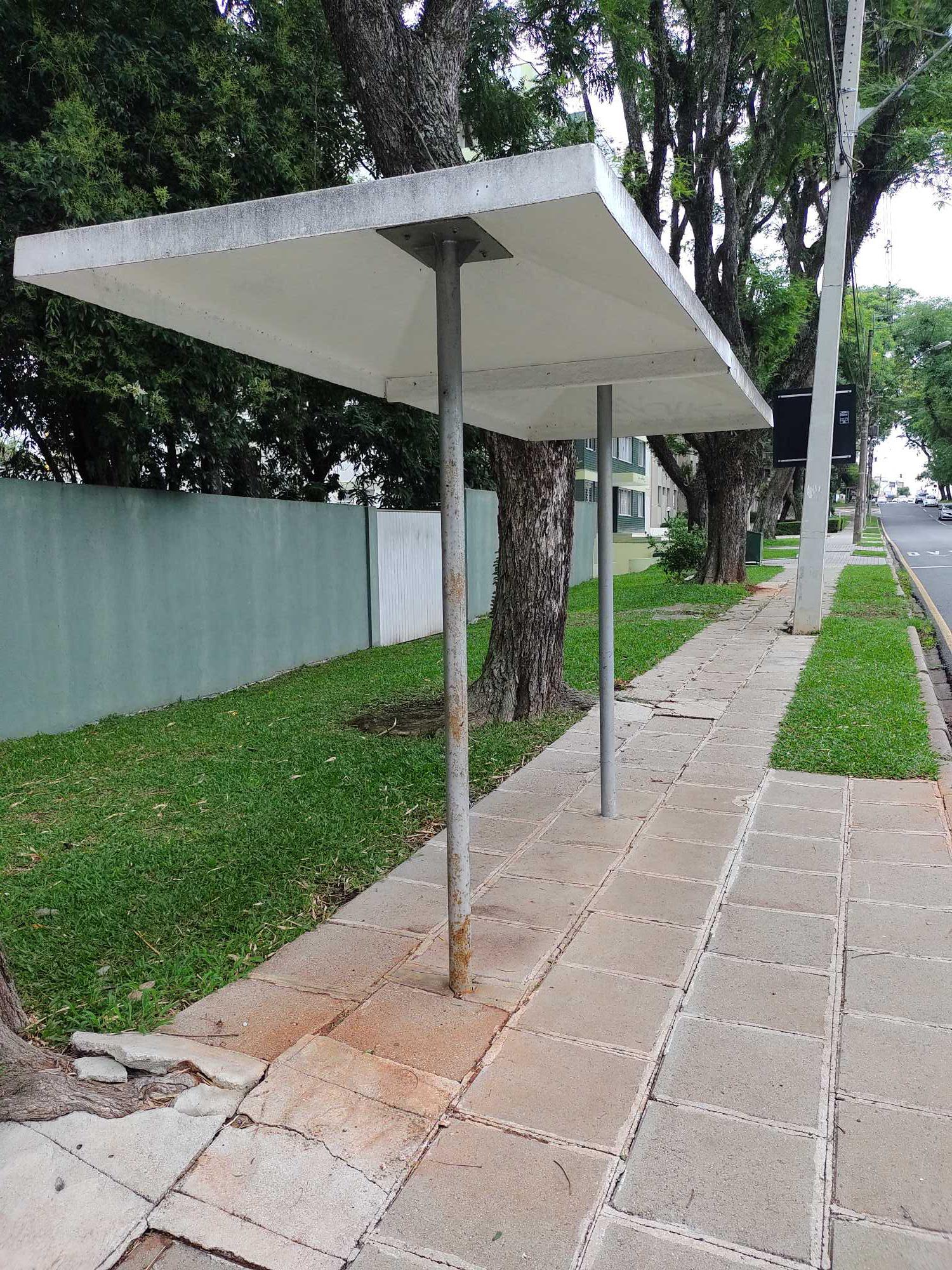 Taken by Anonymous
See R. Tabajaras, 1061 stop, Portão, on the map
Public transit to R. Tabajaras, 1061 stop (ID: 180632) in Portão
Looking for directions to R. Tabajaras, 1061 in Portão, Brazil?
Download the Moovit App to find the current schedule and step-by-step directions for Bus routes that pass through R. Tabajaras, 1061.
Looking for the nearest stops closest to R. Tabajaras, 1061 ? Check out this list of closest stops to your destination: R. Pedro Collere; R. Padre Leonardo Nunes; R. Tamoios; Av. Presidente Arthur da Silva Bernardes.
Bus: 020 INTERBAIRROS II (HORÁRIO), 762 VILA ROSINHA, G72 AREIA BRANCA / GUADALUPE, 761 VILA IZABEL, 021 INTERBAIRROS II (ANTI-HORÁRIO), 670 SÃO JORGE, 027 CAPÃO RASO / CAMPINA DO SIQUEIRA.
We make riding on public transit to R. Tabajaras, 1061 easy, which is why over 1.7 billion users, including users in Portão trust Moovit as the best app for public transit.
Use the app to navigate to popular places including to the airport, hospital, stadium, grocery store, mall, coffee shop, school, college, and university.
R. Tabajaras, 1061 stop’s code is 180632
The first line to this stop is 761 VILA IZABEL, at 5:42 AM, and the last line is 670 SÃO JORGE at 11:34 PM.
1210 Rua Tabajaras, Curitiba, Brazil
This stop serves URBS (Cartões bancários / Cartão URBS)’s lines
- R. Pedro Collere, 963,
- R. Tamoios, 1500,
- R. Padre Leonardo Nunes, 143,
- Av. Presidente Arthur da Silva Bernardes, 1343
Bus stops near R. Tabajaras, 1061 stop
- Estrada Velha Do Barigui, 130b,
- R. Nilo Peçanha, 2511,
- Av. Sete de Setembro, 1800 (Mercado Municipal de Curitiba),
- R. Visconde de Nácar, 866,
- Rua Des. José Carlos Ribeiro Ribas,
- Terminal Campo Comprido,
- R. Voluntários da Pátria, 212,
- Av. Desembargador Hugo Simas, 1700,
- R. Padre Manuel da Nóbrega, 1413,
- Terminal Portão,
- Terminal Bocaiuva Do Sul,
- Trav. Nestor de Castro,
- Av. Manoel Ribas, 2636 (Secretaria Municipal do Meio Ambiente),
- Posto Túlio / R. Silvio Pinto Ribeiro, 92,
- R. Gilberto Luiz Gaboardi, 1300,
- R. Wiegando Olsen, 2720 (Portal Vitória Régia),
- Av. Presidente Arthur da Silva Bernardes, 100 (Fonte de Jerusalém),
- Al. Princesa Izabel, 1200,
- Avenida Da Integração, 2639,
- R. La Salle, 320
Popular public transit stations in Portão
Get around Portão by public transit!
Traveling around Portão has never been so easy. See step by step directions as you travel to any attraction, street or major public transit station. View bus and train schedules, arrival times, service alerts and detailed routes on a map, so you know exactly how to get to anywhere in Portão.
When traveling to any destination around Portão use Moovit's Live Directions with Get Off Notifications to know exactly where and how far to walk, how long to wait for your line, and how many stops are left. Moovit will alert you when it's time to get off — no need to constantly re-check whether yours is the next stop.
Wondering how to use public transit in Portão or how to pay for public transit in Portão? Moovit public transit app can help you navigate your way with public transit easily, and at minimum cost. It includes public transit fees, ticket prices, and costs. Looking for a map of Portão public transit lines? Moovit public transit app shows all public transit maps in Portão with all Bus and Cable Car routes and stops on an interactive map.
Curitiba Region has 2 transit type(s), including: Bus and Cable Car, operated by several transit agencies, including Sistema Integrado de Mobilidade (URBS), Sistema Integrado de Mobilidade (AMEP), URBS (Cartões bancários e Dinheiro), URBS (Cartões bancários / Cartão URBS), AMEP (Cartões bancários / Cartão MetroCard), AMEP (Cartões bancários / Cartão MetroCard / Dinheiro), Viação Colombo (Dinheiro), TRIAR (Cartão TRIAR / Dinheiro), Empresa Curitiba Cerro Azul (Dinheiro), Expresso Penha (Dinheiro), Empresa Campo Alto Tijucas (Dinheiro), Auto Viação São José (Cartão VEM / Dinheiro), BRT S/A (Cartão VEM / Dinheiro), TransPiedade (Cartão Cidadão / Dinheiro) and Oceânica Sul (Cartão Transporte / Dinheiro)