R. Taubaté, 29 stop - Thursday schedule
| Line | Direction | Time |
|---|---|---|
| 3745-10 | Metrô Tatuapé | 4:55 AM |
| 3745-10 | Metrô Tatuapé | 5:11 AM |
| 3745-10 | Metrô Tatuapé | 5:27 AM |
| 3745-10 | Metrô Tatuapé | 5:40 AM |
| 3745-10 | Metrô Tatuapé | 5:52 AM |
| 3745-10 | Metrô Tatuapé | 6:04 AM |
| 3745-10 | Metrô Tatuapé | 6:16 AM |
| 3745-10 | Metrô Tatuapé | 6:28 AM |
| 3745-10 | Metrô Tatuapé | 6:40 AM |
| 3745-10 | Metrô Tatuapé | 6:48 AM |
| 3745-10 | Metrô Tatuapé | 6:56 AM |
| 3745-10 | Metrô Tatuapé | 7:05 AM |
| 3745-10 | Metrô Tatuapé | 7:16 AM |
| 3745-10 | Metrô Tatuapé | 7:26 AM |
| 3745-10 | Metrô Tatuapé | 7:37 AM |
| 3745-10 | Metrô Tatuapé | 7:47 AM |
| 3745-10 | Metrô Tatuapé | 7:56 AM |
| 3745-10 | Metrô Tatuapé | 8:05 AM |
| 3745-10 | Metrô Tatuapé | 8:14 AM |
| 3745-10 | Metrô Tatuapé | 8:23 AM |
| 3745-10 | Metrô Tatuapé | 8:32 AM |
| 3745-10 | Metrô Tatuapé | 8:45 AM |
| 3745-10 | Metrô Tatuapé | 9:00 AM |
| 3745-10 | Metrô Tatuapé | 9:15 AM |
| 3745-10 | Metrô Tatuapé | 9:30 AM |
Directions to R. Taubaté, 29 stop (Carrão) with public transit
The following transit lines have routes that pass near R. Taubaté, 29
 Bus: 2290-10, 342M-10, 3763-10, 4315-10, 3745-10.
- Metro: LINHA 3.
How to get to R. Taubaté, 29 stop by bus?
Click on the bus route to see step by step directions with maps, line arrival times and updated time schedules.
How to get to R. Taubaté, 29 stop by metro?
Click on the metro route to see step by step directions with maps, line arrival times and updated time schedules.
Bus stops near R. Taubaté, 29 stop in Carrão
- R. Taubaté, 168, 3 min walk,
- Av. Cons. Carrão, 3434, 3 min walk,
- Av. Aricanduva, 3164, 3 min walk,
- R. Francisca de Paula, 160, 4 min walk,
- Av. Dezenove de Janeiro, 322, 8 min walk,
Metro stations near R. Taubaté, 29 station in Carrão
- Guilhermina-Esperança, 32 min walk,
Bus lines to R. Taubaté, 29 stop in Carrão
- 3745-10, Metrô Tatuapé,
- 342M-10, Terminal São Mateus - Terminal Penha,
- N404-11, Terminal São Mateus - Terminal Penha,
- 407J-10, Jardim Soares - Metrô Tatuapé,
- 507T-10, Terminal Sapopemba - Metrô Carrão,
- 573T-10, Terminal Sapopemba - Metrô Carrão,
- 573T-31, Terminal Sapopemba - Metrô Carrão,
- 2290-10, Terminal São Mateus - Terminal Parque Dom Pedro Ii,
- 3778-10, Jardim Santa Terezinha - Metrô Carrão,
- 4315-10, Terminal Vila Carrão - Terminal Parque Dom Pedro Ii,
- 407E-10, Jardim Santo André - Metrô Carrão,
- 407G-10, Jardim Nova Vitória - Metrô Carrão,
- 407I-10, Conjunto Manoel Da Nóbrega - Metrô Bresser,
- 407K-10, Terminal São Mateus - Metrô Carrão,
- 407N-10, Terminal Cidade Tiradentes - Metrô Penha,
- N407-11, Terminal Vila Carrão - Metrô Belém,
- 407I-21, Conjunto Manoel Da Nóbrega - Metrô Tatuapé,
- 3761-10, 3a. Divisão - Metrô Carrão,
- 3773-10, Residencial Santa Bárbara - Metrô Carrão,
- 4210-10, Terminal Cidade Tiradentes - Terminal Parque Dom Pedro Ii,
What are the closest stations to R. Taubaté, 29?
The closest stations to R. Taubaté, 29 are:
- R. Taubaté, 168 stop is 156 meters away, 3 min walk.
- Av. Cons. Carrão, 3434 stop is 169 meters away, 3 min walk.
- Av. Aricanduva, 3164 stop is 186 meters away, 3 min walk.
- R. Francisca de Paula, 160 stop is 245 meters away, 4 min walk.
- Av. Dezenove de Janeiro, 322 stop is 627 meters away, 8 min walk.
- Guilhermina-Esperança station is 2476 meters away, 32 min walk.
Which bus lines stop near R. Taubaté, 29?
These bus lines stop near R. Taubaté, 29: 2290-10, 342M-10, 3763-10, 4315-10.
Which metro line stops near R. Taubaté, 29?
LINHA 3 (Corinthians-Itaquera)
What’s the nearest bus station to R. Taubaté, 29 in Carrão?
The nearest bus stations to R. Taubaté, 29 in Carrão are R. Taubaté, 168, Av. Cons. Carrão, 3434 and Av. Aricanduva, 3164. The closest one is a 3 min walk away.
What time is the first metro to R. Taubaté, 29 in Carrão?
The LINHA 3 is the first metro that goes to R. Taubaté, 29 in Carrão. It stops nearby at 4:48 AM.
What time is the last metro to R. Taubaté, 29 in Carrão?
The LINHA 3 is the last metro that goes to R. Taubaté, 29 in Carrão. It stops nearby at 12:42 AM.
What time is the first bus to R. Taubaté, 29 in Carrão?
The N407-11 is the first bus that goes to R. Taubaté, 29 in Carrão. It stops nearby at 3:00 AM.
What time is the last bus to R. Taubaté, 29 in Carrão?
The N404-11 is the last bus that goes to R. Taubaté, 29 in Carrão. It stops nearby at 3:16 AM.
R. Taubaté, 29 station
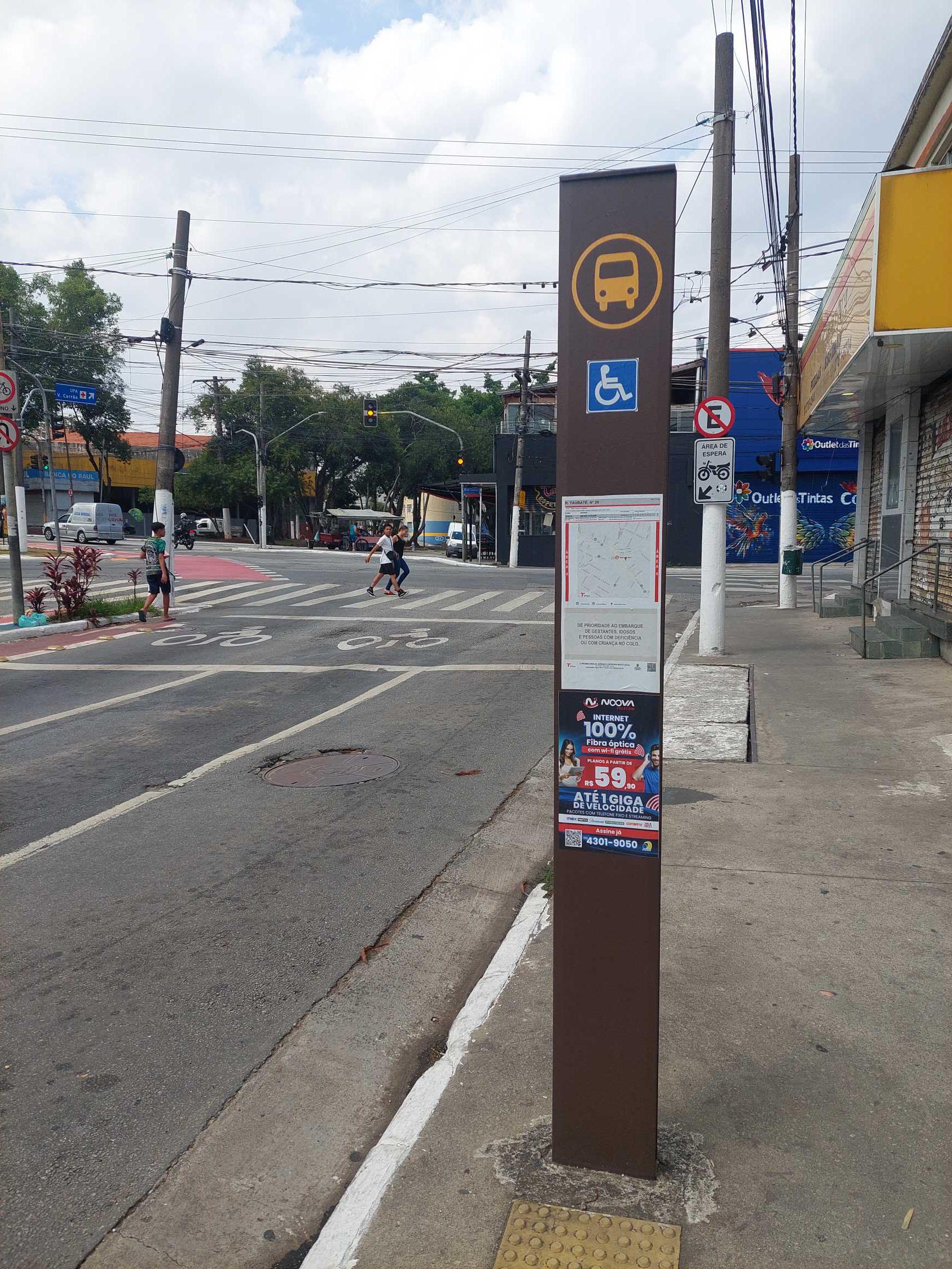 Taken by Anonymous
See R. Taubaté, 29 stop, Carrão, on the map
Public transit to R. Taubaté, 29 stop in Carrão
Looking for directions to R. Taubaté, 29 in Carrão, Brazil?
Download the Moovit App to find the current schedule and step-by-step directions for Bus or Metro routes that pass through R. Taubaté, 29.
Looking for the nearest stops closest to R. Taubaté, 29 ? Check out this list of closest stops to your destination: R. Taubaté; Av. Cons. Carrão; Av. Aricanduva; R. Francisca de Paula; Av. Dezenove de Janeiro; Guilhermina-Esperança.
Bus: 2290-10, 342M-10, 3763-10, 4315-10, 3745-10, N404-11, 407J-10, 507T-10, 573T-10, 407E-10, 407G-10, 407I-10, 407K-10, 407N-10, N433-11, N440-11.Metro: LINHA 3.
We make riding on public transit to R. Taubaté, 29 easy, which is why over 1.7 billion users, including users in Carrão trust Moovit as the best app for public transit.
Use the app to navigate to popular places including to the airport, hospital, stadium, grocery store, mall, coffee shop, school, college, and university.
The first line to this stop is 3745-10, at 4:55 AM, and the last line is 3745-10 at 12:45 AM.
Avenida Taubaté, São Paulo, Brazil
This stop serves SPTrans’s lines
- R. Taubaté, 168,
- Av. Cons. Carrão, 3434,
- Av. Aricanduva, 3164,
- R. Francisca de Paula, 160,
- Av. Dezenove de Janeiro, 322
Bus stops near R. Taubaté, 29 stop
- Guilhermina-Esperança
Metro station near R. Taubaté, 29 station
- Rua Joaquim Floriano, 308,
- Avenida Airton Pretini, 499,
- Avenida Presidente Tancredo Neves,
- Avenida Doutor Guilherme Dumont Vilares 1030,
- Av. Benedito Andrade, 126,
- Avenida Brigadeiro Luís Antônio , 4008,
- Parada 1 - Getúlio Vargas C/B,
- Guaianases,
- Fradique Coutinho,
- R. Iososuke Okaue, 911,
- Av. Auro Soares de Moura Andrade 564 (Portão 11),
- Av. Olavo Fontoura, 2222,
- Avenida Cruzeiro Do Sul 1877,
- Av. Flamingo, 1489,
- Parada Super Shopping de Osasco,
- Avenida Marginal do Ribeirão,
- Jundiapeba,
- Av. Tiradentes, 615,
- R. Loefgreen, 1438,
- R. Marina Ciufuli Zanfelice, 280
Popular public transit stations in Carrão
Get around Carrão by public transit!
Traveling around Carrão has never been so easy. See step by step directions as you travel to any attraction, street or major public transit station. View bus and train schedules, arrival times, service alerts and detailed routes on a map, so you know exactly how to get to anywhere in Carrão.
When traveling to any destination around Carrão use Moovit's Live Directions with Get Off Notifications to know exactly where and how far to walk, how long to wait for your line, and how many stops are left. Moovit will alert you when it's time to get off — no need to constantly re-check whether yours is the next stop.
Wondering how to use public transit in Carrão or how to pay for public transit in Carrão? Moovit public transit app can help you navigate your way with public transit easily, and at minimum cost. It includes public transit fees, ticket prices, and costs. Looking for a map of Carrão public transit lines? Moovit public transit app shows all public transit maps in Carrão with all Bus, Train, Metro, Light Rail, Ferry, Gondola, Cable Car and Funicular routes and stops on an interactive map.
Sao Paulo Region has 8 transit type(s), including: Bus, Train, Metro, Light Rail, Ferry, Gondola, Cable Car and Funicular, operated by several transit agencies, including SPTrans, CPTM, ViaMobilidade, Aquático SP, SPTRANS, EMTU, ViaQuatro, Auto Ônibus Moratense, GRU Airport (Aeroporto de Guarulhos), Auto Viação Urubupungá (Cajamar), Viação Cometa, Auto Viação Urubupungá (Osasco), Viação Ultra / Rápido Brasil, Auto Viação Urubupungá (Santana de Parnaíba) and Expresso Luxo