R. Zacarias Alves Pereira, 66 stop - Friday schedule
| Line | Direction | Time |
|---|---|---|
| 0263-500 SÃO JOSÉ DOS PINHAIS / LAGOINHA | São José dos Pinhais → Lagoinha | 9:00 AM |
| 410 CASTELHANO | Castelhano → Estação Rodoviária de São José dos Pinhais | 9:25 AM |
| 0263-500 SÃO JOSÉ DOS PINHAIS / LAGOINHA | São José dos Pinhais → Lagoinha | 12:00 PM |
| 410 CASTELHANO | Estação Rodoviária de São José dos Pinhais → Castelhano | 2:15 PM |
| 0263-500 SÃO JOSÉ DOS PINHAIS / LAGOINHA | São José dos Pinhais → Lagoinha | 4:00 PM |
| 0263-500 SÃO JOSÉ DOS PINHAIS / LAGOINHA | São José dos Pinhais → Lagoinha | 5:00 PM |
| 0263-500 SÃO JOSÉ DOS PINHAIS / LAGOINHA | São José dos Pinhais → Lagoinha | 6:30 PM |
Directions to R. Zacarias Alves Pereira, 66 stop (São José Dos Pinhais) with public transit
The following transit lines have routes that pass near R. Zacarias Alves Pereira, 66
 Bus: 206 BARREIRINHA / SÃO JOSÉ, 312 JARDIM CARMEM, E11 AFONSO PENA / BOQUEIRÃO, E99 SÃO JOSÉ / GUADALUPE (VIA T. CENTRAL), E21 CENTRO SÃO JOSÉ / BOQUEIRÃO.
How to get to R. Zacarias Alves Pereira, 66 stop by bus?
Click on the bus route to see step by step directions with maps, line arrival times and updated time schedules.
Bus stops near R. Zacarias Alves Pereira, 66 stop in São José Dos Pinhais
- Av. das Américas, 755, 1 min walk,
- R. Passos de Oliveira, 1200 (Prefeitura de São José dos Pinhais), 5 min walk,
- R. Lílian Viana De Araújo, 440, 6 min walk,
- R. Joaquim Nabuco, 2053, 6 min walk,
- R. Lílian Viana De Araújo, 441, 6 min walk,
- R. Zacarias Alves Pereira, 334, 6 min walk,
- Terminal Urbano e Metropolitano Central de São José dos Pinhais, 6 min walk,
Bus lines to R. Zacarias Alves Pereira, 66 stop in São José Dos Pinhais
- E11 AFONSO PENA / BOQUEIRÃO, Terminal Boqueirão → Terminal Afonso Pena,
- E21 CENTRO SÃO JOSÉ / BOQUEIRÃO, Terminal São José → Terminal Boqueirão,
- E32 ✈ AEROPORTO / BOQUEIRÃO (VIA T. CENTRAL), Terminal Boqueirão → Aeroporto Afonso Pena ✈,
- 0263-500 SÃO JOSÉ DOS PINHAIS / LAGOINHA, São José dos Pinhais → Lagoinha,
- 531 BAIRRO A BAIRRO - 1, Quississana → Terminal Central São José,
- Y96 FAZENDA / SÃO JOSÉ, FAZENDA / SÃO JOSÉ,
- E99 SÃO JOSÉ / GUADALUPE (VIA T. CENTRAL), SÃO JOSÉ / GUADALUPE (via T. CENTRAL),
- 200 PIT PRAÇA DA JUVENTUDE / CENTRO (VIA IZABEL REDENTORA), PIT PRAÇA DA JUVENTUDE / CENTRO (via IZABEL REDENTORA),
- 301 COLÔNIA RIO GRANDE, COLÔNIA RIO GRANDE,
- 302 ELDORADO, ELDORADO,
- 303 JARDIM ITÁLIA, JARDIM ITÁLIA,
- 304 ZANIOLO, ZANIOLO,
- 305 SÃO DOMINGOS / ARISTOCRATA, SÃO DOMINGOS / ARISTOCRATA,
- 311 SÃO MARCOS / AQUARIUS, SÃO MARCOS / AQUARIUS,
- 312 JARDIM CARMEM, JARDIM CARMEM,
- 398 JARDIM CARMEM - SÃO MARCOS (AQUARIUS), JARDIM CARMEM - SÃO MARCOS (AQUARIUS),
- 399 COLÔNIA RIO GRANDE / ELDORADO, COLÔNIA RIO GRANDE / ELDORADO,
- 401 CONTENDA, CONTENDA,
- 402 CAMPO LARGO, CAMPO LARGO,
- 403 CAMPINA, CAMPINA,
What are the closest stations to R. Zacarias Alves Pereira, 66?
The closest stations to R. Zacarias Alves Pereira, 66 are:
- Av. das Américas, 755 stop is 12 meters away, 1 min walk.
- R. Passos de Oliveira, 1200 (Prefeitura de São José dos Pinhais) stop is 347 meters away, 5 min walk.
- R. Lílian Viana De Araújo, 440 stop is 380 meters away, 6 min walk.
- R. Joaquim Nabuco, 2053 stop is 397 meters away, 6 min walk.
- R. Lílian Viana De Araújo, 441 stop is 398 meters away, 6 min walk.
- R. Zacarias Alves Pereira, 334 stop is 405 meters away, 6 min walk.
- Terminal Urbano e Metropolitano Central de São José dos Pinhais is 413 meters away, 6 min walk.
Which bus lines stop near R. Zacarias Alves Pereira, 66?
These bus lines stop near R. Zacarias Alves Pereira, 66: 206 BARREIRINHA / SÃO JOSÉ, 312 JARDIM CARMEM, E11 AFONSO PENA / BOQUEIRÃO, E99 SÃO JOSÉ / GUADALUPE (VIA T. CENTRAL).
What’s the nearest bus station to R. Zacarias Alves Pereira, 66 in São José Dos Pinhais?
The nearest bus station to R. Zacarias Alves Pereira, 66 in São José Dos Pinhais is Av. das Américas, 755. It’s a 1 min walk away.
What time is the first bus to R. Zacarias Alves Pereira, 66 in São José Dos Pinhais?
The 530 BAIRRO A BAIRRO - 2 is the first bus that goes to R. Zacarias Alves Pereira, 66 in São José Dos Pinhais. It stops nearby at 4:00 AM.
What time is the last bus to R. Zacarias Alves Pereira, 66 in São José Dos Pinhais?
The 530 BAIRRO A BAIRRO - 2 is the last bus that goes to R. Zacarias Alves Pereira, 66 in São José Dos Pinhais. It stops nearby at 1:15 AM.
R. Zacarias Alves Pereira, 66 station
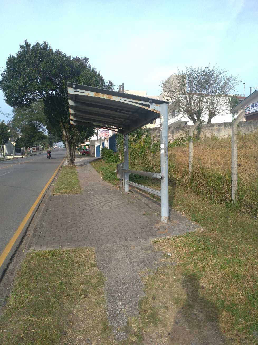 Taken by Anonymous
See R. Zacarias Alves Pereira, 66 stop, São José Dos Pinhais, on the map
Public transit to R. Zacarias Alves Pereira, 66 stop in São José Dos Pinhais
Looking for directions to R. Zacarias Alves Pereira, 66 in São José Dos Pinhais, Brazil?
Download the Moovit App to find the current schedule and step-by-step directions for Bus routes that pass through R. Zacarias Alves Pereira, 66.
Looking for the nearest stops closest to R. Zacarias Alves Pereira, 66 ? Check out this list of closest stops to your destination: Av. das Américas; R. Passos de Oliveira; R. Lílian Viana De Araújo; R. Joaquim Nabuco; R. Lílian Viana De Araújo; R. Zacarias Alves Pereira; Terminal Urbano e Metropolitano Central de São José dos Pinhais.
Bus: 206 BARREIRINHA / SÃO JOSÉ, 312 JARDIM CARMEM, E11 AFONSO PENA / BOQUEIRÃO, E99 SÃO JOSÉ / GUADALUPE (VIA T. CENTRAL), E21 CENTRO SÃO JOSÉ / BOQUEIRÃO, E32 ✈ AEROPORTO / BOQUEIRÃO (VIA T. CENTRAL), 0263-500 SÃO JOSÉ DOS PINHAIS / LAGOINHA, Y96 FAZENDA / SÃO JOSÉ, 200 PIT PRAÇA DA JUVENTUDE / CENTRO (VIA IZABEL REDENTORA), 301 COLÔNIA RIO GRANDE, 302 ELDORADO, 531 BAIRRO A BAIRRO - 1, 530 BAIRRO A BAIRRO - 2, 101 T. AFONSO PENA / T. CENTRAL.
We make riding on public transit to R. Zacarias Alves Pereira, 66 easy, which is why over 1.7 billion users, including users in São José Dos Pinhais trust Moovit as the best app for public transit.
Use the app to navigate to popular places including to the airport, hospital, stadium, grocery store, mall, coffee shop, school, college, and university.
The first line to this stop is 0263-500 SÃO JOSÉ DOS PINHAIS / LAGOINHA, at 9:00 AM, and the last line is 0263-500 SÃO JOSÉ DOS PINHAIS / LAGOINHA at 6:30 PM.
176 Rua Zacarias Alves Pereira, São José dos Pinhais, Brazil
This stop serves BRT S/A (Cartão VEM / Dinheiro) and Empresa Campo Alto Tijucas (Dinheiro)’s lines
- Av. das Américas, 755,
- R. Passos de Oliveira, 1200 (Prefeitura de São José dos Pinhais),
- R. Lílian Viana De Araújo, 440,
- R. Joaquim Nabuco, 2053,
- R. Lílian Viana De Araújo, 441,
- R. Zacarias Alves Pereira, 334,
- Terminal Urbano e Metropolitano Central de São José dos Pinhais
Bus stops near R. Zacarias Alves Pereira, 66 stop
- Rua Marechal Floriano Peixoto, 255,
- Av. Presidente Affonso Camargo, 1975,
- R. João Dembinski, 1301,
- R. José Milek Filho, 1300 (Exclusivo Madrugueiro),
- Círculo Militar (sentido Barreirinha),
- Rodovia Br 277 (Do Café) - Churrascaria Parada,
- Rua Wadislau Furman - Capela São Vicente De Paulo Camundá,
- DETRAN,
- Rodovia Br 116 (Régis Bittencourt) - Prf,
- Rua João Roque Schuertz, 878,
- Rua Martins Fontes, 202,
- R. Professor Fernando Moreira, 485,
- Terminal Metropolitano Almirante Tamandaré,
- Rua Marechal Juarez Távora, 141,
- R. Amintas de Barros, 500,
- R. Albino Kaminski, 1084,
- R. Amâncio Moro, 63 (Santuário Nossa Senhora do Perpétuo Socorro),
- Av. Iguaçu, 3939,
- Rua Cerro Azul, 1100,
- R. Domingos Scucato, 300
Popular public transit stations in São José Dos Pinhais
Get around São José Dos Pinhais by public transit!
Traveling around São José Dos Pinhais has never been so easy. See step by step directions as you travel to any attraction, street or major public transit station. View bus and train schedules, arrival times, service alerts and detailed routes on a map, so you know exactly how to get to anywhere in São José Dos Pinhais.
When traveling to any destination around São José Dos Pinhais use Moovit's Live Directions with Get Off Notifications to know exactly where and how far to walk, how long to wait for your line, and how many stops are left. Moovit will alert you when it's time to get off — no need to constantly re-check whether yours is the next stop.
Wondering how to use public transit in São José Dos Pinhais or how to pay for public transit in São José Dos Pinhais? Moovit public transit app can help you navigate your way with public transit easily, and at minimum cost. It includes public transit fees, ticket prices, and costs. Looking for a map of São José Dos Pinhais public transit lines? Moovit public transit app shows all public transit maps in São José Dos Pinhais with all Bus and Cable Car routes and stops on an interactive map.
Curitiba Region has 2 transit type(s), including: Bus and Cable Car, operated by several transit agencies, including Sistema Integrado de Mobilidade (URBS), Sistema Integrado de Mobilidade (AMEP), URBS (Cartões bancários e Dinheiro), URBS (Cartões bancários / Cartão URBS), AMEP (Cartões bancários / Cartão MetroCard), AMEP (Cartões bancários / Cartão MetroCard / Dinheiro), Viação Colombo (Dinheiro), TRIAR (Cartão TRIAR / Dinheiro), Empresa Curitiba Cerro Azul (Dinheiro), Expresso Penha (Dinheiro), Empresa Campo Alto Tijucas (Dinheiro), Auto Viação São José (Cartão VEM / Dinheiro), BRT S/A (Cartão VEM / Dinheiro), TransPiedade (Cartão Cidadão / Dinheiro) and Oceânica Sul (Cartão Transporte / Dinheiro)