R. do Imperador, 1949 stop - Wednesday schedule
| Line | Direction | Time |
|---|---|---|
| N507-11 | Metrô Santana | 3:02 AM |
| N507-11 | Metrô Santana | 3:32 AM |
| 119C-10 | Term. Princ. Isabel | 4:24 AM |
| N507-11 | Metrô Santana | 4:32 AM |
| 119C-10 | Term. Princ. Isabel | 4:49 AM |
| 119C-10 | Term. Princ. Isabel | 5:15 AM |
| 172Y-10 | Vl. Constança | 5:33 AM |
| 172K-10 | Jd. Tremembé | 5:39 AM |
| 119C-10 | Term. Princ. Isabel | 5:41 AM |
| 172Y-10 | Vl. Constança | 5:48 AM |
| 2161-10 | Pq. Edu Chaves | 6:00 AM |
| 119C-10 | Term. Princ. Isabel | 6:01 AM |
| 172K-10 | Jd. Tremembé | 6:09 AM |
| 172Y-10 | Vl. Constança | 6:14 AM |
| 119C-10 | Term. Princ. Isabel | 6:21 AM |
| 172Y-10 | Vl. Constança | 6:24 AM |
| 2161-10 | Pq. Edu Chaves | 6:25 AM |
| 172Y-10 | Vl. Constança | 6:34 AM |
| 172K-10 | Jd. Tremembé | 6:41 AM |
| 119C-10 | Term. Princ. Isabel | 6:41 AM |
| 172Y-10 | Vl. Constança | 6:44 AM |
| 172K-10 | Jd. Tremembé | 6:49 AM |
| 2161-10 | Pq. Edu Chaves | 6:50 AM |
| 172Y-10 | Vl. Constança | 6:56 AM |
| 172K-10 | Jd. Tremembé | 6:59 AM |
Directions to R. do Imperador, 1949 stop (Vila Maria) with public transit
The following transit lines have routes that pass near R. do Imperador, 1949
 Bus: 119C-10, 172K-10, 172Y-10, 2161-10, 271M-10.
- Metro: LINHA 1.
How to get to R. do Imperador, 1949 stop by bus?
Click on the bus route to see step by step directions with maps, line arrival times and updated time schedules.
How to get to R. do Imperador, 1949 stop by metro?
Click on the metro route to see step by step directions with maps, line arrival times and updated time schedules.
Bus stops near R. do Imperador, 1949 stop in Vila Maria
- R. do Imperador, 1870, 1 min walk,
- R. Simão Borges, 8, 3 min walk,
- R. do Imperador, 1450, 7 min walk,
- R. Cassio de Almeida, 780, 7 min walk,
- Av. Alberto Byington, 889, 12 min walk,
- Rua Chico Pontes - Vila Guilherme, São Paulo, 13 min walk,
Metro stations near R. do Imperador, 1949 station in Vila Maria
- Parada Inglesa, 15 min walk,
Bus lines to R. do Imperador, 1949 stop in Vila Maria
- 119C-10, Term. Princ. Isabel,
- 172K-10, Jd. Tremembé,
- 172Y-10, Vl. Constança,
- N507-11, Metrô Santana,
- 2161-10, Pq. Edu Chaves,
- 172N-10, Metrô Belém,
- 271M-10, Metrô Santana,
- N204-11, Metrô Tucuruvi,
- 2123-10, Vl. Medeiros,
- 2127-10, Liberdade,
- N233-11, Vl. Sabrina,
- 172P-10, Metrô Belém,
- 271A-10, Term. Penha,
- 351F-10, Term. Vl. Carrão,
- 701A-10, Metrô Vl. Madalena,
- 1156-10, Pça. do Correio,
- 2033-10, Shop. D,
- 566, Mairipora (Terminal Rodoviario Cidade Bonita Siguemi Aiacyda),
What are the closest stations to R. do Imperador, 1949?
The closest stations to R. do Imperador, 1949 are:
- R. do Imperador, 1870 stop is 55 meters away, 1 min walk.
- R. Simão Borges, 8 stop is 218 meters away, 3 min walk.
- R. do Imperador, 1450 stop is 487 meters away, 7 min walk.
- R. Cassio de Almeida, 780 stop is 491 meters away, 7 min walk.
- Av. Alberto Byington, 889 stop is 889 meters away, 12 min walk.
- Rua Chico Pontes - Vila Guilherme, São Paulo stop is 988 meters away, 13 min walk.
- Parada Inglesa station is 1114 meters away, 15 min walk.
Which bus lines stop near R. do Imperador, 1949?
These bus lines stop near R. do Imperador, 1949: 119C-10, 172K-10, 172Y-10, 2161-10, 271M-10.
Which metro line stops near R. do Imperador, 1949?
LINHA 1 (Tucuruvi)
What’s the nearest metro station to R. do Imperador, 1949 in Vila Maria?
The nearest metro station to R. do Imperador, 1949 in Vila Maria is Parada Inglesa. It’s a 15 min walk away.
What’s the nearest bus station to R. do Imperador, 1949 in Vila Maria?
The nearest bus station to R. do Imperador, 1949 in Vila Maria is R. do Imperador, 1870. It’s a 1 min walk away.
What time is the first metro to R. do Imperador, 1949 in Vila Maria?
The LINHA 1 is the first metro that goes to R. do Imperador, 1949 in Vila Maria. It stops nearby at 4:41 AM.
What time is the last metro to R. do Imperador, 1949 in Vila Maria?
The LINHA 1 is the last metro that goes to R. do Imperador, 1949 in Vila Maria. It stops nearby at 12:42 AM.
What time is the first bus to R. do Imperador, 1949 in Vila Maria?
The N507-11 is the first bus that goes to R. do Imperador, 1949 in Vila Maria. It stops nearby at 3:02 AM.
What time is the last bus to R. do Imperador, 1949 in Vila Maria?
The N204-11 is the last bus that goes to R. do Imperador, 1949 in Vila Maria. It stops nearby at 3:07 AM.
R. do Imperador, 1949 station
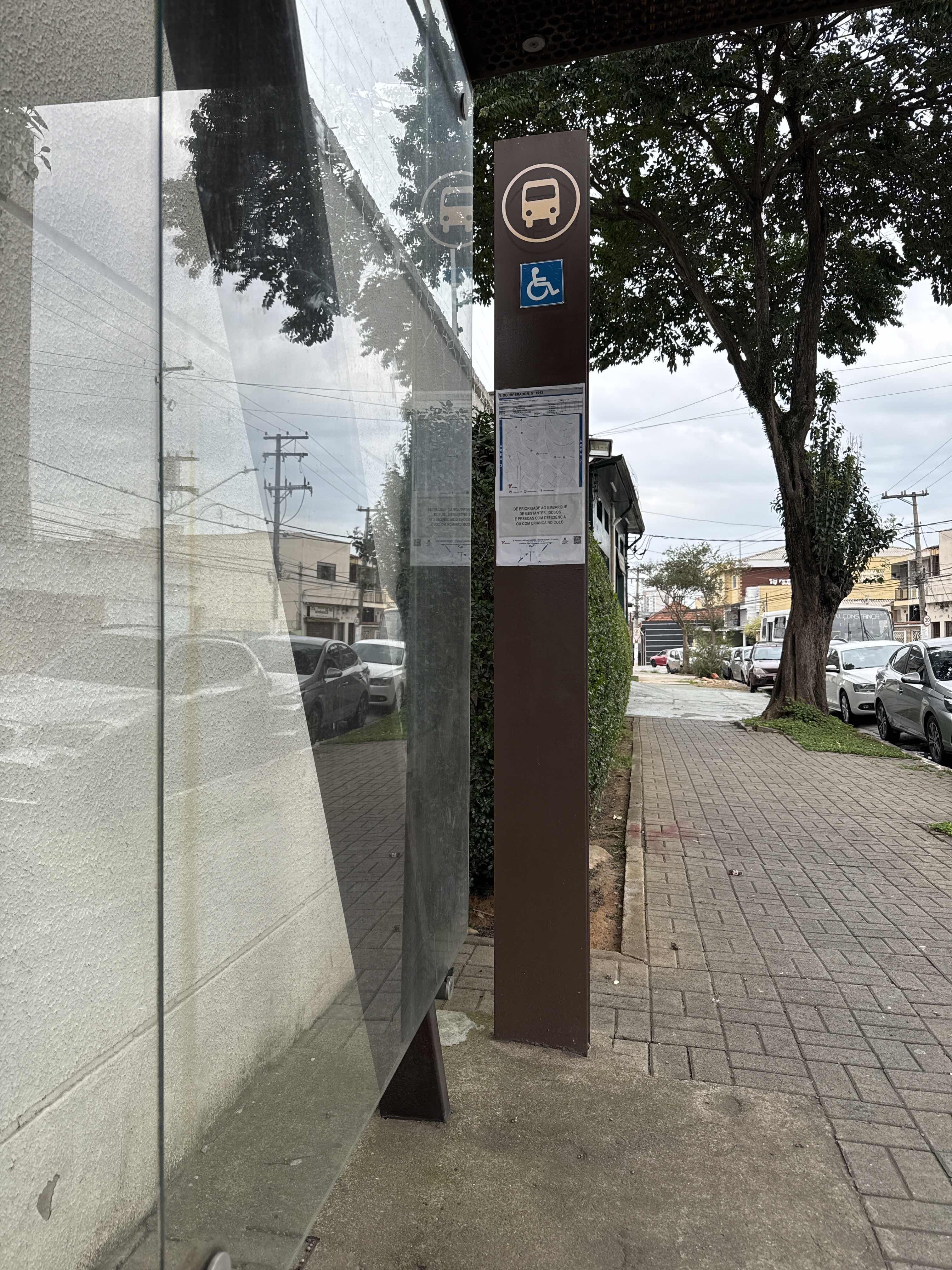 Taken by Anonymous
See R. do Imperador, 1949 stop, Vila Maria, on the map
Public transit to R. do Imperador, 1949 stop in Vila Maria
Looking for directions to R. do Imperador, 1949 in Vila Maria, Brazil?
Download the Moovit App to find the current schedule and step-by-step directions for Bus or Metro routes that pass through R. do Imperador, 1949.
Looking for the nearest stops closest to R. do Imperador, 1949 ? Check out this list of closest stops to your destination: R. do Imperador; R. Simão Borges; R. do Imperador; R. Cassio de Almeida; Av. Alberto Byington; Rua Chico Pontes - Vila Guilherme; Parada Inglesa.
Bus: 119C-10, 172K-10, 172Y-10, 2161-10, 271M-10, N507-11, 172N-10, N204-11, 2123-10, 2127-10, N233-11, 172P-10, 271A-10, 351F-10, 701A-10, 1156-10.Metro: LINHA 1.
We make riding on public transit to R. do Imperador, 1949 easy, which is why over 1.7 billion users, including users in Vila Maria trust Moovit as the best app for public transit.
Use the app to navigate to popular places including to the airport, hospital, stadium, grocery store, mall, coffee shop, school, college, and university.
The first line to this stop is N507-11, at 3:02 AM, and the last line is N507-11 at 2:32 AM.
1949 Rua do Imperador, São Paulo, Brazil
This stop serves SPTrans’s lines
- R. do Imperador, 1870,
- R. Simão Borges, 8,
- R. do Imperador, 1450,
- R. Cassio de Almeida, 780,
- Av. Alberto Byington, 889,
- Rua Chico Pontes - Vila Guilherme, São Paulo
Bus stops near R. do Imperador, 1949 stop
- Parada Inglesa
Metro station near R. do Imperador, 1949 station
- Av. Inajar de Souza, 1857,
- Av. Giovanni Gronchi, 5351,
- Br-116 Rod. Régis Bittencourt, Km 294 Norte,
- Pinheiros,
- Av. Luís Stamatis, 560,
- R. Gomes de Carvalho, 1507,
- Av. Milton da Rocha, 334,
- Jardim São Paulo-Ayrton Senna,
- Rod. Pres. Castello Branco, Km 22 - Tamboré Barueri,
- Parada 1 - Guatapará,
- João Cachoeira B/C,
- Avenida Charles Goodyear, 65,
- R. Mergenthaler, 900,
- Avenida Florêncio De Paiva 566,
- Granja Julieta,
- Rodovia Raposo Tavares (Km 16,4/São Paulo),
- Av. Jorge João Saad, 900,
- Pedro Corazza - Plataforma 5,
- Av. Prof. Alfonso Bovero, 477,
- Av. Cruzeiro do Sul, 2867
Popular public transit stations in Vila Maria
Get around Vila Maria by public transit!
Traveling around Vila Maria has never been so easy. See step by step directions as you travel to any attraction, street or major public transit station. View bus and train schedules, arrival times, service alerts and detailed routes on a map, so you know exactly how to get to anywhere in Vila Maria.
When traveling to any destination around Vila Maria use Moovit's Live Directions with Get Off Notifications to know exactly where and how far to walk, how long to wait for your line, and how many stops are left. Moovit will alert you when it's time to get off — no need to constantly re-check whether yours is the next stop.
Wondering how to use public transit in Vila Maria or how to pay for public transit in Vila Maria? Moovit public transit app can help you navigate your way with public transit easily, and at minimum cost. It includes public transit fees, ticket prices, and costs. Looking for a map of Vila Maria public transit lines? Moovit public transit app shows all public transit maps in Vila Maria with all Bus, Train, Metro, Light Rail, Ferry, Gondola, Cable Car and Funicular routes and stops on an interactive map.
Sao Paulo Region has 8 transit type(s), including: Bus, Train, Metro, Light Rail, Ferry, Gondola, Cable Car and Funicular, operated by several transit agencies, including SPTrans, CPTM, ViaMobilidade, Aquático SP, SPTRANS, EMTU, ViaQuatro, Auto Ônibus Moratense, GRU Airport (Aeroporto de Guarulhos), Auto Viação Urubupungá (Cajamar), Viação Cometa, Auto Viação Urubupungá (Osasco), Viação Ultra / Rápido Brasil, Auto Viação Urubupungá (Santana de Parnaíba) and Expresso Luxo