How to get to R y V by bus?
Click on the bus route to see step by step directions with maps, line arrival times and updated time schedules.
From Polígono Európolis, Las Rozas De Madrid
75 minFrom Hospital Público de Collado Villalba, Collado Villalba
76 minFrom Heron City Madrid, Área Metropolitana De Madrid Y Corredor Del Henares
81 minFrom Costco Wholesale, Las Rozas De Madrid
58 minFrom The Style Outlets Las Rozas, Las Rozas De Madrid
59 minFrom Gran Plaza 2 Majadahonda, Área Metropolitana De Madrid Y Corredor Del Henares
72 minFrom Universidad Camilo José Cela (UCJC), Villanueva De La Cañada
80 minFrom Universidad Alfonso X El Sabio (UAX), Villanueva De La Cañada
81 minFrom Autovía A-6 Km 20, Las Rozas De Madrid
74 minFrom Hospital HM Universitario Torrelodones, Torrelodones
36 min
Bus stop near R y V in Galapagar
- Ctra. M-505 - Urb. Vistanevada, 9 min walk,VIEW
Train station near R y V in Galapagar
- Las Zorreras - Navalquejigo, 38 min walk,VIEW
Bus lines to R y V in Galapagar
What are the closest stations to R y V?
The closest stations to R y V are:
- Ctra. M-505 - Urb. Vistanevada is 665 meters away, 9 min walk.
- Las Zorreras - Navalquejigo is 2979 meters away, 38 min walk.
Which bus lines stop near R y V?
These bus lines stop near R y V: 630, 634, 661, 661A, 667.
What’s the nearest bus station to R y V in Galapagar?
The nearest bus station to R y V in Galapagar is Ctra. M-505 - Urb. Vistanevada. It’s a 9 min walk away.
What time is the first train to R y V in Galapagar?
The C8A is the first train that goes to R y V in Galapagar. It stops nearby at 5:48 AM.
What time is the last train to R y V in Galapagar?
The C8A is the last train that goes to R y V in Galapagar. It stops nearby at 12:27 AM.
What time is the first bus to R y V in Galapagar?
The N604 is the first bus that goes to R y V in Galapagar. It stops nearby at 3:59 AM.
What time is the last bus to R y V in Galapagar?
The N604 is the last bus that goes to R y V in Galapagar. It stops nearby at 2:59 AM.
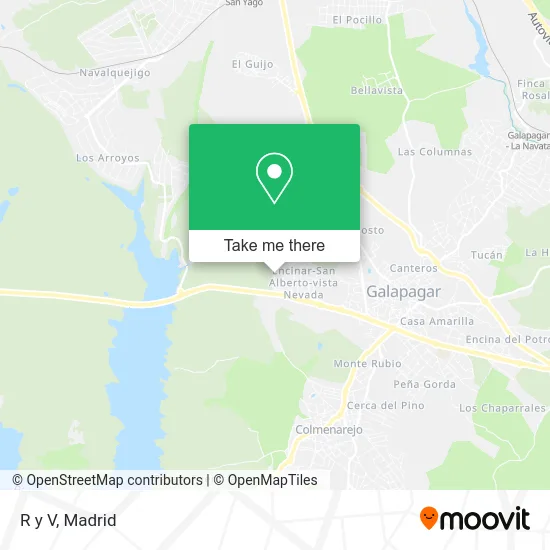
See R y V, Galapagar, on the map
Public Transit to R y V in Galapagar
Wondering how to get to R y V in Galapagar? Moovit helps you find the best way to get to R y V with step-by-step directions from the nearest public transit station.
Moovit provides free maps and live directions to help you navigate through your city. View schedules, routes, timetables, and find out how long does it take to get to R y V in real time.
Looking for the nearest stop or station to R y V? Check out this list of stops closest to your destination: Ctra. M-505 - Urb. Vistanevada; Las Zorreras - Navalquejigo.
Bus: 630, 634, 661, 661A, 667, N604.Train: C8A, C10, REG.
Want to see if there’s another route that gets you there at an earlier time? Moovit helps you find alternative routes or times. Get directions from and directions to R y V easily from the Moovit App or Website.
We make riding to R y V easy, which is why over 1.5 million users, including users in Galapagar, trust Moovit as the best app for public transit. You don’t need to download an individual bus app or train app, Moovit is your all-in-one transit app that helps you find the best bus time or train time available.
For information on prices of bus and train, costs and ride fares to R y V, please check the Moovit app.
Use the app to navigate to popular places including to the airport, hospital, stadium, grocery store, mall, coffee shop, school, college, and university.
R y V Address: Calle Ese, 28260 Galapagar street in Galapagar
- Geniot Soluti,
- Agustinas Misioneras-Provincia San Agust,
- Calle Doctor Fleming 20,
- San Alberto Magno,
- Calle Doctor Fleming, 3,
- Encinar-San Alberto-Vista Nevada,
- Salamandra,
- Calle de la Morera 4,
- Bar Restaurante Vistanevada,
- Direccion General de Seguros,
- Comercial Química Roal,
- El Limonero,
- Urbanización Vistanevada,
- Asociación Ipse,
- Finca los Brezos,
- Camino Finca Dehesa Arroyo Torero, 1,
- Centro Ocupacional Fundacion Apascovi Vivero,
- Amazon Locker-Josã,
- Instalaciones Silcruz,
- Supercor Stop&Go
Places Near R y V (Galapagar)
- Centro Comercial La Gavia, Área Metropolitana De Madrid Y Corredor Del Henares,
- Centro Comercial Oasiz Madrid, Área Metropolitana De Madrid Y Corredor Del Henares,
- Mendez Alvaro, Madrid,
- Rastro De Madrid, Área Metropolitana De Madrid Y Corredor Del Henares,
- Centro Comercial La Vaguada, Área Metropolitana De Madrid Y Corredor Del Henares,
- Nassica, Área Metropolitana De Madrid Y Corredor Del Henares,
- Sala La Riviera, Madrid,
- Estacion de Chamartin, Madrid,
- Hospital Universitario La Paz, Madrid,
- Centro Comercial Islazul, Área Metropolitana De Madrid Y Corredor Del Henares,
- Mercadillo de Majadahonda, Majadahonda,
- Calle de López de Hoyos 169, Madrid,
- Estadio Wanda Metropolitano, Área Metropolitana De Madrid Y Corredor Del Henares,
- Tres Aguas, Alcorcón,
- Palacio De Vistalegre, Área Metropolitana De Madrid Y Corredor Del Henares,
- Wizink Center, Madrid,
- Hospital Clínico Universitario San Carlos, Madrid,
- Plaza Mayor, Madrid,
- Hospital Universitario Ramón y Cajal, Madrid,
- Plenilunio, Área Metropolitana De Madrid Y Corredor Del Henares
How to get to popular places in Madrid with public transit
Get around Galapagar by public transit!
Traveling around Galapagar has never been so easy. See step by step directions as you travel to any attraction, street or major public transit station. View bus and train schedules, arrival times, service alerts and detailed routes on a map, so you know exactly how to get to anywhere in Galapagar.
When traveling to any destination around Galapagar use Moovit's Live Directions with Get Off Notifications to know exactly where and how far to walk, how long to wait for your line, and how many stops are left. Moovit will alert you when it's time to get off — no need to constantly re-check whether yours is the next stop.
Wondering how to use public transit in Galapagar or how to pay for public transit in Galapagar? Moovit public transit app can help you navigate your way with public transit easily, and at minimum cost. It includes public transit fees, ticket prices, and costs. Looking for a map of Galapagar public transit lines? Moovit public transit app shows all public transit maps in Galapagar with all Bus, Train, Metro and Light Rail routes and stops on an interactive map.
Madrid has 4 transit type(s), including: Bus, Train, Metro and Light Rail, operated by several transit agencies, including Metro de Madrid, Metro Ligero, Tranvía de Parla, Renfe Cercanías - Servicios de Autobús especiales, Renfe Cercanias, Renfe Cercanías, EMT, Interurbanos, Urbanos de Alcalá de Henares, Urbanos de Alcobendas, Urbanos de Alcorcón, Urbanos de Algete, Urbanos de Aranjuez, Urbanos de Arganda del Rey and Urbanos de Arroyomolinos