How to get to Racetrac by bus?
Click on the bus route to see step by step directions with maps, line arrival times and updated time schedules.
From Community Health Community Hospital North-ER, Indianapolis City (Balance)
69 minFrom Green House Ind Y, Indianapolis City (Balance)
45 minFrom College Avenue & 54th Street, Indianapolis City (Balance)
59 minFrom Win Townhomes, Indianapolis City (Balance)
64 minFrom Tienda Guatemalteca, Indianapolis City (Balance)
58 minFrom TSA Indianapolis Str 3, Indianapolis City (Balance)
55 minFrom Warren Central High School, Door 36, Indianapolis City (Balance)
66 minFrom Southern Baptist Convention, Indianapolis City (Balance)
64 minFrom ChargePoint, Lawrence
28 minFrom Reetu Bachhawat, Indianapolis City (Balance)
71 min
Bus stops near Racetrac in Lawrence
What are the closest stations to Racetrac?
The closest stations to Racetrac are:
- 42nd St & Arborcrest Dr is 1064 yards away, 13 min walk.
- 38th & Richardt Station Wb is 1290 yards away, 16 min walk.
Which bus lines stop near Racetrac?
These bus lines stop near Racetrac: 30, 92.
What’s the nearest bus station to Racetrac in Lawrence?
The nearest bus station to Racetrac in Lawrence is 42nd St & Arborcrest Dr. It’s a 13 min walk away.
What time is the first bus to Racetrac in Lawrence?
The 30 is the first bus that goes to Racetrac in Lawrence. It stops nearby at 4:20 AM.
What time is the last bus to Racetrac in Lawrence?
The 92 is the last bus that goes to Racetrac in Lawrence. It stops nearby at 12:55 AM.
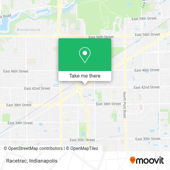
See Racetrac, Lawrence, on the map
Public Transit to Racetrac in Lawrence
Wondering how to get to Racetrac in Lawrence? Moovit helps you find the best way to get to Racetrac with step-by-step directions from the nearest public transit station.
Moovit provides free maps and live directions to help you navigate through your city. View schedules, routes, timetables, and find out how long does it take to get to Racetrac in real time.
Looking for the nearest stop or station to Racetrac? Check out this list of stops closest to your destination: 42nd St & Arborcrest Dr; 38th & Richardt Station Wb.
Bus: 30, 92.
Want to see if there’s another route that gets you there at an earlier time? Moovit helps you find alternative routes or times. Get directions from and directions to Racetrac easily from the Moovit App or Website.
We make riding to Racetrac easy, which is why over 1.5 million users, including users in Lawrence, trust Moovit as the best app for public transit. You don’t need to download an individual bus app or train app, Moovit is your all-in-one transit app that helps you find the best bus time or train time available.
For information on prices of bus, costs and ride fares to Racetrac, please check the Moovit app.
Use the app to navigate to popular places including to the airport, hospital, stadium, grocery store, mall, coffee shop, school, college, and university.
Racetrac Address: 7612 Pendleton PIke street in Lawrence
- Circle City Fireworks,
- Atm Racetrac,
- Bank Of America Financial Center & Drive-Thru Atm | Pendleton Pike,
- Bank Of America Financial Center,
- Bank Of America Atm,
- Popeyes,
- Wilson Lopez,
- Logos Motors,
- Drive Nation Auto Sales,
- Freije Engineered Solutions Company,
- Mill Supplies Inc.,
- Rezonans,
- Abaco Dock And Lift Company,
- Glenrock Indianapolis,
- Bath Planet Of Indianapoli,
- Autoline Indy,
- Pendleton Auto Sales,
- Minuteman Press,
- Indiana Contents Restoration,
- Department of Motor Vehicles
Places Near Racetrac (Lawrence)
- Indiana, Indianapolis City (Balance),
- Plainfield, IN, Plainfield,
- Indiana Convention Center, Indianapolis City (Balance),
- THE BALT, Indianapolis City (Balance),
- Lucas Oil Stadium, Indianapolis City (Balance),
- I U Health Methodist Hospital, Indianapolis City (Balance),
- 119 W 19th St Parking, Indianapolis City (Balance),
- Eskenazi Hospital, Indianapolis City (Balance),
- Lilly Corporate Center (Eli Lilly & Co), Indianapolis City (Balance),
- Castleton Square Mall, Indianapolis,
- Gainbridge Fieldhouse, Indianapolis City (Balance),
- St. Vincent Hospital - Indianapolis, Indianapolis City (Balance),
- Cotter's Massage Parlor With Happy Endings, Indianapolis City (Balance),
- Jersey Barn, Indianapolis City (Balance),
- Train Ride At Castleton Mall, Indianapolis City (Balance),
- I-465 / I-65 Interchange, Indianapolis City (Balance),
- Indianapolis Airport Zone 2, Indianapolis City (Balance),
- Indianapolis Motor Speedway, Speedway,
- St. Vincent entrance #1, Indianapolis City (Balance),
- Methodist Hospital of Indianapolis, Indianapolis City (Balance)
How to get to popular places in Indianapolis with public transit
Get around Lawrence by public transit!
Traveling around Lawrence has never been so easy. See step by step directions as you travel to any attraction, street or major public transit station. View bus and train schedules, arrival times, service alerts and detailed routes on a map, so you know exactly how to get to anywhere in Lawrence.
When traveling to any destination around Lawrence use Moovit's Live Directions with Get Off Notifications to know exactly where and how far to walk, how long to wait for your line, and how many stops are left. Moovit will alert you when it's time to get off — no need to constantly re-check whether yours is the next stop.
Wondering how to use public transit in Lawrence or how to pay for public transit in Lawrence? Moovit public transit app can help you navigate your way with public transit easily, and at minimum cost. It includes public transit fees, ticket prices, and costs. Looking for a map of Lawrence public transit lines? Moovit public transit app shows all public transit maps in Lawrence with all bus routes and stops on an interactive map.
Indianapolis has 1 transit type(s), including: bus, operated by several transit agencies, including IndyGo, FlixBus-us and Greyhound-us