Directions to Rack Bunker Data Center (Indianapolis City (Balance)) with public transportation
The following transit lines have routes that pass near Rack Bunker Data Center
 Bus: 37.
How to get to Rack Bunker Data Center by bus?
Click on the bus route to see step by step directions with maps, line arrival times and updated time schedules.
From Beautiful African Hair Braiding, Indianapolis City (Balance)
56 minFrom Indiana State Police West Information Booth, Indianapolis City (Balance)
62 minFrom Arely Romero, Indianapolis City (Balance)
40 minFrom Catholic Archdiocese of Indianapolis Churches, Indianapolis City (Balance)
38 minFrom Navy Federal Credit Union, Indianapolis City (Balance)
65 minFrom Lee Drywall, Indianapolis
62 minFrom Allison Transmission Plant 14, Indianapolis City (Balance)
66 minFrom 1041 N Goodlet Ave, Indianapolis City (Balance)
63 minFrom Westend Dental, Indianapolis City (Balance)
33 minFrom N Meridian St Suite, Indianapolis City (Balance)
154 min
Bus stop near Rack Bunker Data Center in Indianapolis City (Balance)
- Georgetown Rd & Covered Bridge Rd, 1 min walk,VIEW
Bus lines to Rack Bunker Data Center in Indianapolis City (Balance)
- 37, Transit Center,VIEW
What are the closest stations to Rack Bunker Data Center?
The closest stations to Rack Bunker Data Center are:
- Georgetown Rd & Covered Bridge Rd is 35 yards away, 1 min walk.
Which bus line stops near Rack Bunker Data Center?
37 (Intech Park)
What’s the nearest bus station to Rack Bunker Data Center in Indianapolis City (Balance)?
The nearest bus station to Rack Bunker Data Center in Indianapolis City (Balance) is Georgetown Rd & Covered Bridge Rd. It’s a 1 min walk away.
What time is the first bus to Rack Bunker Data Center in Indianapolis City (Balance)?
The 37 is the first bus that goes to Rack Bunker Data Center in Indianapolis City (Balance). It stops nearby at 4:56 AM.
What time is the last bus to Rack Bunker Data Center in Indianapolis City (Balance)?
The 37 is the last bus that goes to Rack Bunker Data Center in Indianapolis City (Balance). It stops nearby at 11:04 PM.
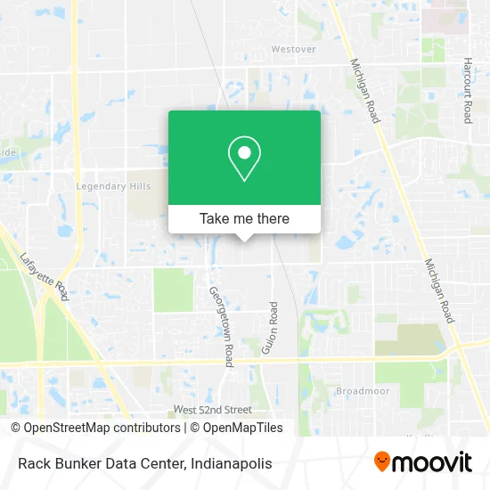
See Rack Bunker Data Center, Indianapolis City (Balance), on the map
Public Transit to Rack Bunker Data Center in Indianapolis City (Balance)
Wondering how to get to Rack Bunker Data Center in Indianapolis City (Balance)? Moovit helps you find the best way to get to Rack Bunker Data Center with step-by-step directions from the nearest public transit station.
Moovit provides free maps and live directions to help you navigate through your city. View schedules, routes, timetables, and find out how long does it take to get to Rack Bunker Data Center in real time.
Looking for the nearest stop or station to Rack Bunker Data Center? Check out this list of stops closest to your destination: Georgetown Rd & Covered Bridge Rd.
Bus: 37.
Want to see if there’s another route that gets you there at an earlier time? Moovit helps you find alternative routes or times. Get directions from and directions to Rack Bunker Data Center easily from the Moovit App or Website.
We make riding to Rack Bunker Data Center easy, which is why over 1.5 million users, including users in Indianapolis City (Balance), trust Moovit as the best app for public transit. You don’t need to download an individual bus app or train app, Moovit is your all-in-one transit app that helps you find the best bus time or train time available.
For information on prices of bus, costs and ride fares to Rack Bunker Data Center, please check the Moovit app.
Use the app to navigate to popular places including to the airport, hospital, stadium, grocery store, mall, coffee shop, school, college, and university.
Rack Bunker Data Center Address: 6325 Morenci Trl street in Indianapolis City (Balance)
- The SportZone,
- Oakbrook Village Apartments,
- Meredith Whittaker,
- Minds Edge,
- Samoon Janitorial Services,
- Rhylendesigns,
- Pike Fire,
- 62nd & Georgetown Rd,
- Kroger (Kroger-71st & Georgetown),
- Coinstar - Bitcoin ATM,
- Woods of Eagle Creek Apartments in Indianapolis,
- 71st St. & Georgetown Rd.,
- Kyoto Hibachi Express and Sushi,
- Tequila's Mexican Restaurant and Bar,
- Coinflip Bitcoin ATM,
- Venue56,
- Robin Run Healthcare Center,
- Calatlantic Homes,
- Lincoln College of Technology,
- Indy Lofts
Places Near Rack Bunker Data Center (Indianapolis City (Balance))
- Indianapolis Airport Zone 2, Indianapolis City (Balance),
- St. Vincent Hospital - Indianapolis, Indianapolis City (Balance),
- Jersey Barn, Indianapolis City (Balance),
- Lucas Oil Stadium, Indianapolis City (Balance),
- Castleton Square Mall, Indianapolis,
- I-465 / I-65 Interchange, Indianapolis City (Balance),
- 119 W 19th St Parking, Indianapolis City (Balance),
- Gainbridge Fieldhouse, Indianapolis City (Balance),
- Cotter's Massage Parlor With Happy Endings, Indianapolis City (Balance),
- Eskenazi Hospital, Indianapolis City (Balance),
- Train Ride At Castleton Mall, Indianapolis City (Balance),
- Plainfield, IN, Plainfield,
- Methodist Hospital of Indianapolis, Indianapolis City (Balance),
- THE BALT, Indianapolis City (Balance),
- Lilly Corporate Center (Eli Lilly & Co), Indianapolis City (Balance),
- Indiana Convention Center, Indianapolis City (Balance),
- Indianapolis Motor Speedway, Speedway,
- I U Health Methodist Hospital, Indianapolis City (Balance),
- St. Vincent entrance #1, Indianapolis City (Balance),
- Indiana, Indianapolis City (Balance)
How to get to popular places in Indianapolis with public transit
Get around Indianapolis City (Balance) by public transit!
Traveling around Indianapolis City (Balance) has never been so easy. See step by step directions as you travel to any attraction, street or major public transit station. View bus and train schedules, arrival times, service alerts and detailed routes on a map, so you know exactly how to get to anywhere in Indianapolis City (Balance).
When traveling to any destination around Indianapolis City (Balance) use Moovit's Live Directions with Get Off Notifications to know exactly where and how far to walk, how long to wait for your line, and how many stops are left. Moovit will alert you when it's time to get off — no need to constantly re-check whether yours is the next stop.
Wondering how to use public transit in Indianapolis City (Balance) or how to pay for public transit in Indianapolis City (Balance)? Moovit public transit app can help you navigate your way with public transit easily, and at minimum cost. It includes public transit fees, ticket prices, and costs. Looking for a map of Indianapolis City (Balance) public transit lines? Moovit public transit app shows all public transit maps in Indianapolis City (Balance) with all bus routes and stops on an interactive map.
Indianapolis has 1 transit type(s), including: bus, operated by several transit agencies, including IndyGo, FlixBus-us and Greyhound-us