Directions to Rafale (Henrico County) with public transportation
The following transit lines have routes that pass near Rafale
 Bus: 2A, 2B, 3A, 3B, FLIXBUS N2601.
How to get to Rafale by bus?
Click on the bus route to see step by step directions with maps, line arrival times and updated time schedules.
From Rose Gaming Resort, Prince William County
264 minFrom Potomac Mills Mall, Prince William County
239 minFrom Busch Gardens Williamsburg (Employee Parking Lot), James City County
158 minFrom Lorton, VA - Amtrak Auto Train Station (LOR), Fairfax County
254 minFrom Hampton University, Hampton
310 minFrom Lorton, VA, Fairfax County
248 minFrom Woodbridge, VA, Prince William County
181 minFrom UVA Hospital Medical Center, Charlottesville
328 minFrom Amazon Fulfillment Center-Ric3, Richmond
76 min
Bus stops near Rafale in Henrico County
Bus lines to Rafale in Henrico County
What are the closest stations to Rafale?
The closest stations to Rafale are:
- Patrick + Meadowbridge is 498 yards away, 7 min walk.
- E Laburnum Ave + Meadowbridge is 609 yards away, 8 min walk.
Which bus lines stop near Rafale?
These bus lines stop near Rafale: 2A, 2B, 3A, 3B, FLIXBUS N2601.
What’s the nearest bus station to Rafale in Henrico County?
The nearest bus station to Rafale in Henrico County is Patrick + Meadowbridge. It’s a 7 min walk away.
What time is the first bus to Rafale in Henrico County?
The 3A is the first bus that goes to Rafale in Henrico County. It stops nearby at 5:00 AM.
What time is the last bus to Rafale in Henrico County?
The 3C is the last bus that goes to Rafale in Henrico County. It stops nearby at 1:33 AM.
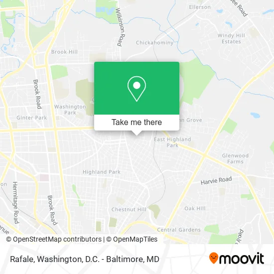
See Rafale, Henrico County, on the map
Public Transit to Rafale in Henrico County
Wondering how to get to Rafale in Henrico County? Moovit helps you find the best way to get to Rafale with step-by-step directions from the nearest public transit station.
Moovit provides free maps and live directions to help you navigate through your city. View schedules, routes, timetables, and find out how long does it take to get to Rafale in real time.
Looking for the nearest stop or station to Rafale? Check out this list of stops closest to your destination: Patrick + Meadowbridge; E Laburnum Ave + Meadowbridge.
Bus: 2A, 2B, 3A, 3B, FLIXBUS N2601, 3C, 91.
Want to see if there’s another route that gets you there at an earlier time? Moovit helps you find alternative routes or times. Get directions from and directions to Rafale easily from the Moovit App or Website.
We make riding to Rafale easy, which is why over 1.5 million users, including users in Henrico County, trust Moovit as the best app for public transit. You don’t need to download an individual bus app or train app, Moovit is your all-in-one transit app that helps you find the best bus time or train time available.
For information on prices of bus and train, costs and ride fares to Rafale, please check the Moovit app.
Use the app to navigate to popular places including to the airport, hospital, stadium, grocery store, mall, coffee shop, school, college, and university.
Rafale Address: Savannah Ave Richmond, VA 23222 street in Henrico County
- B Hope and Son Pressure Washing,
- Exclusive Cleaning Solutions,
- Pushing P Washing and Detailing,
- We Get It Done,
- Willcutz,
- Pal 4 PPL,
- Pedro Tree Service,
- Nora the Cleaning Lady,
- Fall Line Arborists,
- Igotu Mobile Auto & Audio,
- Glens Roadside Assistance,
- Beautifull Ladiee,
- Plumbing Officials,
- Blue Light Mechanical,
- Your Pantry Chef,
- Jo,
- Grand Buffet Studio,
- Hard Shell Services,
- Aplus Improvements,
- Taste of Love Mobile Catering
Places Near Rafale (Henrico County)
- Washington DC VA Medical Center, Washington,
- Marriott Marquis Washington, DC, Washington,
- Georgetown, Washington,
- Westfield Montgomery Mall, Montgomery County,
- Rock Creek Tennis Center, Washington,
- Pennsylvania Ave NW (3rd st and pennsylvania), Washington,
- National Museum of African American History and Culture, Washington,
- National Zoo, Washington,
- Amazon Hq2, Arlington County,
- PG Mall, Prince George's County,
- M&T Bank Stadium, Baltimore,
- Basilica of the National Shrine, Washington,
- Warner Theatre, Washington,
- Capital One Arena, Washington,
- The Anthem, Washington,
- National Mall, Washington,
- Camden Yards, Baltimore,
- Sibley Memorial Hospital, Washington,
- Washington National Cathedral, Washington,
- Museum Of The Bible, Washington
How to get to popular places in Washington, D.C. - Baltimore, MD with public transit
Get around Henrico County by public transit!
Traveling around Henrico County has never been so easy. See step by step directions as you travel to any attraction, street or major public transit station. View bus and train schedules, arrival times, service alerts and detailed routes on a map, so you know exactly how to get to anywhere in Henrico County.
When traveling to any destination around Henrico County use Moovit's Live Directions with Get Off Notifications to know exactly where and how far to walk, how long to wait for your line, and how many stops are left. Moovit will alert you when it's time to get off — no need to constantly re-check whether yours is the next stop.
Wondering how to use public transit in Henrico County or how to pay for public transit in Henrico County? Moovit public transit app can help you navigate your way with public transit easily, and at minimum cost. It includes public transit fees, ticket prices, and costs. Looking for a map of Henrico County public transit lines? Moovit public transit app shows all public transit maps in Henrico County with all Bus, Train, Metro, Light Rail and Ferry routes and stops on an interactive map.
Washington, D.C. - Baltimore, MD has 5 transit type(s), including: Bus, Train, Metro, Light Rail and Ferry, operated by several transit agencies, including WMATA, Montgomery County Ride On, Fairfax Connector, TheBus, PRTC, DASH - Alexandria, Arlington Transit (ART), RTA of Central Maryland, MDOT MTA, MDOT MTA Light RailLink, MDOT MTA Commuter Bus, MDOT MTA Local Bus, FXBGO!, Virginia Railway Express (VRE) and MARC