Directions to Ralph A Zampetti DDS (New York - New Jersey) with public transportation
The following transit lines have routes that pass near Ralph A Zampetti DDS
 Bus: 6.
How to get to Ralph A Zampetti DDS by bus?
Click on the bus route to see step by step directions with maps, line arrival times and updated time schedules.
Bus stop near Ralph A Zampetti DDS in New York - New Jersey
- Pioneer and Mt Airy I, 11 min walk,VIEW
Bus lines to Ralph A Zampetti DDS in New York - New Jersey
- 6, Dallas,VIEW
What are the closest stations to Ralph A Zampetti DDS?
The closest stations to Ralph A Zampetti DDS are:
- Pioneer and Mt Airy I is 848 yards away, 11 min walk.
Which bus line stops near Ralph A Zampetti DDS?
6 (Dallas)
What’s the nearest bus station to Ralph A Zampetti DDS in New York - New Jersey?
The nearest bus station to Ralph A Zampetti DDS in New York - New Jersey is Pioneer and Mt Airy I. It’s a 11 min walk away.
What time is the first bus to Ralph A Zampetti DDS in New York - New Jersey?
The 6 is the first bus that goes to Ralph A Zampetti DDS in New York - New Jersey. It stops nearby at 5:21 AM.
What time is the last bus to Ralph A Zampetti DDS in New York - New Jersey?
The 6 is the last bus that goes to Ralph A Zampetti DDS in New York - New Jersey. It stops nearby at 6:08 PM.
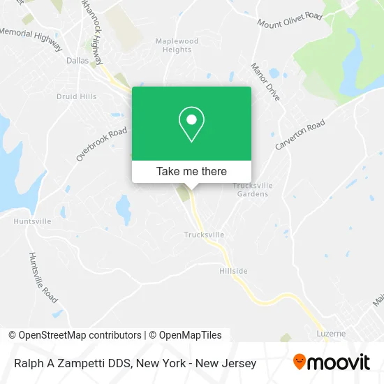
See Ralph A Zampetti DDS, New York - New Jersey, on the map
Public Transit to Ralph A Zampetti DDS in New York - New Jersey
Wondering how to get to Ralph A Zampetti DDS in New York - New Jersey? Moovit helps you find the best way to get to Ralph A Zampetti DDS with step-by-step directions from the nearest public transit station.
Moovit provides free maps and live directions to help you navigate through your city. View schedules, routes, timetables, and find out how long does it take to get to Ralph A Zampetti DDS in real time.
Looking for the nearest stop or station to Ralph A Zampetti DDS? Check out this list of stops closest to your destination: Pioneer and Mt Airy I.
Bus: 6.
Want to see if there’s another route that gets you there at an earlier time? Moovit helps you find alternative routes or times. Get directions from and directions to Ralph A Zampetti DDS easily from the Moovit App or Website.
We make riding to Ralph A Zampetti DDS easy, which is why over 1.5 million users, including users in New York - New Jersey, trust Moovit as the best app for public transit. You don’t need to download an individual bus app or train app, Moovit is your all-in-one transit app that helps you find the best bus time or train time available.
For information on prices of bus, costs and ride fares to Ralph A Zampetti DDS, please check the Moovit app.
Use the app to navigate to popular places including to the airport, hospital, stadium, grocery store, mall, coffee shop, school, college, and university.
Ralph A Zampetti DDS Address: 34 S Main St Shavertown, PA 18708 street in New York - New Jersey
- At&T Store,
- Independent Construction,
- Frontier Dx,
- Back Mountain Trail,
- Trucksville Dog & Cat Hospital,
- The Farmstand,
- Generator Guys,
- Dallas Area Municipal Authority,
- Community Bank, N.A.,
- Saint Thereses Catholic Church,
- St. Therese's Church,
- Bernard Walter Attorney at Law,
- Sml Property Services Llc,
- I'M Big Now Preschool - Primary,
- Postage Pros Plus,
- Rock Solid Academy,
- I'm Big Now Learning Center,
- Move Better,
- Shavertown Roofing Jobs Done Right,
- ATM
Places Near Ralph A Zampetti DDS (New York - New Jersey)
- Queens Center Mall, Queens,
- Hudson Yards, Manhattan,
- Mountainside Hospital, Glen Ridge,
- 3 Stone St, Manhattan,
- 376 Hudson Street, Manhattan,
- Bellevue Hospital, Manhattan,
- Times Square, Manhattan,
- Katz's Deli, Manhattan,
- 911 Memorial, Manhattan,
- 66 John Street, Manhattan,
- Wall Street, Manhattan,
- 1 Police Plaza, Manhattan,
- Chinatown, Manhattan,
- Rockefeller Center, Manhattan,
- San Gennaro Feast, Manhattan,
- SoHo, Manhattan,
- 26 Federal Plaza, Manhattan,
- Pier 83, Manhattan,
- qqqq, Manhattan,
- 111 Centre New York City Supreme Court, Manhattan
How to get to popular places in New York - New Jersey with public transit
Get around New York - New Jersey by public transit!
Traveling around New York - New Jersey has never been so easy. See step by step directions as you travel to any attraction, street or major public transit station. View bus and train schedules, arrival times, service alerts and detailed routes on a map, so you know exactly how to get to anywhere in New York - New Jersey.
When traveling to any destination around New York - New Jersey use Moovit's Live Directions with Get Off Notifications to know exactly where and how far to walk, how long to wait for your line, and how many stops are left. Moovit will alert you when it's time to get off — no need to constantly re-check whether yours is the next stop.
Wondering how to use public transit in New York - New Jersey or how to pay for public transit in New York - New Jersey? Moovit public transit app can help you navigate your way with public transit easily, and at minimum cost. It includes public transit fees, ticket prices, and costs. Looking for a map of New York - New Jersey public transit lines? Moovit public transit app shows all public transit maps in New York - New Jersey with all Bus, Train, Subway, Light Rail, Ferry and Cable Car routes and stops on an interactive map.
New York - New Jersey has 6 transit type(s), including: Bus, Train, Subway, Light Rail, Ferry and Cable Car, operated by several transit agencies, including MTA Subway, Metro-North Railroad, LIRR, PATH, MTA New York City Transit - Express routes, MTA Bus, NJ Transit, NYC Ferry, NICE bus, Bee-Line Bus, NJ Transit Rail, Norwalk Transit District, Hartford Line, River Valley Transit and HART