Ralph Av/Flatlands Av stop - Tuesday schedule
| Line | Direction | Time |
|---|---|---|
| B47 | Kings Plaza Via Ralph Av | 6:00 AM |
| B47 | Kings Plaza Via Ralph Av | 6:08 AM |
| B47 | Kings Plaza Via Ralph Av | 6:15 AM |
| B47 | Kings Plaza Via Ralph Av | 6:22 AM |
| B47 | Kings Plaza Via Ralph Av | 6:28 AM |
| B47 | Kings Plaza Via Ralph Av | 6:35 AM |
| B47 | Kings Plaza Via Ralph Av | 6:40 AM |
| B47 | Kings Plaza Via Ralph Av | 6:49 AM |
| B47 | Kings Plaza Via Ralph Av | 6:55 AM |
| B47 | Kings Plaza Via Ralph Av | 7:02 AM |
| B47 | Kings Plaza Via Ralph Av | 7:10 AM |
| B47 | Kings Plaza Via Ralph Av | 7:16 AM |
| B47 | Kings Plaza Via Ralph Av | 7:24 AM |
| B47 | Kings Plaza Via Ralph Av | 7:31 AM |
| B47 | Kings Plaza Via Ralph Av | 7:38 AM |
| B47 | Kings Plaza Via Ralph Av | 7:51 AM |
| B47 | Kings Plaza Via Ralph Av | 7:55 AM |
| B47 | Kings Plaza Via Ralph Av | 8:06 AM |
| B47 | Kings Plaza Via Ralph Av | 8:21 AM |
| B47 | Kings Plaza Via Ralph Av | 8:28 AM |
| B47 | Kings Plaza Via Ralph Av | 8:38 AM |
| B47 | Kings Plaza Via Ralph Av | 8:48 AM |
| B47 | Kings Plaza Via Ralph Av | 8:58 AM |
| B47 | Kings Plaza Via Ralph Av | 9:09 AM |
| B47 | Kings Plaza Via Ralph Av | 9:23 AM |
Directions to Ralph Av/Flatlands Av stop (Brooklyn) with public transit
The following transit lines have routes that pass near Ralph Av/Flatlands Av
 Bus: B103, B47, B6, B82-SBS, B82.
- Subway: 5, L, 2.
How to get to Ralph Av/Flatlands Av stop by bus?
Click on the bus route to see step by step directions with maps, line arrival times and updated time schedules.
How to get to Ralph Av/Flatlands Av stop by subway?
Click on the subway route to see step by step directions with maps, line arrival times and updated time schedules.
Bus stops near Ralph Av/Flatlands Av stop in Brooklyn
- Ralph Av/Bergen Av, 3 min walk,
- Flatlands Av/Ralph Av, 3 min walk,
- Glenwood Rd / Ralph Av, 5 min walk,
Subway stations near Ralph Av/Flatlands Av station in Brooklyn
- Canarsie-Rockaway Pkwy, 5 min walk,
- Flatbush Av-Brooklyn College, 33 min walk,
Bus lines to Ralph Av/Flatlands Av stop in Brooklyn
- B47, Bed-Stuy Woodhull Hospital Via Ralph Av,
- B6, East New York New Lots Sta,
- B82, Spring Crk Twrs Seaview Av Via Kings Hwy,
- B82-SBS, Select Bus Spring Crk Seaview Via Kings,
- BM2, Midtown 57 St Via Church St Via Madison Av,
- B103, Limited Bklyn College - Flatbush Av Sta Via Avenue M Via Avenue H,
What are the closest stations to Ralph Av/Flatlands Av?
The closest stations to Ralph Av/Flatlands Av are:
- Ralph Av/Bergen Av stop is 172 yards away, 3 min walk.
- Flatlands Av/Ralph Av stop is 177 yards away, 3 min walk.
- Canarsie-Rockaway Pkwy station is 385 yards away, 5 min walk.
- Glenwood Rd / Ralph Av stop is 390 yards away, 5 min walk.
- Flatbush Av-Brooklyn College station is 2862 yards away, 33 min walk.
Which bus lines stop near Ralph Av/Flatlands Av?
These bus lines stop near Ralph Av/Flatlands Av: B103, B47, B6, B82-SBS.
Which subway lines stop near Ralph Av/Flatlands Av?
These subway lines stop near Ralph Av/Flatlands Av: 5, L.
What’s the nearest subway station to Ralph Av/Flatlands Av in Brooklyn?
The nearest subway station to Ralph Av/Flatlands Av in Brooklyn is Canarsie-Rockaway Pkwy. It’s a 5 min walk away.
What’s the nearest bus station to Ralph Av/Flatlands Av in Brooklyn?
The nearest bus stations to Ralph Av/Flatlands Av in Brooklyn are Ralph Av/Bergen Av and Flatlands Av/Ralph Av. The closest one is a 3 min walk away.
What time is the first subway to Ralph Av/Flatlands Av in Brooklyn?
The L is the first subway that goes to Ralph Av/Flatlands Av in Brooklyn. It stops nearby at 3:03 AM.
What time is the last subway to Ralph Av/Flatlands Av in Brooklyn?
The 5 is the last subway that goes to Ralph Av/Flatlands Av in Brooklyn. It stops nearby at 4:36 AM.
What time is the first bus to Ralph Av/Flatlands Av in Brooklyn?
The B82 is the first bus that goes to Ralph Av/Flatlands Av in Brooklyn. It stops nearby at 3:00 AM.
What time is the last bus to Ralph Av/Flatlands Av in Brooklyn?
The B6 is the last bus that goes to Ralph Av/Flatlands Av in Brooklyn. It stops nearby at 3:02 AM.
Ralph Av/Flatlands Av station
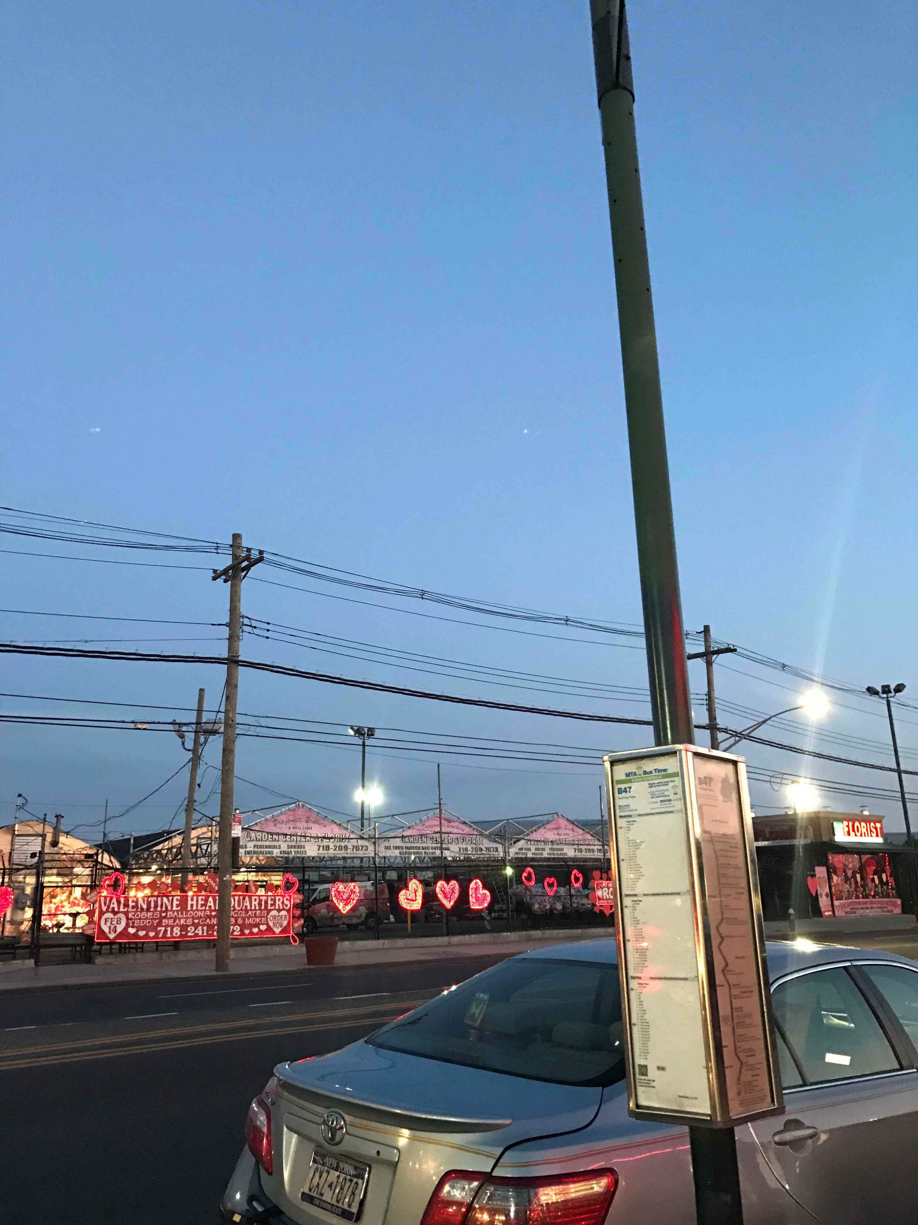 Taken by Anonymous
See Ralph Av/Flatlands Av stop, Brooklyn, on the map
Public transit to Ralph Av/Flatlands Av stop in Brooklyn
Looking for directions to Ralph Av/Flatlands Av in Brooklyn, United States?
Download the Moovit App to find the current schedule and step-by-step directions for Bus, Subway or Ferry routes that pass through Ralph Av/Flatlands Av.
Looking for the nearest stops closest to Ralph Av/Flatlands Av ? Check out this list of closest stops to your destination: Ralph Av/Bergen Av; Flatlands Av/Ralph Av; Canarsie-Rockaway Pkwy; Glenwood Rd / Ralph Av; Flatbush Av-Brooklyn College.
Bus: B103, B47, B6, B82-SBS, B82, BM2.Subway: 5, L, 2.
We make riding on public transit to Ralph Av/Flatlands Av easy, which is why over 1.7 billion users, including users in Brooklyn trust Moovit as the best app for public transit.
Use the app to navigate to popular places including to the airport, hospital, stadium, grocery store, mall, coffee shop, school, college, and university.
The first line to this stop is B47, at 6:00 AM, and the last line is B47 at 5:52 AM.
1866 Ralph Ave, Brooklyn, New York, NY, USA
This stop serves MTA Bus’s lines
- Ralph Av/Bergen Av,
- Flatlands Av/Ralph Av,
- Glenwood Rd / Ralph Av
Bus stops near Ralph Av/Flatlands Av stop
- Canarsie-Rockaway Pkwy,
- Flatbush Av-Brooklyn College
Subway stations near Ralph Av/Flatlands Av station
- Canal St/Canal St,
- Cropsey Av/26 Av,
- Old Country Rd @ Plainview Complex,
- Lga/Terminal B,
- Woodmere,
- Merrick Blvd / Springfield Blvd,
- Grand Av-Newtown,
- Denville,
- Nostrand Av/Lefferts Av,
- Massapequa Park,
- Avenue U,
- Fordham,
- E 180 St,
- Harriman,
- Stratford Train Station at 2505 Main St.,
- Woodside,
- Grand Concourse/E 206 St,
- Neptune Av,
- Patterson,
- Fordham Rd
Popular public transit stations in Brooklyn
Get around Brooklyn by public transit!
Traveling around Brooklyn has never been so easy. See step by step directions as you travel to any attraction, street or major public transit station. View bus and train schedules, arrival times, service alerts and detailed routes on a map, so you know exactly how to get to anywhere in Brooklyn.
When traveling to any destination around Brooklyn use Moovit's Live Directions with Get Off Notifications to know exactly where and how far to walk, how long to wait for your line, and how many stops are left. Moovit will alert you when it's time to get off — no need to constantly re-check whether yours is the next stop.
Wondering how to use public transit in Brooklyn or how to pay for public transit in Brooklyn? Moovit public transit app can help you navigate your way with public transit easily, and at minimum cost. It includes public transit fees, ticket prices, and costs. Looking for a map of Brooklyn public transit lines? Moovit public transit app shows all public transit maps in Brooklyn with all Bus, Train, Subway, Light Rail, Ferry and Cable Car routes and stops on an interactive map.
New York - New Jersey has 6 transit type(s), including: Bus, Train, Subway, Light Rail, Ferry and Cable Car, operated by several transit agencies, including MTA Subway, Metro-North Railroad, LIRR, PATH, MTA New York City Transit - Express routes, MTA Bus, NJ Transit, NYC Ferry, NICE bus, Bee-Line Bus, NJ Transit Rail, Norwalk Transit District, CTTransit - Waterbury-Meriden, Hartford Line and River Valley Transit