Directions to Ralph's Famous Italian Ices (Freeport) with public transportation
The following transit lines have routes that pass near Ralph's Famous Italian Ices
 Bus: N4, N40X.
- Train: BABYLON BRANCH.
How to get to Ralph's Famous Italian Ices by bus?
Click on the bus route to see step by step directions with maps, line arrival times and updated time schedules.
From Green Acres Mall, South Valley Stream
84 minFrom Green Acres Mall-North, Valley Stream
74 minFrom Mercy Hospital, Rockville Centre
85 minFrom Plattduetsche Park, Franklin Square
78 minFrom Uniondale, NY, Uniondale
52 minFrom Walmart, Valley Stream
78 minFrom East Meadow, NY, East Meadow
66 minFrom Valley Stream, NY, Valley Stream
68 minFrom Roosevelt Field Mall Bus Terminal, East Garden City
65 minFrom Garden City, NY, Garden City
53 min
How to get to Ralph's Famous Italian Ices by train?
Click on the train route to see step by step directions with maps, line arrival times and updated time schedules.
From Green Acres Mall, South Valley Stream
72 minFrom Green Acres Mall-North, Valley Stream
66 minFrom Plattduetsche Park, Franklin Square
101 minFrom Walmart, Valley Stream
64 minFrom Valley Stream, NY, Valley Stream
64 minFrom Roosevelt Field Mall Bus Terminal, East Garden City
106 minFrom Garden City, NY, Garden City
93 min
Train station near Ralph's Famous Italian Ices in Freeport
- Freeport, 34 min walk,VIEW
What are the closest stations to Ralph's Famous Italian Ices?
The closest stations to Ralph's Famous Italian Ices are:
- Freeport is 2850 yards away, 34 min walk.
Which bus lines stop near Ralph's Famous Italian Ices?
These bus lines stop near Ralph's Famous Italian Ices: N4, N40X.
Which train line stops near Ralph's Famous Italian Ices?
BABYLON BRANCH (Babylon)
What time is the first train to Ralph's Famous Italian Ices in Freeport?
The BABYLON BRANCH is the first train that goes to Ralph's Famous Italian Ices in Freeport. It stops nearby at 3:26 AM.
What time is the last train to Ralph's Famous Italian Ices in Freeport?
The BABYLON BRANCH is the last train that goes to Ralph's Famous Italian Ices in Freeport. It stops nearby at 3:29 AM.
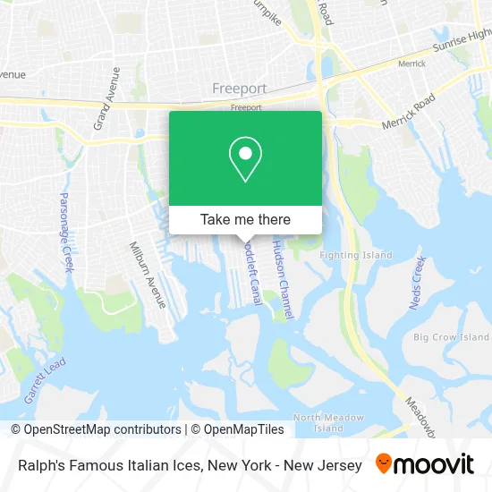
See Ralph's Famous Italian Ices, Freeport, on the map
Public Transit to Ralph's Famous Italian Ices in Freeport
Wondering how to get to Ralph's Famous Italian Ices in Freeport? Moovit helps you find the best way to get to Ralph's Famous Italian Ices with step-by-step directions from the nearest public transit station.
Moovit provides free maps and live directions to help you navigate through your city. View schedules, routes, timetables, and find out how long does it take to get to Ralph's Famous Italian Ices in real time.
Looking for the nearest stop or station to Ralph's Famous Italian Ices? Check out this list of stops closest to your destination: Freeport.
Bus: N4, N40X.Train: BABYLON BRANCH.
Want to see if there’s another route that gets you there at an earlier time? Moovit helps you find alternative routes or times. Get directions from and directions to Ralph's Famous Italian Ices easily from the Moovit App or Website.
We make riding to Ralph's Famous Italian Ices easy, which is why over 1.5 million users, including users in Freeport, trust Moovit as the best app for public transit. You don’t need to download an individual bus app or train app, Moovit is your all-in-one transit app that helps you find the best bus time or train time available.
For information on prices of bus and train, costs and ride fares to Ralph's Famous Italian Ices, please check the Moovit app.
Use the app to navigate to popular places including to the airport, hospital, stadium, grocery store, mall, coffee shop, school, college, and university.
Ralph's Famous Italian Ices Address: 147 Woodcleft Ave street in Freeport
- Bamboo Bar and Grill,
- Woodcleft Properties,
- Island Jet Skis,
- Secret Thai Kitchen,
- What's 4 Dessert ?,
- Off the Hook,
- Platinum Cuisines,
- The Factory,
- Mad Greek Express,
- Capt Lou's Atlantic Pearl,
- Sams Scoops,
- Jam Rock Jamaica,
- Sparkle on Stage Cultural Arts Center,
- Off the Hook Freeport NY,
- Tg Auto Spa Llc,
- Woodcleft Canal Site,
- Dye Lash,
- Abstract Home Solutions,
- Ace Deuce Casinos Long Island,
- Yacht Marine
Places Near Ralph's Famous Italian Ices (Freeport)
- Bellevue Hospital, Manhattan,
- 3 Stone St, Manhattan,
- qqqq, Manhattan,
- 66 John Street, Manhattan,
- 911 Memorial, Manhattan,
- 376 Hudson Street, Manhattan,
- Times Square, Manhattan,
- Katz's Deli, Manhattan,
- Wall Street, Manhattan,
- Queens Center Mall, Queens,
- 111 Centre New York City Supreme Court, Manhattan,
- 26 Federal Plaza, Manhattan,
- Chinatown, Manhattan,
- SoHo, Manhattan,
- 1 Police Plaza, Manhattan,
- Hudson Yards, Manhattan,
- Pier 83, Manhattan,
- Rockefeller Center, Manhattan,
- San Gennaro Feast, Manhattan,
- Mountainside Hospital, Glen Ridge
How to get to popular places in New York - New Jersey with public transit
Get around Freeport by public transit!
Traveling around Freeport has never been so easy. See step by step directions as you travel to any attraction, street or major public transit station. View bus and train schedules, arrival times, service alerts and detailed routes on a map, so you know exactly how to get to anywhere in Freeport.
When traveling to any destination around Freeport use Moovit's Live Directions with Get Off Notifications to know exactly where and how far to walk, how long to wait for your line, and how many stops are left. Moovit will alert you when it's time to get off — no need to constantly re-check whether yours is the next stop.
Wondering how to use public transit in Freeport or how to pay for public transit in Freeport? Moovit public transit app can help you navigate your way with public transit easily, and at minimum cost. It includes public transit fees, ticket prices, and costs. Looking for a map of Freeport public transit lines? Moovit public transit app shows all public transit maps in Freeport with all Bus, Train, Subway, Light Rail, Ferry and Cable Car routes and stops on an interactive map.
New York - New Jersey has 6 transit type(s), including: Bus, Train, Subway, Light Rail, Ferry and Cable Car, operated by several transit agencies, including MTA Subway, Metro-North Railroad, LIRR, PATH, MTA New York City Transit - Express routes, MTA Bus, NJ Transit, NYC Ferry, NICE bus, Bee-Line Bus, NJ Transit Rail, Norwalk Transit District, Hartford Line, River Valley Transit and HART