How to get to Ralph's Fried Chicken by bus?
Click on the bus route to see step by step directions with maps, line arrival times and updated time schedules.
From City of St. Albert - Culture & Tourism, St. Albert
82 minFrom 108 Street & 99 Avenue, Edmonton
53 minFrom Archbishop Macdonald, Edmonton
63 minFrom 130 Hyndman Crescent Northwest, Edmonton
86 minFrom Tammys Plastic Canvas Crafting, Edmonton
55 minFrom Boardall Development, Edmonton
56 minFrom George F. Hustler Memorial Park, Edmonton
64 minFrom Zula Kitchen and Wine Bar, Edmonton
66 minFrom Supplement King St. al, St. Albert
90 minFrom Clareview, Edmonton
55 min
Bus stops near Ralph's Fried Chicken in Edmonton
Bus lines to Ralph's Fried Chicken in Edmonton
What are the closest stations to Ralph's Fried Chicken?
The closest stations to Ralph's Fried Chicken are:
- 109 Street & Castle Downs Road is 84 meters away, 2 min walk.
- 109 Street & 163 Avenue is 405 meters away, 6 min walk.
- 112 Street & Castle Downs Road is 616 meters away, 9 min walk.
Which bus line stops near Ralph's Fried Chicken?
103 (Kingsway Rah Transit Centre→Eaux Claires Transit Centre)
What’s the nearest bus station to Ralph's Fried Chicken in Edmonton?
The nearest bus station to Ralph's Fried Chicken in Edmonton is 109 Street & Castle Downs Road. It’s a 2 min walk away.
What time is the first bus to Ralph's Fried Chicken in Edmonton?
The 103 is the first bus that goes to Ralph's Fried Chicken in Edmonton. It stops nearby at 6:05 AM.
What time is the last bus to Ralph's Fried Chicken in Edmonton?
The 103 is the last bus that goes to Ralph's Fried Chicken in Edmonton. It stops nearby at 12:49 AM.
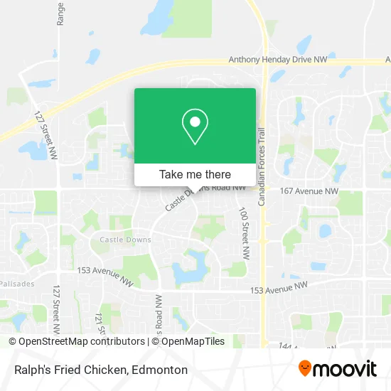
See Ralph's Fried Chicken, Edmonton, on the map
Public Transit to Ralph's Fried Chicken in Edmonton
Wondering how to get to Ralph's Fried Chicken in Edmonton? Moovit helps you find the best way to get to Ralph's Fried Chicken with step-by-step directions from the nearest public transit station.
Moovit provides free maps and live directions to help you navigate through your city. View schedules, routes, timetables, and find out how long does it take to get to Ralph's Fried Chicken in real time.
Looking for the nearest stop or station to Ralph's Fried Chicken? Check out this list of stops closest to your destination: 109 Street & Castle Downs Road; 109 Street & 163 Avenue; 112 Street & Castle Downs Road.
Bus: 103, 614, 616, 130X, 617, 624.
Want to see if there’s another route that gets you there at an earlier time? Moovit helps you find alternative routes or times. Get directions from and directions to Ralph's Fried Chicken easily from the Moovit App or Website.
We make riding to Ralph's Fried Chicken easy, which is why over 1.5 million users, including users in Edmonton, trust Moovit as the best app for public transit. You don’t need to download an individual bus app or train app, Moovit is your all-in-one transit app that helps you find the best bus time or train time available.
For information on prices of bus and light rail, costs and ride fares to Ralph's Fried Chicken, please check the Moovit app.
Use the app to navigate to popular places including to the airport, hospital, stadium, grocery store, mall, coffee shop, school, college, and university.
Ralph's Fried Chicken Address: 10807 Castle Downs Rd NW Edmonton, AB T5X street in Edmonton
- Cairo Vincent PC,
- Castledowns Dental,
- B-smart Daycare & Osc,
- Creative Minds Preschool,
- Mist Vape Hookah and S,
- Shawar Ehab,
- Renovation Kingz,
- Elsafadi Law,
- Mexico Lindo Restaurant,
- Painting Lon Star,
- Oneka Land Co LTD,
- Wong Johnson & Associates,
- Golden Touch Construction,
- Bottle Runners,
- Eastland Contracting,
- Baziuk William,
- Ras Oil Patch Consulting,
- Hortz Cleaning,
- Melg Tax Services,
- Aga Cleaning Service
Places Near Ralph's Fried Chicken (Edmonton)
- Cross Cancer Institute, Edmonton,
- Kaye Edmonton Clinic, Edmonton,
- Edmonton EXPO Centre, Edmonton,
- Borden Park, Edmonton,
- MacEwan University, Edmonton,
- Northgate Centre, Edmonton,
- Kingsway Mall, Edmonton,
- Londonderry Mall, Edmonton,
- Whyte Avenue, Edmonton,
- Alberta Legislature Building, Edmonton,
- Royal Alexandra Hospital, Edmonton,
- University of Alberta, Edmonton,
- Rogers Place, Edmonton,
- Canada Place Service Canada Centre, Edmonton,
- Edmonton VIA Rail Station, Edmonton,
- Grey Nuns Community Hospital, Edmonton,
- Fort Edmonton Park, Edmonton,
- Edmonton Commonwealth Stadium, Edmonton,
- Edmonton Valley Zoo, Edmonton,
- West Edmonton Mall, Edmonton
How to get to popular places in Edmonton with public transit
Get around Edmonton by public transit!
Traveling around Edmonton has never been so easy. See step by step directions as you travel to any attraction, street or major public transit station. View bus and train schedules, arrival times, service alerts and detailed routes on a map, so you know exactly how to get to anywhere in Edmonton.
When traveling to any destination around Edmonton use Moovit's Live Directions with Get Off Notifications to know exactly where and how far to walk, how long to wait for your line, and how many stops are left. Moovit will alert you when it's time to get off — no need to constantly re-check whether yours is the next stop.
Wondering how to use public transit in Edmonton or how to pay for public transit in Edmonton? Moovit public transit app can help you navigate your way with public transit easily, and at minimum cost. It includes public transit fees, ticket prices, and costs. Looking for a map of Edmonton public transit lines? Moovit public transit app shows all public transit maps in Edmonton with all Bus and Light Rail routes and stops on an interactive map.
Edmonton has 2 transit type(s), including: Bus and Light Rail, operated by several transit agencies, including ETS LRT, ETS, Strathcona County Transit, St. Albert Transit, Spruce Grove Transit, Fort Saskatchewan Transit, Beaumont Transit and Leduc Transit