Directions to Rambhadjan (Welgelegen) with public transportation
The following transit lines have routes that pass near Rambhadjan
 Bus: PK.
How to get to Rambhadjan by bus?
Click on the bus route to see step by step directions with maps, line arrival times and updated time schedules.
From Kabinet Van De First Lady, Rainville
53 minFrom Platte Brug, Rainville
46 minFrom Suribet, Meerzorg
66 minFrom O.S. I Geyersvlijt, Blauwgrond
74 minFrom Wang He Supermarket, Meerzorg
68 minFrom Riverside Shadien/Dok 204, Blauwgrond
69 minFrom Highway Markt, Houttuin
69 minFrom O.S. Wintiwai, Livorno
66 minFrom Creche Nene, Blauwgrond
74 minFrom Self Reliance, Meerzorg
68 min
Bus stop near Rambhadjan in Welgelegen
- Kwattaweg, 372, 8 min walk,VIEW
Bus lines to Rambhadjan in Welgelegen
- PK, Kwatta,VIEW
What are the closest stations to Rambhadjan?
The closest stations to Rambhadjan are:
- Kwattaweg, 372 is 617 meters away, 8 min walk.
Which bus line stops near Rambhadjan?
PK
What’s the nearest bus station to Rambhadjan in Welgelegen?
The nearest bus station to Rambhadjan in Welgelegen is Kwattaweg, 372. It’s a 8 min walk away.
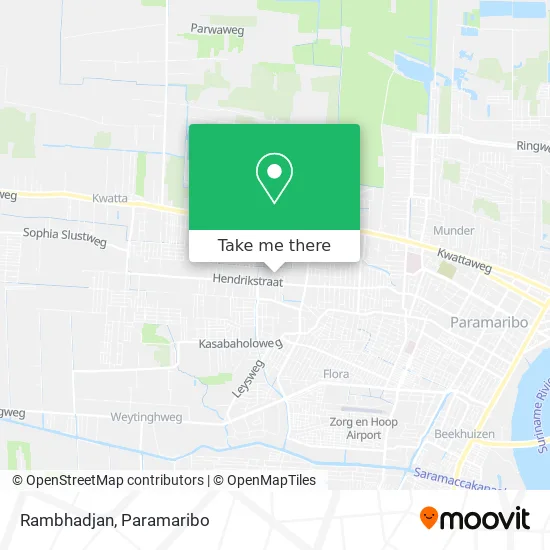
See Rambhadjan, Welgelegen, on the map
Public Transit to Rambhadjan in Welgelegen
Wondering how to get to Rambhadjan in Welgelegen? Moovit helps you find the best way to get to Rambhadjan with step-by-step directions from the nearest public transit station.
Moovit provides free maps and live directions to help you navigate through your city. View schedules, routes, timetables, and find out how long does it take to get to Rambhadjan in real time.
Looking for the nearest stop or station to Rambhadjan? Check out this list of stops closest to your destination: Kwattaweg.
Bus: PK.
Want to see if there’s another route that gets you there at an earlier time? Moovit helps you find alternative routes or times. Get directions from and directions to Rambhadjan easily from the Moovit App or Website.
We make riding to Rambhadjan easy, which is why over 1.5 million users, including users in Welgelegen, trust Moovit as the best app for public transit. You don’t need to download an individual bus app or train app, Moovit is your all-in-one transit app that helps you find the best bus time or train time available.
For information on prices of bus, costs and ride fares to Rambhadjan, please check the Moovit app.
Use the app to navigate to popular places including to the airport, hospital, stadium, grocery store, mall, coffee shop, school, college, and university.
Rambhadjan Address: Sarilaan street in Welgelegen
- frans guyana- cayen,
- Suriname Trading,
- Lacomo Appartement,
- Safco Bollywood,
- N.V. Dam,
- Kasimex Makro,
- Simextra International,
- Tas,
- Hong Yuan Bouwmaterialen,
- Lallarookh Supermarket,
- Stichting Kangoeroe Community School,
- M. Ramlagan & Zonen,
- Onder Station D (Ebs),
- Evert,
- Morgenster,
- N.V. Proms Vastgoed,
- Bhaggoe's Car Palace,
- Nanhoe Schroothandel,
- Farmsur,
- Ugly Duckling Boutique
Places Near Rambhadjan (Welgelegen)
- Nationaal Vervoer Bedrijf N.V., Meerzorg,
- PO/PBO Busstation, Centrum,
- Veerplein, Meerzorg,
- Diakonessenhuis, Centrum,
- Ondro Bong, Paramaribo, Centrum,
- Bus Station Tamkas, Centrum,
- O. S. Welgedacht C, De Nieuwe Grond,
- Plantage Frederiksdorp, Margaretha,
- Peperpot Nature Park, Meerzorg,
- Drs. H. R. Gooswit, Lelydorp,
- Academisch Ziekenhuis Paramaribo, Centrum,
- Scholengemeenschap Sanatan Dharma Sgs, Livorno,
- Bus Station Plk, Centrum,
- Warung Monica N.V. & Essy Crew, Rainville,
- Johan Adolf Pengel International Airport | Paramaribo-Zanderij International Airport | PBM, Zuid,
- DHL Express Suriname, Centrum,
- Bus Station Lijn 6, Centrum,
- Charlesburg, Rainville,
- Mei Da Bouwmarkt, Centrum,
- Hermitage Mall, Beekhuizen
How to get to popular places in Paramaribo with public transit
Get around Welgelegen by public transit!
Traveling around Welgelegen has never been so easy. See step by step directions as you travel to any attraction, street or major public transit station. View bus and train schedules, arrival times, service alerts and detailed routes on a map, so you know exactly how to get to anywhere in Welgelegen.
When traveling to any destination around Welgelegen use Moovit's Live Directions with Get Off Notifications to know exactly where and how far to walk, how long to wait for your line, and how many stops are left. Moovit will alert you when it's time to get off — no need to constantly re-check whether yours is the next stop.
Wondering how to use public transit in Welgelegen or how to pay for public transit in Welgelegen? Moovit public transit app can help you navigate your way with public transit easily, and at minimum cost. It includes public transit fees, ticket prices, and costs. Looking for a map of Welgelegen public transit lines? Moovit public transit app shows all public transit maps in Welgelegen with all Bus and Ferry routes and stops on an interactive map.
Paramaribo has 2 transit type(s), including: Bus and Ferry, operated by several transit agencies, including P.L.O. and Suriname Ferry